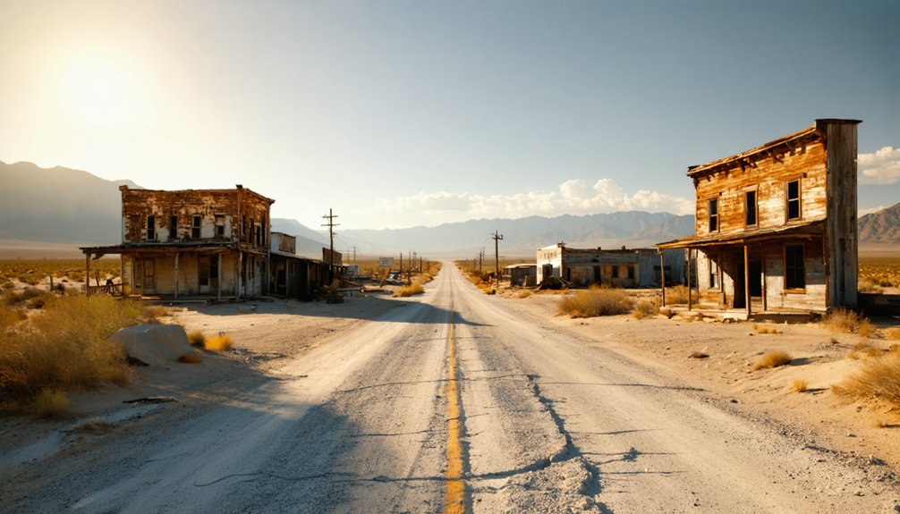
Planning a ghost town road trip to Indian Springs, California means trading gift shops and parking lots for raw, unfiltered history near Rough and Ready in Nevada County. You’ll find a quiet spring landscape that once fueled gold rush mining and supported a post office from 1858 to 1871. There’s no visitor infrastructure—just terrain that shaped a community’s rise and fall. Keep exploring, and you’ll uncover everything you need to find it and understand what made it matter.
Key Takeaways
- Indian Springs is a California ghost town near Rough and Ready in Nevada County, best explored using historical maps like the 1949 edition.
- The site has no preserved buildings, visitor amenities, or signage, so expect a raw, landscape-focused experience centered on the springs.
- Verify road access and land ownership through county maps and local records before visiting, as details remain poorly documented.
- Consult the Nevada County Historical Society and USGS topographic maps to research the site’s mining-era and postal history beforehand.
- Pair your visit with nearby ghost towns like North Bloomfield, Graniteville, You Bet, and Red Dog for a comprehensive road trip.
What Is Indian Springs, California?
Although it doesn’t appear on most tourist maps, Indian Springs is a small set of springs in Nevada County, California, near the community of Rough and Ready — and it carries a surprisingly layered history rooted in the state’s 19th-century mining era.
Off most tourist maps, Indian Springs quietly holds a layered past rooted in California’s 19th-century mining era.
The springs once supported an active mining settlement, complete with a post office that operated from 1858 to 1871 and briefly again in 1892. That postal history signals real, if intermittent, habitation.
Today, it’s classified as a California ghost town, meaning the cultural significance lies more in what happened there than what visibly remains. Local legends tied to frontier water sources and mining camps give the site an understated weight.
You’re not visiting a preserved town — you’re tracing the outline of one.
Where Is Indian Springs in Nevada County?
You’ll find Indian Springs tucked into Nevada County in Northern California, close to the small community of Rough and Ready. That neighboring town gives you a reliable geographic anchor when you’re plotting your route, since Indian Springs itself won’t appear on most modern road maps.
Your best bet is to pull up a historical map, like the 1949 edition where the site still appears by name, to pinpoint the location before you head out.
Nevada County Location Overview
Tucked into Nevada County in Northern California, Indian Springs sits near the small community of Rough and Ready — a useful landmark when you’re plotting your route. Nevada County holds deep cultural significance tied to California’s 19th-century Gold Rush, and Indian Springs fits right into that larger story.
The region’s rugged terrain once drew miners, settlers, and dreamers chasing opportunity, leaving behind local legends woven into the landscape. When you’re orienteering toward Indian Springs, treat Rough and Ready as your geographic anchor point.
The springs themselves define the location more than any built structure does, since little physical evidence of the settlement remains. Before you head out, cross-reference county maps and historical records to confirm your route — road access and land ownership aren’t well-documented in standard visitor guides.
Near Rough And Ready
When you’re mapping out a ghost town road trip through Northern California, Indian Springs sits close enough to Rough and Ready that the latter works as your practical starting point. Rough and Ready carries its own cultural significance as a documented mining-era settlement, giving you immediate historical context before you push further toward Indian Springs.
The springs themselves shaped settlement patterns in ways that still matter for understanding the environmental impact of California’s mining era. Water sources dictated where communities formed, survived, and eventually collapsed. Knowing that connection helps you read the landscape rather than just drive through it.
Use Rough and Ready as your navigation anchor, verify your route through county maps, and approach Indian Springs as a geographic waypoint with a story worth tracing on the ground.
Finding It On Maps
Finding Indian Springs on a modern map takes some patience, but a 1949 map confirms the name persisted well past the post office era, so historical cartographic sources are your best starting point. County archives and historical society collections often hold survey maps that capture places digital platforms overlook entirely.
Cross-reference Nevada County records with older USGS topographic sheets to narrow your search. The springs themselves carry the real cultural significance here, since water sources shaped where miners settled, traded, and built community life. Understanding the environmental impact those springs had on settlement patterns helps you read the landscape more accurately once you’re on the ground.
Before you drive out, verify road access through current county resources so you’re not chasing a name without a confirmed route.
The Mining-Era History Behind Indian Springs
When you trace Indian Springs’ origins, you’ll find that the natural springs themselves drove settlement growth, giving miners a reliable water source in the rugged Nevada County terrain.
That practical lifeline turned a campsite into a recognized community, one substantial enough to support a post office from 1858 to 1871 and briefly again from 1892 to 1893.
You can read those postal dates as a rough timeline of the town’s rise, partial decline, and short-lived revival during California’s broader mining era.
Springs Shaped Settlement Growth
During California’s gold rush era, water wasn’t just a convenience—it was the backbone of every mining settlement that managed to survive long enough to matter. Indian Springs’ spring significance directly shaped its settlement influence, drawing miners who needed reliable water for daily survival and placer operations.
Springs determined where communities took root by providing:
- Drinking water for transient mining crews
- Hydration for pack animals hauling equipment and supplies
- Water flow essential for basic placer gold extraction
- A natural gathering point that encouraged permanent camp formation
- Sustained resources that justified building a post office and infrastructure
When you trace Indian Springs’ origins, you’re really following the water. Without those natural springs, no settlement forms, no post office opens, and no ghost town story exists for you to explore today.
Post Office Era History
Those natural springs didn’t just attract miners—they anchored a community substantial enough to earn its own post office. From 1858 to 1871, Indian Springs maintained an active postal designation, confirming real, sustained habitation rather than a temporary camp.
That cultural significance matters when you’re mapping a road trip through Nevada County’s forgotten corners.
The post office returned briefly from 1892 to 1893, suggesting the area still pulled people back despite its decline. You can read that pattern as a community responding to shifting economic tides—and to the environmental impact of exhausted mines and changing water availability.
When you visit today, those postal records become your strongest evidence that people genuinely built lives here. Let that history guide your expectations before you ever set foot on the site.
What Makes Indian Springs Different From Preserved Ghost Towns
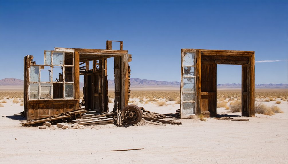
Unlike Bodie or Columbia, Indian Springs doesn’t offer you a walkable main street, a museum, or a cluster of preserved buildings to photograph. Cultural preservation here means something quieter — the land itself holds the story.
Visitor accessibility is minimal, so you’re arriving as an explorer, not a tourist.
What sets Indian Springs apart:
- No maintained visitor infrastructure or signage guides your experience
- The spring site replaces architecture as the primary historical anchor
- You’re reading landscape instead of interpretive plaques
- Ghost-town status reflects decline, not a frozen moment in time
- Freedom to interpret the place comes without guardrails or curated narratives
That rawness is exactly the point.
If you want an unscripted connection to California’s mining era, Indian Springs delivers on its own terms.
How to Route to Indian Springs Through Rough and Ready
Getting there’s part of the experience, and Rough and Ready gives you a practical anchor point for routing to Indian Springs. This small Nevada County community sits close enough to orient your drive without locking you into a rigid itinerary.
Unlike Rough and Ready, which carries its own local legends and occasional tourist amenities, Indian Springs offers a quieter, map-dependent approach.
Pull up a county map before you leave, confirm the roads leading toward the springs near the ghost-town site, and plan your fuel and supplies beforehand. No visitor infrastructure waits for you at the destination.
What you’ll find instead is open terrain, historical context, and the satisfaction of reaching a place most road-trippers overlook entirely. That freedom makes the routing effort worthwhile.
What Survives at Indian Springs Today
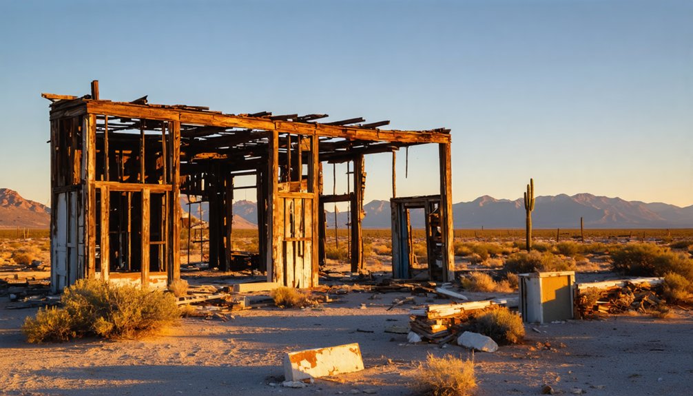
What survives at Indian Springs today is more geography than architecture. You’ll find a natural landscape shaped by the same springs that drew miners here over a century ago. The built environment is largely gone, but the land itself still holds the story.
Here’s what you can expect on the ground:
- The spring site remains the central geographic feature worth locating
- Surrounding terrain functions as a wildlife habitat supporting native species
- No preserved town center, museum district, or tourism infrastructure exists
- The name persisted on maps as late as 1949, confirming cartographic relevance
- County records and historical society archives offer more detail than the site itself
Come with realistic expectations. You’re visiting a historical waypoint, not a restored attraction.
County Maps and Historical Sources Worth Consulting Before You Go
Before you make the drive, do your homework—because Indian Springs rewards preparation more than spontaneity. Nevada County historical maps are your strongest starting point, especially the 1949 map confirming the site’s continued cartographic recognition.
Pull records from the Nevada County Historical Society to understand the settlement patterns that shaped the community around those water sources during the mining era.
California’s ghost-town research networks and county land records can clarify road access and current ownership status.
Cross-reference any findings against USGS topographic maps to pin the exact spring location.
Avoid confusing this site with Indian Springs in Kern County or the Calistoga spa resort—both share the name.
Verification before departure keeps your road trip efficient and your historical expectations accurate.
Other Nevada County Ghost Towns Worth Pairing With Indian Springs
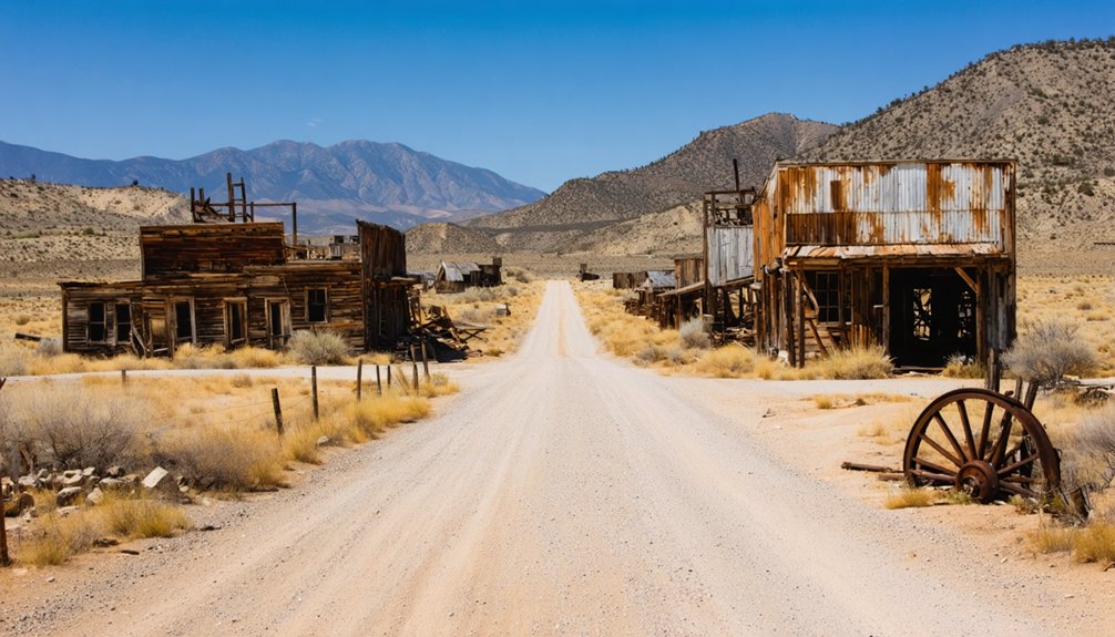
Since Indian Springs works best as one stop on a longer route, pairing it with other Nevada County ghost towns turns a brief historical detour into a full day’s itinerary. The region holds several sites where cultural significance and environmental impact shaped how communities rose and collapsed during the mining era.
- Rough and Ready – A short drive away and Nevada County’s most recognized ghost-town anchor
- North Bloomfield – Home to hydraulic mining history with visible environmental impact on the landscape
- Graniteville – A quiet, high-elevation remnant with strong cultural significance tied to isolation
- You Bet – An amusingly named settlement worth tracking down on county maps
- Red Dog – Another lesser-known stop that rewards readers who crave obscure historical finds
Frequently Asked Questions
Is There an Admission Fee or Permit Required to Visit Indian Springs?
There’s no documented admission fee or permit required, but you’ll want to verify entry requirements and visitor restrictions beforehand, as ownership and access conditions aren’t fully established for this remote ghost town site.
What Is the Best Time of Year to Visit Indian Springs?
Spring’s golden embrace makes it your best season to visit, when seasonal weather stays mild for exploring. You’ll dodge summer’s heat, and nearby local festivals in Nevada County can enrich your ghost-town adventure beautifully.
Are There Camping Options Near Indian Springs for Overnight Road-Trippers?
You’ll find overnight accommodations in nearby Nevada County campgrounds, so pack your camping gear and embrace the freedom of sleeping under Northern California’s stars before exploring Indian Springs’ fascinating mining-era history the next morning.
Is the Indian Springs Site on Public or Private Land?
You’ll find that ownership details aren’t confirmed, so it’s quite a coincidence that the site’s historical significance and local legends persist despite unclear access. Verify land status through Nevada County records before you venture out.
Can I Find Indian Springs Marked on Modern GPS Navigation Apps?
You might find Indian Springs through modern mapping tools, but GPS accuracy varies for obscure ghost towns. Always verify with county historical maps before you hit the road to chase this elusive California relic.
References
- https://scoobydoo.fandom.com/wiki/Indian_Springs
- https://www.indianspringscalistoga.com/
- https://en.wikipedia.org/wiki/Indian_Springs
- https://www.reddit.com/r/bayarea/comments/1rqg0ym/planning_a_calistoga_hot_springs_trip_looking_for/
- https://en.wikipedia.org/wiki/List_of_ghost_towns_in_California
- https://a.osmarks.net/content/wikipedia_en_all_maxi_2020-08/A/List_of_ghost_towns_in_California
- https://en.wikipedia.org/wiki/Category:California_ghost_town_stubs
- https://www.youtube.com/watch?v=dQxSH3XBdXY
- https://en.wikipedia.org/wiki/List_of_ghost_towns_in_Nevada



