Jonican, Kentucky sits 7.2 miles east-southeast of Pikeville, tucked into Pike County’s Appalachian hill country along Jonican Branch and Jonican Road. It’s a true coal-era ghost town — no signage, no facilities, just overgrown terrain and quiet history. You’ll want Pikeville as your base for fuel, lodging, and supplies before heading out. County highway maps are your most reliable navigation tool since GPS often falls short here. There’s far more to uncover about planning this road trip successfully.
Key Takeaways
- Jonican is located 7.2 miles east-southeast of Pikeville, Kentucky, making Pikeville the ideal base for lodging, fuel, and supplies.
- Use county highway maps instead of GPS apps, as modern navigation tools may lack accuracy for this remote area.
- Follow Jonican Road along Jonican Branch to locate the ghost town, watching for abandoned structures as indicators.
- Visit on a weekday in late spring or early fall for the best road conditions and exploration experience.
- Combine Jonican with nearby Pike County ghost towns to create a full-day Appalachian coal-era heritage road trip.
What Makes Jonican a True Kentucky Ghost Town?
Tucked about 7.2 miles east-southeast of Pikeville, Jonican sits quietly along Jonican Branch and Jonican Road — a name on a map where a community used to breathe. Pike County’s coal history built towns like this one fast and abandoned them faster.
Community decline reshaped eastern Kentucky’s landscape, leaving behind roads, waterways, and place names without the people who once gave them purpose. Jonican fits that pattern exactly. No active civic life remains, yet county highway maps still carry its name — a small act of historical preservation that keeps the memory alive for curious travelers like you.
You won’t find storefronts or welcome signs here. What you’ll find is honest Appalachian history written into the land itself, waiting for someone willing to look.
Where Exactly Is Jonican Located in Pike County?
You’ll find Jonican tucked into Pike County, Kentucky, along Jonican Branch and Jonican Road in the rugged hill country of eastern Appalachia.
The settlement sits roughly 7.2 miles east-southeast of Pikeville, making that city your best navigation anchor when you’re planning your route.
Pull up a county highway map before you head out, since Jonican carries no major modern landmarks to guide you in.
Pike County Exact Position
Nestled in Pike County, Kentucky, Jonican sits about 7.2 miles east-southeast of Pikeville, positioning it deep in the rural hill country of eastern Kentucky. You’ll find it along Jonican Branch and Jonican Road, two geographic markers that still carry the settlement’s name long after the community faded. That persistence speaks to the area’s historical preservation instincts, keeping the name alive on county highway maps even without a functioning town beneath it.
For travelers chasing authentic Appalachian history, this location carries real tourism potential. Pikeville serves as your best navigation anchor before you head out on rural roads toward the site. Expect open terrain, quiet stretches, and the kind of unhurried atmosphere that lets you absorb eastern Kentucky’s coal-town legacy on your own terms.
Distance From Pikeville
Sitting about 7.2 miles east-southeast of Pikeville, Jonican places you well into Pike County’s rural interior, where paved roads thin out and the hill country takes over. That distance feels longer once you’re driving it, because the terrain demands your attention and the landscape shifts noticeably from town to hollow.
Pikeville serves as your practical anchor point — fuel up, check your map, and head east-southeast with purpose. You’ll follow Jonican Road alongside Jonican Branch, letting both the road and the waterway guide you in.
What you find reflects historical preservation through geography rather than infrastructure. Abandoned structures and faded settlement patterns tell the story here. It’s not a long drive from Pikeville, but it moves you into a completely different world.
How to Find Jonican Using County Highway Maps
When you pull up a Pike County highway map, you’ll spot Jonican labeled along Jonican Road near Jonican Branch.
Use Pikeville as your anchor point, since Jonican sits roughly 7.2 miles to the east-southeast.
County highway maps remain your most reliable tool here, as the ghost town carries no modern civic footprint to guide you otherwise.
Locating Jonican On Maps
Once you’re moving through the area, watch for historical landmarks and abandoned structures that signal you’ve entered the settlement’s former boundaries.
Freedom-minded explorers who do their map research beforehand will navigate this rural corridor confidently, turning what could be a frustrating search into a rewarding heritage discovery.
Using Pikeville As Reference
Pikeville serves as your most reliable anchor point when tracking down Jonican on a county highway map. Position yourself in Pikeville first, then trace east-southeast roughly 7.2 miles until Jonican Branch and Jonican Road appear on your map.
You’ll likely need a detailed county highway map rather than a standard GPS app, since ghost towns carry little modern digital footprint.
Jonican’s survival on printed maps reflects quiet historic preservation efforts that keep fading Appalachian communities from disappearing entirely. Locals sometimes share their own stories and local legends about the old coal-era settlements scattered through Pike County, so don’t hesitate to ask around Pikeville before heading out.
Treat Pikeville as your supply stop, fuel up, grab a paper map, and then navigate confidently toward this forgotten piece of eastern Kentucky history.
Use Pikeville as Your Jonican Road Trip Base
Since Jonican sits just 7.2 miles east-southeast of Pikeville, you’ll want to use that city as your home base before heading out to explore the ghost town. Pikeville offers lodging, fuel, and food that Jonican simply can’t provide anymore.
Urban decay has quietly reclaimed what was once an active coal-era settlement, leaving little infrastructure behind.
From Pikeville, you’ll navigate east-southeast using Jonican Road as your guide toward Jonican Branch. Verify your route on county highway maps beforehand, since modern GPS apps may not reliably mark the location.
This trip rewards those who appreciate historical preservation — the kind that lives on road signs and regional maps rather than visitor centers. Pack what you need, because once you leave Pikeville, you’re on your own.
Why Jonican Became a Ghost Town in the First Place

Like most small communities scattered across eastern Kentucky’s hills, Jonican grew up around coal. When the industry boomed, small towns like this one filled with workers, families, and purpose.
When the coal dried up or became unprofitable, people left, and the community hollowed out into the urban decay you can still sense today.
You’re not looking at a dramatic collapse — you’re looking at a slow fade. Jobs disappeared, residents relocated, and infrastructure stopped receiving attention.
What remained were roads, a branch, and a name still printed on maps.
That’s actually where historical preservation quietly steps in. Jonican survives on county highway maps and in written records, keeping its story accessible to anyone willing to explore eastern Kentucky’s layered Appalachian past on their own terms.
No Facilities, No Signage: What Jonican Looks Like Today
What you’ll actually find when you reach Jonican follows naturally from that slow fade — there’s nothing staged or marked for visitors. No signs announce your arrival, no facilities wait along the roadside, and no historic preservation effort has formalized the site into a destination.
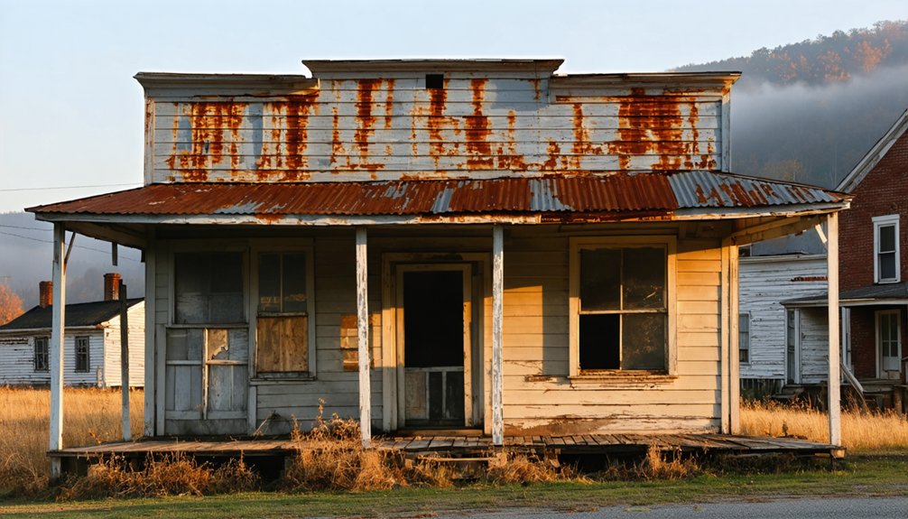
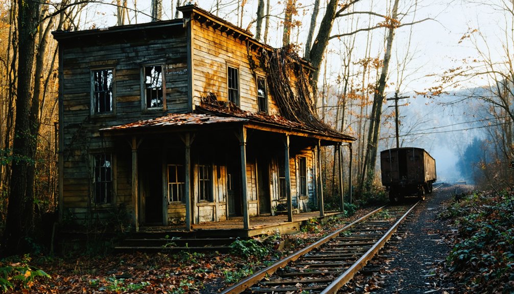
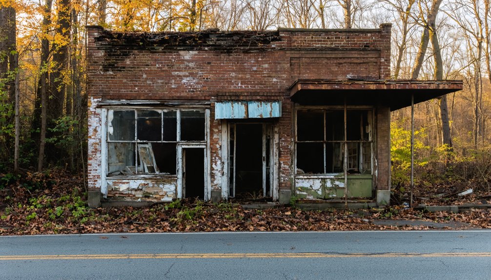
What remains is raw rural landscape shaped by quiet urban decay — overgrown ground, sparse structures, and the kind of stillness that speaks louder than any marker could. Jonican Road and Jonican Branch still carry the name forward, and county highway maps still show the location, but the place itself asks nothing of you except attention.
You’ll need to bring your own context, your own curiosity, and a reliable map before you ever leave the Pikeville area heading east-southeast.
The Best Time to Visit Jonican, Kentucky
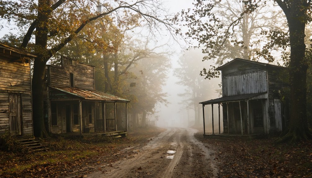
Timing your visit to Jonican well makes a genuine difference when the destination offers no infrastructure to compensate for bad conditions. Late spring and early fall give you the clearest roads, manageable temperatures, and enough daylight to explore the rural landscape comfortably.
Summer works if you avoid peak heat, but overgrown vegetation can obscure what little remains of this historical landmark. Winter turns Jonican Road treacherous and limits visibility considerably.
Go on a weekday when you want quiet. You’ll move freely through the area without distraction, which matters when you’re piecing together local legends and imagining what this coal-era community once looked like.
Bring your own map, check road conditions before leaving Pikeville, and give yourself enough daylight to reach the site and return safely.
Nearby Pike County Ghost Towns to Pair With Jonican
Pike County holds enough ghost towns that a single stop at Jonican would leave serious road-trippers shortchanged. The county’s coal history scattered dozens of small settlements across its ridges and hollows, many of which now sit quietly off rural roads.
You can build a full day’s route by connecting Jonican with other faded communities nearby, letting each stop tell a piece of the same industrial story. Historic preservation efforts across Pike County have kept enough place names and road markers alive to make navigation manageable.
Tourism development in eastern Kentucky remains modest, which actually works in your favor—you’ll move through these sites without crowds or commercialization. Research county highway maps before leaving, confirm road conditions, and treat each location as a chapter in a larger Appalachian narrative worth reading firsthand.
Safety Tips for Visiting Jonican and Similar Kentucky Ghost Towns
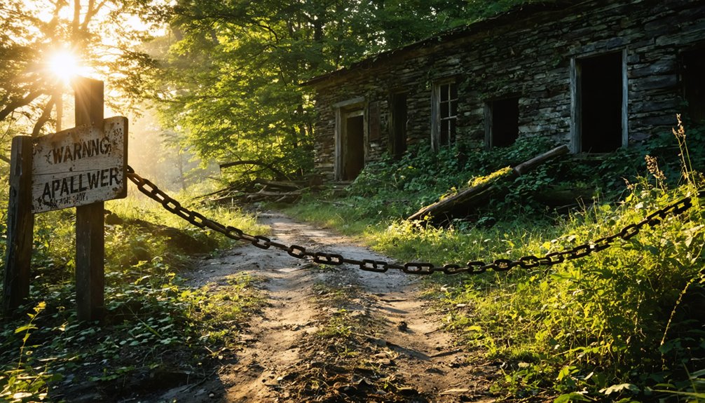
Mapping out a multi-stop route through Pike County’s ghost towns is satisfying work, but you’ll want to pair that planning with a clear-eyed look at what visiting abandoned rural sites actually demands.
Jonican’s rural roads can narrow quickly, so drive carefully and keep your tank full before leaving Pikeville. Respect any private property boundaries you encounter — historical preservation depends partly on visitors treating these sites responsibly.
Wear sturdy footwear if you’re walking near Jonican Branch, since creek-side terrain gets slippery. Local legends surrounding old coal towns can make exploration feel atmospheric, but don’t let that excitement push you onto unstable ground or into unmarked structures.
Tell someone your route before you head out, carry a paper map as backup, and treat every stop as the remote heritage site it genuinely is.
Frequently Asked Questions
Is Jonican the Same Place as Jonkan on Older Maps?
Yes, they’re the same place! You’ll find Jonican listed as an alternate name for Jonkan on older maps. Knowing this ghost town history detail sharpens your road trip planning when traveling through Pike County’s fascinating, forgotten Appalachian communities.
Can You Legally Access Jonican Road Without a Permit?
You’ll be relieved to discover that Jonican Road offers public access with no permit requirements — you’re free to drive it. Verify current county road conditions before heading out, since rural access points can occasionally change.
Does Jonican Branch Flood the Road During Certain Seasons?
Jonican Branch can cause seasonal flooding that affects the road, especially during heavy spring rains. You’ll want to check local conditions before heading out, as road closures can catch unprepared travelers off guard.
Are There Any Local Guided Tours Covering Jonican Specifically?
You won’t find dedicated local tour options or guided exploration covering Jonican specifically. It’s a remote ghost town, so you’re free to chart your own independent course using county maps and personal curiosity.
Has Jonican Ever Appeared in Kentucky Historical Preservation Records?
Boot up your search, but you won’t find Jonican explicitly in Kentucky’s historical preservation records. It’s one of those abandoned settlements that slipped through the cracks, never formally recognized as among the state’s historic landmarks.
References
- https://en.wikipedia.org/wiki/Jonkan
- https://kids.kiddle.co/Jonkan
- https://lostandabandonedadventures.weebly.com/ghost-town-of-jonkan-kentucky.html
- https://www.onlyinyourstate.com/trip-ideas/kentucky/this-haunting-road-trip-through-ky-ghost-towns-is-one-you-wont-forget
- https://www.youtube.com/watch?v=D9gOmfCuKLs