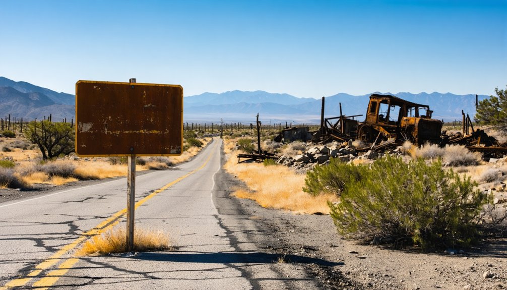
Planning a ghost town road trip to Mount Ophir takes you deep into California’s Gold Rush heartland in Mariposa County. You’ll explore crumbling mint ruins where $50 gold slugs were once stamped, walk stone foundations of frontier commerce, and follow historic Highway 49 past nearby ghost towns like Hornitos, Coulterville, and Bear Valley. The site’s accessible year-round with standard vehicles and no special gear required. Stick around to uncover everything that makes this forgotten landmark worth the journey.
Key Takeaways
- Mount Ophir, located in Mariposa County, is accessible year-round via paved Highway 49, suitable for standard 2WD vehicles.
- Spring and fall offer the most comfortable temperatures for exploring the ruins and surrounding landscape.
- Bring water and supplies, as the site has no on-site amenities or modern facilities.
- Key landmarks include the Moffat mint ruins, Trabucco store remnants, stone foundations, and historic wells.
- Nearby ghost towns like Hornitos, Coulterville, and Bear Valley enrich the road trip with additional Gold Rush history.
Why Mount Ophir’s Mint Ruins Still Draw Gold Rush Visitors
Even if you’ve visited dozens of California ghost towns, Mount Ophir’s mint ruins carry a weight that most sites can’t match. This is where the first authorized gold stamping operation in California stood, turning raw gold panning yields into official $50 octagonal slugs that circulated across the West.
You’re not just walking past crumbling walls here. You’re standing at the commercial heart of the southern Gold Rush, where miners traded dust for stamped currency. The Moffat mint ruins and the Trabucco store remains give you something tangible to anchor the history.
Historic signage along the site connects the physical remnants to the broader story, so you leave with real context rather than guesswork. Few ghost towns deliver that combination of documented significance and surviving structure.
The Gold Rush History That Built Mount Ophir
When you trace Mount Ophir’s origins back to 1850, you find a town born entirely from Gold Rush ambition, built along a key route connecting the southern mines to the San Joaquin Valley.
By 1851, the Mount Ophir Mint was stamping iconic octagonal $50 gold slugs, making it the first authorized gold stamping operation in California and a crucial hub where miners exchanged gold dust for coins and bullion.
Once the Gold Rush faded and transportation routes shifted, the town lost its purpose, leaving behind only ruins where a thriving commercial center once stood.
Gold Rush Origins
California’s Gold Rush of 1849 didn’t just draw fortune seekers — it built entire towns almost overnight, and Mount Ophir was one of them. Founded in 1850 in Mariposa County’s western Sierra Nevada foothills, the town rose quickly as miners flooded the region chasing gold.
You’d have found a bustling stop here — stores, tents, and a hotel lining the main road connecting the southern mines to the San Joaquin Valley. Miners relied on evolving mining techniques and gold extraction methods to pull wealth from the land, then passed through Mount Ophir to convert raw findings into usable currency.
The town’s position along this critical route made it more than a camp — it became a commercial cornerstone of California’s most transformative era.
The Mount Ophir Mint
What set Mount Ophir apart from other Gold Rush camps was its mint. Built in 1851 by John Moffat, the Mount Ophir Mint transformed raw gold dust into something spendable. You’re visiting a site where early California commerce literally took shape.
Here’s what made the mint remarkable:
- It produced iconic octagonal $50 gold slugs
- It operated as California’s first authorized gold stamping facility
- It connected miners hauling gold dust through the region to legitimate currency
- Its mining machinery represented cutting-edge assaying technology for the era
Augustus Humbert, California’s first U.S. Assayer of Gold, tied his legacy directly to this operation. When you stand among the Moffatt mint ruins today, you’re touching the foundation of California’s earliest financial infrastructure.
Decline After Gold Rush
As the Gold Rush frenzy faded in the 1850s, Mount Ophir lost the economic pulse that had kept it alive. Advances in mining technology shifted operations toward larger, industrial-scale ventures, leaving small assay towns like Mount Ophir without purpose.
Miners moved on, chasing richer strikes elsewhere, and the steady flow of gold dust that once defined daily commerce dried up.
Town abandonment followed quickly. Stores closed, tents disappeared, and the hotel fell silent. Changing transportation routes further isolated the settlement, cutting it off from the regional trade networks it depended on.
Without miners needing coins or bullion stamped, the mint lost its reason to operate.
What remained were stone foundations, crumbling walls, and a quiet hillside — the skeleton of a town that had burned bright and brief.
How the Mount Ophir Mint Shaped California’s Early Economy
During the California Gold Rush, the Mount Ophir Mint played a pivotal role in stabilizing the region’s chaotic early economy. You’re looking at California’s first authorized gold stamping operation, where raw gold transformed into recognized currency.
During the Gold Rush, the Mount Ophir Mint transformed raw gold into recognized currency — stabilizing California’s chaotic early economy.
Here’s how the mint shaped early California:
- Standardized value – It converted gold dust into official $50 octagonal slugs, eliminating guesswork in trade.
- Empowered miners – You could exchange raw gold for reliable currency, freeing commerce from barter chaos.
- Cultural influence – The mint established trust-based economic culture across the southern mining districts.
- Modern preservation – Remaining Moffat mint ruins let you witness this financial history firsthand.
The mint didn’t just process gold — it built the economic foundation California needed to thrive.
What Ruins Can You Still See at Mount Ophir Today?
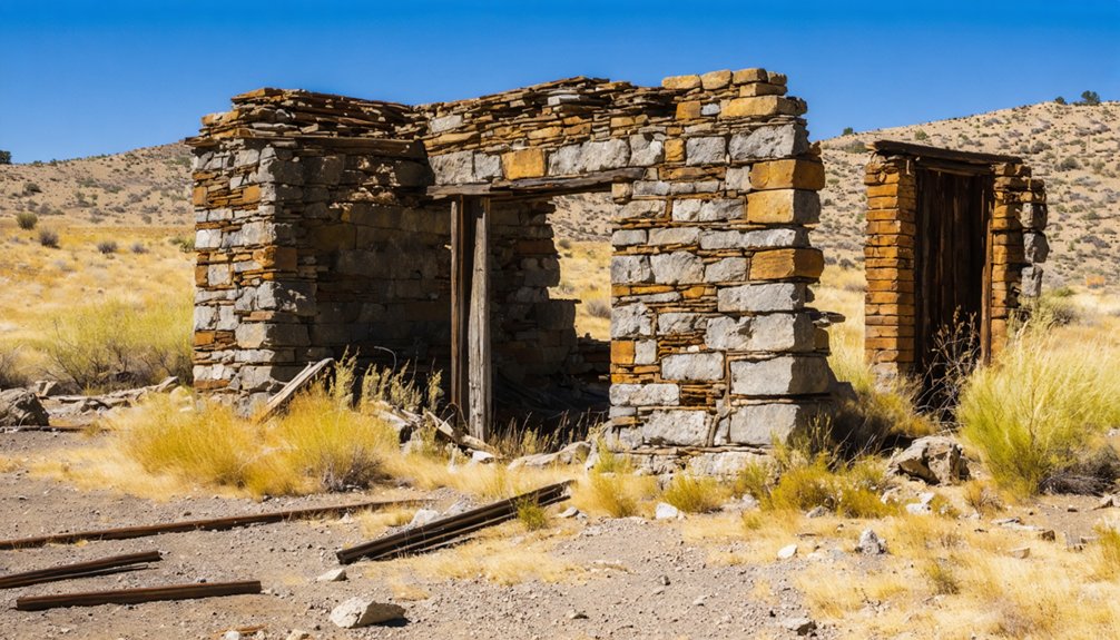
Though much of Mount Ophir has surrendered to time, you’ll still find tangible remnants of its Gold Rush past scattered across the site. The Trabucco store ruins stand as a quiet evidence to frontier commerce, while the Moffat Mint ruins mark where early mining technology transformed raw gold into stamped currency.
You’ll also spot several stone foundations and crumbling walls that once supported hotels, tents, and bustling trade operations. Wells dot the landscape, offering glimpses into daily pioneer life.
Preservation efforts remain limited here, so what survives does so largely on its own terms. That rawness is part of the appeal. This isn’t a polished historic park — it’s an honest, unfiltered slice of California’s Gold Rush story waiting for you to explore.
Where Is Mount Ophir Located and How Do You Find It?
Mount Ophir sits in Mariposa County, California, tucked into the western foothills of the Sierra Nevada at roughly 37.51466° N, 120.06462° W, about 1,946 feet above sea level.
You’ll find it just west of Highway 49, southwest of the town of Mariposa, near the old highway alignment.
The roads are 2WD-accessible, so you don’t need a truck or SUV to reach the site.
General Location and County
Tucked into the western foothills of the Sierra Nevada, Mount Ophir sits in Mariposa County, California, just west of Highway 49 and southwest of the town of Mariposa. Don’t expect modern amenities or visitor amenities here — this is raw Gold Rush history on open land.
Here’s what defines its general location:
- County: Mariposa County, California
- Region: Western Sierra Nevada foothills
- Highway reference: Just west of Highway 49
- Nearest town: Southwest of Mariposa
The site rests at roughly 1,946 feet elevation, near the old highway alignment that once connected southern mines to the San Joaquin Valley. Its coordinates sit near 37.51466° N, 120.06462° W, making it straightforward to pin on any map before you hit the road.
Finding Mount Ophir is straightforward once you know what to look for. Head southwest of Mariposa on Highway 49, keeping your eyes west of the highway near the old road alignment. Your coordinates are approximately 37.51466° N, 120.06462° W, sitting at roughly 1,946 feet elevation.
You’ll find the site about one mile north of the Old Toll Road to Hornitos. The access road is 2WD-friendly, so you don’t need a specialized vehicle to explore freely.
Local legends surrounding the mint ruins and preservation efforts protecting remaining stone foundations make this stop genuinely rewarding. Watch for the Trabucco store ruins and Moffatt mint remnants as your landmarks.
The site sits close to the highway, making it an efficient stop on any Highway 49 Gold Rush itinerary.
What Road Conditions Should You Expect Driving to Mount Ophir?
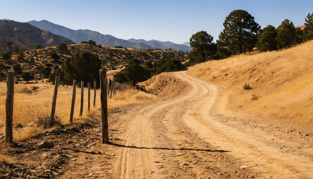
Getting to Mount Ophir is pleasantly straightforward — the site sits just west of Highway 49 in Mariposa County, and standard 2WD vehicles handle the road conditions without trouble.
Here’s what to expect on your drive:
- Paved primary access — Highway 49 delivers you directly to the area with no off-road detours required.
- Mild seasonal conditions — summers run warm, winters stay cool, but the road remains passable year-round.
- Historic road alignment — you’ll travel near original Gold Rush-era routes, connecting you to genuine cultural heritage.
- Minimal infrastructure — preservation efforts haven’t transformed this into a polished attraction, so expect a raw, honest roadside stop.
Pack water, check your fuel, and enjoy the freedom of arriving somewhere history hasn’t fully surrendered to time.
What Is the Best Time of Year to Visit Mount Ophir?
Once you’ve sorted out the drive, picking the right time to roll in matters just as much — and Mount Ophir keeps things simple here. The site’s accessible year-round, so you’re not locked into a narrow travel window.
That said, spring and fall offer the most comfortable temperatures for exploring ruins and scanning foundations without sweating through a Sierra Nevada summer. Summer heat can be intense in these western foothills, though it’s still manageable.
Winter brings cooler, quieter conditions that work well if you prefer solitude over crowds.
Keep in mind there are no visitor facilities on-site, so pack water, snacks, and whatever you need before you arrive. Local wildlife stays active throughout the seasons, adding a natural layer to your historical stop.
Highway 49 Ghost Towns Near Mount Ophir Worth Adding to Your Route
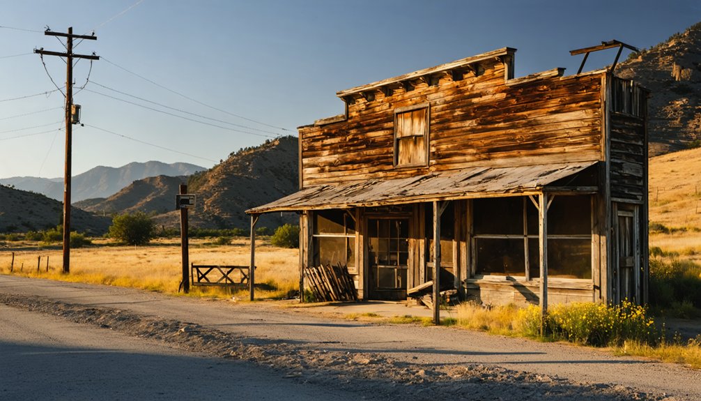
Highway 49 strings together some of California’s most compelling Gold Rush remnants, and Mount Ophir sits right in the middle of strong company. Extend your route and you’ll find towns that reveal early mining techniques and Gold Rush artifacts hiding in plain sight.
- Hornitos – A rough-and-tumble mining camp with adobe ruins and a genuine outlaw history.
- Coulterville – Home to preserved storefronts and a museum packed with regional Gold Rush artifacts.
- Mariposa – California’s oldest county seat, featuring a working 1854 courthouse still standing strong.
- Bear Valley – John C. Frémont’s former headquarters, where early mining techniques shaped the region’s economy.
Each stop adds depth to your trip, turning a single ghost town visit into a full historical corridor worth your time.
Frequently Asked Questions
Are There Any Entry Fees or Permits Required to Visit Mount Ophir?
You’ll find no entry fees or permits required to visit Mount Ophir. There’s no formal parking regulations or trail maintenance infrastructure here — it’s a free, open roadside historic site welcoming every freedom-seeking explorer.
Is Mount Ophir Suitable for Children or Elderly Visitors?
“Slow and steady wins the race” — Mount Ophir’s 2WD access and flat ruins make child safety and elderly accessibility manageable. You’ll enjoy exploring stone foundations and historic mint sites comfortably year-round without strenuous hiking demands.
Can You Find Any Mount Ophir Artifacts in Nearby Museums?
You’ll likely find historical artifacts and museum exhibits related to Mount Ophir at the Mariposa Museum and History Center, where Gold Rush-era coins, mining tools, and local relics bring California’s fascinating minting legacy vividly to life.
Are There Restrooms or Facilities Available at the Mount Ophir Site?
With zero modern facilities at this 1850s ghost town, you won’t find restroom access or facilities availability at Mount Ophir. Plan ahead, pack your essentials, and embrace the raw, untamed freedom of exploring this historic, off-grid site!
How Long Should You Plan to Spend Visiting Mount Ophir?
Plan about 30–60 minutes exploring Mount Ophir’s historical significance, ruins, and foundations. You’ll want extra time for wildlife viewing along the surrounding foothills. It’s a rewarding, unhurried stop that lets you breathe in California’s free-spirited Gold Rush heritage.
References
- https://en.wikipedia.org/wiki/Mount_Ophir
- https://www.ghosttowns.com/states/ca/mountophir.html
- http://wikimapia.org/30403740/Mount-Ophir-site
- https://en.wikipedia.org/wiki/List_of_ghost_towns_in_California
- https://www.youtube.com/watch?v=fRBjAAQHiWY
- https://mapcarta.com/23096176
- https://travelthruhistory.com/gold-rush-ghost-towns-and-ruins-in-californias-high-sierra/



