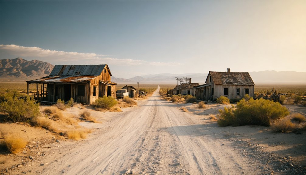
Planning a ghost town road trip to Levee Spur means heading into Kern County’s quiet, open terrain where California’s railroad past faded without fanfare. The Sunset Railroad built this small settlement around rail geography, not gold or silver, and when train traffic shifted, the community simply disappeared. Today you’ll find no buildings or signs, just natural landscape and silence. Dig deeper and you’ll uncover everything you need to find it, explore it, and build a full ghost-town route around it.
Key Takeaways
- Levee Spur is a quiet, abandoned railroad settlement in Kern County with no preserved structures or signage remaining on site.
- Use historical USGS topographic maps and ghost-town databases to pinpoint Levee Spur’s approximate location before departure.
- Cross-reference the nearby settlement of Levee, 1.5 miles north, to help triangulate the site’s general area.
- Confirm land access, road conditions, and private property boundaries before visiting, and bring water and offline maps.
- Combine Levee Spur with other Kern County ghost towns for a fuller, more rewarding road trip experience.
What Railroad Built Levee Spur: and What Killed It?
The Sunset Railroad put Levee Spur on the map—and when rail traffic patterns shifted, it quietly erased it too. During California’s Wild West era, small rail-linked settlements sprouted wherever tracks touched land, and Levee Spur was no exception. The railroad created demand for local stopping points, fueling trade, travel, and brief prosperity tied directly to locomotive schedules.
You’ll find no Mining Boom legend attached to Levee Spur—its story is purely about rail geography. When transportation patterns changed and trains stopped prioritizing these small hubs, communities like Levee Spur simply faded. No dramatic collapse, just a slow erasure from daily use.
Nearby Levee, sitting roughly 1.5 miles north, followed a similar arc, appearing on maps as late as 1933 before fading from relevance entirely.
How the Sunset Railroad Shaped and Then Abandoned Levee Spur
Railroad geography didn’t just shape Levee Spur—it built it from the ground up. The Sunset Railroad corridor pulled small settlements into existence across Kern County, and Levee Spur was no exception. Where trains moved, trade followed, and communities briefly took root.
Where the Sunset Railroad moved, Kern County communities followed—Levee Spur among them, built entirely by the corridor’s pull.
Then transportation patterns shifted. When rail traffic bypassed these minor stops, the economic lifeline cut off fast. Levee Spur faded without ceremony, leaving behind a historical landscape more than a built one.
When you visit today, don’t expect vintage signage marking the spot or preserved structures lining a main street. Instead, you’ll find open terrain, local wildlife moving freely through land that commerce once touched, and a quiet that only abandoned places carry.
That freedom to explore history on its own terms makes the stop worthwhile.
How to Find Levee Spur Before You Leave Home?
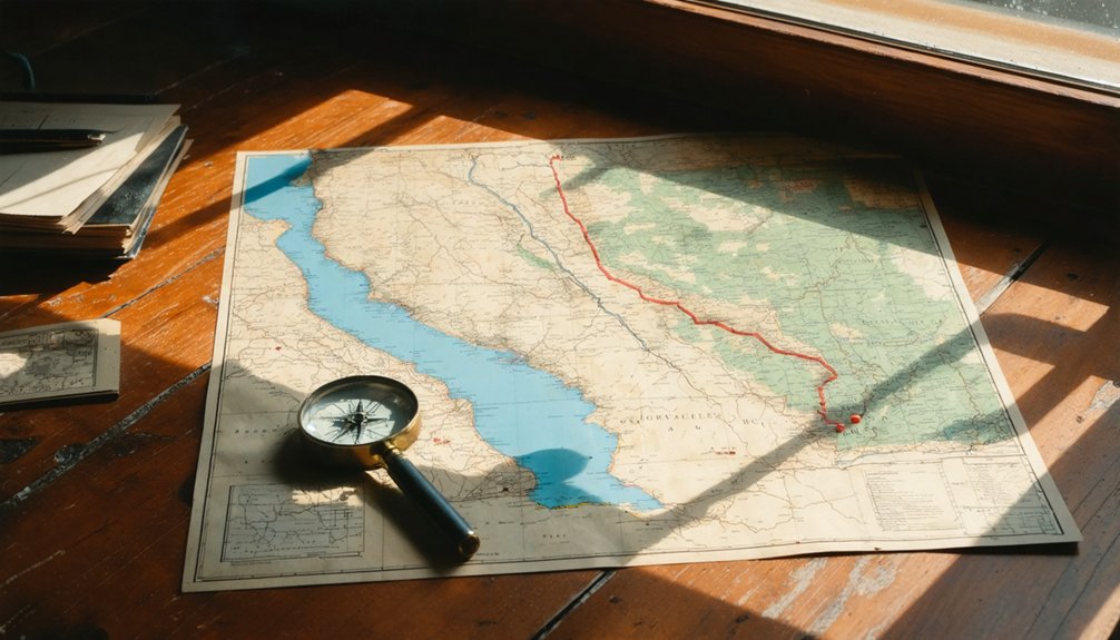
Before you load the car, do your homework—Levee Spur won’t announce itself once you’re on the road. Tracking down hidden landmarks like this takes preparation, not luck.
Start your research with these essential steps:
- Pull historical USGS topographic maps to pinpoint Levee Spur’s approximate location in Kern County.
- Search county archives and California ghost-town databases for confirmed references.
- Cross-reference the nearby former settlement Levee, situated roughly 1.5 miles north, to triangulate the area.
- Dig into local legends through railroad history forums and regional historical societies.
- Download offline maps before departure—cell service won’t save you in rural Kern County.
Verify land ownership and road access through county records before committing to a route.
Freedom means being prepared, not stranded on a dirt road with no plan.
What Will You Actually See at Levee Spur Today?
Once you’ve done the legwork at home and confirmed your route, you’ll want to set realistic expectations for what greets you at Levee Spur—because it won’t be a cinematic ghost town frozen in time.
What you’ll likely find is an open historical landscape shaped by railroad geography and agricultural land use. Standing structures are probably absent, so let the terrain itself tell the story.
Local flora—dry grasses, scrub brush, and desert-adapted plants typical of Kern County—will dominate the scene, framing a quiet stretch of California history.
That stillness carries its own reward for the freedom-seeking traveler.
Key visitor tips: bring water, wear sun protection, and carry offline maps. Treat access as uncertain, read posted signs carefully, and respect any private property boundaries you encounter.
How to Build a Kern County Ghost Town Road Trip Around Levee Spur?
Because Levee Spur offers more historical atmosphere than physical landmarks, it works best as an anchor point within a broader Kern County ghost-town loop rather than a stand-alone destination. Build your route around connected stops that reward curiosity, local legends, and photo opportunities across the region.
- Research nearby Kern County ghost towns to fill your itinerary with complementary stops.
- Use offline maps since many former settlements aren’t signed or easily searchable.
- Chase local legends at each location to enrich your understanding of rail-era decline.
- Scout photo opportunities during golden hour when flat landscapes gain dramatic depth.
- Verify land access and road conditions before departing to avoid dead ends.
This approach transforms a sparse site into a rich, freedom-driven journey through California’s forgotten railroad past.
Frequently Asked Questions
Is Levee Spur Located on Publicly Accessible Land or Private Property?
You can’t confirm whether Levee Spur sits on publicly accessible land or faces private property and access restrictions, so you’ll need to verify local county records and land boundaries before hitting the road.
What Is the Best Time of Year to Visit Levee Spur?
With Kern County averaging 271 sunny days yearly, you’ll find spring and fall offer the best conditions to explore Levee Spur’s historical significance and capture stunning photography opportunities before summer’s intense heat limits your freedom to roam.
Are There Any Entrance Fees Associated With Visiting Levee Spur?
You won’t pay any entrance fees at Levee Spur! It’s an open historical landscape where you’re free to explore its historical significance and enjoy unexpected wildlife viewing opportunities while roaming Kern County’s untamed, railroad-era ghost town terrain.
How Far Is Levee Spur From the Nearest Town With Amenities?
Exact distances aren’t confirmed, so you’ll want to research nearby Kern County towns before heading out. Stock up on supplies early—Levee Spur’s historical significance and potential wildlife viewing reward prepared adventurers who embrace the open road freely!
Is Levee Spur Safe to Visit Alone or Should Visitors Travel in Groups?
Imagine wandering alone and twisting an ankle miles from help. Solo safety at Levee Spur isn’t guaranteed, so you’d benefit from group exploration. Travel with at least one companion who carries a charged phone and offline maps.
References
- https://sfbayws.org/drawbridge/
- https://www.sfgate.com/local/article/bay-area-ghost-town-22330293.php
- https://www.youtube.com/watch?v=KRa3nHCR5jw
- https://en.wikipedia.org/wiki/List_of_ghost_towns_in_California
- https://a.osmarks.net/content/wikipedia_en_all_maxi_2020-08/A/List_of_ghost_towns_in_California
- https://www.youtube.com/watch?v=A8rh-5oaOQ4
- https://kids.kiddle.co/Levee
- https://www.7×7.com/a-ghost-town-near-sacramento-contains-little-known-california-history-1781796785.html



