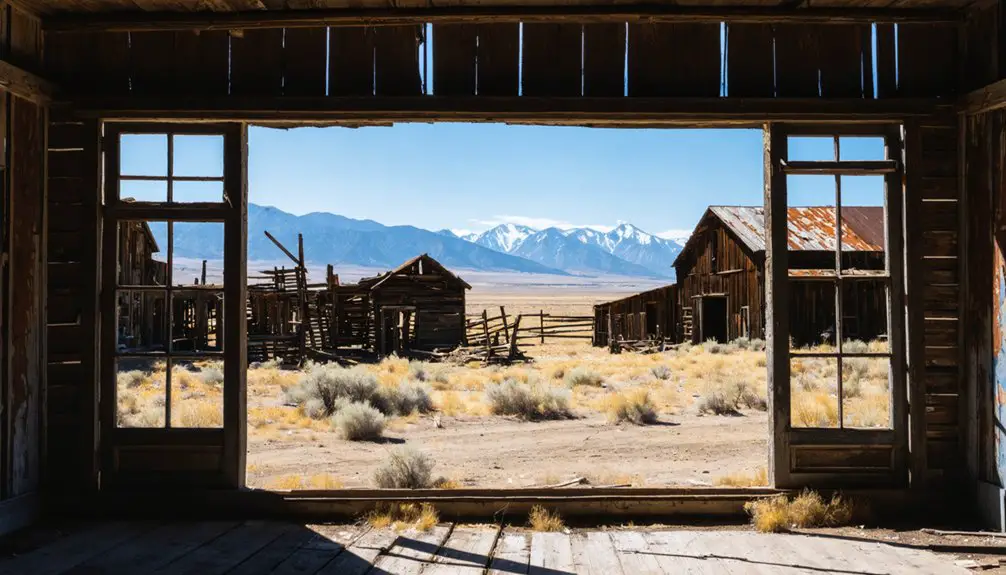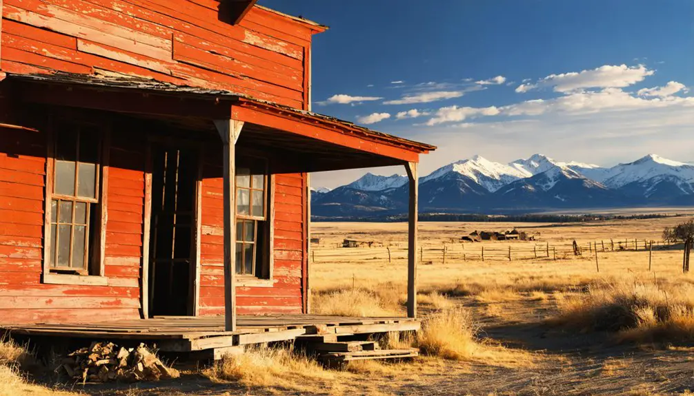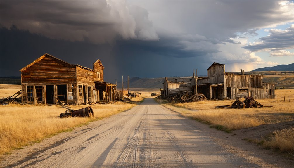
Rockvale, Montana sits 13 miles south of Laurel at the junction of Highways 212 and 310, where frontier history and open-road adventure collide. You’ll find a faded ghost town that’s not quite gone, with a weathered cemetery, the quirky Fort Rockvale Ferris wheel, and nearby rivers perfect for fishing and floating. It’s an easy detour on the way to Red Lodge or the Beartooth Highway. Stick around and you’ll uncover everything this crossroads has to offer.
Key Takeaways
- Rockvale, Montana, sits 13 miles south of Laurel at the junction of Highways 212 and 310, making it an easy road trip detour.
- The ghost town’s main attractions include a historic cemetery, Fort Rockvale’s restaurant and casino, and a distinctive landmark Ferris wheel.
- Pair Rockvale with nearby Red Lodge and the Beartooth Highway for a scenic Montana road trip combining history and mountain wilderness.
- Visit between May and October for the best weather, optimal fishing, floating, and full access to outdoor exploration opportunities.
- Rock Creek and the Clarks Fork River offer fishing, kayaking, and floating to extend your visit beyond a quick roadside stop.
What Is Rockvale, Montana: Ghost Town or Living Community?
Rockvale, Montana sits in that blurry space between ghost town and living community — and honestly, that tension is what makes it worth stopping for. Established in 1893, the town once hummed with post office activity and frontier trade.
Rockvale has never quite decided what it is — and that uncertainty is exactly what makes it worth the detour.
Today, you’ll find a bar, a casino, and scattered homes where a full settlement used to stand. Most of the historical architecture has vanished, leaving the cemetery as the clearest link to its past.
Local legends tie Rockvale to the Bozeman Trail, the 1860s gold-rush corridor that pushed travelers right through this valley. It shows up on Montana ghost-town lists, yet people still live and work here.
That contradiction gives Rockvale its character — it’s not fully dead, but it’s far from what it once was.
How Rockvale Faded From Boomtown to Ghost Town
Rockvale took root in 1893, growing up around the Rock Creek Valley as a junction point for traders, travelers, and settlers moving through southern Montana. The town’s post office, which opened in May 1894, marked its peak as a functioning community.
But when that office closed in April 1914, Rockvale’s momentum died with it. You can trace the town’s decline directly to that loss, as the reduced traffic and fading infrastructure stripped away what little remained of its boomtown identity.
Rockvale’s Settlement Origins
Tucked into the Rock Creek Valley at the confluence of Rock Creek and the Clarks Fork of the Yellowstone River, Rockvale emerged in 1893 as a natural stopping point along one of Montana’s busiest travel corridors.
Its cultural heritage runs deep, shaped by three defining forces:
- The Bozeman Trail, an 1860s gold-rush route that pushed traders, trappers, and cattle drivers through the region
- The 1894 post office establishment, signaling organized economic development and community growth
- Its junction position where Highways 212 and 310 now intersect, historically connecting travelers to Yellowstone and beyond
You’re standing where frontier movement once converged. The town’s name reflects its roots in the valley itself, grounding its identity in the land that shaped every settler who passed through.
Decline After Post Office Closure
When the post office closed on April 30, 1914, Rockvale lost the institutional anchor that had defined it as a functioning community for two decades. Mail routes shaped frontier survival, and without one, residents drifted toward larger towns offering steadier commerce and services.
Local legends suggest the decline wasn’t sudden but gradual — a slow hollowing out as economic purpose shifted elsewhere. Town legends reference a once-active settlement that railroad corridors and changing trade routes eventually bypassed.
What remained wasn’t rubble but quiet: a cemetery holding the names of early settlers, a handful of homes, and open land reclaiming the original townsite.
Today, that fading footprint is exactly what draws curious travelers like you — a place where history didn’t vanish completely but simply stepped back from view.
Where Rockvale Sits and How to Get There
Sitting about 13 miles south of Laurel and Interstate 90, Rockvale occupies a natural crossroads where Highways 212 and 310 meet near the confluence of Rock Creek and the Clarks Fork of the Yellowstone River. This junction carries cultural traditions tied to traders, trappers, and cattle drivers who once pushed through this corridor.
Local legends connect the area to the Bozeman Trail, the 1860s gold-rush route that shaped southern Montana’s frontier identity.
Local legends tie Rockvale to the Bozeman Trail, the gold-rush corridor that carved southern Montana’s frontier soul.
Getting there’s straightforward:
- Drive south on Highway 212 or 310 from Laurel
- Look for Fort Rockvale’s Ferris wheel as your landmark
- Park and explore the cemetery, remnants, and roadside stop
The roads are 2WD-friendly, making this an accessible detour on your way toward Red Lodge or Yellowstone.
What’s Left of the Original Rockvale Townsite
When you pull off at Rockvale, don’t expect a row of crumbling storefronts or weathered saloon facades — the original townsite is largely gone.
What you’ll find instead is a quiet landscape where modern homes and a roadside bar now stand where a full community once operated.
The cemetery is one of the few surviving markers of the town’s 19th-century roots, making it the most meaningful stop for anyone tracing Rockvale’s history on the ground.
Cemetery Survives The Years
Though most of the original Rockvale townsite has faded into the landscape, the cemetery remains as one of the few tangible connections to the community that once stood here. It’s a quiet place where cultural heritage meets open Montana sky. When you visit, you’ll find a stop worth slowing down for.
Here’s what the cemetery offers:
- Gravestone records that document the real people who built Rockvale from the ground up in the 1890s.
- Local legends tied to frontier settlers, cattle drivers, and Bozeman Trail travelers buried on this land.
- Unfiltered history you won’t find in a museum — just raw, weathered markers standing against time.
Walk through it, read the names, and let the silence remind you what it cost to settle the West.
Townsite Mostly Gone
What once stood as a functioning 19th-century settlement has nearly vanished from the Montana landscape. You won’t find much historical architecture left when you visit Rockvale today. The original townsite has faded into open ground, leaving little for curious eyes to examine up close.
Local legends tied to the town’s frontier days add color to what the physical landscape can no longer show you. Rockvale thrived briefly, supported by trade routes and cattle movement, then quietly shrank as the decades passed.
By the time the post office closed in 1914, the community’s momentum had already slowed considerably.
What remains sits scattered — a few homes, a roadside bar and casino, and the cemetery you just explored. The land itself tells the rest of the story.
Stop at Fort Rockvale Restaurant and Casino
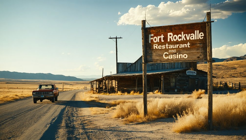
Even if you’re just passing through, Fort Rockvale Restaurant and Casino is worth a stop. This roadside landmark carries the spirit of the region’s frontier past, blending local legends with a setting that feels genuinely lived-in. The historic architecture gives the building character you won’t find at a chain rest stop.
Here’s what makes it a solid road-trip pull-off:
- Food and drinks are ready when you need a real break from the highway.
- The Ferris wheel out front marks the spot and makes it impossible to miss.
- Casino games give you a reason to linger a little longer.
It’s a working piece of Rockvale’s story — not a museum, just Montana doing what Montana does.
The Cemetery, the Casino, and What Else to See at Rockvale
Rockvale doesn’t offer much in the way of sprawling ruins or preserved storefronts, but what it does have tells a focused story. The cemetery stands as one of the most tangible historical landmarks connecting you to the town’s 19th-century roots. It’s a quiet, grounding stop that puts local legends and frontier hardship into perspective.
After walking the grounds, you can head back to Fort Rockvale for a drink or a meal, letting the contrast between past and present sink in. Beyond that, the surrounding rivers invite fishing and floating if you’ve got time to linger.
Rockvale rewards travelers who stop intentionally rather than just passing through, offering enough history, scenery, and roadside character to make the detour worth it.
Rock Creek Fishing and Floating Near the Rockvale Ghost Town Site
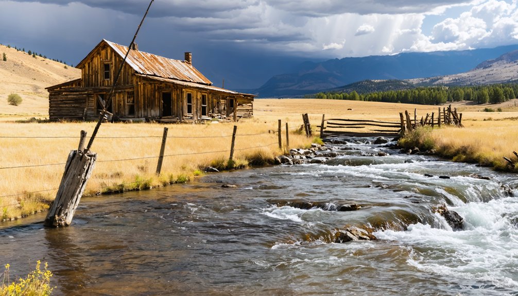
After you’ve explored the cemetery and grabbed a bite at Fort Rockvale, the rivers just outside town give you another reason to stick around. Rock Creek meets the Clarks Fork of the Yellowstone River right here, creating prime water access for anyone ready to slow down and enjoy the landscape tied to local legends of traders and cattle drivers.
Three ways to enjoy the water near Rockvale:
- Fish Rock Creek for brown and rainbow trout in stretches known among seasoned anglers.
- Float the Clarks Fork through open country with historical artifacts of frontier travel visible along the corridor.
- Kayak quieter sections of the confluence where the current stays manageable for most skill levels.
The rivers make Rockvale far more than a quick roadside stop.
Best Time of Year to Visit Rockvale
Timing your visit shapes the whole experience, whether you’re here for the rivers or the ghost-town atmosphere. Late spring through early fall gives you the best conditions for exploring the Rockvale site, fishing Rock Creek, and stopping at Fort Rockvale without battling winter road closures or icy highways.
Summer brings long days perfect for tracking down historical artifacts in the cemetery and soaking in local legends tied to the Bozeman Trail era. September and October cool things down but keep the roads open and the crowds thin — ideal if you want a quieter, more atmospheric stop.
Winter visits are possible since Highway 212 stays accessible, but outdoor exploration becomes limited. Plan for May through October if you want the full Rockvale experience.
Pair Rockvale With Red Lodge and the Beartooth Highway
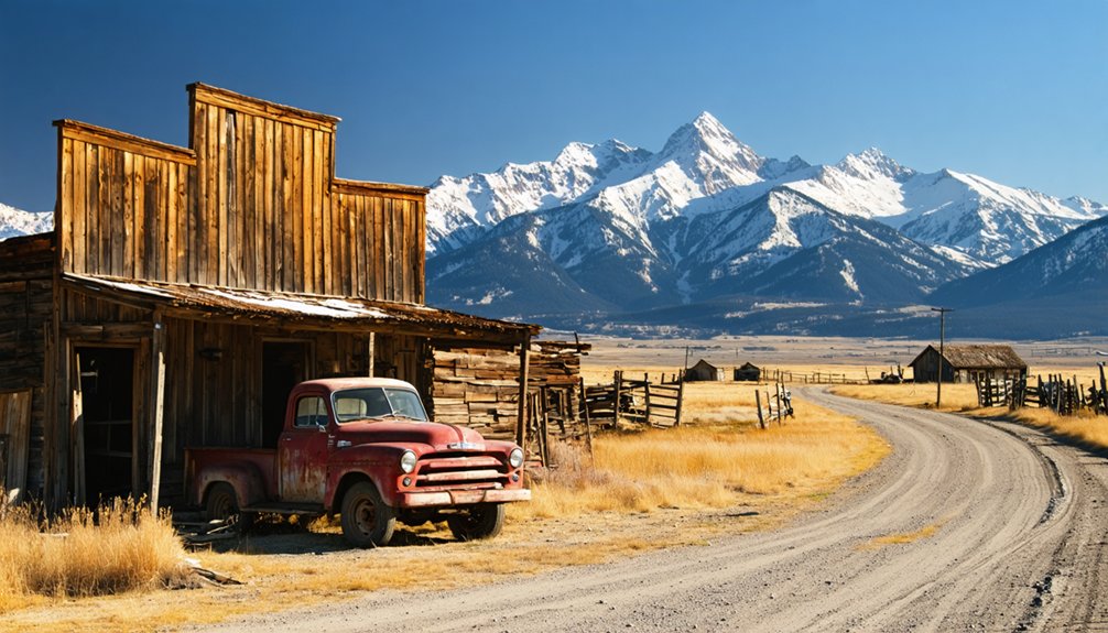
Few Montana road trips pair as naturally as a Rockvale stop with a run up the Beartooth Highway to Red Lodge. You’re already at the Highway 212 and 310 junction, which puts you minutes from one of America’s most dramatic alpine drives.
Few Montana road trips pair as naturally — Rockvale to Red Lodge, with the Beartooth Highway waiting just minutes away.
Here’s how to build the combo:
- Fuel up at Fort Rockvale — grab a meal and soak in the ghost-town atmosphere before climbing elevation.
- Explore Red Lodge — the town balances historic preservation with modern amenities, offering galleries, restaurants, and frontier architecture.
- Drive the Beartooth Highway — switchbacks, tundra plateaus, and sweeping peaks reward every mile.
This loop lets you move freely between Montana’s high desert history and its wildest mountain terrain without backtracking.
Frequently Asked Questions
Is There an Admission Fee to Visit the Rockvale Ghost Town Site?
You’ll find no admission fee to explore Rockvale’s ghost town site — it’s freely accessible. Enjoy the historical preservation remnants and visitor amenities at Fort Rockvale Restaurant and Casino without spending a dime on entry.
Are Pets Allowed at Fort Rockvale Restaurant and Casino?
The available knowledge doesn’t confirm Fort Rockvale’s pet policies or dining hours, so you’ll want to contact them directly before heading out — that way, you’re free to plan your stop without any surprises!
Is the Rockvale Cemetery Open to the Public for Visits?
With over 130 years of history, the Rockvale Cemetery welcomes you for visits. Cemetery access supports historical preservation, letting you explore one of Montana’s few surviving frontier relics and connect with the town’s rich 1890s legacy firsthand.
Are There Overnight Camping Options Near the Rockvale Town Site?
You won’t find camping spots directly at Rockvale’s town site, but nearby accommodations along the Clarks Fork and Rock Creek corridors offer excellent options, letting you explore freely before hitting the open Montana road.
Is Fort Rockvale Restaurant and Casino Open on Major Holidays?
We don’t have confirmed holiday hours for Fort Rockvale, so you’ll want to call ahead. While you’re chasing local legends and historical preservation, don’t let a closed door derail your Montana ghost-town freedom adventure!
References
- https://en.wikipedia.org/wiki/List_of_ghost_towns_in_Montana
- https://en.wikipedia.org/wiki/Rockvale
- https://www.ghosttowns.com/states/mt/rockvale.html
- https://arc.lib.montana.edu/msu-student-papers/item/326
- https://www.ghosttowns.com/states/mt/moalpha.html
- https://visityellowstonecountry.com/city/rockvale
- https://visitmt.com/stories/montana-ghost-town-tour
- https://www.facebook.com/groups/coloradodaytrips/posts/3757892941007372/
- https://data.visitmt.com/data/cities/MT/ROCKVALE
- https://www.calameo.com/books/00436993814b1481a9bc6