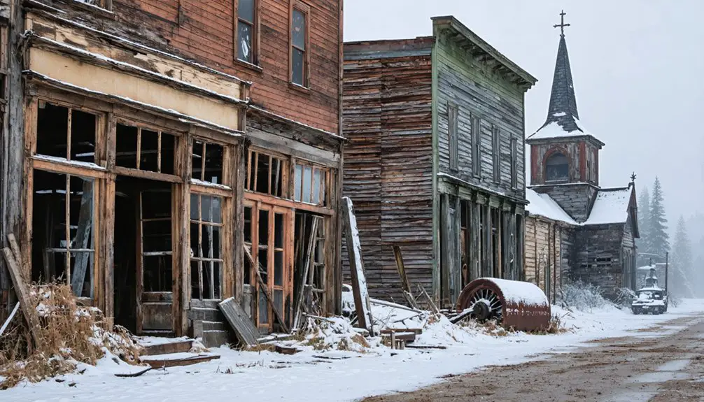
To plan your ghost town road trip to Lobelia, West Virginia, head west from Hillsboro about 4.5 miles along Route 219, then wind through Lobelia Road into Pocahontas County’s quiet highlands. Fuel up in Hillsboro, pack water, sturdy shoes, and an offline map—cell signal disappears fast out here. You’ll find authentic remnants of a logging-era settlement that boomed before 1913 and faded when the timber ran out. There’s much more to uncover about this forgotten Appalachian gem.
Key Takeaways
- Lobelia is located 4.5 miles west of Hillsboro along Route 219 in Pocahontas County, accessible via narrow, winding Lobelia Road.
- Fuel up in Hillsboro before departing, as services are extremely limited along the rural route to Lobelia.
- Pack essentials including water, snacks, sturdy shoes, a camera, offline maps, and a first aid kit for the trip.
- Pair Lobelia with nearby stops like Droop Mountain Battlefield State Park for a fuller Pocahontas County heritage day loop.
- Travel during daylight hours, expect no cell signal, and navigate using GPS or printed maps for a safe visit.
What Is Lobelia, West Virginia?
Tucked about 4.5 miles west of Hillsboro along the Route 219 corridor, Lobelia is a small unincorporated community in Pocahontas County, West Virginia, that’s earned a quiet reputation as one of the state’s ghost towns.
Named for the wildflowers found near its original settlement, the community reflects the cultural influences of a logging-era economy that once drove life in the Allegheny Highlands.
Named for local wildflowers, Lobelia carries the quiet echo of a logging-era economy that once shaped the Allegheny Highlands.
By 1975, only a church, a barn, one house, and a store still stood.
Local folklore connects Lobelia to the broader back-to-the-land movement of the 1970s, adding another layer to its already layered history.
You won’t find tourist signs or busy parking lots here.
What you’ll find instead is an honest, unfiltered slice of Appalachian mountain heritage waiting along a quiet rural road.
How Lobelia Went From Logging Boom to Ghost Town
When you look into Lobelia’s past, you’ll find that a logging railroad drove its early growth, pulling workers and commerce into this corner of Pocahontas County before 1913.
Once the timber industry pulled out, the economic engine that sustained the community disappeared with it.
Logging Railroad Shaped Lobelia
Before the quiet settled in, Lobelia was a working community built around the rhythm of a logging railroad that pushed through Pocahontas County in the years before 1913. That rail line gave the settlement its purpose, pulling timber from the surrounding Allegheny Highlands and drawing workers, commerce, and daily life to this remote mountain corridor.
You can still feel the cultural significance of that era when you study what little remains. The historical artifacts of Lobelia’s working past, a church, a barn, a house, and a store, stood as late as 1975, quiet witnesses to a community that once had real momentum.
When the timber ran out and the railroad moved on, Lobelia’s reason for existing faded with it, leaving only the landscape and its memory behind.
Decline After Logging Ended
Once the timber was gone, so was everything that held Lobelia together. The logging railroad that drove the settlement’s economy pulled out, and the people followed. Without steady work, families had little reason to stay, and the community quietly emptied out.
By 1975, you’d have found only a church, a barn, a house, and a store still standing. Those remnants carry the weight of community memories that most visitors never stop to contemplate.
Lobelia didn’t collapse overnight — it faded, the way many Appalachian mountain settlements did when extractive industries moved on.
Historical preservation efforts haven’t transformed Lobelia into a museum or monument. What you’ll find instead is something rawer: a roadside pause that shows you exactly what’s left when a boom town’s reason for existing simply disappears.
Why Lobelia Was Named After a Wildflower
When you research Lobelia’s origins, you’ll find that the community took its name directly from the lobelia wildflowers growing near the original town site. Early settlers had a tradition of rooting place names in the natural world around them, and this small mountain hamlet followed that pattern.
That floral legacy still gives Lobelia a memorable identity today, setting it apart from the many nameless crossroads that quietly faded across Pocahontas County.
Lobelia Flowers Found Nearby
How did a small West Virginia hamlet earn such a distinctive name? The answer grows right out of the landscape. Early settlers named Lobelia after the wildflower species they found thriving near the original town site. That kind of historical naming tells you something real about how mountain communities once related to their surroundings.
Lobelia flowers carry strong wildflower symbolism across Appalachian culture, often associated with open land and untamed terrain. When you stand near the site today, you’re walking ground where those same plant species likely still grow along roadsides and creek edges. The name isn’t just a curiosity — it’s a living connection between the community’s past and the natural world that shaped it.
That connection makes Lobelia worth finding on your map.
Naming A Mountain Community
Naming a mountain community after a wildflower wasn’t a random act of poetry — it was practical observation turned into permanent record. When early settlers moved through this corner of Pocahontas County, they noticed lobelia growing near the town site. That detail stuck. The name followed.
This kind of place-naming carries real cultural significance. It tells you how people read their landscape and what they chose to remember. Local legends often frame Lobelia as a modest, self-sufficient settlement shaped by its surroundings rather than imposed upon them.
You’re visiting a place where the name itself is a clue. It points back to a community that paid attention to its land. That connection between wildflower and identity gives Lobelia a resonance that outlasts the buildings that once defined it.
Wildflower Roots, Lasting Legacy
Lobelia’s name didn’t come from a mapmaker’s imagination — it came from the ground itself. Local folklore holds that the striking wildflowers growing near the original settlement inspired early residents to name their community after them. That botanical significance gives Lobelia a natural-history identity few ghost towns can claim.
When you visit, you’re walking through a place literally rooted in its landscape:
- Lobelia wildflowers historically thrived in the moist mountain terrain of Pocahontas County
- The plant carries a rich history in Appalachian herbal tradition
- Early settlers often named communities after plants that defined the local environment
- The name outlasted the logging boom, the railroad, and most of the buildings
That kind of legacy is rare — and worth the drive down Lobelia Road to experience firsthand.
What Still Stands in Lobelia Today
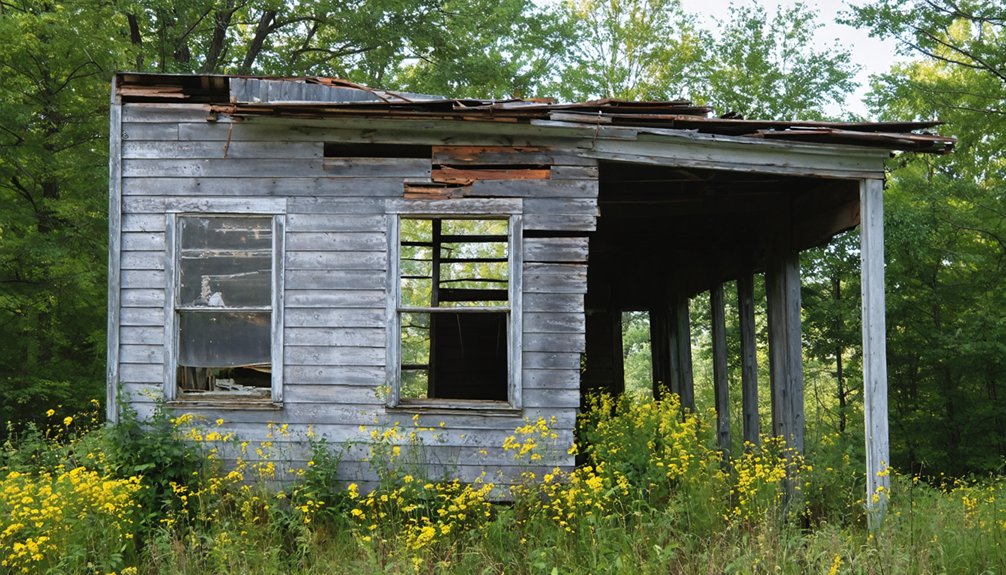
Though Lobelia has faded from its logging-era prime, a few remnants still anchor the site to its past. As of 1975, a church, a barn, one house, and a store were still standing — quiet markers of a community that once buzzed with activity. These structures carry real historical significance, connecting you directly to the logging railroad culture that shaped this hollow.
When you visit, you’re not walking into a polished attraction. You’re stepping into a roadside moment frozen in time. Local legends suggest the site drew back-to-the-land settlers in the 1970s, adding another layer to its story.
Keep your expectations grounded and your eyes sharp. Lobelia rewards the curious traveler who finds meaning in what’s left behind rather than what’s been restored.
Is Lobelia Worth the Drive?
If you’re chasing quiet history on back roads, Lobelia rewards the effort without demanding much of your time. You’ll find only a handful of remnants standing, but that sparse footprint is exactly what makes the stop feel genuinely forgotten rather than staged.
Pair it with Droop Mountain Battlefield State Park just down the road, and you’ve built a half-day heritage loop worth the miles.
Remote But Rewarding
Getting to Lobelia takes effort, but that’s exactly what makes it feel like a real discovery. You’re not following a crowd here — you’re tracing a quiet road through Pocahontas County to a place where historical preservation exists simply because time moved on without it.
Community rebirth never came, and somehow, that’s the point.
What you’ll find rewards the detour:
- A sparse but authentic settlement frozen near its logging-era footprint
- Visible remnants including a church, barn, house, and store documented as recently as 1975
- A landscape unmarked by tourist infrastructure or signage
- A genuine off-the-beaten-path experience that feels earned, not packaged
If you value freedom over convenience, Lobelia delivers exactly the kind of raw, honest road-trip moment you won’t find at a curated attraction.
What Remains Today
So what exactly are you driving toward? By 1975, Lobelia’s footprint had shrunk to just a church, a barn, one house, and a store. That’s it. These aren’t polished historical artifacts behind velvet ropes — they’re raw, quiet remnants of a logging-era community that once hummed with real activity.
Local legends tie the town’s name to lobelia wildflowers growing near the original settlement, giving this ghost town a surprisingly poetic origin story. You won’t find interpretive signs or gift shops here. What you’ll find is stillness, open mountain air, and the rare satisfaction of standing somewhere most people drive past without knowing it existed.
For travelers chasing authentic, off-grid history, that understated reality is exactly the point. Lobelia earns the detour.
Pairing Nearby Attractions
Lobelia works best as part of a larger Pocahontas County loop, and the good news is that the surrounding area gives you plenty of reasons to extend the drive.
Historical preservation and community memory run deep across this region, making every stop feel connected to a larger story.
- Droop Mountain Battlefield State Park — walk Civil War ground just miles from Lobelia
- Hillsboro — stock up on fuel and supplies before heading down Lobelia Road
- Route 219 scenic corridor — one of West Virginia’s most rewarding mountain drives
- Pocahontas County backroads — discover forgotten hamlets that share Lobelia’s quiet, fading character
String these stops together and you’ve built a full day worth driving.
Lobelia won’t take long, but the county around it absolutely will.
How to Get to Lobelia From Route 219
Once you’re on US Route 219 near Hillsboro, reaching Lobelia is straightforward — turn onto Lobelia Road and head west for about 4.5 miles. Hillsboro makes a smart final stop for fuel and supplies before you head out, since services disappear quickly once you leave the Route 219 corridor.
As you drive Lobelia Road, you’ll notice the landscape shifting into dense Allegheny Highland terrain, with local flora lining the route — a fitting preview given the town’s name originates from lobelia wildflowers once found near the site.
Don’t expect historical markers or tourist signage pointing the way. Lobelia isn’t built for crowds. Travel during daylight, check road conditions beforehand, and carry a GPS or printed map. The road is rural, narrow in stretches, and rewards travelers who come prepared.
What the Roads Actually Look Like Getting to Lobelia
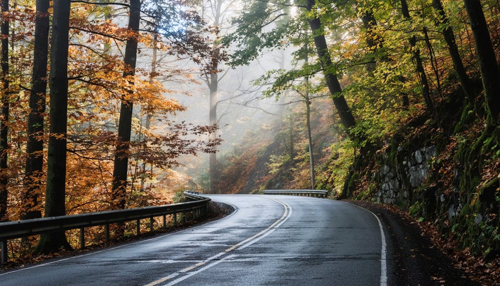
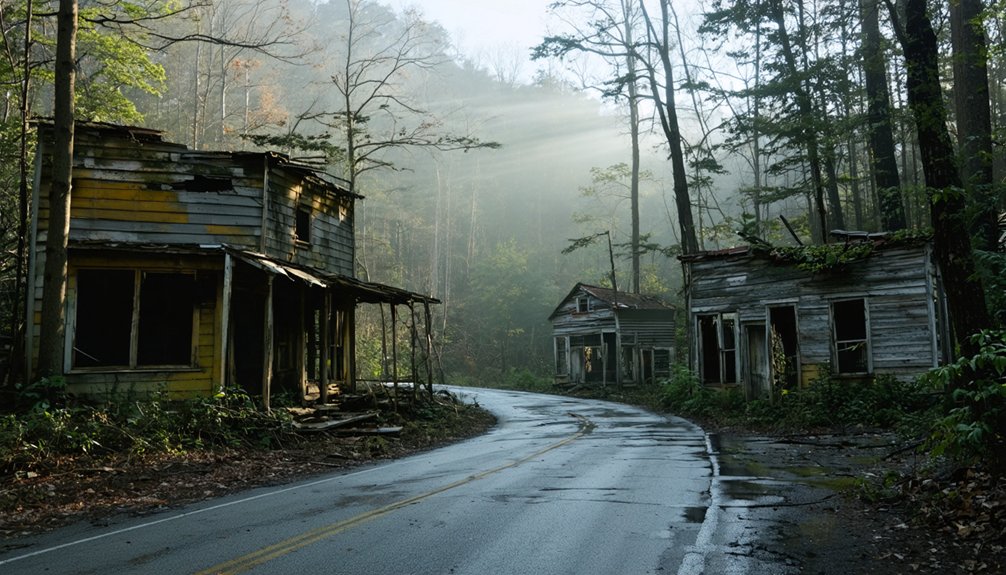
Knowing the turn exists is one thing — knowing what you’re actually driving into is another. Lobelia Road runs narrow and rural, the kind of pavement that rewards patience. The name itself carries wildflower symbolism — lobelia blooms once carpeted this stretch before logging cleared the land. That history feels present when you’re winding through quiet mountain terrain.
Follow these road condition tips before you roll out:
- Expect uneven pavement and occasional pothole repairs on Lobelia Road
- US 219 runs smoother but still demands attention near sharp curves
- No signage marks Lobelia as a destination — GPS or a paper map is essential
- Daylight travel makes narrow shoulders and site remnants far easier to navigate
Go prepared, and the drive becomes part of the experience.
What to Pack Before Driving to Lobelia
Because Lobelia offers no services, no visitor center, and no guaranteed cell signal, what you load into the car before leaving matters more than it would for a typical day trip. Pack water, snacks, and a printed or downloaded offline map since Route 219 and Lobelia Road won’t forgive poor preparation.
Bring a camera to capture the sparse remaining structures that reflect the area’s historical significance as a logging-era settlement. A wildflower identification guide adds real value here — Lobelia’s name came directly from the local flora growing near the original town site, and that connection is worth exploring on foot.
Wear sturdy shoes, carry a first aid kit, and top off your gas tank in Hillsboro before you turn off the main road.
Best Nearby Stops to Pair With Lobelia
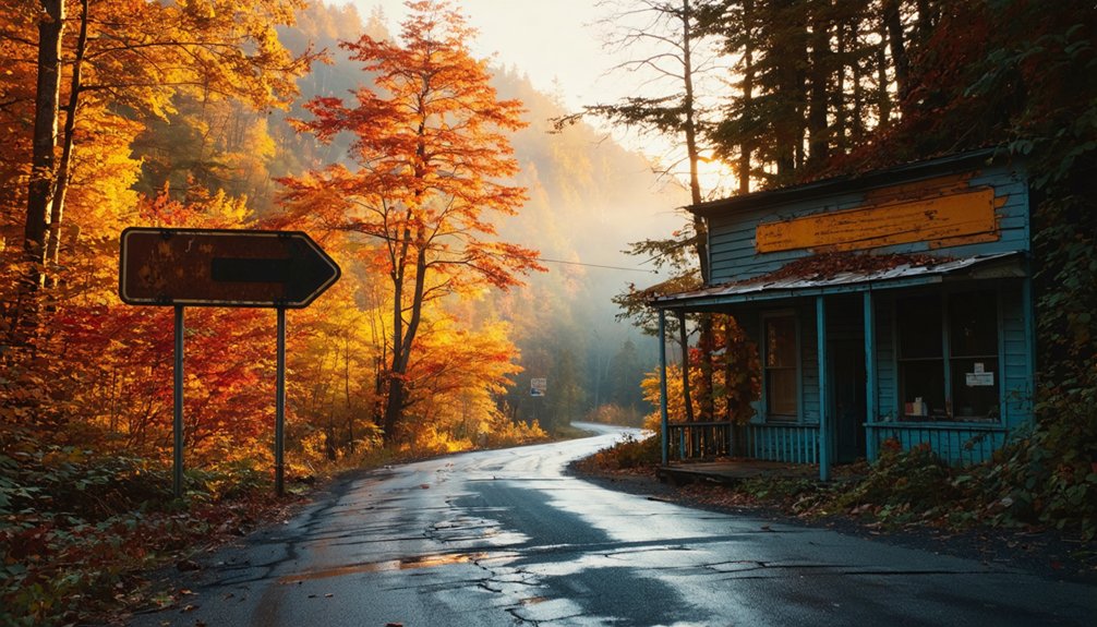
With your car packed and your tank full from Hillsboro, you’re already positioned to make the most of Pocahontas County‘s wider circuit of stops. The region rewards curious travelers who value historical preservation and local flora equally.
- Droop Mountain Battlefield State Park – Walk Civil War-era ground just a short drive away.
- Hillsboro – Pearl S. Buck’s birthplace offers a surprising literary detour.
- Cranberry Glades Botanical Area – Rare local flora thrives in this open bog ecosystem.
- Highland Scenic Highway – A sweeping mountain drive connecting natural landmarks across the county.
Each stop layers something distinct onto your Lobelia visit, turning a single ghost town detour into a full-day route. Pocahontas County moves at its own pace, and that’s exactly the point.
Other Pocahontas County Ghost Towns Worth Adding to Your Loop
Pocahontas County holds more ghost towns than most travelers realize, and Lobelia fits naturally into a longer loop that traces the county’s logging-era past across several quiet, half-forgotten sites. You’ll find similar remnants scattered along mountain corridors where rail lines once moved timber out of the highlands.
Many of these spots carry rich local folklore about the families and industries that shaped them before the timber economy collapsed. As you drive between them, you’ll pass scenic overlooks that reward a short stop and frame just how remote and rugged this landscape remains.
Research a few target sites before you leave, keep your map handy, and treat the gaps between stops as part of the experience. The county’s rural roads connect these places in ways that a single destination visit never could.
Frequently Asked Questions
Is There a Fee to Visit or Park Near Lobelia?
You won’t pay any fee to visit or park near Lobelia. It’s a free, open roadside stop where you can explore Lobelia history and appreciate ghost town preservation without any barriers blocking your adventure.
Can You Camp Overnight Near the Lobelia Community?
No luxury campground amenities here! You’ll find primitive camping options nearby in Pocahontas County’s wild terrain. Embrace wildlife encounters and sleep under mountain stars, but you’ll want to confirm current access points before pitching your tent.
Is Lobelia Road Accessible for RVS or Large Vehicles?
You’ll want to avoid Lobelia Road with RVs or large vehicles — RV accessibility is limited on this narrow mountain route. Large vehicle restrictions apply due to winding terrain, so stick to smaller, nimble rides for freedom-filled exploring.
Are There Any Guided Tours Available in or Around Lobelia?
You won’t find formal guided tours whispering through Lobelia’s quiet historical landmarks, but nearby Droop Mountain Battlefield offers ranger-led experiences. Local legends here are yours to freely discover, making self-guided exploration your most liberating adventure.
What Is the Best Time of Year to Visit Lobelia?
You’ll find Lobelia most rewarding during peak visiting times in late spring through early fall, when seasonal weather stays mild and daylight stretches long, letting you freely explore its quiet, historic remnants without battling harsh mountain conditions.
References
- https://en.wikipedia.org/wiki/Lobelia
- https://en.wikipedia.org/wiki/List_of_ghost_towns_in_West_Virginia
- https://www.reddit.com/r/WestVirginia/comments/636rd8/is_there_any_truth_to_the_urban_legends_about/
- https://wvhistoryonview.org/catalog/015864
- https://kids.kiddle.co/List_of_ghost_towns_in_West_Virginia
- https://en.wikipedia.org/wiki/Mill_Run
- https://fr.abcdef.wiki/wiki/Lobelia
- https://apps.sos.wv.gov/business/corporations/organization.aspx?org=190176
- https://kids.kiddle.co/Lobelia
- https://longreads.com/2020/01/21/in-pocahontas-county-deep-divisions-and-a-gruesome-discovery/