Planning a road trip to Māhukona means heading north from Kona on Highway 270 along the Kohala Coast for about 35 miles until you spot the small gravel parking lot above the bay. You’ll find no tourist amenities here—just rusted harbor ruins, submerged industrial relics, and 179 ancient archaeological sites spread across 642 acres of raw lava coastline. Arrive early, pack water and snorkeling gear, and know that this ghost town carries over 700 years of Hawaiian history worth uncovering.
Key Takeaways
- From Kona, take Highway 270 north along the Kohala Coast for approximately 35 miles; arrive early due to limited gravel parking.
- Māhukona was Hawaii’s earliest international port, now featuring 179 archaeological sites, harbor ruins, and over 700 years of history.
- Bring water, sunscreen, sturdy footwear, and snorkeling gear; no tourist amenities exist at this remote coastal site.
- Download offline maps before visiting, as cell service is unreliable and signage throughout the area is minimal.
- Stay on designated pathways, avoid touching artifacts, and respect burial grounds, heiau, and other actively protected cultural sites.
What Makes Māhukona a Ghost Town Worth Visiting?
Māhukona isn’t your typical ghost town — there’s no dusty main street or crumbling saloon, but what it offers is far more layered. You’re stepping into a place where Hawaii’s earliest international ports once hummed with sugar, cattle, and rail commerce. Its historical significance runs deep — railroad operations, plantation shipping, and a harbor that shaped Kohala’s economy for decades all unfolded here.
What makes it genuinely compelling is the cultural preservation happening right now. Over 179 documented archaeological sites, ancient heiau, burial grounds, and canoe landings still mark this landscape. The Hawaii Land Trust now stewards 642 coastal acres to protect what centuries built.
You won’t find tourist attractions here — you’ll find real history, raw coastline, and a place that rewards curiosity over convenience.
How to Get to Māhukona on Hawaiʻi Island
If you’re starting from Kona, take Highway 270 north along the Kohala Coast until you spot the Māhukona Beach Park sign, which marks your turn toward the bay.
The drive runs roughly 35 miles and treats you to sweeping ocean views before depositing you at a small parking area just steps from the old harbor remnants.
You’ll find the lot easy to navigate, though you should arrive early since space is limited and the remote setting means no nearby services if you need to backtrack.
Starting From Kona
Starting your drive from Kona, you’ll head north on Queen Kaʻahumanu Highway (Route 19) before connecting to Akoni Pule Highway (Route 270), which traces the northwest coastline directly to Māhukona—a journey of roughly 45 miles that takes about an hour under normal conditions.
The drive itself rewards you before you even arrive. Lava fields give way to sweeping ocean views, and the road opens up in a way that feels genuinely freeing.
As you near Māhukona, the landscape shifts toward the rugged Kohala coast, rich with local legends tied to ancient settlements and voyaging culture. Archaeological insights emerge even along the roadside, where historic trails once connected communities across six ahupuaʻa.
Bring water, fuel up in Kona, and download offline maps—cell service gets spotty the farther north you travel.
Route 270 Navigation
Once you’ve cleared Kona, Route 270—Akoni Pule Highway—becomes your primary guide, hugging the northwest coastline all the way to Māhukona. The drive rewards you with sweeping ocean views and a quiet sense of discovery. Watch for these navigation essentials:
- Merge onto Route 270 heading north after passing through Kawaihae — it’s a clear, well-marked progression.
- Note historical landmarks along the roadside, signaling you’re entering deeply storied territory.
- Look for the Māhukona Beach Park turnoff on your left — easy to miss if you’re moving fast.
- Respect gated areas established for cultural preservation — some coastal roads have been restricted since 1989.
The highway itself feels open and unhurried, matching the spirit of anyone chasing forgotten history on their own terms.
Parking And Bay Access
Akoni Pule Highway delivers you right to the edge of Māhukona’s story — but parking is where the real approach begins. You’ll find local parking at Māhukona Beach County Park, a small gravel lot sitting just above the bay. It’s free, open, and fits a modest number of vehicles, so arriving early gives you the best shot at a spot.
From the lot, bay access is straightforward — a short walk leads you down to the old harbor landing. The concrete ramp and iron remnants speak to the port’s working past.
You’re stepping into ruins, not a resort, so expect raw shoreline rather than manicured beach. Bring everything you need, because no services wait here — just open water, salt air, and honest history.
What You’ll Actually See at Māhukona Harbor
When you arrive at Māhukona Harbor, the remnants of a once-busy industrial port greet you at every turn. Historical artifacts and crumbling infrastructure tell the story of Hawaiʻi’s earliest international shipping hub.
Beneath the surface, marine life thrives among sunken relics and submerged structures worth exploring.
Here’s what you’ll encounter:
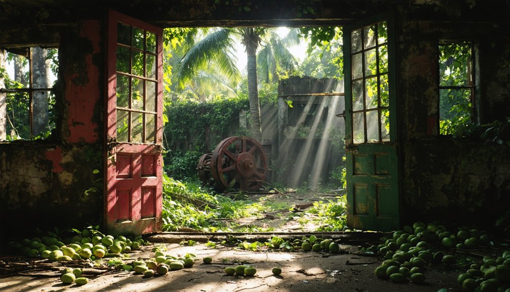
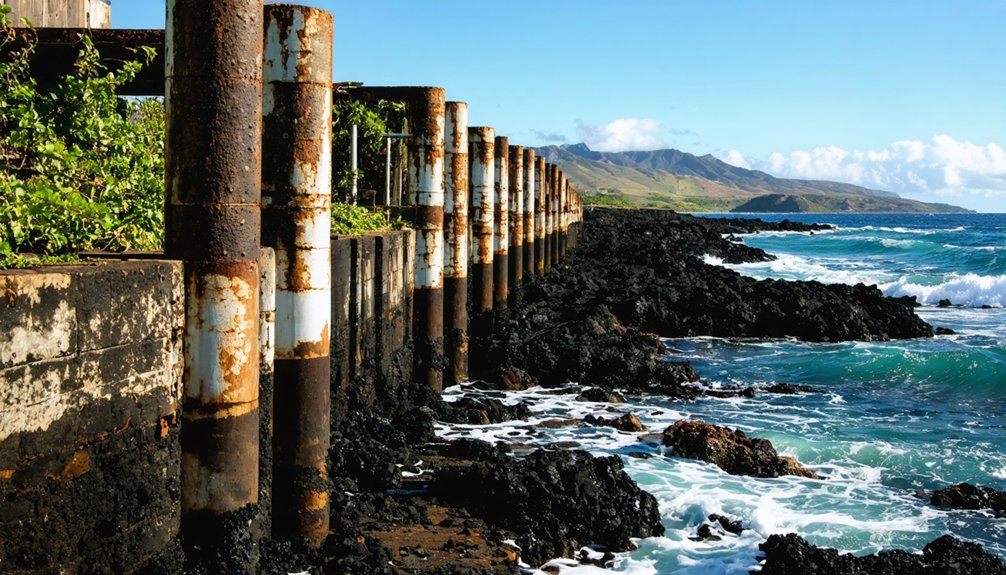
- Harbor ruins – rusted equipment, collapsed loading docks, and weathered foundations from the railroad era
- Sunken debris – submerged machinery and ship remnants visible through the bay’s clear water
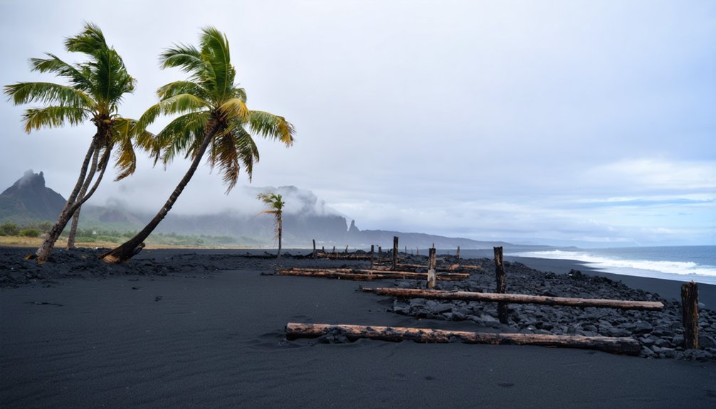
- Shoreline scenery – dramatic lava coastline framing the quiet, sheltered bay
- Marine life – fish, coral, and sea creatures inhabiting the underwater wreckage
Come prepared with snorkel gear, water, and sun protection—this remote site rewards curiosity with raw, unfiltered Hawaiian history.
What to Know Before You Go to Māhukona
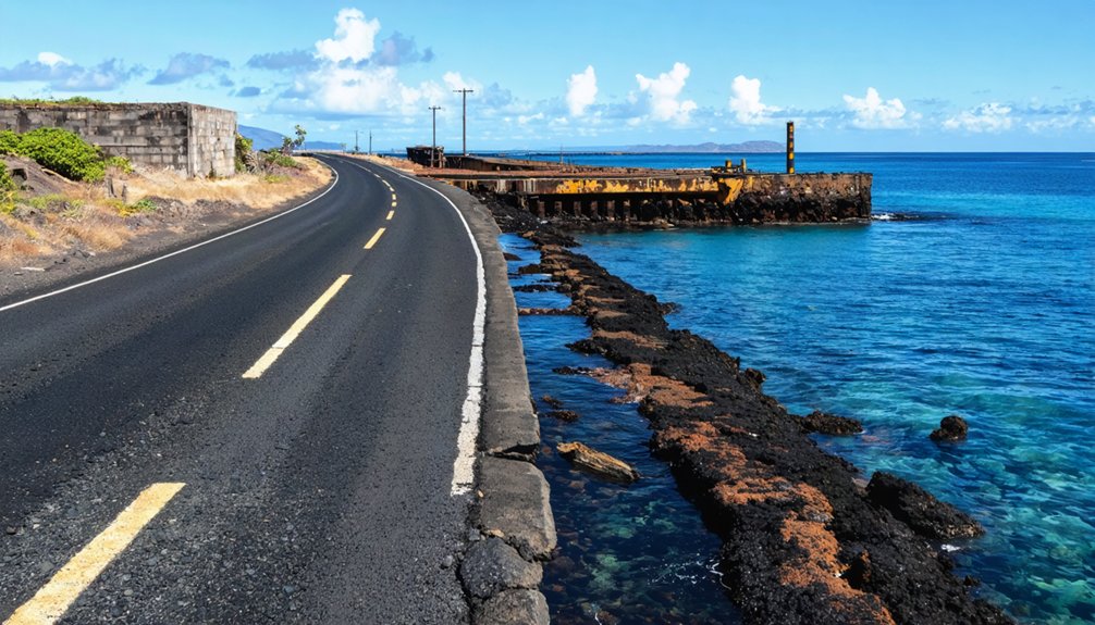
Reaching Māhukona requires some preparation, since this remote stretch of Hawaiʻi Island’s northwest coast sits far from urban conveniences. Download offline maps before you leave, because cell service gets unreliable along Akoni Pule Highway. Pack enough water, sunscreen, and sturdy footwear — the rocky shoreline and coastal trails demand both.
Gated road access has restricted parts of the area since 1989, so check current conditions before arriving. If you’re diving or snorkeling, stay alert around marine debris and sunken ships beneath the surface.
Come curious. Local legends connect this coastline to centuries of Hawaiian life, and archaeological insights surface around every corner — 179 documented sites wait quietly across this land. Respecting that history isn’t optional; it’s the whole point of being here.
What Can You Do in Māhukona Bay?
Once you reach Māhukona Bay, you’ll find the calm, clear waters draw snorkelers and divers enthusiastic to explore the submerged remnants of the former harbor. Sunken ships and scattered marine debris lie offshore, making the underwater landscape fascinating but worth approaching with caution.
Above the waterline, the old harbor ruins offer a vivid glimpse into the town’s industrial past as a once-thriving railroad port.
Diving And Snorkeling
Beneath the calm surface of Māhukona Bay lies one of the island’s most rewarding dive and snorkel destinations. The protected waters reveal a world shaped by both nature and history, offering experiences you won’t find at crowded resort beaches.
Explore these highlights underwater:
- Sunken ships – Remnants of the former harbor rest on the seafloor, drawing divers enthusiastic to investigate historical artifacts up close.
- Marine life – Reef fish, sea turtles, and vibrant coral thrive in the bay’s clear, calm conditions.
- Harbor ruins – Submerged infrastructure from the old port adds eerie, fascinating texture to every dive.
- Marine debris fields – Navigate carefully; scattered wreckage rewards curious explorers while demanding situational awareness.
Bring your own gear, since no rental shops operate nearby.
Exploring Harbor Ruins
Above the waterline, Māhukona’s harbor ruins tell a quieter story—crumbling infrastructure, rusted remnants, and the skeletal outline of what was once one of Hawaiʻi’s first international ports.
You’ll find historical artifacts embedded in the landscape, from railroad-era ironwork to the weathered bones of loading structures that once handled sugar, cattle, and cargo.
Walking the area connects you to at least 179 documented archaeological sites, including ancient trails, canoe landings, and shrines that predate the plantation era by centuries.
You’re fundamentally moving through layers of Hawaiian history in a single coastal stretch.
Bring sturdy footwear—the terrain is uneven and sun exposure is real.
Offline maps help since signage is minimal.
Treat every structure and artifact with care; this place carries weight beyond its ruins.
How Recent Conservation Affects Your Visit to Māhukona
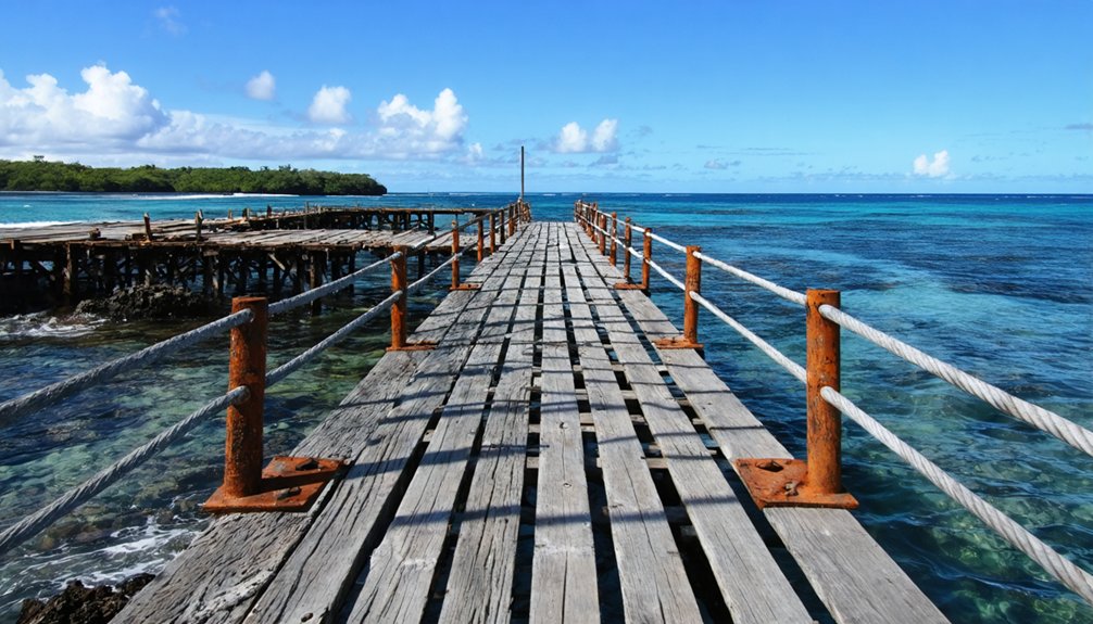
When Hawaiʻi Land Trust protected a 642-acre coastal refuge at Māhukona in 2023, it changed how visitors can experience the area. Wildlife conservation and cultural preservation now shape access and exploration. Here’s what you need to know before you go:
- Gated access has been in place since 1989, so coastal trails and roads require planning ahead.
- 179 documented archaeological sites demand respectful navigation — stay on marked paths.
- 23 burial sites and four heiau are actively protected; photography and touching are discouraged.
- Stewardship programs offer community-focused access, connecting visitors to the site’s 700-year cultural history.
You’re visiting a living heritage landscape, not just a ghost town. Come prepared to engage thoughtfully with what Māhukona’s protectors are actively working to preserve.
Before You Go: Safety at Abandoned Sites
Ghost town structures have stood without maintenance for decades. Floors, stairs and roof timbers fail without warning, and a building that looks solid from outside may not hold your weight. Stay out of standing structures unless the site is actively maintained and open to visitors.
Mine workings are the more serious hazard. Vertical shafts can be hundreds of feet deep, are often unfenced, and may be hidden by brush or capped with rotted boards. Never enter an adit, tunnel or shaft: abandoned workings can hold oxygen-poor or toxic air that gives no warning before you lose consciousness.
Enclosed spaces with rodent droppings carry a risk of hantavirus, which is contracted by breathing contaminated dust. Do not sweep or stir up dust inside old cabins and outbuildings.
Cell coverage at these sites is usually poor or absent. Tell someone your route and expected return time, and carry more water than you think you need.
Frequently Asked Questions
Is MāHukona Connected to Any Submerged Volcanic Formations Offshore?
Yes, you’ll find Māhukona linked to an extinct submerged volcano sharing its name. Offshore volcanic activity shaped these submerged formations beneath the waves, connecting the land you’re exploring to ancient geological forces hidden underwater.
Which Six AhupuaʻA Land Divisions Does the MāHukona Refuge Span?
You’re exploring six ancient land divisions rich in cultural significance: Kapaʻa Nui, Kou, Kamano, Māhukona, Hihiu, and Kaoma. These ahupuaʻa shape the 642-acre refuge, connecting you to centuries of Hawaiian heritage.
How Many Burial Sites Have Been Documented Within the MāHukona Area?
Like echoes frozen in stone, 23 burial sites await your discovery at Māhukona. You’ll find burial site preservation and archaeological discoveries woven across this sacred land, honoring those who’ve shaped Hawaiʻi’s soul for centuries.
When Did King KalāKaua Approve HawaiʻI’s First Railroad System?
King Kalākaua approved Hawaiʻi’s first railroad system in 1878, a milestone of historical significance you’ll appreciate. This bold move shaped cultural preservation efforts still felt today, connecting communities and fueling the freedom of movement across the islands.
How Long Have the Coastal Trails and Road Access Been Gated?
Since 1989, you’ve been locked out — gates blocking coastal trails for historical preservation and environmental impact control. That’s over three decades of restricted access, quietly guarding Māhukona’s ancient secrets behind barriers most freedom-seekers never expect.
References
- https://en.wikipedia.org/wiki/Māhukona
- https://en.wikipedia.org/wiki/List_of_ghost_towns_in_Hawaii
- https://en.wikipedia.org/wiki/Category:Ghost_towns_in_Hawaii
- https://ghost-towns.close-to-me.com/states/hawaii/
- https://www.youtube.com/watch?v=jpyRCKkN1dc
- https://kids.kiddle.co/List_of_ghost_towns_in_Hawaii
- https://records.hawaiicounty.gov/WebLink/1/edoc/106165/INDIVIDUAL COMMENT EMAIL – 129023.pdf
- https://www.hilt.org/mahukona
- https://www.youtube.com/watch?v=KwCNU6fp7mY