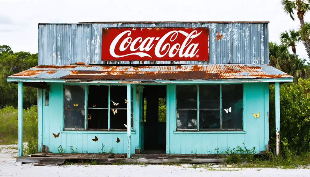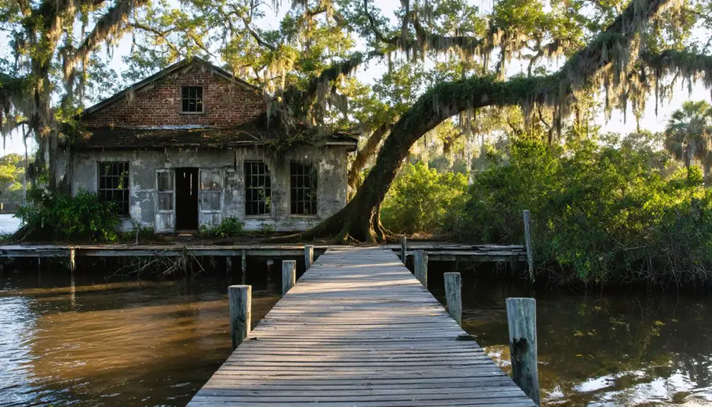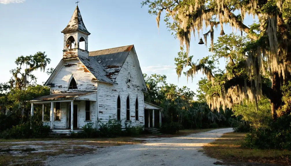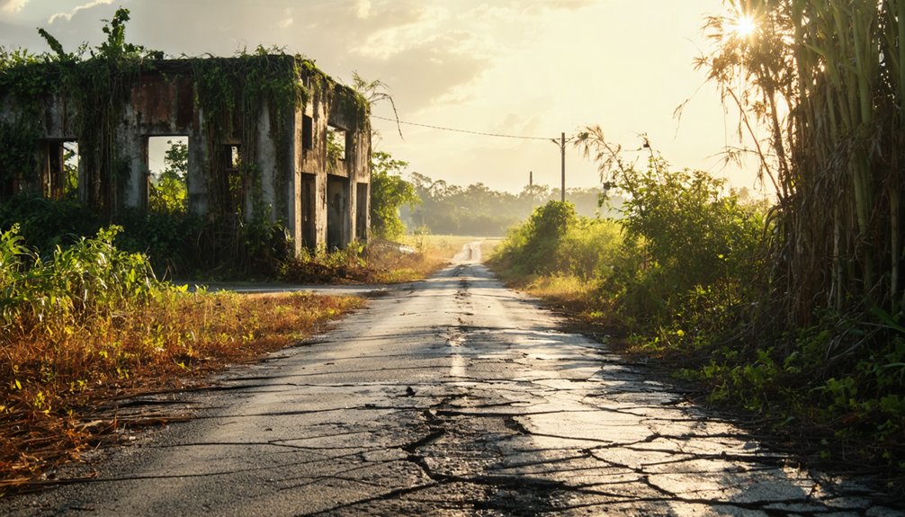
Planning a ghost town road trip to Okeelanta, Florida means heading four miles south of South Bay on U.S. Route 27, where a once-thriving 1913 settlement now lies swallowed by wetlands and sugarcane fields. You won’t find ruins or historic markers — just silence, subtle drainage ditches, and nature reclaiming everything. Bring waterproof boots, insect repellent, and plenty of water before you go. There’s far more to this haunting landscape than meets the eye.
Key Takeaways
- Okeelanta is located four miles south of South Bay on U.S. Route 27, making it an accessible stop on a Florida road trip.
- Expect no historic ruins or markers at the site, only overgrown wetlands, sugarcane fields, and a nearby sugar facility sign.
- Wear waterproof boots, insect repellent, and protective clothing, as the area contains alligators, snakes, and humid wetland terrain.
- Combine Okeelanta with nearby ghost towns like Flamingo, Ellaville, and Brewster for a complete Florida abandoned-town road trip.
- Travel during daylight hours and carry water, a first aid kit, offline maps, and a weather radio for safety.
What Was Okeelanta, Florida: and Why Does It Matter?
Deep in the Florida Everglades, a man once tried to carve a thriving community out of one of the most unforgiving landscapes in America. In October 1913, Thomas Elmer Will established Okeelanta, a portmanteau blending Lake Okeechobee and the Atlantic Ocean, with bold dreams of transforming wetlands into productive farmland.
Within a few years, it became the area’s largest community. But nature had other plans.
Understanding Okeelanta’s historical significance means recognizing what happens when ambition collides with a landscape that refuses to be tamed. For travelers drawn to cultural preservation and forgotten stories, this ghost town represents something powerful — the raw, unfiltered reality of human struggle against floods, hurricanes, and isolation.
It’s a chapter of Florida history worth seeking out firsthand.
How Did the 1928 Hurricane Erase Okeelanta From the Map?
By 1922, Okeelanta was already on its knees. A devastating flood forced founder Thomas Will to abandon the land he’d fought so hard to cultivate.
By 1925, visitors described the town as soggy and deserted. Then came the hurricane of 1928, delivering the final blow and completing the town destruction of everything residents had built.
The historical impact was absolute — no survivors, no rebuilding, no future:
- Families lost their homes overnight
- Crops that fed the community vanished completely
- Thomas Will attempted recovery but couldn’t secure funding
- The Okeelanta Corporation declared bankruptcy shortly after
- An entire dream of freedom from poverty disappeared beneath floodwaters
Nature won. What pioneers sacrificed years building, one storm erased in hours. Okeelanta never recovered.
How to Get to the Okeelanta Site Today
What the hurricane erased, the landscape has largely reclaimed — but you can still find where Okeelanta once stood. Head to Palm Beach County and take U.S. Route 27 roughly four miles south of South Bay. County Road 827 will guide you close to the former town site, where environmental impacts have transformed fertile dreams into sugarcane fields and wetlands.
Don’t expect historic ruins or formal historical preservation markers — the site’s only visible landmark is a sign for a nearby sugar processing facility. The road itself offers a subtle tribute, though: U.S. Route 27 carries the designation Thomas E. Will Memorial Highway from South Bay to Miami. Roll down your windows, read the sign, and let the surrounding landscape tell you everything the maps no longer can.
What You’ll Actually See When You Arrive at Okeelanta
Once you pull off U.S. Route 27, don’t expect crumbling buildings or historical artifacts marking the spot. Okeelanta’s remains are almost invisible, swallowed by sugarcane fields and Florida’s relentless vegetation. What greets you is mostly silence and a sign for a nearby sugar processing facility.
Yet standing there, local legends feel real:
- The faint outline of old drainage ditches cutting through overgrowth
- Flat, endless fields where families once farmed potatoes and beans
- A horizon unchanged from what 1920 settlers watched anxiously during storm season
- The heavy, humid air that made survival here a daily fight
- An eerie stillness reminding you nature always wins
You’re standing on someone’s broken dream. That invisible weight is Okeelanta’s most powerful historical artifact.
Is It Safe to Visit Okeelanta?
Visiting Okeelanta is straightforward and low-risk, but you’ll want to prepare for the environment rather than the location itself. You’re entering wetland territory, so wildlife encounters are a genuine consideration. Alligators, snakes, and biting insects patrol this landscape without apology.
Wear closed-toe shoes, use insect repellent, and stay aware of your surroundings near water.
The area sits along U.S. Route 27, making it publicly accessible with no trespassing concerns at the roadside marker. Local legends about the hurricane’s devastation and the town’s eerie decline add atmosphere, but there’s nothing threatening beyond nature itself.
Avoid wandering into private agricultural land surrounding the sugar processing facility. Respect posted boundaries, travel during daylight hours, and you’ll have a safe, memorable stop on your ghost town road trip.
What to Pack Before Driving Out to Okeelanta
Before you head out to this remote Palm Beach County wetland, you’ll want to pack smart because the nearest help is miles away. Bring waterproof boots, insect repellent, and a wide-brimmed hat to handle the soggy terrain and relentless mosquitoes that have plagued this area since the town’s earliest days.
You should also load up on navigation tools, a paper map, and emergency supplies like water, a first-aid kit, and a fully charged portable battery since cell service along U.S. Route 27 can be unreliable.
Essential Gear For Wetlands
Whether you’re making the drive down U.S. Route 27 or cutting through County Road 827, the wetlands surrounding Okeelanta demand respect. You’re stepping into raw, unpredictable terrain where wildlife encounters happen without warning and historical artifacts may lie buried beneath muck and overgrowth.
Pack smart before you go:
- Waterproof boots — soggy ground swallows regular footwear instantly
- Insect repellent — mosquitoes here aren’t just annoying; they’re relentless
- Wildlife first aid kit — snake and gator territory requires preparation
- Dry bags — protect cameras and documents from sudden flooding
- Compass or offline GPS — cell service disappears fast in isolated wetlands
Freedom means exploring on your own terms, but surviving the Everglades means arriving prepared for whatever the land throws at you.
Driving out to Okeelanta means cutting through stretches of isolated wetlands where cell service drops without warning and the nearest help sits miles away. Download offline maps before you leave, because you can’t rely on a signal along U.S. Route 27 near South Bay. Pack a physical map as a backup.
Your emergency kit should include water, a first aid kit, jumper cables, and a charged power bank. Urban legends about travelers stranded in the Florida wetlands aren’t entirely fiction — isolation here is real.
Respect ongoing preservation efforts by staying on marked roads and leaving nothing behind. Carry a flashlight, extra food, and a weather radio. The Everglades doesn’t forgive careless planning, but it rewards those who arrive prepared.
When Is the Best Time of Year to Visit Okeelanta?
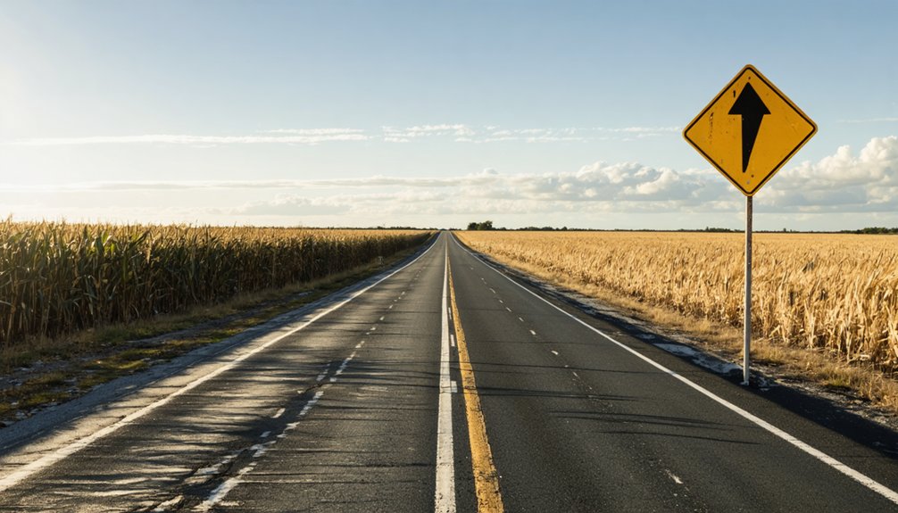
Since Okeelanta sits deep in South Florida’s wetlands, timing your visit makes a real difference in what you’ll experience. The dry season, running from November through April, offers your best shot at exploring without drowning in humidity or battling relentless mosquitoes. You’ll move freely, breathe easier, and actually absorb the weight of historical myths surrounding this forgotten place.
Consider these seasonal realities before you go:
- November brings cooler air and manageable bug populations
- December through February offers the clearest skies and driest ground
- March and April balance warmth with accessibility
- May signals the start of brutal humidity and storm threats
- Summer months flood roads and erase any preservation efforts protecting the remaining markers
Choose wisely — Okeelanta rewards prepared travelers, not impulsive ones.
Where to Stop, Eat, and Stay Near South Bay
South Bay sits about 4 miles north of the Okeelanta site on U.S. Route 27, making it your natural base camp. The town is small but functional, offering gas stations and a handful of diners serving hearty, no-frills meals perfect for road-weary travelers. Grab a bite at local spots along the main drag before heading south toward the ghost town marker.
You’ll find budget-friendly lodging options in nearby Clewiston, just 20 miles west. Between stops, keep your eyes open for local wildlife along the lake’s southern rim — herons, alligators, and snook are common sights.
The Lake Okeechobee Scenic Trail also connects several historic landmarks worth exploring. Pack light, stay flexible, and let the open road guide your experience through this forgotten stretch of Florida.
Which Other Ghost Towns Can You Visit Near Okeelanta?
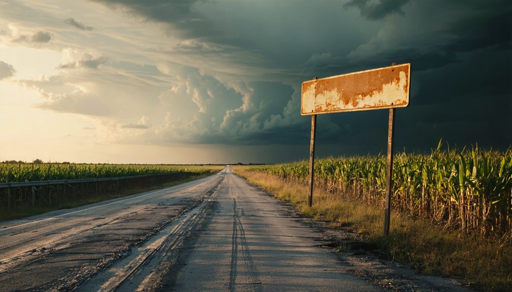
If Okeelanta’s haunted history has you hungry for more, Florida’s ghost town trail won’t disappoint. You can add Flamingo, Ellaville, and Brewster to your road trip itinerary, each carrying its own story of ambition crushed by nature’s indifference.
Mapping these stops together lets you cover Florida’s forgotten past efficiently while keeping your drive through South Bay and U.S. Route 27 as your central launching point.
Nearby Ghost Towns Overview
Okeelanta isn’t the only ghost town worth tracking down in Florida’s wild interior. The region holds several forgotten communities, each carrying its own historical significance and shaped by devastating environmental impacts. These places remind you that nature ultimately wins.
- Flamingo – a remote fishing village swallowed by hurricanes and isolation at Florida’s southern tip
- Ellaville – a timber town silenced when the trees ran out and industry moved on
- Brewster – a phosphate mining community abandoned once the earth gave up its resources
- Everglades City – battered repeatedly by storms, leaving haunting remnants behind
- Chokoloskee – a shell-mound settlement where early pioneers fought relentless floods and wilderness
Each stop deepens your understanding of Florida’s unforgiving landscape and the bold people who dared challenge it.
Planning Your Multi-Stop Visit
Knowing which ghost towns sit nearby makes planning your Florida road trip far more rewarding than chasing them down one at a time. Bundle Okeelanta with Flamingo, Ellaville, and Brewster to build a route that honors Florida’s spirit of historical preservation across a single journey.
Each stop carries its own brand of community nostalgia — crumbling foundations, overgrown lots, and faded signs telling stories of settlers who refused to quit until nature forced their hand. Map your stops along U.S. Route 27 and surrounding county roads, keeping fuel and daylight in mind since these sites offer little infrastructure.
You’re trading comfort for discovery, and that trade pays off when you’re standing where entire communities once thrived, now swallowed completely by Florida’s relentless landscape.
Frequently Asked Questions
Who Was Thomas Elmer Will Before He Founded Okeelanta?
The knowledge doesn’t reveal ghost town legends about Will’s past life, but you’ll find abandoned structures marking his bold vision — he founded Okeelanta in 1913, transforming from dreamer to pioneer, battling Florida’s wild Everglades frontier.
What Does the Name Okeelanta Actually Mean?
You’ll love knowing Okeelanta’s a portmanteau blending Lake Okeechobee and the Atlantic Ocean. This clever fusion captures the town’s geographic soul, connecting local legends, historic landmarks, and the wild freedom of Florida’s untamed Everglades frontier.
How Many People Lived in Okeelanta at Its Peak?
At its peak, you’d have found 200 residents calling Okeelanta home by 1920. Today, ghost town legends replace those voices, and abandoned structures are all that whisper of this once-thriving, free-spirited Everglades community.
What Crops Did Okeelanta Farmers Attempt to Grow Successfully?
You’d find historical crop experiments painted a hopeful picture — farmers actively grew Irish potatoes, corn, beans, tomatoes, and eggplant. Yet agricultural challenges like poor soil and flooding crushed those dreams beneath Okeelanta’s unforgiving wetlands.
Is Okeelanta Recognized Officially on Any Current Florida Maps?
You won’t find Okeelanta boldly marked on modern Florida maps, but you’ll discover its historical landmarks through local folklore — a humble roadside sign near a sugar facility and Thomas E. Will Memorial Highway honor its forgotten legacy.
References
- https://www.urbancoroner.com/okeelanta
- https://en.wikipedia.org/wiki/Okeelanta
- https://www.youtube.com/watch?v=-vPPooDMJ5U
- https://education.pbchistory.org/pbc_community/okeelanta/
- https://www.flickr.com/photos/mainmanwalkin/2411975833
- https://www.youtube.com/watch?v=GnBAOS1o624
- https://stories.simplyioa.com/the-top-6-ghost-towns-in-florida