Planning a ghost town road trip to Reeds Crossing, Illinois means embracing a hauntingly empty landscape where history hides beneath flat prairie and open farmland. You’ll find no crumbling ruins or rusted relics here—just quiet soil and local legends marking what was once a self-sustaining farming community in Boone County. Start your journey from Belvidere, about three miles northwest, and follow rural county roads south-southeast. Stick around, and you’ll uncover everything you need to make this forgotten place worth the trip.
Key Takeaways
- Reeds Crossing sits three miles south-southeast of Belvidere, Illinois; start from downtown Belvidere and follow rural county roads through open farmland.
- No structures remain at the site, only flat prairie soil and fields, making GPS coordinates (42°12′05″N, 88°47′55″W) essential for navigation.
- Visit in spring or early fall for ideal photography lighting, avoiding summer’s dense vegetation and post-rain muddy road conditions.
- Pack sturdy boots, offline maps, water, snacks, a first-aid kit, and a wide-angle camera lens for expansive prairie landscape shots.
- Complement the visit with Belvidere’s Historic Downtown, the Boone County Historical Museum, and the Boone County Courthouse for deeper historical context.
What Is Reeds Crossing, Illinois?
Tucked away in Spring Township, Boone County, Illinois, Reeds Crossing is a ghost town that once functioned as a thriving agricultural community before modern transportation routes bypassed it and left it to fade into history.
Sitting at 837 feet above sea level, roughly three miles south-southeast of Belvidere, this forgotten settlement tells a powerful story of Midwest rural life.
Farming drove its economy, while religious gatherings and farm events built its social fabric.
Today, no historical architecture survives — the land has reverted entirely to farmland.
Yet the absence of structures doesn’t erase its community stories.
The prairie soil holds the legacy of self-sustaining families who built something real here.
If you crave authentic American history off the beaten path, Reeds Crossing delivers it.
Where Exactly Is Reeds Crossing Located?
Nestled within Spring Township, Boone County, Illinois, Reeds Crossing sits at coordinates 42°12′05″N and 88°47′55″W, roughly three miles south-southeast of Belvidere, with an elevation of 837 feet above sea level.
Reeds Crossing rests quietly in Spring Township, Boone County, Illinois — 837 feet above sea level, three miles south-southeast of Belvidere.
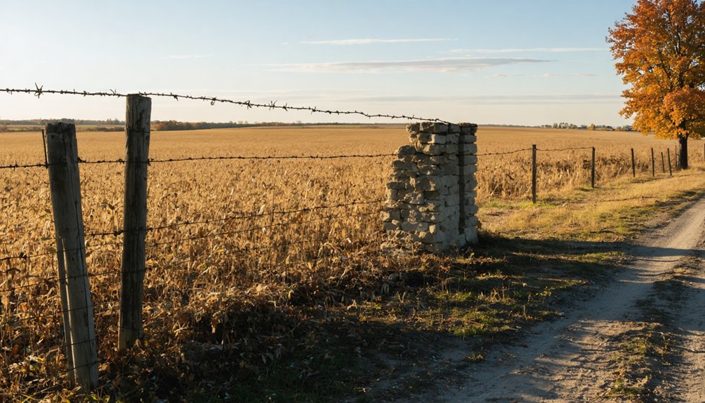
You’ll find no historical architecture standing here — the land reverted entirely to farmland, leaving local legends as your only guide through its past. Navigate Boone County roads near Belvidere to reach this quiet stretch of Illinois prairie, where the landscape tells its own story:
- Open fields replacing what were once active community gathering spaces
- Prairie soil concealing foundations of a forgotten rural settlement
- Flat Midwestern horizon stretching toward Belvidere to the north
- Farmland silence broken only by wind carrying echoes of agricultural heritage
Freedom-seekers will appreciate this raw, unfiltered glimpse into America’s rural past.
How Did Reeds Crossing Become a Ghost Town?
When you look into Reeds Crossing’s past, you’ll find it began as a self-sustaining farming community where agriculture drove both the economy and daily life.
Its fate shifted when modern transportation routes bypassed the settlement entirely, cutting off residents from growth opportunities and pushing them to seek futures elsewhere.
Without infrastructure access, the community couldn’t survive, and the land quietly returned to the farmland it had once been built upon.
Agricultural Roots And Origins
Like many rural Illinois settlements of the 19th century, Reeds Crossing built its identity entirely around farming. Historical agriculture shaped every aspect of daily life, and community bonds formed naturally through shared labor and faith.
Picture what life looked like here:
- Neighbors gathering after harvest, swapping stories across fence lines
- Fields stretching endlessly across Boone County’s rich prairie soil
- Families attending religious services that anchored their weekly rhythm
- Crop cycles dictating everything from work schedules to social calendars
You’re standing where self-sufficient people once carved meaning from the land. They didn’t need outside validation — the earth provided, and the community thrived together.
Understanding these agricultural roots helps you appreciate exactly what was lost when modern progress eventually turned its back on Reeds Crossing.
Transportation Bypass Caused Decline
Thriving agricultural communities don’t disappear overnight — something has to break the chain. For Reeds Crossing, that break came when modern transportation routes bypassed the settlement entirely.
Once the roads shifted, economic lifelines snapped. Residents couldn’t sustain their livelihoods without infrastructure connecting them to growing markets, so they left seeking opportunities elsewhere.
You can imagine what that departure looked like — community traditions fading season by season, historical architecture slowly surrendering to weather and neglect until farmland swallowed every trace.
Industrial and urban growth accelerated the exodus, pulling people toward connected towns with better access.
What you’ll find today reflects that harsh reality. Reeds Crossing mirrors dozens of Illinois settlements that simply couldn’t survive being cut off.
Freedom requires options — and the bypass eliminated them completely.
Farmland Reclaimed The Settlement
Once the residents packed up and moved on, nature and agriculture wasted no time reclaiming what had been built. Today, you won’t find historical architecture standing proudly against the Illinois sky. Instead, the land tells a quieter story of community resilience transformed into open prairie and working farmland.
Picture what you’d encounter exploring this reclaimed landscape:
- Flat agricultural fields stretching endlessly where homes and gathering spaces once stood
- Prairie grasses pushing through soil that once supported a thriving rural economy
- No foundations or remnants marking where families built their lives
- Unbroken farmland absorbing every trace of the settlement’s footprint
The earth simply swallowed Reeds Crossing whole. That raw, unfiltered reality makes visiting this ghost town feel genuinely different from anywhere else you’ve explored.
What’s Left to See at Reeds Crossing Today?
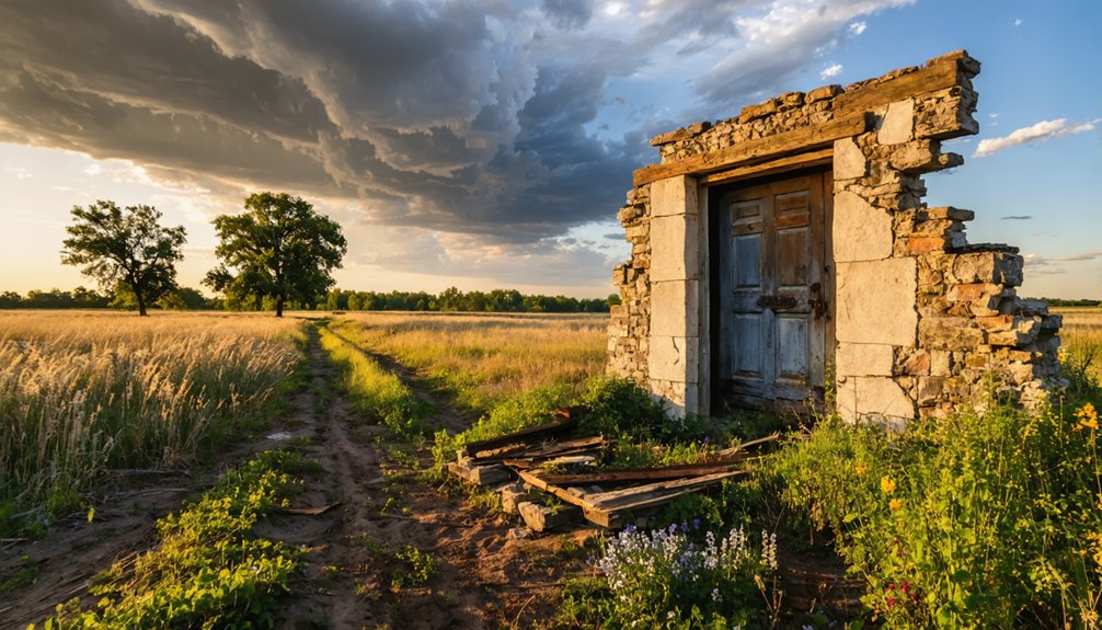
Although Reeds Crossing once bustled with rural life, you’ll find almost nothing standing today — the land has long since reverted to farmland, erasing nearly every trace of the original settlement. No historical architecture survives; the structures that once anchored this tight-knit community have completely disappeared beneath Illinois prairie soil.
What remains are community stories embedded in Boone County’s historical records and the quiet landscape itself. You’ll notice the rural terrain three miles south-southeast of Belvidere looks unremarkable, yet it carries invisible weight from generations of farming families who built lives here.
Bring curiosity rather than expectations of dramatic ruins. The real discovery happens when you stand on that open farmland, knowing a self-sustaining agricultural community once thrived exactly where you’re standing.
How Do You Get to Reeds Crossing From Belvidere?
Start your journey in downtown Belvidere, where you’ll head south-southeast along Boone County’s rural roads.
The site sits roughly three miles from town, so you won’t need much time to cover the distance.
Keep your eyes on the open farmland as you go — the landscape itself tells you exactly why settlers once chose this stretch of Illinois prairie.
Starting Point In Belvidere
Belvidere serves as your natural launching point for tracking down Reeds Crossing, and the drive itself is invigoratingly short. Head south-southeast roughly three miles, and you’ll find yourself tracing the same rural corridors that once connected this agricultural ghost town to the wider world.
Local legends whisper through the Illinois prairie winds here, and historical preservation enthusiasts treat this route as sacred ground.
Pack your curiosity and watch for these landmarks along the way:
- Open farmland stretching endlessly across the flat Boone County horizon
- Quiet county roads cutting through fields once worked by settlement farmers
- Rural crossroads echoing the forgotten intersection community of Reeds Crossing
- Prairie grasses swaying where original homesteads once anchored daily life
You’re chasing something real out here.
Route South-Southeast Direction
Heading south-southeast out of Belvidere, you’ll cover roughly three miles of quiet Boone County roads before reaching the former footprint of Reeds Crossing. The drive itself sets the tone — flat prairie stretches in every direction, and the landscape gradually shifts from suburban edges to open farmland.
You won’t find historical architecture marking your arrival. The settlement long ago surrendered its buildings to the plow, leaving behind only soil and local legends whispered among Boone County historians. Still, knowing you’re standing where a genuine rural community once gathered makes the journey worthwhile.
Use Belvidere as your anchor point and navigate south-southeast along county roads. The site sits north of Herbert, giving you two reference points to bracket your exploration and confirm you’ve found the right stretch of Illinois prairie.
What Boone County Sites Pair Well With Reeds Crossing?
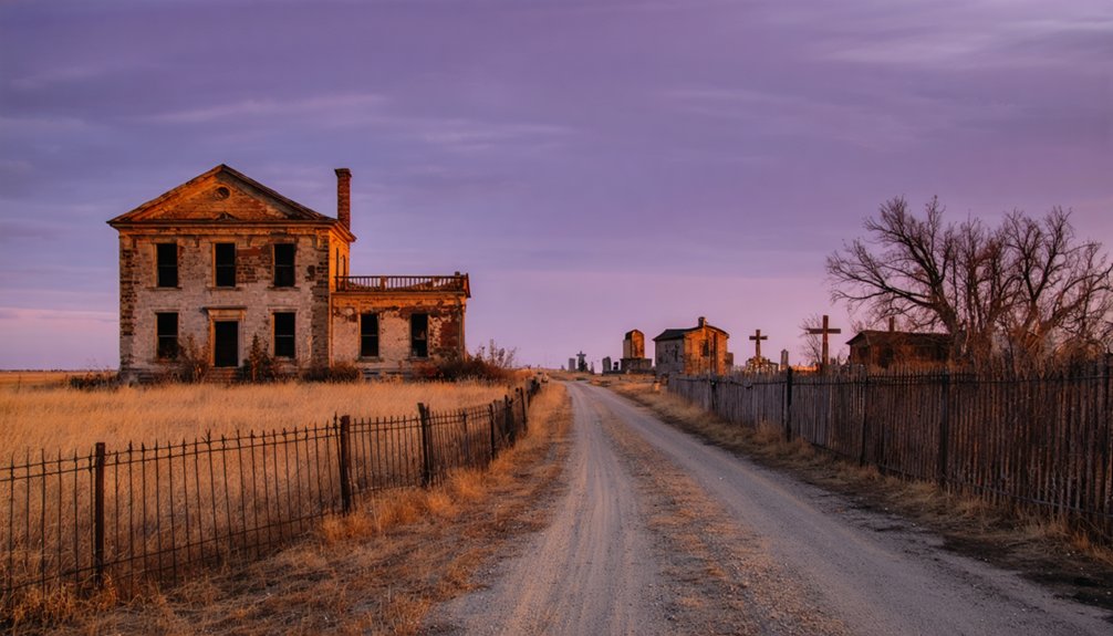
While Reeds Crossing itself offers little more than open farmland and quiet prairie, pairing it with nearby Boone County destinations makes the trip far more rewarding.
Historical preservation efforts and community archaeology opportunities throughout the county give your road trip genuine depth and meaning.
Consider adding these Boone County stops to your route:
- Belvidere’s Historic Downtown – Walk streets lined with preserved 19th-century architecture just three miles north.
- Boone County Historical Museum – Uncover agricultural settlement records connecting directly to Reeds Crossing’s era.
- Belvidere Cemetery – Read headstones that likely name families who once farmed this ghost town’s soil.
- Boone County Courthouse – Access land records tracing rural development patterns across the entire region.
Together, these destinations transform a single quiet field into a full day of meaningful Illinois exploration.
What’s the Best Time to Visit Reeds Crossing?
Timing your visit to Reeds Crossing makes a genuine difference in what you’ll experience across this quiet stretch of Boone County farmland. Spring and early fall offer the sharpest photography tips worth following — golden-hour light rakes across open fields, revealing subtle landscape contours where the settlement once stood. You’ll capture depth and texture that midday sun simply flattens.
Spring also discloses remarkable birdwatching opportunities, as migratory species pass through Illinois prairie corridors, adding unexpected life to an otherwise silent landscape.
Summer visits work but expect dense vegetation obscuring ground-level details. Winter strips the fields bare, exposing the land’s raw geometry — another strong choice for photographers.
Avoid muddy periods after heavy rain since Boone County’s rural roads can become difficult to navigate safely.
What Should You Bring to Explore Reeds Crossing?

When you head out to explore Reeds Crossing, you’ll want sturdy boots, weather-appropriate clothing, and a fully charged phone for photographing the sparse remnants scattered across the rural landscape.
Since minimal architectural traces remain and the terrain has reverted largely to farmland, bring water, snacks, and a basic first-aid kit to keep yourself comfortable during your search.
You should also pack reliable navigation tools—a downloaded offline map or a physical Boone County road map works best, since you’re pinpointing a site three miles south-southeast of Belvidere with few visible landmarks to guide you.
Essential Exploration Gear
Since Reeds Crossing offers little more than open farmland and faint historical traces, you’ll want to pack smart before heading out. The prairie landscape holds community stories buried beneath the soil, and without historical architecture to guide your eye, preparation becomes your greatest advantage.
Bring these essentials to make your visit worthwhile:
- Detailed county map or GPS – Boone County roads can disorient even experienced explorers
- Camera with wide-angle lens – Capture the vast farmland that replaced an entire community
- Weather-appropriate layers – Illinois prairie wind cuts sharply without warning
- Notebook and research notes – Document observations against pre-gathered historical records
You’re stepping into open countryside, not a museum. Coming prepared means you’ll leave with genuine insight rather than frustration from an unmarked, feature-sparse landscape.
Traveling to Reeds Crossing demands more than a casual glance at your phone’s default map app, because the site sits along rural Boone County roads that many digital services render poorly or omit entirely. Download offline topographic maps through apps like Gaia GPS or onX before you leave, and cross-reference them against USGS survey maps that reflect the area’s historical preservation records.
You’ll want to pin the coordinates 42°12′05″N, 88°47′55″W directly into your navigation device. A printed county road map serves as your backup when cell signals drop.
Understanding the site’s cultural significance deepens your navigation purpose — you’re not simply locating a field, you’re tracing a vanished community three miles south-southeast of Belvidere that rural Illinois roads quietly erased from mainstream memory.
How Do You Stay Safe Exploring Reeds Crossing?
Exploring Reeds Crossing means venturing into open farmland roughly three miles south-southeast of Belvidere, so you’ll want to prepare like you’re heading into any remote rural Illinois site.
Exploring Reeds Crossing means venturing into open farmland, so prepare as you would for any remote rural Illinois site.
The historical context of this ghost town reminds you that community resilience once thrived here, but the land has fully reclaimed itself.
Keep these safety essentials in mind:
- Wear sturdy boots to handle uneven prairie soil and hidden field debris
- Bring water and sunscreen since open Illinois farmland offers zero shade
- Respect private property boundaries by confirming land access before stepping onto any fields
- Tell someone your plans including your exact coordinates at 42°12′05″N, 88°47′55″W
You’re free to explore history here, but smart preparation keeps that freedom intact.
How Does Reeds Crossing Compare to Other Illinois Ghost Towns?
Once you’ve packed your boots and mapped your route, it’s worth asking what actually sets Reeds Crossing apart from the dozens of other Illinois ghost towns scattered across the prairie. Unlike some abandoned settlements that retain crumbling structures or overgrown foundations, Reeds Crossing has fully surrendered to farmland, leaving almost nothing visible above ground. That raw erasure makes historical preservation conversations more urgent here than at sites with standing ruins.
What you’ll find instead is open sky, quiet soil, and a powerful sense of community nostalgia tied to the agricultural roots that once defined Spring Township. Other Illinois ghost towns offer visual drama; Reeds Crossing offers something rarer — the freedom to imagine a vanished world without distraction.
That invisible history is exactly what makes this particular stop unforgettable.
Frequently Asked Questions
Can You Legally Access the Reeds Crossing Site on Private Farmland?
Like a locked treasure chest, Reeds Crossing sits on private land you can’t freely enter. You’ll want to contact local landowners first to avoid trespassing concerns and legally explore this fascinating ghost town’s forgotten prairie secrets.
Are There Guided Ghost Town Tours Available Near Belvidere, Illinois?
You won’t find formal guided tours near Belvidere for ghost town mysteries, but you’re free to independently explore abandoned landmarks like Reeds Crossing, uncovering its fascinating agricultural past through self-directed adventure along Boone County’s open roads.
What Native American History Predates the Reeds Crossing Settlement Era?
Coincidentally, the very soil you’ll walk on holds rich Native American tribes’ pre-settlement history, as Indigenous peoples thrived across Illinois’ prairies long before Reeds Crossing existed, leaving invisible yet powerful legacies beneath your feet.
Has Any Archaeological Excavation Ever Been Conducted at Reeds Crossing?
No confirmed archaeological excavation has occurred at Reeds Crossing. You’ll find that ancient artifacts likely sleep undisturbed beneath the prairie soil, waiting for proper excavation techniques to finally reveal the settlement’s hidden, fascinating stories.
Are There Historical Photographs or Maps of Reeds Crossing Still Available?
You’ll find historical preservation efforts have kept some maps and records alive through Boone County archives. Exploring these resources reveals Reeds Crossing’s cultural significance, connecting you to 19th-century rural Illinois life through surviving documents and land survey maps.
References
- https://en.wikipedia.org/wiki/Reeds_Crossing
- https://it.frwiki.wiki/wiki/Reeds_Crossing_(Illinois)
- https://hu.frwiki.wiki/wiki/Reeds_Crossing_(Illinois)
- https://en.wikipedia.org/wiki/Category:Ghost_towns_in_Illinois
- https://drloihjournal.blogspot.com/2022/09/lost-towns-of-illinois-reeds-crossing.html
- https://en.wikipedia.org/wiki/List_of_ghost_towns_in_Illinois
- https://sites.rootsweb.com/~iltttp/ghosttowns.htm
- https://freepages.rootsweb.com/~gtusa/history/usa/il.htm
- https://en.wikipedia.org/wiki/Hunter
- https://en.wikipedia.org/wiki/Category:Stub-Class_Ghost_town_articles?from=Pa