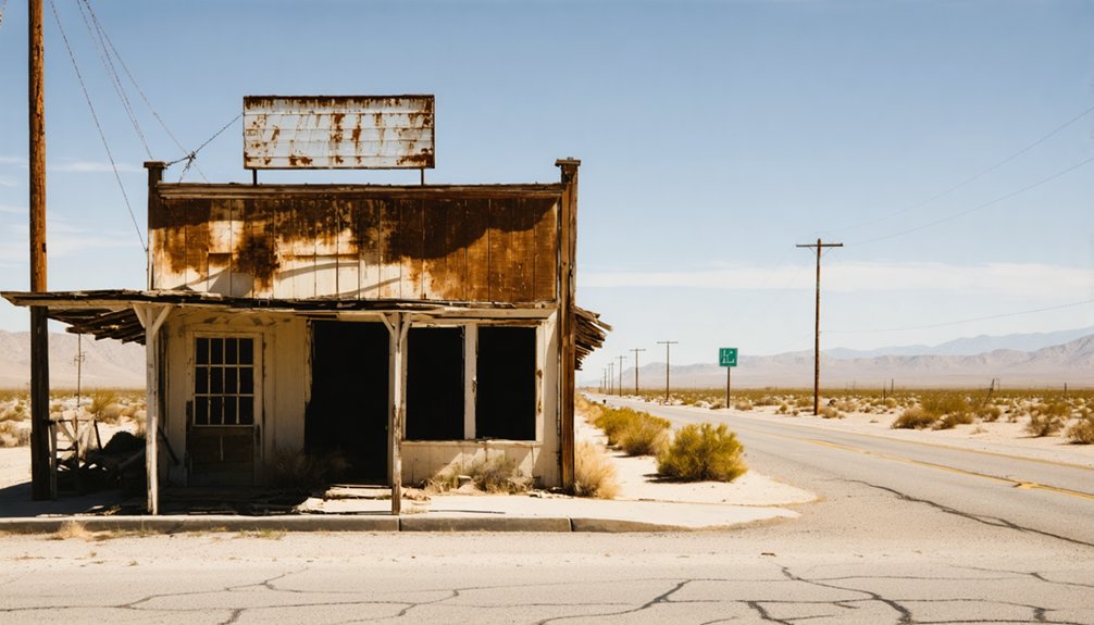
Planning a ghost town road trip to Roachville, California means heading to the east slope of the White Mountains, where crumbling mine shafts and scattered tailings along Cottonwood Creek reveal a raw, unfiltered 1861 mining history. You’ll need a high-clearance four-wheel-drive vehicle, solid navigation tools, and plenty of water and fuel. Spring and early fall offer the best conditions. Stick to daylight hours, respect what’s left behind, and keep exploring — there’s much more to uncover ahead.
Key Takeaways
- Roachville, founded in 1861 on the east slope of the White Mountains, is a rugged ghost town with scattered mining remnants along Cottonwood Creek.
- Visit in spring or early fall for mild temperatures, passable dirt roads, and optimal wildlife sightings while avoiding summer heat and winter closures.
- A high-clearance four-wheel-drive vehicle is recommended; pack recovery gear, extra water, fuel, and a spare tire for unpaved terrain.
- Start near White Mountain City, navigate northeast using GPS and paper maps, and exercise caution at trail forks and around old mine shafts.
- Nearby sites like Leadfield and Calico Ghost Towns can be combined with Roachville for a historically immersive backcountry road trip experience.
What Makes Roachville Worth the Drive?
While most California ghost towns come with gift shops and guided tours, Roachville offers something rarer — raw, unfiltered history sitting exactly where time left it. Founded in 1861 on the east slope of the White Mountains, this former mining settlement carries real historical significance, including its role in a notorious California election fraud incident that same year.
You won’t find crowds or curated exhibits here. What you’ll find instead are remnants of a boom era scattered along Cottonwood Creek, framed by the stark, sweeping scenic views the White Mountains deliver without apology.
The remote location near the Mono County border means you’re earning this experience — and that’s exactly the point. Roachville rewards travelers who want history on their own terms, not someone else’s scripted version of it.
When To Visit Roachville (And When To Skip It)
Timing your visit to Roachville can mean the difference between an unforgettable backcountry adventure and a dangerous mistake. Spring and early fall offer the sweet spot — mild temperatures, passable dirt roads, and stunning local flora blooming across the White Mountains’ eastern slopes.
You’ll also catch the best wildlife sightings during these shoulder seasons, when desert mammals and birds move freely through the landscape.
Avoid summer if you can. Heat climbs dangerously high, and the remote terrain offers zero shade or refuge.
Winter’s even riskier — snow closes unpaved roads near the Mono County border, cutting off access entirely.
Plan your drive during daylight hours regardless of season. No lighting, no services, and no cell coverage means darkness transforms an already isolated site into a genuine hazard.
Is Your Vehicle Ready for Roachville’s Dirt Roads?
Before you point your vehicle toward Roachville’s backcountry dirt roads, make sure it’s actually built for the challenge. Road conditions out here aren’t forgiving — you’re navigating unpaved terrain through the remote east slope of the White Mountains, far from any tow truck or mechanic.
Prioritize vehicle maintenance before departure. Check your tire tread, air pressure, and spare tire condition. Confirm your brakes, suspension, and undercarriage can handle rutted, uneven surfaces.
Before you hit the dirt, your rig needs to be ready. Tires, brakes, suspension — check everything.
A high-clearance four-wheel-drive isn’t just recommended — it’s practical insurance against getting stranded miles from help.
Pack vehicle recovery gear, including traction boards and a tow strap. Nobody’s coming to rescue you if your rig bottoms out near Cottonwood Creek. Prepare thoroughly, and Roachville rewards you with raw, unfiltered history.
How To Get To Roachville on the White Mountains’ East Slope
To reach Roachville, you’ll need to plan a backcountry route into Inyo County, targeting the east slope of the White Mountains near the Mono County border.
Once you’re off paved roads, dirt tracks will carry you toward the lower reaches of Cottonwood Creek, so a GPS device and a detailed map are non-negotiable companions.
Keep White Mountain City in your sights as a key landmark, since Roachville sits northeast of it at the edge of that same historic mining corridor.
Starting Your Route Planning
Reaching Roachville means trading paved roads for backcountry dirt routes that wind up toward the east slope of the White Mountains in Inyo County.
You’ll want to anchor your route around White Mountain City, which sits southwest of Roachville near the Mono County border. From there, dirt roads push northeast toward Cottonwood Creek’s lower reaches, placing you within range of the settlement’s historical significance as an 1861 mining community.
Local legends surrounding the California election fraud incident that fall give this forgotten outpost an edge beyond typical ghost town stops. Load your GPS with topographic maps before you leave, since no signage guides you in.
Your vehicle needs to handle unpaved terrain confidently, and your planning needs to start well before you hit the trailhead.
Once you leave the pavement behind, the route to Roachville demands your full attention and a vehicle that can handle loose gravel, washboard surfaces, and unpredictable terrain. You’re heading northeast toward the Mono County border, navigating dirt roads that climb the east slope of the White Mountains above Cottonwood Creek.
Keep your speed slow and your eyes scanning. Local wildlife, including mule deer and raptors, cross these backcountry corridors without warning. A GPS device isn’t optional here — it’s essential, since trails fork without signage.
The historical significance of this route adds weight to every mile. You’re tracing paths that miners carved out in 1861.
Bring recovery gear, extra water, and fuel. Nobody’s coming to help if something goes wrong out here.
Key Landmarks Near Roachville
Getting to Roachville becomes simpler when you lock onto the right landmarks before you ever leave the pavement. White Mountain City sits southwest of Roachville and serves as your most reliable anchor point — once you’ve spotted it, you’re close.
From there, follow Cottonwood Creek northeast toward the Mono County border, letting the creek’s lower reaches guide your route up the east slope of the White Mountains.
Keep your eyes open as you travel. The rugged terrain supports excellent wildlife observation, and spotting local species signals you’re moving through undisturbed backcountry.
As Roachville comes into view, you’ll notice scattered historical artifacts marking the old settlement’s footprint. Use these remnants as confirmation you’ve arrived rather than landmarks to disturb — leave everything exactly as you find it.
What’s Left at the Roachville Site Today
When you arrive at Roachville, you won’t find standing buildings or preserved facades — time and weather have stripped the site down to scattered remnants of its 1861 mining boom.
You can still spot signs of the settlement’s industrial past, with old shafts and tailings likely visible near Cottonwood Creek marking where miners once worked the earth.
Keep your eyes open as you explore, since these subtle features tell the site’s story better than any reconstructed attraction could.
Remaining Structures And Ruins
Although Roachville never grew into a sprawling mining hub, what remains today reflects the quiet erasure that time and weather inflict on forgotten settlements. You’ll find no restored facades or guided trails here — just raw, unfiltered history sitting quietly on the east slope of the White Mountains.
Historical artifacts and preservation challenges define the experience.
Expect to encounter:
- Collapsed or heavily deteriorated structural remnants from the 1861 founding era
- Possible mining tailings or shallow shaft depressions near Cottonwood Creek
- Scattered debris fields where original buildings once stood
- Weathered foundations partially reclaimed by desert vegetation
Nobody’s maintaining this site, which means you’re walking through history on its own terms. That freedom comes with responsibility — leave everything undisturbed so future visitors can experience the same unfiltered glimpse.
Mining Features Near Creek
Cottonwood Creek runs through the heart of what little remains at Roachville, and it’s along this corridor where you’ll find the most tangible evidence of the settlement’s mining past.
Scattered near the creek, you’ll likely spot remnants tied to historical mining techniques — old shafts cut into the hillside and tailings piles left behind from ore processing. Abandoned equipment may surface if you look carefully, though decades of exposure have taken a serious toll.
These relics tell a raw, unfiltered story of the 1861 mining rush that briefly made this place matter. Handle everything with care and leave it undisturbed — these fragments aren’t just debris, they’re the last physical proof that real people once worked this rugged, unforgiving land.
How To Pack for a Roachville Backcountry Visit
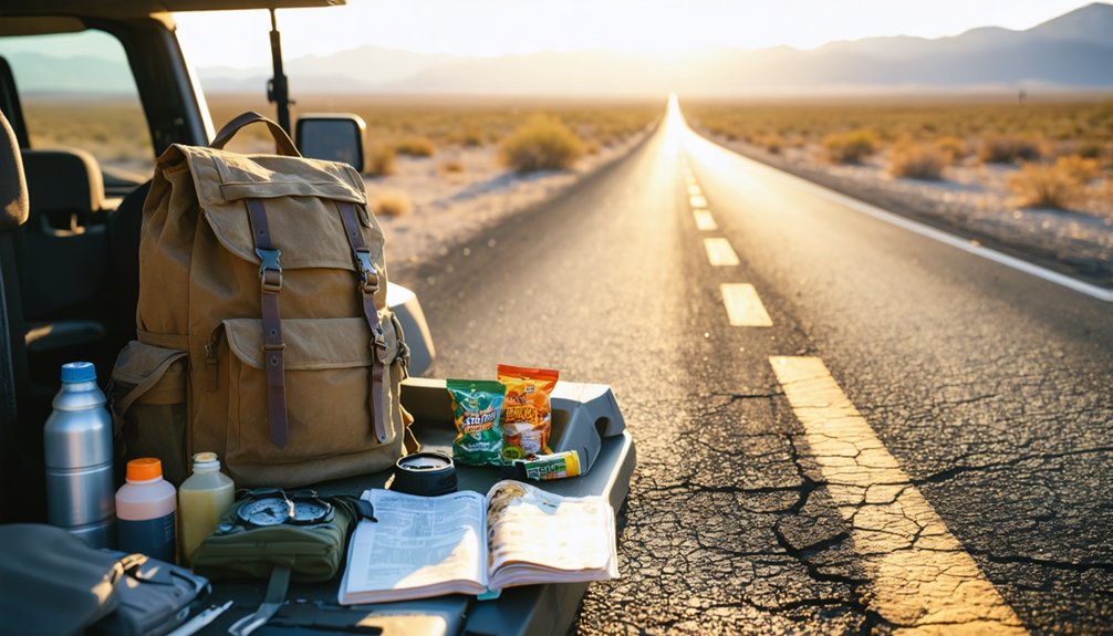
Packing smart can make or break your backcountry trip to Roachville. No services, no cell towers, and no staff await you — just raw terrain steeped in historical anecdotes and local legends. Pack deliberately and you’ll explore freely.
- Water and food — Carry more than you think you’ll need; high desert conditions drain you fast.
- Navigation tools — A GPS device and paper map are non-negotiable on unmarked dirt roads.
- Vehicle recovery gear — A tow strap, shovel, and tire repair kit can save your trip.
- First-aid kit — Remote locations demand self-sufficiency when emergencies strike.
Dress in layers, fuel up before leaving paved roads, and respect whatever remnants remain. Your freedom depends on your preparation.
How To Stay Safe at Roachville With No Cell Service
Venturing into Roachville without cell service means you’re your own emergency contact, so preparation isn’t optional — it’s survival strategy. Carry a paper map and GPS device because digital signals vanish fast in the White Mountains backcountry.
Tell someone your exact route before you leave — a trusted contact who’ll call for help if you don’t check in by nightfall.
Wildlife encounters are real here; rattlesnakes and desert predators share this remote terrain. Stay alert, watch your footing near old mine shafts, and never explore alone.
A first-aid kit and vehicle recovery gear aren’t suggestions — pack both.
Treat historical preservation seriously by leaving every remnant undisturbed. The freedom this isolated landscape offers comes with full personal responsibility, so respect the site and protect yourself equally.
Nearby White Mountain Ghost Towns Worth Combining With Roachville
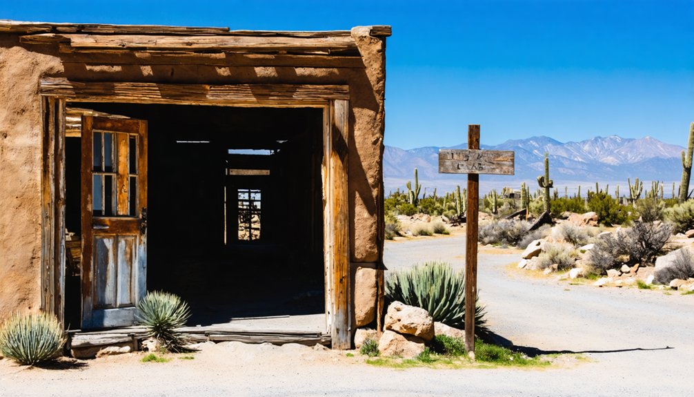
While Roachville rewards the determined explorer, White Mountain City sits just southwest and deserves a spot on your itinerary — it shares the same turbulent 1861 mining history, including that notorious California election fraud scandal that put both settlements on the map.
Just southwest of Roachville, White Mountain City shares the same turbulent 1861 mining history and notorious election fraud scandal.
Combine both sites efficiently by planning stops that maximize your backcountry freedom:
- White Mountain City — Southwest anchor for your route, rich in historical preservation opportunities
- Leadfield Ghost Town — Death Valley’s rusted buildings and mine shafts reward the adventurous
- Calico Ghost Town — A maintained alternative offering guided tours near Yermo
- Cottonwood Creek corridor — Connect sites while staying alert for wildlife encounters common in remote high-desert terrain
Each stop adds depth without doubling your mileage.
Frequently Asked Questions
Was Roachville Ever Featured in Any Books or Documentaries?
Ironically, Roachville’s historical landmarks and local legends haven’t earned it documentary fame yet, but you’ll find it mentioned in California’s 1861 election fraud records — a scandalous chapter that’s just waiting for your discovery.
Are There Any Guided Tours Available Specifically for Roachville Visitors?
You won’t find guided tours or visitor amenities at Roachville—it’s a raw, untamed historical landmark waiting for your independent exploration. Embrace the freedom of charting your own path through this forgotten mining ghost town!
Is Photography or Filming Permitted at the Roachville Site?
You’ll find no official camera restrictions or filming policies at Roachville, since it’s an abandoned, unmanaged site. Feel free to capture its haunting remnants, but always respect the historic features you’re documenting during your visit.
What Was the Nature of the 1861 California Election Fraud Incident?
Though records are sparse, you’ll find that Roachville and White Mountain City became centers of election controversy and voter manipulation in fall 1861—ghost towns built on mining dreams yet shadowed by deliberate corruption undermining California’s democratic process.
Are There Any Entry Fees or Permits Required to Visit Roachville?
You won’t face any entry fees or permit requirements to visit Roachville! It’s an abandoned, unmaintained site, so you’re free to explore this remote ghost town on your own terms anytime you choose.
References
- https://dvnha.org/info-trip-planning/ghost-towns/
- https://californiathroughmylens.com/calico-ghost-town/
- https://inspiredimperfection.com/adventures/leadfield-ghost-town/
- https://en.wikipedia.org/wiki/Roachville
- https://www.visitcalifornia.com/road-trips/ghost-towns/



