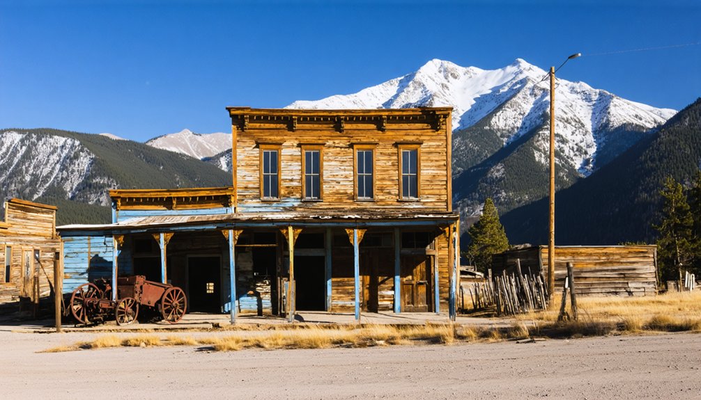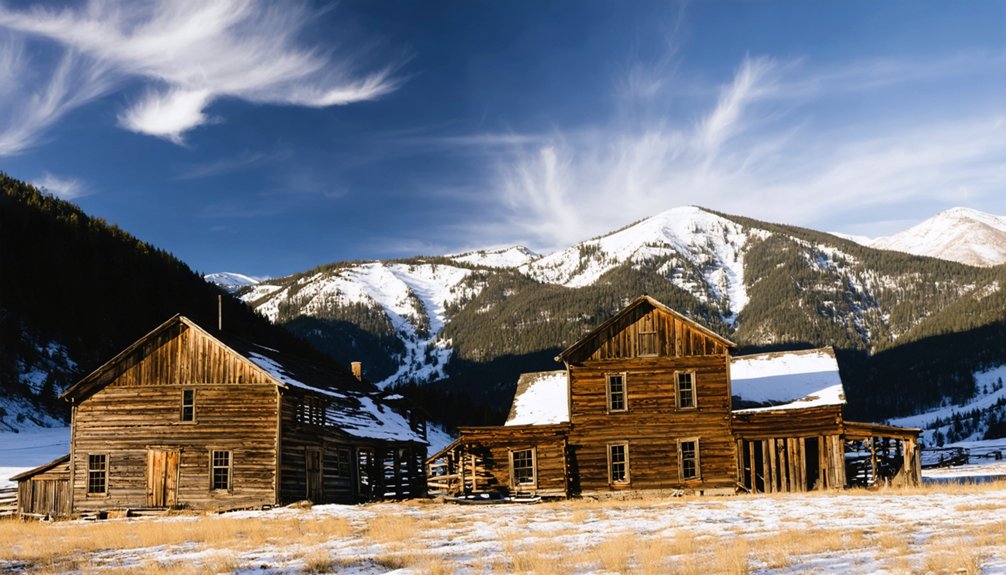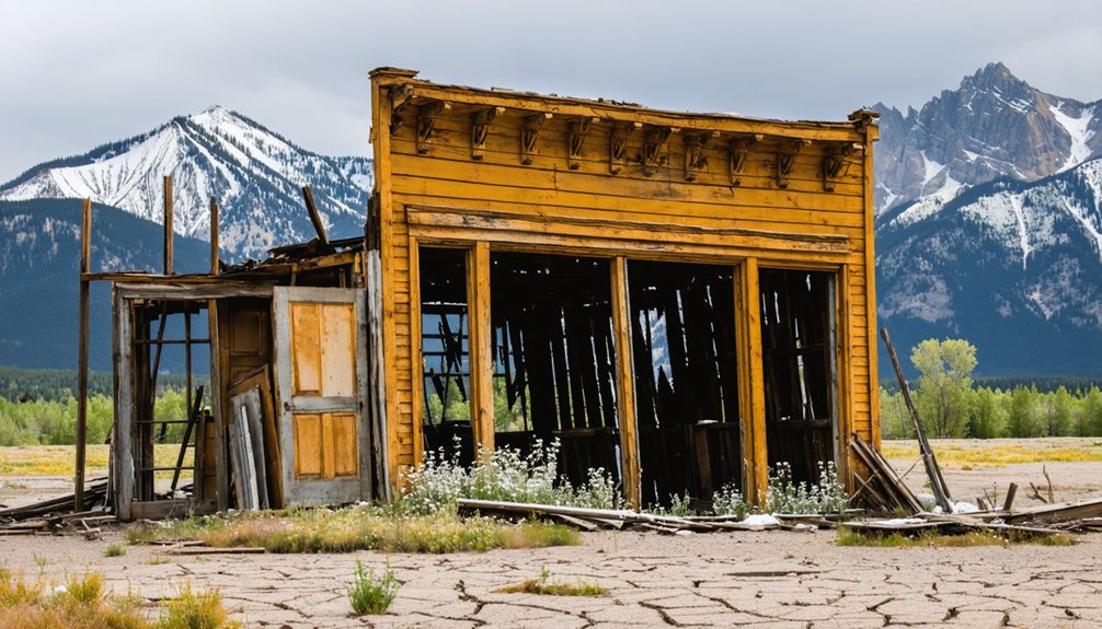
Planning a ghost town road trip to Swandyke, Colorado means heading to one of the state’s highest abandoned mining camps at 11,076 feet. You’ll start in Breckenridge, follow Tiger Road, then tackle the rugged Middle Fork Swan 4WD route. Visit between July and September for open roads and clear views. Pack recovery gear, offline maps, and high-altitude supplies. One original cabin and a historic stone monument still stand waiting, and there’s far more to discover ahead.
Key Takeaways
- Swandyke sits at 11,076 feet in Colorado’s Rockies, founded in 1898 and abandoned by 1910, with one original cabin still standing.
- Visit July through September for open roads, minimal snow, clear views, and the best wildlife viewing opportunities.
- From Breckenridge, follow Hwy 9, then County Rd 6/Tiger Road for 6.2 miles, turning onto Middle Fork Swan Road to reach the 4WD start.
- Bring essential recovery gear including tow straps, hi-lift jacks, offline maps, and a satellite communicator like Garmin inReach.
- Swandyke connects to nearby ghost towns like Parkville, St. Elmo, and Tincup, making it ideal for an extended backcountry road trip.
Swandyke Ghost Town: Colorado’s Highest Abandoned Mining Camp
Perched at 11,076 feet in Colorado’s Rocky Mountains, Swandyke is one of the state’s highest abandoned mining camps, and it’s got a story worth chasing. Founded in 1898 during a renewed gold mining surge, this Summit County settlement drew prospectors hungry for fortune.
At 11,076 feet, Swandyke isn’t just high up — it’s a gold rush story written in thin air.
By 1910, the gold reserves had run dry, and the town was left to the elements.
Today, ghost town preservation efforts have kept one original cabin standing as a quiet reminder of Swandyke’s brief but ambitious life. You won’t find a bustling historic district here — just raw mountain terrain, thin air, and the weight of history beneath your boots.
That single cabin speaks volumes about what once thrived and what the mountains ultimately reclaimed.
When to Visit Swandyke for Open Roads and Clear Views
Timing your visit to Swandyke makes all the difference between a rewarding drive and a frustrating dead end. The road closes seasonally from November 23 to May 20, so you’ll need to plan accordingly.
July through September offers the clearest upper road access, with snow finally retreating from the higher elevations around 11,076 feet.
June remains unpredictable — you might encounter snow-packed sections blocking your path entirely.
July opens the terrain fully, giving you unobstructed views and drier 4WD conditions.
August and September maintain those ideal conditions, rewarding you with prime wildlife observation opportunities as elk and other animals move freely through the White River National Forest.
These warmer months also let you fully appreciate the historical preservation efforts protecting Swandyke’s remaining cabin structure without seasonal obstacles clouding your experience.
Gear Checklist for Swandyke’s 11,000-Foot 4WD Terrain
Before you hit the rocky outcroppings on the Middle Fork Swan 4WD road, you’ll want essential vehicle recovery gear — think tow straps, a hi-lift jack, and a portable air compressor — ready to handle Swandyke’s unforgiving terrain.
At 11,076 feet, thin air and rapid weather shifts make high-altitude survival supplies non-negotiable, so pack extra layers, emergency blankets, water, and a first-aid kit.
You’re also *orienteering* remote White River National Forest roads with spotty cell service, so bring a topographic map, a GPS device, and a satellite communicator to stay connected when it counts.
Essential Vehicle Recovery Gear
Reaching Swandyke’s rugged 11,076-foot terrain means you’ll want your recovery gear dialed in well before you hit the steep rocky outcroppings along the Middle Fork of the Swan 4WD road.
Pack a quality tow strap, recovery boards, and a Hi-Lift jack as your foundation. A portable air compressor and tire plug kit handle punctures fast, keeping you mobile in remote terrain where wildlife encounters with elk or mule deer can distract even seasoned drivers.
Carry a shovel for unexpected soft spots and a snatch block to double your winch’s pulling power if you’ve got one mounted. Getting stuck miles from Breckenridge while chasing historical artifacts and cabin ruins isn’t the adventure you’re after — having the right recovery kit means you stay in control of your journey.
High-Altitude Survival Supplies
Swandyke’s 11,076-foot elevation hits hard, especially if you’re driving up from lower altitudes without giving your body time to adjust. Altitude sickness sneaks up fast — headaches, nausea, and dizziness can sideline your adventure before you reach the ghost town.
Pack emergency supplies that match the terrain’s demands.
Your high-altitude kit should include:
- Hydration – Drink at least one extra liter of water daily above 10,000 feet
- Medications – Ibuprofen and acetazolamide help combat altitude sickness symptoms
- Layered clothing – Temperatures drop sharply, even in July and August
- Emergency blankets – Lightweight and critical if weather turns
- First aid kit – Include blister treatment for trail exploration
- Extra food – High-calorie snacks sustain energy at elevation
Don’t underestimate the mountain.
Cell service vanishes fast once you leave Colorado Hwy 9 and push deeper into Summit County’s backcountry, so you’ll need reliable navigation tools before you hit Middle Fork Swan Road. Download offline topographic maps covering the 39°30′30″N, 105°53′32″W coordinates around Swandyke before departing Breckenridge.
A handheld GPS unit keeps you oriented through the steep rocky outcroppings along the 4WD route, especially when you’re hunting historical artifacts like that surviving cabin or the stone Masonic monument. Carry a paper topo map as backup — electronics fail at 11,076 feet.
Pack a satellite communicator like a Garmin inReach for emergencies. Local legends surrounding Swandyke’s abandoned mining era make the journey compelling, but remote terrain demands real communication capability.
Freedom out here means staying prepared, not stranded.
How to Get to Swandyke From Breckenridge
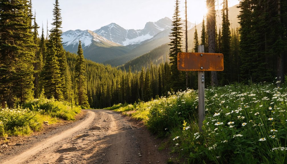
Getting to Swandyke from Breckenridge is a straightforward drive that’ll take you through some stunning Rocky Mountain scenery.
Getting to Swandyke from Breckenridge is an unforgettable drive through breathtaking Rocky Mountain scenery.
Head north on North Main Street, following Colorado Hwy 9 for 2.9 miles before turning right onto County Rd 6/Tiger Road. Continue 6.2 miles, then turn onto Middle Fork Swan Road. Drive 0.8 miles to reach the 4WD road start.
Here’s what awaits you along the way:
- Freedom of the open road — rugged terrain that rewards adventurous drivers willing to push beyond paved comfort zones.
- Living history — historical artifacts and remnants of 19th-century mining techniques scattered across the landscape.
- Raw wilderness solitude — dispersed campsites at the western end of Middle Fork Swan Road invite you to linger longer.
Once you’ve traveled 0.8 miles on Middle Fork Swan Road, you’ll reach the start of the 4WD road, where the real adventure begins.
You’ll need to navigate one section of steep, rocky outcroppings that demands a capable vehicle and steady nerves.
If you’re looking to camp, you’ll find dispersed campsites waiting at the western end of the 4WD road, making it a convenient base for exploring Swandyke.
Road Start Location
After driving 0.8 miles on Middle Fork Swan Road, you’ll reach the start of the 4WD road, where the terrain shifts from manageable gravel to a more demanding, rocky path. This is where your adventure truly begins, connecting you to historical artifacts and local legends of Colorado’s mining past.
Prepare yourself for:
- The thrill of conquering steep, rocky outcroppings that remind you why you craved this freedom in the first place
- A raw, unfiltered connection to 1898 gold rush history, where miners once hauled dreams through these same rugged trails
- Breathtaking elevation gains revealing sweeping Rocky Mountain vistas that no paved road could ever deliver
Your vehicle needs 4WD capability here — this terrain demands respect and rewards courage.
Steep Rocky Outcroppings
The 4WD road wastes no time testing your nerve. Shortly after you begin climbing, you’ll encounter one section of steep rocky outcroppings that demands full attention and a capable vehicle.
This is where elevation challenges become real — you’re pushing toward 11,076 feet, and the terrain reflects every foot of that climb.
Pick your line carefully through the rocks, maintain steady momentum, and trust your tires. Rush it, and you’ll regret it.
Take it smart, and you’ll break through to a landscape shaped by gold mining history — a place where determined miners once hauled equipment through this same unforgiving terrain chasing fortune.
That rugged section isn’t a flaw in the journey. It’s the gateway that keeps the casual visitor out and rewards the adventurous traveler who pushes through.
Dispersed Campsite Access
Clearing that rocky section, you’ll find the terrain opening up as you push deeper into the Middle Fork Swan 4WD road toward a handful of dispersed campsites at its western end. These free, no-reservation sites put you directly inside untamed Colorado wilderness, surrounded by wildflower blooms and mountain wildlife at every turn.
Camping here means:
- Waking to silence — no crowds, no noise, just alpine air and the distant sound of the Swan River
- Spotting mountain wildlife at dawn before the trail fills with daylight activity
- Stepping outside your tent into meadows exploding with wildflower blooms that carpet the gulch floor
You’re not just visiting Swandyke — you’re living inside its forgotten landscape, completely on your own terms.
The Cabin and Stone Monument Still Standing at Swandyke
Once you’ve navigated the rocky 4WD road and reached Swandyke’s former townsite, two remarkable remnants of its past greet you: a lone standing cabin and a stone monument.
After navigating the rugged 4WD road, two remarkable remnants of Swandyke’s past await: a lone cabin and a stone monument.
The cabin, built in 1878 for the Wise Mountain Silver Mining Claim, stands as a testament to historical preservation in this remote Rocky Mountain setting. It’s one of the few tangible links connecting you to the miners who once carved a life here at 11,076 feet.
Nearby, the stone monument marks the site of the first Masonic Temple on Colorado’s western slope, carrying deep cultural significance for the region’s early settlers.
Together, these two structures tell Swandyke’s story more powerfully than any photograph, rewarding every traveler willing to make the rugged journey.
Camping Along the Middle Fork Swan Road
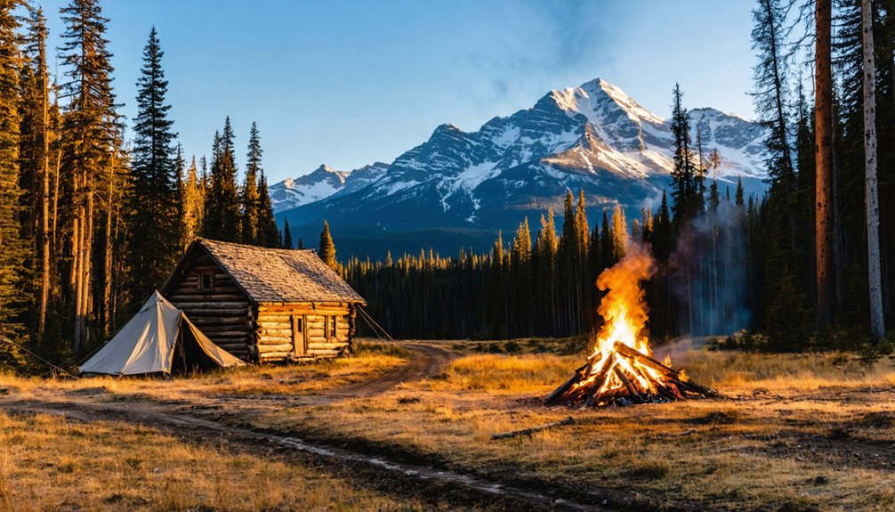
After exploring Swandyke’s historic remnants, you’ll find dispersed campsites waiting at the western end of the Middle Fork Swan 4WD road, making it easy to extend your visit into an overnight adventure. Sleeping under Rocky Mountain stars near historical artifacts and local legends creates an unforgettable connection to Colorado’s mining past.
Here’s why staying overnight transforms your experience:
- Wake up to unfiltered mountain silence at 11,000+ feet, where no crowds interrupt your connection to this forgotten world.
- Chase golden-hour light across the same terrain where 1898 miners once staked their dreams.
- Access nearby Colorado Trail trailheads early, beating any summer traffic before the mountain reveals its full majesty.
Nearby Ghost Towns on the Summit County 4WD Network
Swandyke isn’t the only ghost town worth chasing through Summit County’s rugged 4WD network. The interconnected 4×4 roads linking Breckenridge and Montezuma open doors to a broader world of Colorado mining history.
Parkville, founded in 1859, tells a dramatic story — the town fundamentally destroyed itself through rock slides, yet a rebuilt 1930 mill still stands nearby, preserving historical artifacts and large machinery in surprisingly good condition.
Push further across the Colorado Rockies and you’ll encounter Animas Forks near Silverton, accessible via California Gulch road.
Nederland’s Caribou road leads you to the Continental Divide ghost town.
Semi-ghost towns St. Elmo and Tincup sit near Nathrop via Tincup Pass.
Each destination rewards your curiosity with raw, unfiltered glimpses into Colorado’s rich mining history.
4×4 Roads and Trails You Can Ride Out From Swandyke
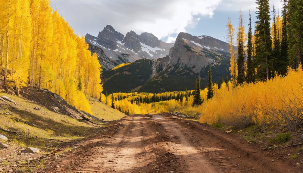
Reaching Swandyke is really just the beginning — the surrounding White River National Forest network of 4×4 roads and trails connects you to an expansive backcountry playground. From Swandyke, you can push outward and explore freely:
- Colorado Trail Trailheads — Hike into raw wilderness where mining history echoes across every ridge and valley.
- Breckenridge-to-Montezuma 4×4 Corridor — Ride interconnected roads linking ghost towns rich with historical artifacts, abandoned structures, and untamed mountain scenery.
- Wise Mountain Summit — Climb 0.6 miles west of the cabin to reach the flat-top summit, rewarding you with sweeping Continental Divide views.
Each route pulls you deeper into Colorado’s rugged past, where you’re not just driving — you’re uncovering stories the mountains have kept for over a century.
Frequently Asked Questions
What County Was Swandyke Located in During Its Mining Era?
Ever wondered about historical mining boundaries? You’ll find Swandyke’s ghost town architecture sat within Summit County, which once stretched dramatically to Utah’s border during its active mining era — a vast, freedom-inspiring frontier territory!
What Were the Coordinates of the Swandyke Ghost Town Settlement?
You’ll find Swandyke’s ghost town history pinpointed at 39°30′30″N, 105°53′32″W, near the Middle Fork of the Swan River — coordinates that’ll transport you straight to this enthralling mining era detail tucked within Colorado’s breathtaking Rocky Mountains.
How Long Did Swandyke Operate Before Being Completely Abandoned by Miners?
You’ll find Swandyke’s mining history spanned just 12 years, operating from 1898 until 1910. Miners abandoned this remarkable ghost town preservation site after depleting its gold reserves, leaving only one weathered cabin standing as a lasting proof.
What Caused Swandyke to Be Abandoned After Only Twelve Years?
Depleted gold reserves and economic struggles drove miners away, leaving behind haunting legends and abandoned structures. You’ll find only one remaining cabin whispering Swandyke’s story, a gold rush dream that couldn’t survive past 1910.
When Does the Seasonal Road Closure to Swandyke Begin Each Year?
Like clockwork, seasonal closures slam the gate on your adventure every November 23rd. You’ll need to plan around road maintenance that keeps Swandyke’s access shut until May 20th, so time your freedom-seeking journey wisely!
References
- https://en.wikipedia.org/wiki/List_of_ghost_towns_in_Colorado
- https://www.4x4explore.com/rds/m_rds/mdl_frk_swan.html
- https://skjtravel.net/index.php/15-features/471-the-shrinking-past-more-mining-memories-in-colorado
- https://www.uncovercolorado.com/ghost-towns/
- https://www.4x4explore.com/dest/dest_ghst.htm