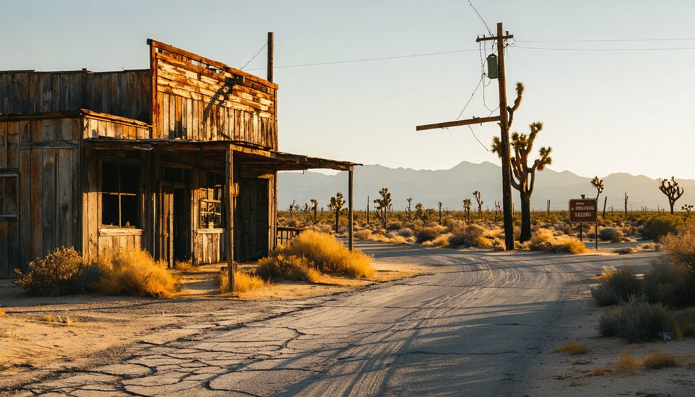
Planning a ghost town road trip to Termo, California means driving U.S. Highway 395 into Lassen County’s remote Modoc Plateau, where a railroad boomtown collapsed in just 14 months. The Nevada–California–Oregon Railway built Termo in 1900, then abandoned it by 1901 when the line pushed north to Madeline. You’ll find weathered ruins, abandoned tanks, and open desert silence at 5,305 feet. There’s far more to this forgotten railhead’s story than its short life suggests.
Key Takeaways
- Termo, located in Lassen County, California, was a short-lived railroad town established in 1900 and abandoned by 1914.
- Access Termo via U.S. Highway 395, using Susanville as a base before heading north toward the site.
- The site contains scattered ruins, abandoned tanks, and a weathered freight house with no formal preservation or tourist facilities.
- Visit between late spring and early fall for mild temperatures, dry roads, and safer exploration conditions.
- Combine your trip with nearby ghost towns like Madeline, Ravendale, and Standish for a richer historical experience.
What Makes Termo California’s Shortest-Lived Boom Town?
When the first Nevada–California–Oregon Railway train rolled into Termo on June 1, 1900, the town’s clock was already ticking. The railroad invested roughly $50,000 building a massive freight house and supporting infrastructure, earning Termo the nickname “$50,000 folly” almost immediately.
That boom lasted just fourteen months. By July 1901, the line extended north to Madeline, stripping Termo of its railhead status overnight.
What you’re left with today is a compelling piece of industrial archaeology — scattered ruins, abandoned water tanks, and ghost structures that speak louder than any museum exhibit.
Termo’s cultural heritage isn’t polished or packaged; it’s raw and honest. The town proves how completely a single railroad routing decision could build and erase a community, making it California’s shortest-lived boom town.
How the Nevada–California–Oregon Railway Created and Killed Termo
You can understand why. Fourteen months later, the line pushed 14 miles north to Madeline, and Termo’s purpose evaporated overnight.
Settlers followed the rails, not the ruins. Ghost town legends often involve slow decay, but Termo moved fast — the post office closed by 1914, leaving behind scattered tanks, broken structures, and a high desert silence that still greets you today.
Where Is Termo, and How Do You Get There?
You’ll find Termo tucked into the remote Modoc Plateau of Lassen County, California, sitting at roughly 5,305 feet above sea level in a stretch of high desert that still feels like the edge of nowhere.
Getting there is straightforward if you’re already traveling U.S. Highway 395, which runs near the historic site and serves as your primary road access.
Whether you’re heading north from Susanville or south from Alturas, Highway 395 puts Termo within easy reach as a roadside stop on a broader ghost-town road trip.
Termo’s Remote Desert Location
Tucked into the remote Modoc Plateau of Lassen County, California, Termo sits at roughly 5,305 feet above sea level — high desert country that feels every mile of its distance from civilization. You’ll find no crowds, no gift shops, and no curated experience waiting for you here.
Instead, you get open skies, sparse desert flora clinging to volcanic soil, and the kind of remote solitude that road-trippers who crave genuine freedom actively seek. Summers run pleasant to warm, making exploration comfortable, while winters bring cold temperatures and heavy snow that can complicate access.
The landscape is stark, wide, and unapologetically empty — exactly what makes it worth the drive. If you want a place that hasn’t been packaged for tourists, Termo delivers completely.
Reaching Termo By Road
Getting to Termo is straightforward once you know where to look: U.S. Highway 395 runs directly past the site, making it an easy roadside stop on a longer desert drive. You’ll cruise through the remote Modoc Plateau, where open skies and sparse traffic give you genuine freedom to move at your own pace.
Keep your eyes open for local wildlife crossing the highway — pronghorn and mule deer frequent this high desert corridor. The elevation sits around 5,305 feet, so check road conditions before a winter visit, since snow can complicate access.
Termo rewards those who value historic preservation and self-directed exploration over curated attractions. No guided tours exist here — just you, the ruins, the wind, and the quiet story of California’s shortest-lived boom town waiting along the roadside.
Highway 395 Access Points
Where exactly does Termo sit along Highway 395, and how do you find it without overshooting a blink-and-miss-it ghost town? Termo rests in Lassen County, roughly between Susanville to the south and Madeline to the north.
As you drive Highway 395 through the Modoc Plateau, you’ll notice the landscape opening into wide, quiet high desert at around 5,305 feet elevation.
Watch for roadside markers and remnants of railroad facilities that hint at the site’s cultural significance as California’s shortest-lived boom town.
Local legends surrounding the “$50,000 folly” freight house give the stop unexpected depth.
You won’t find a billboard announcing Termo, so slow down, stay alert, and trust your odometer.
Freedom-minded road trippers who pay attention are rewarded with a genuinely raw piece of California railroad history.
What’s Left to See at the Termo Ghost Town Site?
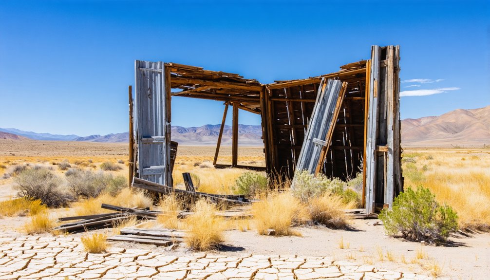
When you pull off Highway 395 and walk the Termo site, you’ll find scattered railroad ruins that hint at the town’s brief but intense boom.
You can spot abandoned water tanks and oil tanks still standing amid the high desert quiet, giving the place an eerie, time-capsule quality.
The original freight house—once a massive 178-by-48-foot structure representing a $50,000 investment—has weathered down to little more than a ruined shell.
Railroad Ruins Still Standing
Although Termo’s boom lasted only fourteen months, the site still holds enough remnants to reward a curious visitor. You’ll spot abandoned water tanks and oil tanks standing against the high desert sky, quietly marking where a once-busy railhead operated.
The original freight house — a massive 178-by-48-foot structure — has collapsed into ruins, but its footprint still communicates the cultural significance this remote outpost once carried.
Preservation challenges are real here. No formal protection shields these structures, so decay continues unchecked. What remains is raw and unpolished, which actually suits independent explorers perfectly.
You’re reading the landscape on your own terms, piecing together a freight economy that vanished fast. Bring your curiosity, walk the site carefully, and let the ruins speak without a guided script telling you what to think.
Abandoned Tanks and Structures
Standing at the Termo site today, you’ll find a spare but evocative collection of remnants — abandoned water tanks and oil tanks rising against the open Modoc Plateau sky, their weathered forms marking the footprint of a railhead that briefly hummed with freight activity.
The desert landscape amplifies every detail, making ghost town photography here feel raw and unfiltered.
Look for these scattered features across the site:
- Abandoned water tanks standing against the wide horizon
- Oil tanks slowly surrendering to rust and weather
- Reduced ruins of the original freight house complex
- A few standing structures near the historic rail corridor
Nothing’s curated or roped off — you explore freely, reading the landscape on your own terms and piecing together a town that vanished almost as fast as it appeared.
What the Termo Site Actually Looks Like Up Close
Once you pull off Highway 395 and step onto the Termo site, the emptiness hits you immediately — a wide, windswept stretch of high desert at over 5,000 feet where the remnants of a once-ambitious railhead quietly rust and crumble.
Scattered historical artifacts tell the story without a single interpretive sign — weathered wood, collapsed foundations, and the skeletal outlines of structures that once supported a bustling freight operation.
No formal preservation efforts exist here, which means the site stays raw and unfiltered. You’re reading history directly from the landscape.
A few standing structures break the flatness, but open sky dominates. The silence feels vast.
For explorers who value unmediated discovery over curated experiences, Termo delivers exactly that — honest, fenceless, and completely on your own terms.
When Is the Best Time to Visit Termo, California?
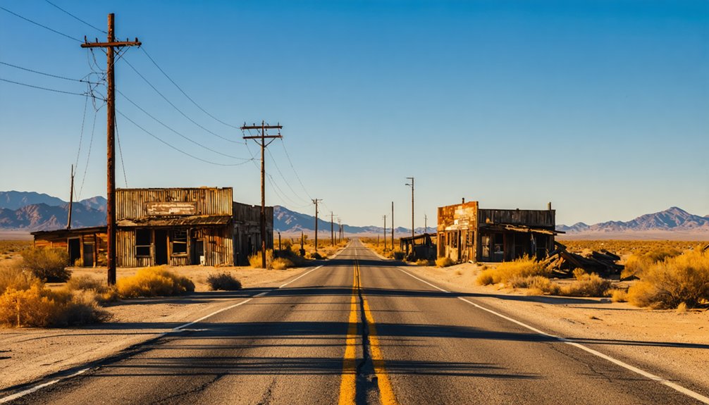
You can visit Termo year-round, but summer gives you the most comfortable conditions for poking around the ruins and taking in the high desert scenery at 5,305 feet.
Winter brings cold temperatures, heavy snow, and road hazards that can make the remote Highway 395 corridor genuinely dangerous.
If you’re planning your ghost town road trip, aim for late spring through early fall to get the best experience without the weather working against you.
Summer Visits Work Best
Although Termo sits at over 5,300 feet in California’s high desert, summer brings the most forgiving conditions for a visit. You’ll move freely through the site, exploring ruins with real historical preservation and cultural significance without fighting ice or snow.
Summer gives you:
- Mild to warm temperatures that make walking the remote railhead comfortable
- Dry, stable roads along Highway 395 for easy self-guided access
- Better visibility of scattered structures, abandoned tanks, and freight house remnants
- Longer daylight hours to explore at your own pace without rushing
Winter snow can make this high desert stretch genuinely harsh. Choosing summer means you spend less time managing conditions and more time connecting with what remains of California’s shortest-lived boom town.
Winter Weather Brings Risks
Winter flips the script at Termo fast. Sitting at 5,305 feet on the remote Modoc Plateau, this ghost town takes winter storms seriously. Snow arrives without much warning, and icy roads can turn your adventure into a dangerous situation quickly.
Highway 395 stays accessible most of the year, but stretches near Termo can become treacherous when temperatures drop. You won’t find nearby services to bail you out if something goes wrong. No gas stations, no tow trucks within easy reach, no shelter worth counting on.
If you’re chasing freedom on the open road, winter visits demand real preparation — chains, emergency supplies, and a current weather check before you leave. The ruins will wait. Don’t let a cold snap cut your trip short.
Other Ghost Towns Near Termo on Highway 395
Termo doesn’t stand alone on this stretch of Highway 395 — the Susanville corridor is dotted with other ghost towns worth folding into your road trip. Each site carries its own cultural significance, showing how railroad decisions and economic shifts shaped and erased communities across the Modoc Plateau.
Railroad decisions didn’t just build communities along the Susanville corridor — they erased them too.
Explore these nearby stops to build a richer journey:
- Madeline – the town that replaced Termo as the railhead in 1901
- Likely – a small community with deep ranching roots and visible historic structures
- Ravendale – a quiet high-desert remnant with preservation efforts still visible
- Standish – another corridor stop reflecting the region’s boom-and-bust agricultural past
Travel this stretch with curiosity. Each roadside ruin adds another layer to northeastern California’s railroad frontier story.
How to Turn Termo Into a Highway 395 Ghost Town Road Trip
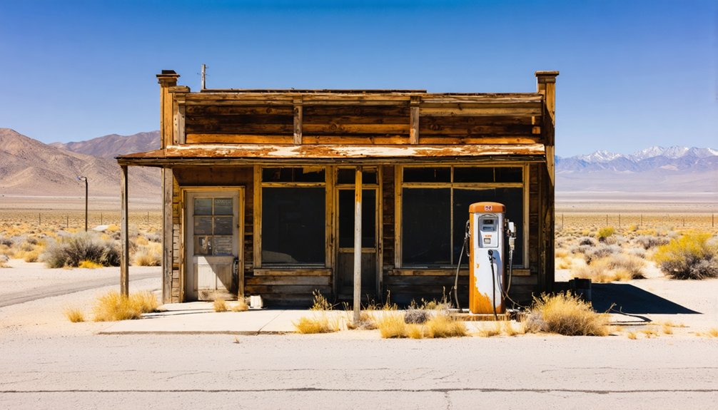
With a little planning, you can turn a stop at Termo into a full Highway 395 ghost town road trip that stretches across the Modoc Plateau. String together nearby abandoned settlements along the corridor, using Susanville as a comfortable base before heading north.
Check weather conditions before you leave, since winter snow can close stretches of the route without much warning. Summer offers the most freedom, though local wildlife like pronghorn and raptors appear year-round across the high desert.
Move at your own pace, stopping wherever a crumbling structure or weathered sign pulls your attention. Carry extra fuel, water, and food, since services thin out quickly once you leave the main towns.
The road itself becomes part of the experience.
What to Bring for a Day Trip to the Termo Ghost Town Site
Once you’ve mapped out your route, packing smart makes the difference between a comfortable visit and a frustrating one. Termo sits at 5,305 feet in a remote high desert with no services nearby, so you’re entirely self-sufficient out there.
Pack these essentials before leaving:
- Water and snacks — no stores exist anywhere close
- Sturdy walking shoes — uneven terrain surrounds the abandoned railroad structures
- Camera or field notebook — document historical artifacts without disturbing preservation efforts
- Layered clothing — temperatures shift quickly at elevation
Resist the urge to touch or remove anything. Preservation efforts depend on visitors treating the site respectfully, leaving historical artifacts exactly where they rest.
Carry everything back out, stay aware of unstable structures, and let the ruins speak for themselves.
Where to Learn About Termo’s Railroad History Before You Visit
Before you drive out to the Modoc Plateau, a little research transforms a roadside stop into a genuinely rich historical experience. Dig into the Nevada–California–Oregon Railway’s history to understand why Termo exploded in 1900 and collapsed just fourteen months later.
Railroad history archives, county historical societies, and California ghost town enthusiast communities online all hold detailed accounts, local legends, and photographs that bring the ruins into focus.
Lassen County historical records document preservation efforts surrounding the site, helping you recognize what remains of the freight house complex and scattered water tanks.
Books covering California’s narrow-gauge railroad frontier provide excellent background context.
Walking those quiet, windswept grounds hits differently when you already know the story behind the “$50,000 folly” waiting at the end of Highway 395.
Frequently Asked Questions
Is There an Entrance Fee to Visit the Termo Ghost Town Site?
You’ll pay no entrance fee — Termo’s yours to explore freely! Wander in for historical preservation insights and wildlife observation surprises lurking around every ruin. It’s a remote, self-guided adventure waiting to unfold on your own terms.
Can You Camp Overnight Near the Termo Ghost Town Location?
You’ll find no designated campground at Termo itself, so check camping regulations for nearby Bureau of Land Management land, where you can often secure overnight accommodations under open skies and enjoy true freedom.
Is Termo Ghost Town on Private Property or Publicly Accessible Land?
The knowledge doesn’t confirm public access at Termo, so you’ll want to research private ownership before exploring. Respecting historical preservation means verifying land status first — don’t assume freedom to roam without checking current property boundaries.
Are There Any Guided Tours Ever Offered at Termo, California?
Don’t let the lack of structure stop you — you’ll actually enjoy Termo’s historical landmarks more independently. No guided tours exist, but you’re free to explore local legends and railroad ruins on your own terms.
Does Termo Have Any Cell Phone Coverage or Roadside Emergency Services?
Don’t count on cell service in Termo’s remote high desert. Emergency services are far away, so you’ll want a satellite communicator, extra supplies, and a full tank before venturing out to this isolated ghost town.
References
- https://www.ghosttowns.com/states/ca/termo.html
- https://www.youtube.com/watch?v=-ZS9Ty4mb5o
- https://www.youtube.com/watch?v=6xHwha0-7F0
- https://kids.kiddle.co/Termo
- https://www.youtube.com/watch?v=XZimpP8h4rY
- https://en.wikipedia.org/wiki/List_of_ghost_towns_in_California
- https://en.wiktionary.org/wiki/Termo
- https://www.youtube.com/watch?v=8tch1uEfrJs



