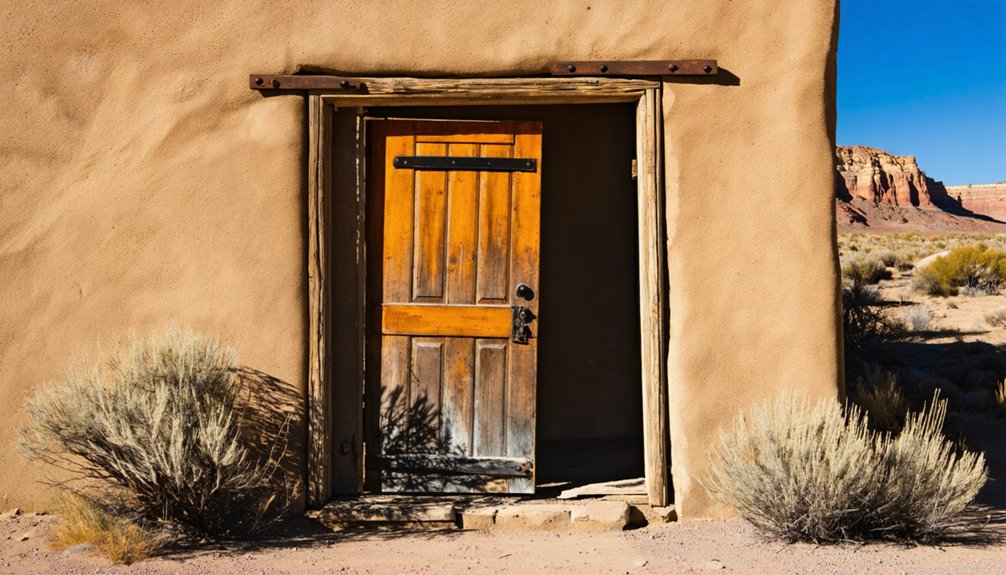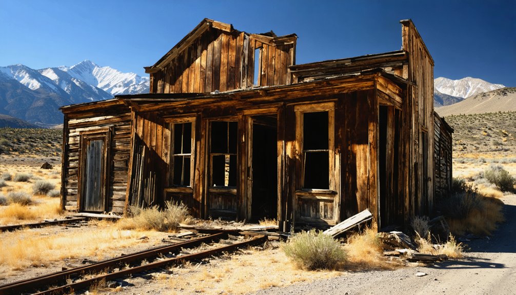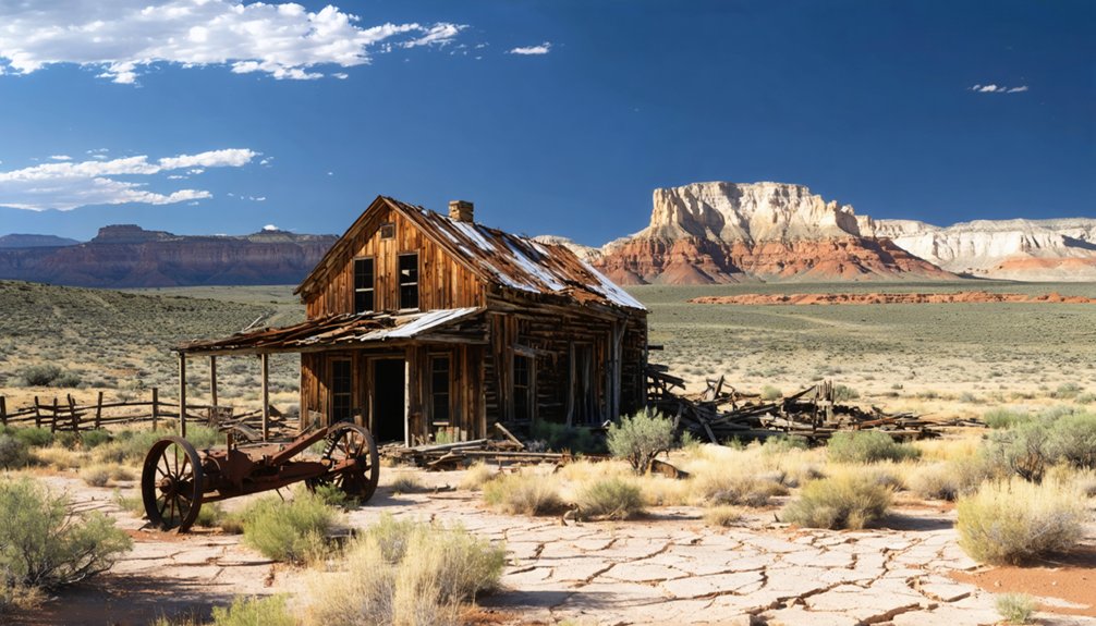
Planning a road trip to Widtsoe, Utah means heading about 24 miles south of Antimony on State Route 22, where this forgotten farming community appears on the east side of the highway around mile 21. You’ll spot remnants of homes, a church, and a school against a stunning high desert backdrop. Bring binoculars since most structures sit behind private fencing. There’s more to this ghost town’s story than what’s visible from the road.
Key Takeaways
- Widtsoe, Utah, is located approximately 24 miles south of Antimony via State Route 22, appearing on the east side around the 21-mile mark.
- Most structures are on private land behind fencing, so bring binoculars and plan to observe the ghost town from a distance.
- The cemetery is the most accessible point of interest, making it the best stop for visitors exploring the site.
- Seasonal weather affects road conditions; avoid winter snow and spring mud by planning your visit during summer or fall.
- Combine your trip with nearby ghost towns like Frisco or Antimony for a layered Utah frontier history experience.
How Widtsoe, Utah Went From Farming Community to Ghost Town
Widtsoe’s story reads like a cautionary tale about the limits of ambition against an unforgiving landscape. Settlers arrived in John’s Valley during the early 1900s, drawn by promises of productive dry farming. John A. Widtsoe, a respected agricultural expert, championed these techniques, inspiring families to build homes, a church, and a school.
But the land fought back. Poor soil, brutal cold, and a devastating 1920 drought crushed crops and broke spirits. Rodent invasions compounded the economic hardship, and residents abandoned their dreams one by one.
By 1936, the Federal Resettlement Administration reclaimed the land entirely.
Today, historical preservation efforts keep these community stories alive. A cemetery, scattered structures, and weathered foundations stand as quiet reminders that freedom sometimes means accepting nature’s final word.
What’s Left of Widtsoe, Utah Today
After the last families left and the government reclaimed the land, Widtsoe didn’t vanish entirely. A few homes, a church and school building, and a cemetery still stand as quiet markers of historical preservation. These remnants connect you directly to the people who once believed this valley could sustain a thriving community.
Modern usage has reshaped what survived. Private owners have renovated several structures into summer cabins, so don’t expect open access. Most of the site sits behind fencing on private land, making visibility limited. The cemetery remains the most accessible point of interest for visitors.
If you’re road-tripping through Garfield County, manage your expectations. Widtsoe rewards curiosity, not convenience. You’ll find solitude, stark beauty, and an honest reminder that not every settlement survives nature’s indifference.
How to Get to Widtsoe, Utah
Getting to Widtsoe takes you through some of Utah’s most striking high desert scenery. Head south on State Route 22, roughly 24 miles from Antimony, Utah. You’ll spot the ghost town on the east side of the highway at about the 21-mile mark.
Keep your eyes open for local wildlife along the route — mule deer and pronghorn frequently cross these open stretches. Seasonal weather plays a serious role in your planning here. Winter snow and spring mud can make access genuinely difficult, so aim for late spring through early fall.
Once you arrive, expect fenced-off private land limiting your exploration. Most structures sit behind barriers, so binoculars help. The remote drive itself rewards you with raw, unfiltered Utah landscape few travelers ever experience.
Why Widtsoe Is Harder to Explore Than It Looks
Arriving at Widtsoe feels like a victory — until you realize the site itself pushes back hard against exploration. Most of what remains — a handful of homes, a church, a school building — sits on private land behind fences. You can’t simply wander through.
Urban decay has claimed much of the town quietly, leaving fragments that are visible only if you know exactly where to look.
Preservation challenges make access even trickier. Some structures have been renovated into summer cabins, meaning current owners actively use and protect the property. Visitors frequently report driving past without realizing they’ve found it.
You’ll see glimpses from State Route 22, but deep exploration isn’t freely available here. Come prepared to observe from a distance rather than roam unrestricted.
Other Utah Ghost Towns Near Widtsoe
Widtsoe doesn’t have to be your only stop — Utah’s ghost town circuit rewards patient explorers willing to push a little further down the road. Each nearby site carries its own historical preservation story and cultural significance worth chasing.
Three ghost towns worth adding to your route:
- Frisco, Utah — Located 15 miles northwest of Milford, this mining ruin offers striking remnants of a silver boom gone bust.
- Antimony, Utah — Just 24 miles north on State Route 22, this quiet settlement holds fragments of early ranching culture.
- Bryce Canyon Gateway Towns — Positioned roughly 16 miles southwest, these communities complement Widtsoe’s agricultural history with a broader regional narrative.
Map your stops deliberately, and you’ll uncover a layered portrait of Utah’s forgotten frontier.
Frequently Asked Questions
Who Was John A. Widtsoe and Why Was He Important?
You’d totally Google him! John A. Widtsoe, a key historical figure, served as University of Utah president and dry-farming expert, shaping geographical landmarks like Widtsoe, Utah, honoring his Mormon community contributions.
What Was the Town Called Before It Became Widtsoe?
Before it became Widtsoe, you’d have known it as Adairville, then Winder, and briefly Houston! These ghost town legends evolved through naming shifts, just like its abandoned buildings weathered time, reflecting the community’s ever-changing identity and pioneering spirit.
Who Originally Founded the Settlement That Became Widtsoe, Utah?
You’ll discover that dry farmer Jedediah Adair originally founded the settlement in 1902, naming it Adairville. His historical architecture and local legends still echo across this hauntingly free, untamed Utah landscape you’re about to explore.
What Rivers or Waterways Are Located Near Widtsoe, Utah?
You’ll find the East Fork of the Sevier River and Sweetwater Creek nearby, shaping vibrant river ecosystems. These waterways once supported settlers and offer you waterway recreation opportunities as you explore Widtsoe’s rugged, untamed landscape freely.
Did the Federal Government Ever Get Involved With Widtsoe’s Land?
Like a hand sweeping the table clean, the Federal Resettlement Administration stepped in, purchasing Widtsoe’s land in 1936, resolving federal land disputes and establishing government land ownership, returning it to public domain for you to explore.
References
- https://en.wikipedia.org/wiki/Widtsoe
- https://www.onlineutah.com/widtsoehistory.shtml
- https://inspiredimperfection.com/adventures/widtsoe-ghost-town/
- https://www.tripadvisor.com/Attraction_Review-g56943-d6677841-Reviews-Widtsoe_Ghost_Town-Bryce_Utah.html
- https://theplaceswherewego.com/widtsoe-ghost-town/
- https://www.youtube.com/watch?v=eV2N4DawgC0
- https://www.deseret.com/2001/7/26/19598145/ghost-town-reawakening/
- https://www.youtube.com/watch?v=NhAtp2KTE3Q
- https://www.dialoguejournal.com/articles/telling-the-tales-and-telling-the-truth-writing-the-history-of-widtsoe/
- https://www.youtube.com/watch?v=acUR5LS2QrE