Planning a ghost town road trip to Era, Idaho means heading into remote Custer County, southwest of Mackay, along Champagne Creek. Founded in 1885 after a silver strike, Era boomed to 1,200 residents before collapsing by 1888. You’ll need a high-clearance vehicle, offline maps, and extra supplies since cell service is nearly nonexistent out here. Visit between late June and September for the best road conditions. Stick around—there’s plenty more to uncover about this forgotten silver rush relic.
Key Takeaways
- Era, Idaho, founded in 1885, is a remote ghost town in Custer County featuring a stone mill foundation and ruins along Champagne Creek.
- High-clearance vehicles are recommended, with offline maps, extra water, a spare tire, and recovery gear essential for safe backcountry access.
- Visit between late June and September for the best road conditions, coinciding with nearby Custer Days in July for added exploration.
- Nearby Custer Ghost Town and the Yankee Fork Gold Dredge offer well-preserved historical sites within a concentrated stretch of Idaho backcountry.
- Base camp in Mackay or Arco, stock up on supplies, and follow Leave No Trace guidelines to protect Era’s historical remnants.
Era, Idaho: A Silver Rush Ghost Town That Lasted Three Years
When silver fever swept through central Idaho in 1885, Era burst onto the scene almost overnight after miners struck ore at the Silver Horn Mine. Within months, 1,200 residents called it home, building saloons, stores, and an assay office that buzzed with silver mining activity.
Engineers even constructed a 20-stamp mill south of town to crush ore around the clock.
A thundering 20-stamp mill ran day and night, relentlessly crushing silver ore into Era’s fleeting fortune.
But Era’s story is one of ghost towns’ harshest lessons — the ore body pinched out by 1888, leaving the town hollow after just three years. Residents dismantled buildings and hauled them to nearby Arco, stripping Era down to its bones.
Today, only the mill’s stone foundations remain, silent markers of a silver rush that burned fast and disappeared completely.
Where Is Era, Idaho?
You’ll find Era tucked away in remote Custer County, Idaho, southwest of Mackay in the rugged terrain that defines this corner of the state.
The ghost town sits along Champagne Creek, a waterway renamed after a local rancher and now your primary navigational landmark for reaching the site.
Follow the creek southwest from Mackay, and you’ll trace the same route that once connected Era’s miners to the broader world beyond their short-lived silver boomtown.
Custer County Remote Location
Era, Idaho sits tucked away in a remote corner of Custer County, roughly southwest of Mackay along the winding path of Champagne Creek.
This remote wilderness setting isn’t accidental — miners sought isolation when chasing silver strikes, and Era’s mining history reflects that frontier spirit perfectly.
You’ll need to plan your route carefully, as unpaved roads and rugged terrain demand a high-clearance vehicle.
Arco serves as your nearest established base, offering modern conveniences before you venture deeper into the backcountry.
The Forest Service manages much of the surrounding land, so checking road conditions before you head out keeps your trip on track.
Once you arrive, you’ll find a landscape that feels genuinely untamed, exactly the kind of freedom-filled destination worth the extra effort to reach.
Southwest Of Mackay
Finding Era, Idaho means pointing your vehicle southwest of Mackay and following the path carved by Champagne Creek through Custer County’s rugged backcountry. The remote setting rewards adventurous travelers with scenic views and wildlife sightings you won’t find near busier highways.
Use these landmarks to orient your journey:
- Mackay serves as your launching point and last reliable fuel stop.
- Champagne Creek traces your route southwest through forested terrain.
- Unpaved roads require a high-clearance vehicle for safe passage.
- Custer County’s backcountry surrounds the site with open wilderness.
Check Forest Service road conditions before departing.
The isolation that swallowed Era in 1888 still defines this landscape today, making your arrival feel genuinely earned.
Champagne Creek Access Point
Champagne Creek serves as your natural guide to Era, with the waterway itself marking the access corridor southwest of Mackay into Custer County’s backcountry. The creek, renamed after a local rancher following Era’s abandonment, carries its own ghost town legends alongside its current.
You’ll follow unpaved roads through forested terrain, so bring a high-clearance vehicle and check current Forest Service conditions before heading out. The route rewards your effort with genuine solitude and authentic historical preservation — stone mill foundations that outlasted every wooden structure the miners built.
Unlike polished tourist destinations, this access point drops you directly into Idaho’s raw mining history. Arco serves as your nearest supply stop before venturing into the backcountry toward Era’s scattered remnants.
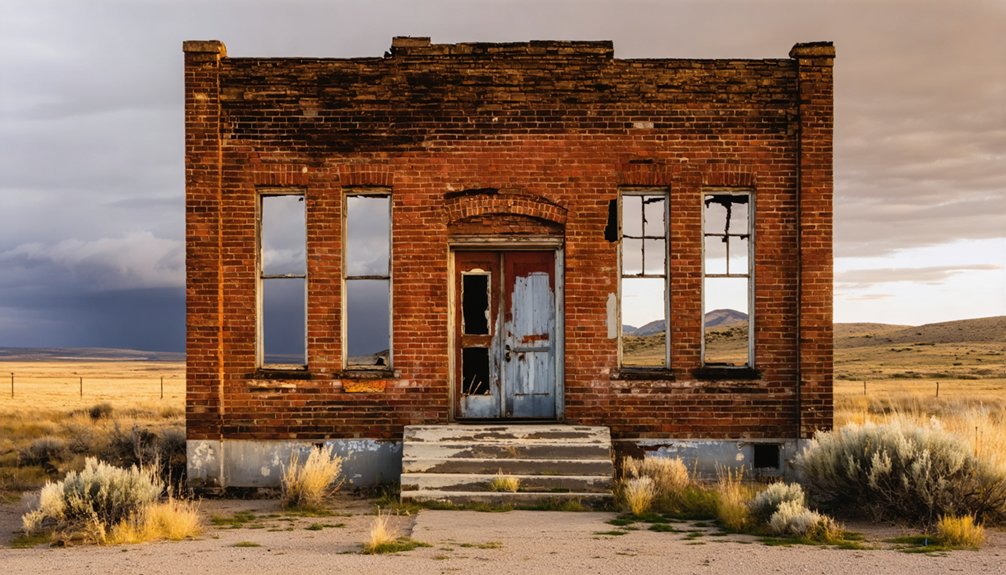
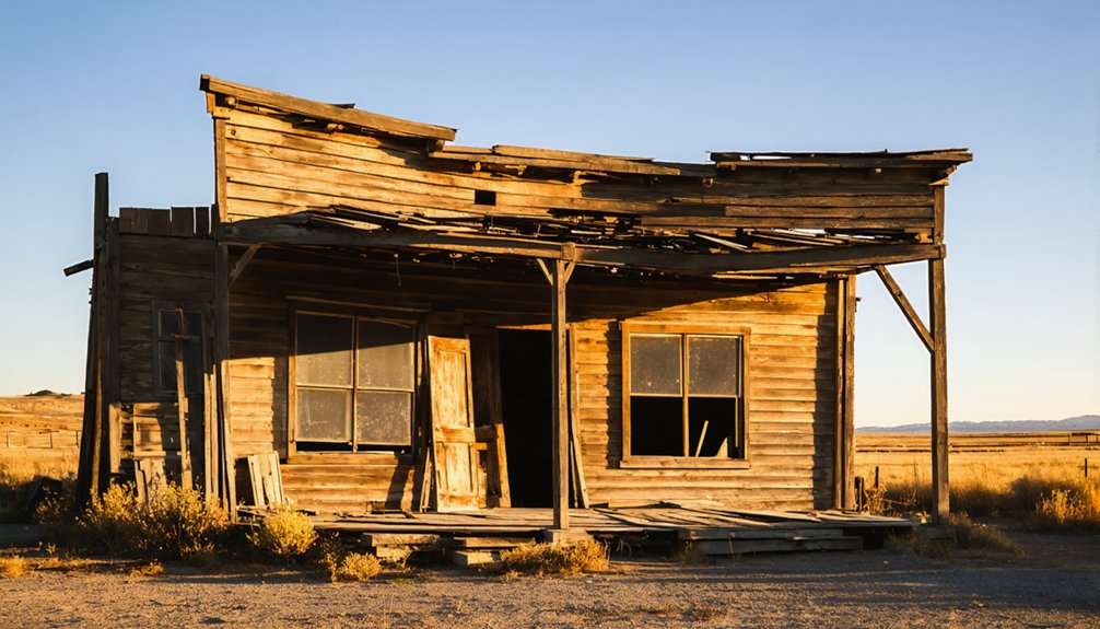
What Remains at the Era Ghost Town Site Today?
After just 3 years of boom-time activity, Era left behind only a handful of durable reminders of its once-bustling existence.
These ghost town remnants carry real historical significance, giving you a tangible connection to Idaho’s silver rush days.
Here’s what you’ll discover on-site:
- Stone mill foundation – The 20-stamp dry crusher mill’s rock base still stands, anchoring the entire site.
- Scattered town layout traces – You can walk the rough footprint where 1,200 residents once lived and worked.
- Relocated building evidence – Notice the empty lots where structures were physically hauled away to Arco.
- Champagne Creek backdrop – The renamed creek flows beside the ruins, framing the landscape beautifully.
Bring your curiosity — there’s more history here than first meets the eye.
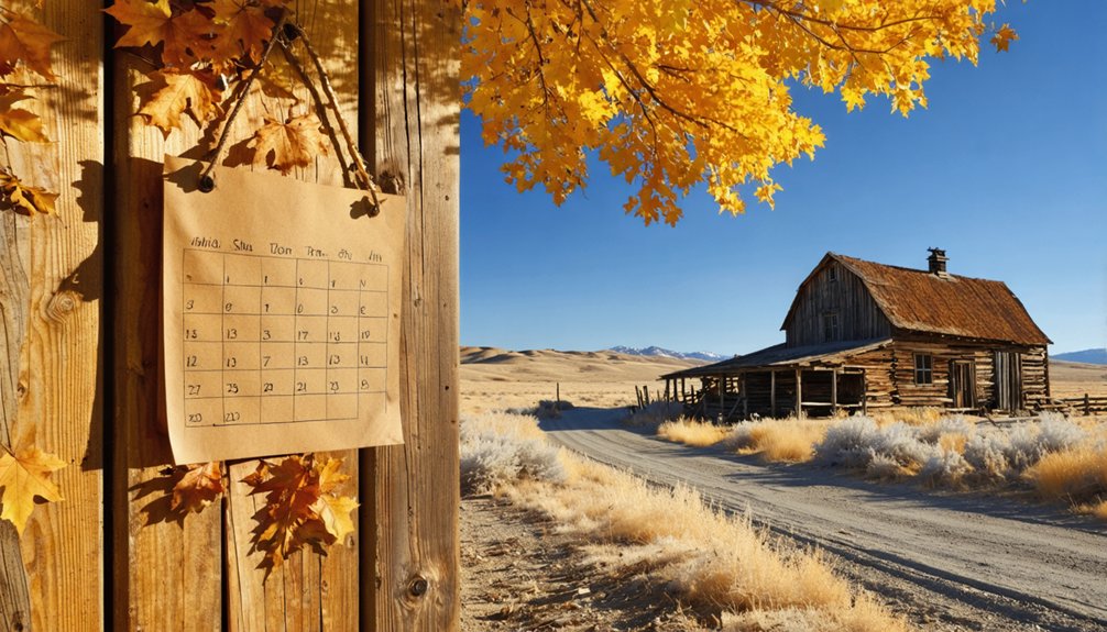
Best Time of Year to Visit Era, Idaho
Timing your visit to Era makes a real difference in what you’ll experience at this remote Custer County site.
The best visiting season runs from late June through September, when ideal weather conditions keep the unpaved roads passable and snow-free. Summer days stay warm and clear, giving you full visibility of the stone mill foundations and surrounding terrain.
Late June through September offers the best conditions for visiting Era, with passable roads and clear summer days.
July pairs perfectly with nearby Custer Days, letting you maximize your historical exploration in a single trip.
Spring can mean muddy, rutted roads, while winter closes access entirely. Fall brings stunning color to the forested landscape but arrive early in the season before October snowfall cuts your access short.
Whatever month you choose, always check current Forest Service road conditions before heading out.
How to Reach Era From Mackay and Arco
Once you’ve locked in your travel window, getting to Era becomes your next puzzle to solve. Two jumping-off points give you access to this slice of ghost town history nestled along Champagne Creek.
From Mackay: Head southwest, following Champagne Creek through open terrain toward the mill ruins.
From Arco: Drive northeast along scenic routes connecting the atomic city to Era’s former townsite.
Before leaving, prepare yourself with these essentials:
- Confirm road conditions with the local Forest Service office
- Pack a high-clearance vehicle for unpaved stretches
- Download offline maps since cell service disappears fast
- Fuel up completely in Mackay or Arco before departing
Neither route disappoints. You’re trading pavement for purpose, chasing foundations and forgotten stories through Idaho’s rugged backcountry.
Road Conditions and What Vehicle You’ll Need
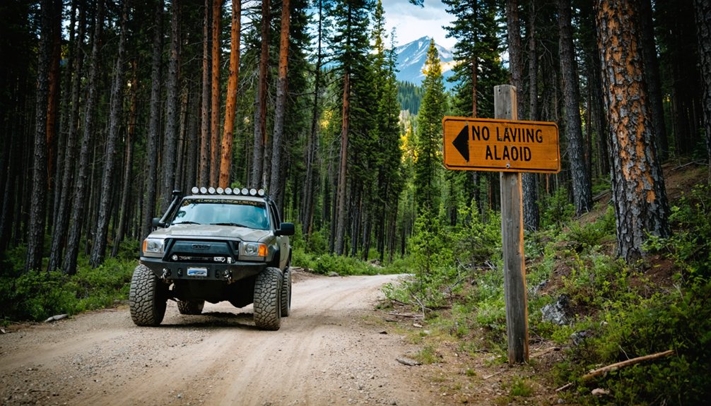
The road to Era doesn’t coddle you — unpaved stretches, creek crossings, and loose gravel demand a high-clearance vehicle, and a 4WD truck or capable SUV gives you the confidence to handle whatever the backcountry throws at you.
Before heading out, contact the Forest Service for current road conditions, since seasonal closures and washouts can shut down access entirely.
Contact the Forest Service before you go — seasonal closures and washouts can shut down access without warning.
Road safety means going prepared, not hopeful. Pack extra water, a spare tire, and basic recovery gear.
Champagne Creek Road can turn slick after rain, and soft shoulders offer little forgiveness. Your vehicle recommendations should prioritize ground clearance over comfort — this isn’t pavement country.
Respect the terrain, take your time, and you’ll roll into Era’s ghost town ruins exactly as planned.
Nearby Ghost Towns Worth Adding to Your Route
While you’re in the area, you’d be doing yourself a disservice to skip the nearby ghost towns that round out this region’s rich mining history.
Custer Ghost Town, once home to over 300 residents, sits along the Yankee Fork and offers well-preserved ruins with interpretive signage that brings the boomtown era to life.
If you’re hungry for more, the Mackay mining district adds several worthwhile stops that paint a fuller picture of how silver and gold shaped central Idaho’s rugged landscape.
Custer Ghost Town Nearby
If you’re already making the trek out to Era, adding Custer ghost town to your route is a no-brainer.
Custer history runs deep in this region, and ghost town preservation efforts here give you more to explore than Era’s scattered foundations alone.
Here’s what you’ll find at Custer:
- A peak population of 300+ residents during its silver-mining heyday
- Preserved structures that paint a vivid picture of frontier life
- Connections to the Yankee Fork Historical Association, which actively maintains the site
- Proximity to the annual Custer Days event every July, celebrating regional mining heritage
Custer sits within the same rugged Idaho backcountry, making it a natural pairing for your road trip without greatly extending your drive time.
Yankee Fork Historical Sites
Yankee Fork packs several compelling ghost town stops into one concentrated stretch of Idaho backcountry, making it an easy extension of your Era visit.
You’ll find historic mining landmarks scattered along scenic drives that reward both cultural heritage enthusiasts and photography opportunities seekers alike. The Yankee Fork Gold Dredge stands as one of Idaho’s most striking historical landmarks, where gold mining operations once reshaped the riverbed entirely.
You can explore outdoor activities ranging from hiking to fishing while spotting local wildlife along the corridor. The scenery exploration alone justifies the detour, with rugged peaks framing abandoned structures at every turn.
The Yankee Fork Historical Association actively preserves these sites, giving you rich context for understanding how boom-and-bust mining cycles shaped this remote corner of Idaho.
Mackay Mining District Stops
Pulling away from the Yankee Fork corridor, you’ll find the Mackay Mining District waiting just to the north with its own collection of ghost town stops worth folding into your route.
This area carries deep historical significance, giving you a richer understanding of Idaho’s silver and copper boom years.
Add these four stops to your Mackay Mining stretch:
- Mackay townsite — explore preserved mining-era architecture and local museum exhibits
- Lost River Range overlooks — dramatic backdrops framing the district’s rugged scale
- White Knob Mountains trail access — leads toward abandoned mine shafts and ore dumps
- Era ghost town ruins — your primary destination, featuring the stone mill foundation along Champagne Creek
Each stop builds on the last, creating a connected, rewarding journey through authentic mining history.
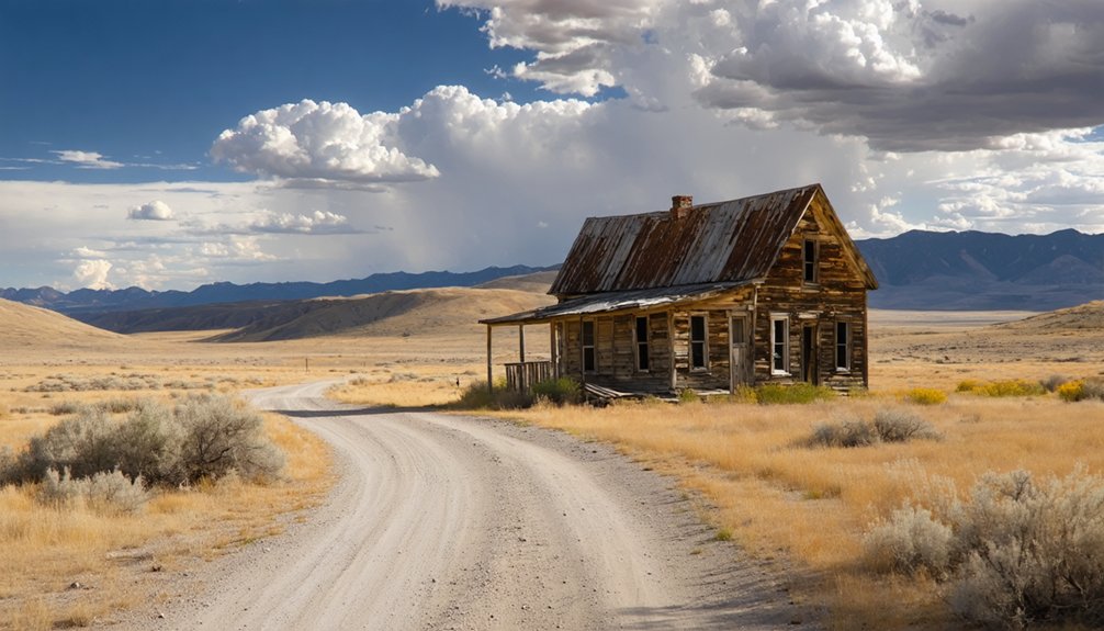
Using Mackay or Arco as Your Base for Visiting Era
Both Mackay and Arco make solid base camps for exploring Era, each offering a slightly different angle on the region’s mining history.
Mackay puts you closer to the ghost town‘s southwestern approach along Champagne Creek, and it connects you directly to the broader Mackay mining district. You’ll feel Era’s history more immediately from here.
Arco, meanwhile, earned its place in the story when Era’s residents relocated many of their buildings there after the ore body pinched out in 1888. It’s also the first city ever lit by atomic power, so you’re stacking two compelling stops into one.
Arco earned its place twice over — first as Era’s heir, then as the first city lit by atomic power.
Whichever town you choose, stock up on supplies, confirm road conditions with the Forest Service, and bring a high-clearance vehicle before chasing these ghost towns into the backcountry.
Leave No Trace Rules and Access Restrictions at Era
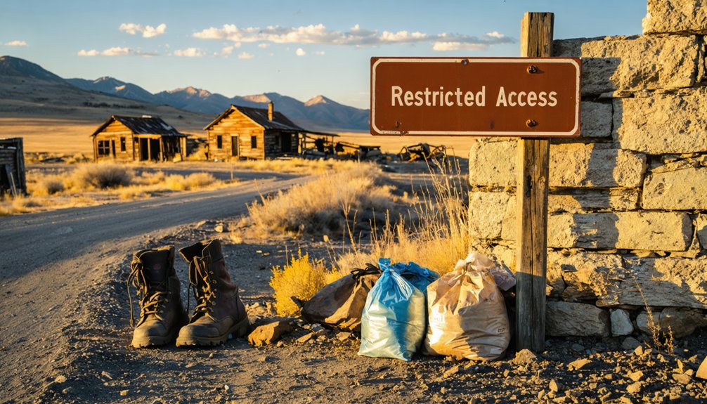
Because Era’s stone mill foundations are all that remain of a town that vanished in just three years, you’ll want to treat the site with the kind of respect that keeps it intact for the next visitor.
Follow Leave No Trace principles and Access Guidelines to protect what little survives:
- Pack out everything you bring in — no trash stays behind on this remote Champagne Creek site.
- Don’t disturb the rock foundations — climbing or removing stones accelerates irreversible deterioration.
- Stay on established paths — off-trail movement damages buried historical remnants beneath the soil.
- Check Forest Service restrictions before visiting — seasonal closures or permit requirements may apply to this Custer County area.
Respecting these boundaries means Era’s surviving story remains readable for every explorer who follows you.
Frequently Asked Questions
Were Any Silver Artifacts or Tools Ever Recovered From the Era Site?
The records don’t confirm specific silver mining artifact recovery from Era’s site. You’ll find only stone mill foundations remaining, as residents actively relocated most tools and structures to Arco when they abandoned the town in 1888.
Did Era, Idaho Have a Post Office During Its Three Years of Operation?
Precise post office history for Era community isn’t confirmed in available records. You’d find this fleeting frontier town lived and died fast, but checking Idaho postal archives could uncover whether Era ever claimed that civic distinction.
How Many of Era’s Original Buildings Were Successfully Relocated to Arco?
The exact number isn’t documented, but you’ll find that building preservation efforts faced significant relocation challenges as many of Era’s structures were moved to Arco, leaving only durable stone mill foundations behind for you to explore.
Are Guided Tours of the Era Ghost Town Ruins Currently Available?
Like a hidden gem waiting to be discovered, no official guided tours exist for Era’s ghost town history. You’ll enjoy independent guided exploration, so check with Forest Service rangers for current access details before adventuring out.
Was the Silver Horn Mine Ever Reopened After Era’s 1888 Abandonment?
The available records don’t confirm the Silver Horn Mine ever reopened after Era’s 1888 abandonment. Once the ore body pinched out, silver mining ceased, leaving you with only this fascinating ghost town’s stone foundations to explore.
References
- https://www.youtube.com/watch?v=tdF-Fq0UrR4
- https://www.ghosttowns.com/states/id/era.html
- https://www.youtube.com/watch?v=bijPI1s7ilI
- https://history.idaho.gov/wp-content/uploads/2018/08/0064.pdf
- https://ptrca.org/2003hertel/
- https://www.fs.usda.gov/r01/idahopanhandle/recreation/idaho-gold-and-ruby-mine-boulder-city-ghost-town
- https://en.wikipedia.org/wiki/List_of_ghost_towns_in_Idaho