Planning a ghost town road trip to Atwood, Ohio means chasing a village that’s literally underwater. In the mid-1930s, the Muskingum Watershed Conservancy District deliberately flooded Atwood to create a flood-control reservoir, submerging homes, churches, and railroad tracks beneath 1,540 acres of lake. During fall and winter drawdowns, you can actually spot those sunken ruins emerging from the lakebed. Two historic cemeteries and a dedication plaque still mark the site above water, and there’s far more to discover here than you’d expect.
Key Takeaways
- Atwood, Ohio, was deliberately flooded in 1936 by the Muskingum Watershed Conservancy District to create a flood-control reservoir covering 1,540 acres.
- Visit during fall or early winter drawdowns when submerged railroad tracks, foundation stones, and artifacts become visible along the lakebed.
- Access the site via shoreline pull-offs along SR 542 and Fargo Rd, using maps since signage is minimal.
- Big Spring Cemetery on SR 542 and Zion Cemetery on Falls Rd survived flooding and offer insight into local families.
- A village dedication plaque at SR 542 and Fargo Rd marks the historic site of the vanished town.
What Was Atwood, Ohio Before It Vanished?
Before it disappeared beneath the surface of Atwood Lake, this quiet Carroll County settlement had a surprisingly full life. You’d have found a post office, churches, a school, and local stores anchoring the community.
Originally called Oak Dale in the 1820s, the settlement later took the name Atwood and grew into a modest farming and railroad hub.
Historic transportation shaped daily life here. Residents flagged down trains on the Cleveland, Canton, and Southern Railroad, using a lantern after dark to signal for a stop.
Though the town was never platted or incorporated, it functioned like any small Ohio village.
Today, ghost town architecture surfaces only during low-water seasons, when foundations and rail traces briefly reappear, giving you a rare glimpse into what once thrived here.
How Atwood Lake Swallowed a Whole Village
What wiped Atwood off the map wasn’t slow decay or economic collapse — it was deliberate. In the mid-1930s, the Muskingum Watershed Conservancy District condemned the land and cleared out the entire community to make way for a flood-control reservoir.
Atwood wasn’t abandoned — it was condemned, cleared, and deliberately drowned to make way for a reservoir.
Residents lost their homes, their churches, and their connection to a place rooted in the 1820s.
The Atwood Dam on Indian Fork was completed in September 1936, and the rising water buried everything. Historical artifacts — foundation stones, railroad tracks — vanished beneath 1,540 acres of lake.
Local legends say you can still feel the town’s presence when water levels drop in fall or winter, briefly exposing the lakebed. You’re not just visiting a lake — you’re standing over a community the government chose to erase.
What’s Actually Left of the Atwood Ghost Town Today?
When water levels drop in fall or winter, you can spot railroad tracks and foundation stones emerging from the lakebed, offering a rare glimpse into Atwood’s submerged past.
Most of the original structures remain permanently underwater, so low-water periods are your best window for seeing any physical traces of the old village.
If you want above-water connections to the community, head to Big Spring Cemetery and Zion Cemetery, both of which survived the flooding and still stand along SR 542 and Falls Rd respectively.
Submerged Village Remnants
Though most of Atwood’s original structures now rest silently beneath Atwood Lake, the ghost town hasn’t completely vanished. When water levels drop during fall or winter drawdowns, you can actually spot railroad tracks and foundation stones emerging from the lakebed — raw historical artifacts that survived decades of submersion.
These fleeting glimpses connect you directly to a community that simply disappeared overnight once the Muskingum Watershed Conservancy District condemned the land in the mid-1930s. Local legends suggest the old railroad station area becomes visible during significant drawdown periods, rewarding patient visitors who time their trips right.
You’re fundamentally reading a drowned landscape, piecing together a village that once had stores, churches, and a flag-stop railroad before the rising waters of Atwood Dam erased it permanently.
Surviving Cemeteries Nearby
While the lake swallowed most of Atwood’s built environment, two cemeteries survived the flooding and stand today as the clearest, most tangible connections to the former community. Big Spring Cemetery sits along SR 542, marking the edge of what was once a living neighborhood. Nearby, Zion Cemetery on Falls Rd offers another anchor to Atwood’s past.
Both sites preserve historical architecture in their stonework and markers, giving you something real to read and photograph. Local legends surrounding the old Big Spring Church, now submerged just beyond the cemetery’s edge, add a haunting layer to your visit.
Zion Church itself burned in a grass fire in 1930, never making it to the waterline. These cemeteries aren’t just burial grounds — they’re your strongest footholds into Atwood’s vanished world.
The Atwood Cemeteries That Survived the Flood
Although most of Atwood now rests beneath the lake’s surface, two cemeteries beat the flood and still stand today as the clearest surviving links to the lost community. Big Spring Cemetery sits along SR 542, where local legends connect the surrounding landscape to the village’s early farming roots.
The historic architecture of nearby structures hints at the settlement’s modest but determined character. Zion Cemetery, located on Falls Rd, also survived, though its companion, Zion Church, wasn’t as fortunate — a grass fire claimed it in 1930, years before the reservoir even arrived.
Walking these grounds gives you a rare, tangible connection to Atwood’s story. They’re quiet, accessible, and worth your time when you’re piecing together what this ghost town once was.
What to Look for Along SR 542 and Fargo Rd?
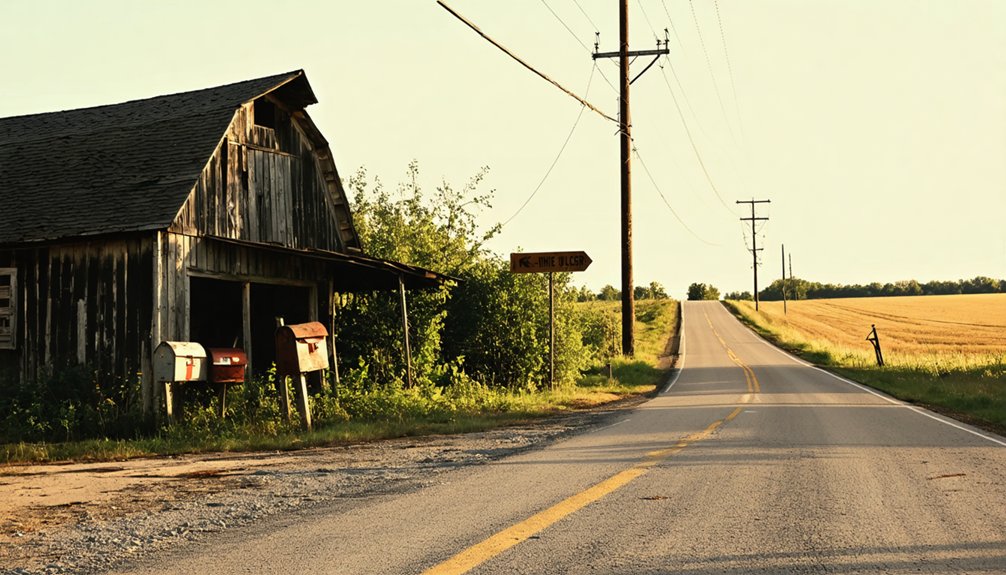
When you reach the intersection of SR 542 and Fargo Rd, look for the village dedication plaque that marks where Atwood once stood.
Just up SR 542, you’ll find Big Spring Cemetery, one of the most tangible reminders of the community that now rests beneath the lake.
If you’re visiting during fall or winter drawdown, scan the water’s edge for exposed foundation stones and old railroad traces that briefly resurface from the lakebed.
Village Dedication Plaque Location
If you’re driving along SR 542, keep an eye out for the village dedication plaque standing at the corner of SR 542 and Fargo Rd — it’s one of the clearest above-water markers linking the modern landscape to the sunken community below.
This modest but meaningful historical artifact honors the people who once called Atwood home before the Muskingum Watershed Conservancy District condemned their land in the 1930s.
Pull over and take a moment here. Local legends tied to this spot echo stories of neighbors forced to leave farms, churches, and businesses behind as rising waters swallowed everything.
The plaque grounds those stories in something tangible. It’s your starting point for understanding what Atwood was — a real, breathing community — before the reservoir erased it from the map.
Big Spring Cemetery Stop
Just a short distance from the dedication plaque, Big Spring Cemetery sits along SR 542 as one of the most tangible survivors of old Atwood’s landscape. Walk among the headstones and you’ll connect directly with the families who built this farming and railroad community long before the reservoir swallowed it.
These graves represent some of the most meaningful historical artifacts remaining above the waterline. The nearby Big Spring Church once anchored this same stretch of land, but it now rests beneath Atwood Lake.
Preservation efforts have kept the cemetery maintained and accessible, giving you a rare, grounded link to a vanished world. Bring water, wear sturdy shoes, and take your time reading the stones — each one tells a piece of Atwood’s story that the lake couldn’t erase.
Spotting Submerged Remnants
From the quiet solitude of Big Spring Cemetery, you’re already standing at the edge of what Atwood once was — now it’s time to look toward the water itself.
During fall and winter drawdowns, Atwood Lake reveals historical artifacts hiding beneath its surface — railroad track remnants and foundation stones that once anchored a living community.
Head to the intersection of SR 542 and Fargo Rd, where a dedication plaque marks the ghost town’s footprint.
Scan the exposed lakebed carefully; local legends suggest the old railroad station area surfaces during significant water reductions.
Pull off near the shoreline and study the waterline closely.
These fleeting glimpses reward patient visitors who time their trip around low-water conditions, connecting you directly to Atwood’s submerged story in a way no photograph ever could.
When to Visit Atwood to See the Ruins
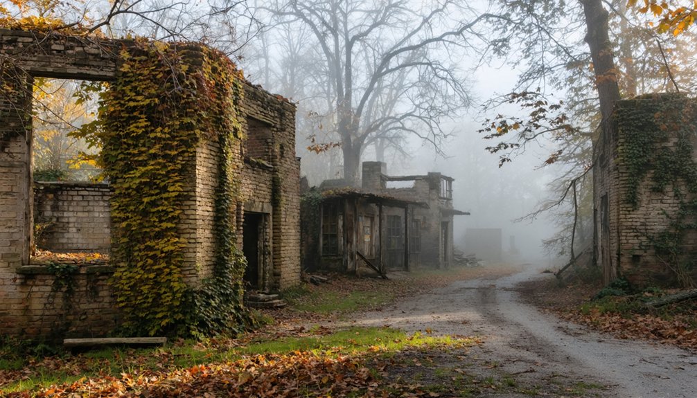
Timing your visit to Atwood makes all the difference between seeing an open lake and catching a rare glimpse of the submerged village beneath it. Plan your road trip for fall or early winter, when the Muskingum Watershed Conservancy District typically draws down water levels for flood-control management.
During these low-water periods, historical artifacts and preserved structures emerge from the lakebed — exposed foundation stones and old railroad tracks surface in ways they simply won’t during warmer months. You’ll want to check current lake levels before heading out, since conditions shift yearly.
Early morning visits offer the clearest sightlines across the exposed flats. Pair your timing with a stop at the SR 542 and Fargo Rd dedication plaque to ground the experience in Atwood’s documented history.
How to Get to the Atwood Ghost Town Site
From that intersection, you can walk or drive along SR 542 toward the lake’s edge, where pull-offs give you direct sightlines over the water. During low-water periods, foundation stones and railroad remnants emerge along the lakebed, rewarding your effort.
Nearby, Big Spring Cemetery on SR 542 stands as a quiet anchor for historic preservation, connecting you physically to the people who once called Atwood home. Keep your map handy — signage is minimal.
What’s Around the Atwood Site Worth Stopping For?
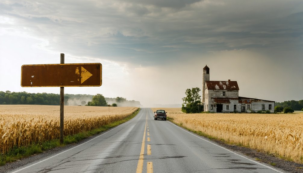
Combine your visit with these nearby stops:
- Big Spring Cemetery on SR 542 for historic architecture fragments and local folklore tied to early settlers.
- Atwood Lake shoreline pull-offs for low-water views of submerged foundations.
- SR 542 and Fargo Rd intersection to read the village dedication plaque.
- Atwood Lake recreation areas for fishing, hiking, and wildlife.
- Carroll County’s rural backroads for broader context on Ohio’s flood-control history.
Each stop deepens the story beyond what’s underwater.
Frequently Asked Questions
Was Atwood, Ohio Ever Officially Incorporated as a Town?
No, Atwood was never officially incorporated! You’ll find no formal town charter tied to this haunt of historical landmarks and local legends — it remained an unplatted, free-spirited settlement until floodwaters swallowed its soul.
What Was Atwood Originally Called Before It Became Atwood?
Ever wonder about a town’s roots? You’ll find Atwood’s historical naming traces back to Oak Dale in the 1820s. This early identity shaped the settlement’s town development before it transformed into the Atwood you’re exploring today.
How Many Acres Does Atwood Lake Cover Today?
Today, you’ll find Atwood Lake covers about 1,540 acres, making it one of Ohio’s fascinating tourist attractions. It’s steeped in local legends of a submerged ghost town waiting beneath its hauntingly beautiful waters.
Which Railroad Line Served the Atwood Flag-Stop Station?
You’ll find that the Cleveland, Canton, and Southern Railroad served Atwood’s flag-stop station, a key piece of railroad history. Its flag stop significance shines through the lantern locals used at night to signal passing trains.
How Long Did Atwood’s Post Office Actually Operate?
Like a flickering flame, Atwood’s historical postal services burned briefly—you’ll find it operated just 27 years, from 1888 to 1915. That’s a fascinating detail to fuel your ghost town tourism adventure exploring this submerged Ohio settlement!
References
- https://www.facebook.com/groups/202347880517398/posts/357944121624439/
- https://ohioghosttowns.wordpress.com/carroll-county/
- https://www.worldatlas.com/lakes/atwood-lake-ohio.html
- https://en.wikipedia.org/wiki/List_of_ghost_towns_in_Ohio
- https://www.facebook.com/100091592894862/posts/atwood-formerly-known-as-oak-dale-was-a-small-community-located-in-monroe-townsh/674558862273871/
- https://kids.kiddle.co/List_of_ghost_towns_in_Ohio
- https://projects.thepostathens.com/SpecialProjects/ohios-hidden-history-ghost-towns-mining/