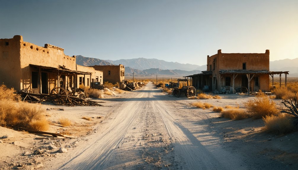
Planning a ghost town road trip to Chanz, California means heading into Kern County’s rugged backcountry where history barely left a trace. You’ll want to research ahead through the Kern County Historical Society and USGS topographic maps before you go. Pack at least a gallon of water per person daily, check road conditions, and download offline maps. Chanz rewards curious, self-sufficient travelers — and there’s far more to uncover about making this remote journey worthwhile.
Key Takeaways
- Research Chanz through the Kern County Historical Society, Beale Memorial Library, and USGS topographic maps before visiting, as records are scarce.
- Pair Chanz with nearby documented ghost towns like Calico or Randsburg for resupply stops and richer historical context.
- Pack at least one gallon of water per person daily, non-perishable food, a first-aid kit, and emergency vehicle supplies.
- Share your route and estimated return time with someone reliable, and carry a satellite communicator where cell service is unavailable.
- Check weather forecasts and current road conditions before departure, and download offline maps with verified GPS coordinates for navigation.
What Is Chanz and Why Does So Little Documentation Exist?
Chanz shows up on California ghost-town lists as a Kern County settlement, yet dig into the historical record and you’ll find almost nothing concrete about when it was founded, who lived there, or why it was abandoned. Those documentation gaps aren’t unusual — California holds nearly 300 ghost towns, and many smaller settlements never generated newspapers, land surveys, or photographs that survived.
Historical accuracy matters when you’re planning a trip around a place. You don’t want to drive remote Kern County roads expecting a restored attraction only to find unmarked scrubland. Before you visit, check with the Kern County Historical Society, consult old USGS maps, and verify road conditions independently.
Chanz rewards curiosity, but it demands that you research it honestly rather than romanticize it.
How to Research Chanz Before You Drive Out
Knowing those documentation gaps exist puts you ahead of most visitors — and it points directly toward where you should look before you load the car.
Start with the Kern County Historical Society and the Beale Memorial Library in Bakersfield — both hold local archives that may surface maps, mining records, or newspaper clippings tied to Chanz.
Historical verification often comes from USGS topographic maps, which can confirm a settlement’s location even when written records are scarce.
California’s State Mining Bureau reports are another underused source.
Online, cross-reference ghost-town databases against county assessor records.
Before you drive out, also check recent forum posts from off-road communities — they’ll flag road conditions and access issues that no official source will tell you.
Why Kern County Is Full of Forgotten Mining Towns
Kern County sits at the geographic crossroads of California’s two great mining corridors — the Sierra Nevada foothills to the north and the Mojave Desert to the east — which made it a magnet for prospectors chasing gold, silver, and oil from the 1850s onward.
Boom camps appeared fast, drawing workers, merchants, and families who built entire communities around a single resource. When mining decline hit — whether from exhausted veins, falling commodity prices, or shifting rail routes — those communities emptied just as quickly.
Many left behind only foundations, rusted equipment, and historical gaps that local records never filled. That’s exactly the landscape you’re stepping into when you head toward Chanz.
Kern County doesn’t preserve every story, which makes exploring it feel like genuine discovery rather than a scripted tour.
Planning Your Chanz Road Trip as Part of a Central California Loop
Because Chanz doesn’t offer confirmed visitor services, you’ll get more out of the trip by folding it into a Central California ghost-town loop rather than treating it as a standalone destination. Pair it with better-documented stops like Calico or Randsburg, where you can refuel, resupply, and ground yourself in verified mining history before venturing into more remote terrain.
Chanz rewards curiosity rather than comfort. Bring your own water, check road conditions before leaving, and download offline maps.
Local legends and historical speculation surround many Kern County ghost towns, and Chanz is no exception — just don’t expect signage or infrastructure to back any of it up.
A multi-stop loop keeps the trip practical, letting you explore freely without depending on a single underdocumented site to carry the entire experience.
Other Kern County Ghost Towns Worth Combining With Chanz
Chanz sits inside a county rich with abandoned settlements, so you won’t have to travel far to build a fuller itinerary. Kern County holds several forgotten communities tied to California’s mining relics and ghost town legends, giving you natural companion stops along any central route.
Kern County surrounds Chanz with forgotten settlements, making every detour a chance to deepen your ghost town story.
Randsburg, sitting near the Kern-San Bernardino border, still carries a living pulse with roughly 70 residents and preserved storefronts worth exploring.
Ballarat, deeper into the desert, offers raw ruins that reward photographers and history seekers willing to push off paved roads.
Combining these stops with Chanz creates a layered narrative across decades of boom-and-bust settlement.
Check road conditions before each leg, carry extra fuel and water, and treat every stop as a separate research opportunity worth your full attention.
What Visitors Actually Find at Chanz Today
Shifting from nearby companion stops to the destination itself raises a fair question: what’s actually waiting for you at Chanz? Honestly, the answer requires candid expectations.
Chanz is a research-poor site, meaning verified historical artifacts, intact structures, or interpretive signage aren’t confirmed by available sources. You won’t find visitor facilities like restrooms, water stations, or posted hours.
What you may encounter are scattered remnants typical of Kern County’s mining-era settlements — weathered foundations, overgrown lots, and terrain shaped by decades of abandonment. That raw, unmediated quality is precisely what draws independent travelers seeking authentic ghost-town experiences over curated attractions.
Before you go, verify road conditions, carry your own water and fuel, and cross-reference GPS coordinates with local historical society records to confirm you’ve found the right location.
Desert Supplies and Safety Checks Specific to Remote Kern County Sites
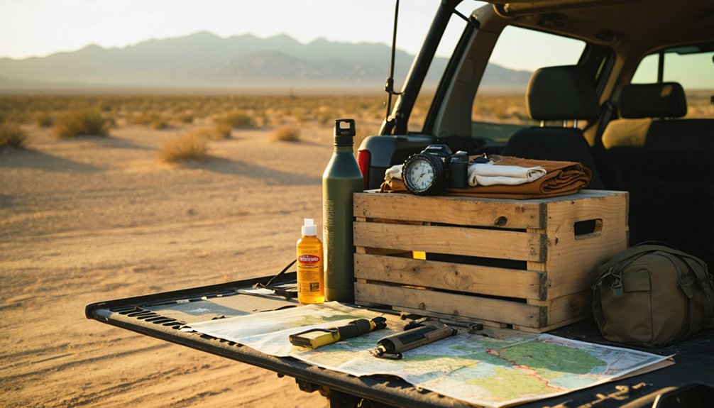
Before you head out to Chanz, pack the essentials that remote Kern County terrain demands: at least a gallon of water per person per day, non-perishable food, a paper map, a first-aid kit, and a charged portable battery.
You’ll also want to call ahead to local ranger stations or check road-condition reports, since unpaved access routes can shift dramatically after rain or wind events.
Don’t leave the pavement without confirming your GPS coordinates, topping off your fuel tank, and telling someone your planned route and return time.
Essential Desert Supply Checklist
Heading into remote Kern County desert terrain means you’re accepting full responsibility for your own safety, so packing smart isn’t optional. Chanz sits within a landscape that punishes the unprepared, and given the historical speculation surrounding the site, you won’t find ranger stations or visitor centers waiting at the trailhead.
Pack at least one gallon of water per person per day, plus emergency reserves. Bring printed maps since cell service disappears fast.
Your kit should include:
- First aid supplies
- Jumper cables and a spare tire
- Flashlights and extra batteries
- Non-perishable food
- Sun protection and layered clothing
Preservation challenges mean roads shift seasonally. Check current conditions before departure, and always tell someone your exact route.
Remote Road Safety Protocols
Packing the right gear gets you to Chanz—safe protocols get you back. Before you leave pavement behind, share your exact route and expected return time with someone reliable. Kern County’s remote roads don’t forgive careless planning.
Check road conditions through county resources, since documentation gaps mean online maps often show outdated or missing trail data. Carry a paper map as backup.
Inspect your tires, coolant, and fuel before departure—service stations disappear fast once you head into the backcountry. Bring a satellite communicator if your phone loses signal, which it will.
Historical speculation about Chanz’s original access routes won’t help you navigate washouts. Trust current, verified information only.
Stay on marked tracks, watch for flash-flood drainage channels, and always carry more water than you think you’ll need.
Frequently Asked Questions
Is There an Entrance Fee to Visit Chanz Ghost Town?
We don’t have confirmed entrance fee details for Chanz. Since it’s a research-poor site, you’ll enjoy free-spirited exploration, incredible photography opportunities, and raw historical preservation without the crowds—just verify access conditions before heading out!
Can You Camp Overnight Near the Chanz Ghost Town Site?
Like a lone campfire flickering against the desert dark, you’ll need to verify camping regulations before settling in near Chanz. Check local land-use rules and follow overnight safety tips—fuel up, carry water, and stay aware.
What Is the Best Time of Year to Visit Chanz?
Spring and fall offer you the best photography opportunities and historical preservation exploration at Chanz. You’ll enjoy mild temperatures, golden light, and fewer crowds, making those seasons ideal for freely roaming Kern County’s remote desert landscape.
Are Guided Tours of Chanz or Nearby Ghost Towns Available?
Like a GPS dropped in 1849, you’ll navigate guided exploration best at Calico Ghost Town, where historical preservation shines through ranger-led mine tours. Chanz itself doesn’t offer confirmed tours, so pair it strategically.
Is Chanz Accessible to Visitors With Mobility Limitations or Disabilities?
Chanz likely lacks mobility accommodations, as remote ghost towns rarely feature accessibility improvements. You’ll want to verify road and terrain conditions beforehand, since rugged desert landscapes can challenge visitors who need accessible pathways or surfaces.
References
- https://www.facebook.com/groups/3164534807204454/posts/3799907043667224/
- https://en.wikipedia.org/wiki/Calico
- https://www.facebook.com/VisitCalifornia/videos/calico-ghost-town/985648840586340/
- https://www.visitcalifornia.com/road-trips/ghost-towns/
- https://parks.sbcounty.gov/park/calico-ghost-town-regional-park/
- https://en.wikipedia.org/wiki/List_of_ghost_towns_in_California
- https://kids.kiddle.co/List_of_ghost_towns_in_California
- https://dornsife.usc.edu/magazine/echoes-in-the-dust/
- https://network.land.com/lifestyle/culture/the-gold-rush-of-la-panza/
- https://www.tripadvisor.com/Attractions-g28926-Activities-c47-t14-California.html



