You’ll find Bryant Station at GPS coordinates 30.849°N, -97.194°W near Buckholts, accessible via County Route 275 and rural roads that can turn challenging with seasonal weather. The remote site features Bryant Place Cemetery with 108 burials and a rare 1909 camelback truss bridge spanning 333 feet across Little River—one of only two surviving examples in Texas. There’s no commercial development here, just authentic frontier remnants slowly reclaimed by the prairie. October through early November offers the best visiting conditions, and there’s plenty more to discover about this vanishing piece of Texas history.
Key Takeaways
- Bryant Station is a 1840s ghost town accessible via Buckholts and County Route 275 at coordinates 30.849°N, -97.194°W.
- Navigate unpaved rural roads from State Highway 190; prepare for challenging terrain conditions and bring necessary supplies.
- Explore Bryant Place Cemetery with 108 burials and the rare 1909 camelback truss bridge, closed since 2002.
- Visit October through early November for Bryan Ghost Tours offering 40-minute paranormal experiences at $18 per person.
- Register for ghost tours starting October 10th as they sell out quickly; tours provide interactive haunted location experiences.
The Rise and Fall of Bryant Station: From Frontier Fort to Ghost Town
In the 1840s, when Texas still felt raw and untamed, a settler named Bryant raised log walls along a strategic bend where the river met the Austin to Marlin stageline. You can still trace the outline where his fort stood—a refuge against raids that kept prominent settlers awake at night.
Bryant Station wasn’t just timber and determination; it anchored military operations protecting wagon trains pushing westward after the Mexican War. By the 1850s, soldiers bunked here between patrols, and travelers knew they’d reached safety when those walls appeared on the horizon.
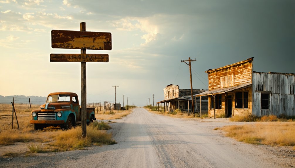
But frontiers don’t stay frontiers. As settlements crept west and raids faded, the fort lost its purpose. Troops moved on. Buildings emptied. Today, you’ll find only silence where sentries once watched.
Getting There: Location and Access Routes
Your phone’s GPS will struggle to find Bryant Station—there’s no coffee shop or town square to plug into the search bar. Instead, punch in coordinates 30.849°N, -97.194°W, or aim for Buckholts, then head toward County Route 275 where it crosses the Little River.
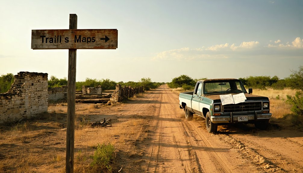
State Highway 190 gets you close, but you’ll navigate rural roads from there—the kind where pavement gives way to gravel without warning. Seasonal weather patterns transform these routes: spring rains turn red clay into mud that’ll test your vehicle’s clearance, while summer bakes the terrain into washboard ridges.
The 1909 Bryant Station Bridge still stands, marking where civilization once thrived. Pack water, download offline maps, and embrace terrain challenges. This isn’t a destination for the unprepared, but that’s precisely the point.
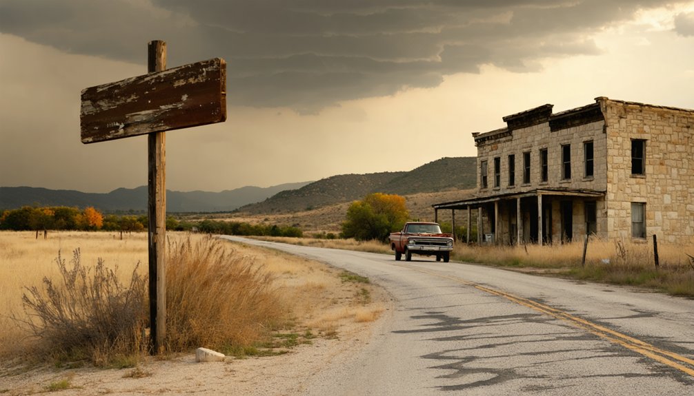
What to See at Bryant Station Today
When you arrive at Bryant Station, you’ll find a landscape stripped down to its most essential historical bones—a cemetery where weathered gravestones mark the lives of settlers who built their hopes along the Little River, and an old camelback bridge that once carried stage coaches between Marlin and Austin.
The bridge stands closed now, its arched iron frame frozen in time above the water, visible proof that this quiet spot once hummed with commercial traffic. These two landmarks are all that remain of Benjamin Franklin Bryant’s 1840s trading post, yet they’re enough to sketch the outline of a frontier community that thrived and vanished within a single generation.
Historic Cemetery and Graves
The Bryant Place Cemetery sits quietly in a pasture off County Road 106 near Buckholts, serving as the most tangible remnant of the vanished community. You’ll find 108 recorded burials here, though many more rest in unknown graves without markers or documentation. The notable marked graves include Uan Posival (1838-1911) and young Lillie Mable Randel, who died at just twenty-one months old in 1918.
Most haunting are the unmarked and unknown graves—footstones with only initials like “J.H.L.” and “S.H.,” and mysterious stones marked “O.D.: 1787-1873.” Walking through this windswept pasture, you’re treading ground where 19th-century pioneers built their lives and laid their dead to rest, their stories now scattered like the ghost town itself.
Old Camelback Bridge Structure
Rising from the banks of the Little River like a steel skeleton from another era, the 1909 camelback bridge stands as Bryant Station’s most impressive surviving landmark. You’ll spot its distinctive sloped deck immediately—an unusual feature that sets it apart from standard truss designs. Material analysis reveals components from multiple suppliers, with Cambria and Lackawanna brands still visible on different sections. The pin-connected truss connection types represent early 20th-century engineering before welded joints became standard.
Though closed to both vehicles and pedestrians since 2002, you can photograph this 333-foot structure from the banks. The Historic American Engineering Record documented it as HAER TX-60, recognizing it as one of only two surviving pin-connected camelback through trusses in Texas—a rare glimpse into frontier-era infrastructure.
The Historic Old Bryant Station Bridge Over Little River
You’ll spot the abandoned 1909 camelback truss bridge still spanning Little River on County Road 106, its distinctive sloped deck and pin-connected design making it one of only two surviving examples of this type in all of Texas. The rusted steel framework bears faint markings from Cambria and Lackawanna mills—evidence that materials from multiple suppliers came together in this $5,980 construction project over a century ago.
Since a newer bridge replaced it in 2002, you can observe the structure from the roadside, though the decking has deteriorated enough that crossing on foot would be dangerous.
Camelback Bridge Architecture Details
Standing as one of only two pin-connected camelback through truss bridges left in Texas, this 1909 crossing presents a rare architectural profile you won’t find on modern spans. The 333-foot structure showcases unique architectural design elements that set it apart—most prominently its sloping deck rising above a horizontal bottom chord, creating an unusual visual contrast.
This rare pin connected construction method uses bolted joints rather than welded connections, allowing each steel member to move independently. You’ll spot manufacturer brands stamped into the metalwork: Cambria on the sway bracing, Lackawanna on other components.
The camelback arch profile cuts a distinctive silhouette against the sky, while the through truss design lets you drive directly between the steel framework spanning Little River’s 200-foot main channel.
Access and Safety Concerns
While this architectural marvel commands attention, reaching it requires careful planning and an honest assessment of the risks involved. You’ll navigate rural Milam County roads to find this 1909 relic at Bryant Station Crossing, where access challenges begin immediately. The bridge has stood abandoned since 2002, enduring 114+ years of weather without maintenance.
Consider these structural hazards before exploring:
- Sloping deck configuration creates unstable footing
- Pin-connected components may have deteriorated extensively
- Remote riverside location means help isn’t nearby
- No vehicular traffic permitted on abandoned span
- Isolation risks compound equipment failure possibilities
You can view the bridge from the 2002 replacement structure nearby, offering safer perspective. The ghost town’s isolation adds authentic atmosphere but demands self-reliance and proper preparation.
Best Times to Visit and What to Expect
Since the Bryan Ghost Tours have run every fall season since 2021, you’ll want to plan your visit for October through early November when the haunted history walks take center stage. Seasonal tour schedules typically run Friday and Saturday evenings at 7:00 PM and 8:30 PM, with the final tours wrapping up by November 1st.
You’ll experience interactive paranormal experiences using EMF detectors, dowsing rods, and spirit boxes as you explore haunted spots like Hotel Bryan Alleyway and Caldwell Jewelry. Tours last about 40 minutes with customizable pacing for comfortable exploration. Tickets cost $18 per person and sell out quickly among locals and tourists alike.
Registration opens October 10th, so book early to secure your spot. Expect chilling encounters in outdoor alleyways after dark, when street lights illuminate downtown’s most actively haunted corners.
Nearby Attractions: Extending Your Central Texas Ghost Town Adventure
Your ghost town exploration doesn’t end at Bryant Station’s weathered remains. Central Texas offers countless opportunities to extend your adventure through backcountry discoveries and historical sites that’ll satisfy your wanderlust.
As you delve deeper into central Texas, consider visiting some of the most fascinating ghost towns in Texas history. Each site tells a unique story of bygone eras, enriching your journey with tales of perseverance and resilience. From the hauntingly beautiful architecture to the remnants of past livelihoods, these ghost towns invite exploration and reflection on the passage of time.
Within driving distance, you’ll find:
* Nearby trails and parks threading through Hill Country terrain where you can hike among cedar breaks and limestone outcroppings
- Abandoned structures and artifacts scattered across the region, from old homesteads to forgotten cemeteries
- Small-town cafés serving authentic Texas barbecue and pie that’ll fuel your explorations
- Vintage general stores where locals share stories about vanished communities
- Scenic backroads leading to undiscovered ruins that aren’t in any guidebook
Pack your camera, wear sturdy boots, and respect private property boundaries. These forgotten places reward those who venture beyond marked tourist destinations.
Frequently Asked Questions
Are There Any Facilities Like Restrooms or Water Available at Bryant Station?
No facilities exist at this authentic ghost town—you won’t find restrooms, picnic facilities available, or onsite drinking water here. Pack everything you’ll need before heading out, and consider stopping in nearby Buckholts for supplies and bathroom breaks.
Is Camping Allowed Near the Cemetery or Old Bryant Station Bridge Area?
Camping isn’t permitted at Bryant Station’s cemetery or bridge—no facilities exist there. However, you’ll find the historical significance and scenic views worth a day visit. Consider nearby Lake Bryan for overnight stays with proper campfire rings and permits.
What Photography Restrictions Exist at the Cemetery or Historic Bridge?
You’ll find no explicit photography restrictions at Bryant Station Cemetery or the historic bridge. Practice good photography etiquette by respecting other visitors and historic monument preservation. Texas law doesn’t ban cemetery photos, so you’re free to document your exploration.
Are There Any Guided Tours or Interpretive Signage at the Site?
You’ll find no guided tours available at this forgotten crossroads—Bryant Station stands silent and unmarked. Self-guided audio tours aren’t provided either. You’re free to explore independently, creating your own adventure through whatever remnants remain.
Do I Need Permission to Access Private Property Around Bryant Station?
Yes, you’ll need permission before entering private property around Bryant Station. Respecting private property accessibility protects both your rights and the landowner’s while ensuring historical significance preservation. Contact local property owners directly or check posted signage for access guidelines.


