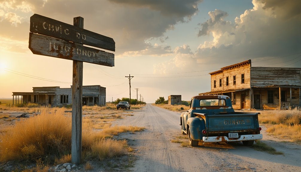
You’ll find Cryer Creek at the junction of Farm Roads 2930 and 1126 in northwest Navarro County, four miles north of Barry. Visit during spring or fall when temperatures hover in the comfortable 70s-80s, avoiding summer’s brutal heat. The cemetery’s weathered headstones and the remarkably intact frontier general store await your exploration, accessed via easy 2WD roads through working ranch country. Stock up on fuel and supplies in Corsicana beforehand, and bring your USGS quadrangle map to discover what else these silent ruins reveal.
Key Takeaways
- Cryer Creek is located at the junction of FM 2930 and FM 1126, four miles north of Barry in northwest Navarro County.
- Visit during spring (March-May) or fall (September-November) for comfortable 70-80°F temperatures and ideal exploration conditions.
- Stock up on fuel and supplies in Corsicana beforehand, as no amenities exist at the abandoned townsite.
- Explore the intact frontier general store, cemetery with settlement-era burials, and church and school foundations.
- Bring a USGS Cryer Creek quadrangle map to navigate 4WD roads and locate century-old landmarks throughout the area.
Location and Getting There
Cryer Creek sits tucked away in the rolling farmland of northwest Navarro County, Texas, where two rural farm roads intersect at coordinates 32.129°N, -96.657°W. You’ll find this abandoned settlement at the junction of Farm Road 2930 and Farm Road 1126, roughly four miles north of Barry. The nearby terrain conditions feature gentle hills at 518 feet elevation, with Cryer Creek‘s waters carving through the landscape that gives this ghost town its name.
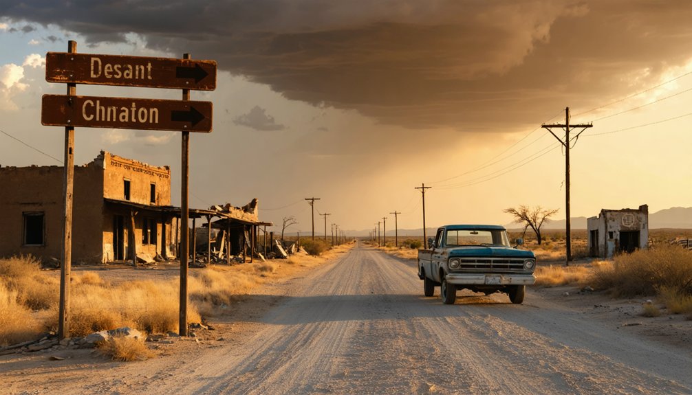
Getting there means embracing the open road through working ranch country. You’ll pass local farming activities as you navigate these connector roads—cattle grazing, hay fields stretching toward the horizon. Keep your USGS Cryer Creek quadrangle map handy, and don’t be surprised if 4WD roads tempt you deeper into this forgotten corner of Texas.
Historical Background of Cryer Creek
You’ll discover that Cryer Creek’s story began in 1854 when William Melton carved out a settlement along a waterfall-fed creek whose rushing waters mimicked a woman’s cry. The community flourished through the 1880s with cotton gins grinding, church bells ringing, and 200 residents calling this Navarro County outpost home.
But when the Texas and St. Louis Railway’s iron tracks bypassed the town, Cryer Creek’s fate was sealed—transforming a thriving agricultural hub into the scattered ruins you’ll encounter today.
Early Settlement and Founders
Before the Civil War transformed Texas, William Melton carved out a homestead in 1854 where a creek’s waters seemed to echo mournful cries through the bottomlands. You’ll find his pioneering spirit documented in deed records that trace Navarro County’s earliest land claims, built upon surveys Thomas Jefferson Chambers completed two decades earlier.
Census data reveals how other settlers followed Melton’s lead before 1855, establishing roots at what became the crossroads of FM 1126 and 2930.
Railway Bypass and Decline
You’ll find the town infrastructure decline starkly documented: three churches abandoned, district schools emptied despite 85 students in 1906, steam gins silenced. The Garlington-Stokes store persevered until 1962 under Minnie Garlington Walker’s determination, but isolation proved insurmountable.
Best Time to Visit
You’ll want to time your Cryer Creek expedition when the Hill Country weather cooperates with your exploration plans. Spring’s mild 70s-80s temperatures create perfect conditions for wandering through abandoned structures and dusty streets, while fall’s golden light bathes weathered buildings in photogenic amber hues.
Avoid the scorching summer months when temperatures soar past 100°F, turning metal ruins into blistering hazards and making outdoor exploration dangerously uncomfortable.
Seasonal Weather Considerations
The abandoned buildings of Cryer Creek reveal different faces across Texas’s shifting seasons, each transforming your ghost town experience in distinct ways. Spring and fall deliver perfect exploration conditions, while summer’s intensity and winter’s unpredictability require strategic planning.
Seasonal Breakdown for Your Visit:
- Spring (March-May): You’ll encounter 75-80°F highs, 4-5 inches precipitation patterns, and spectacular wildflower blooms peaking late March through April—perfect for photography among weathered structures.
- Summer (June-August): Expect brutal 90-95°F heat with 60-80% humidity and frequent afternoon thunderstorms hitting 10-15 days monthly. Early morning departures become essential.
- Fall (September-November): Comfortable 70-80°F temperatures with minimal rainfall create ideal conditions for unrestricted wandering. Clear skies dominate 70% of days, with seasonal event timing aligned perfectly for extended outdoor adventures.
Avoiding Temperature Extremes
Texas hill country transforms into either a furnace or sanctuary depending on when you arrive at Cryer Creek’s crumbling facades. Summer’s 95°F afternoons create punishing conditions that’ll sap your energy before you’ve explored half the ghost town.
Winter brings relief with 55-60°F days, though potential storm risks increase during seasonal shift. Your sweet spot lies in spring’s 65-80°F comfort zone or fall’s golden 60-85°F range—both seasons deliver ideal exploration weather without extremes.
The impact of precipitation matters less here than timing your escape from June-August heat waves, when humidity pushes the index past 100°F. March through May or September through November guarantee comfortable wandering through abandoned structures.
Check Navarro County forecasts before departing, then hit the road when conditions align with your schedule.
What to See and Explore
- Cemetery grounds – Discover settlement-era burials accessible via easy 2WD roads
- Original store building – Examine one of Texas’s few intact frontier general stores
- Church and school sites – Trace foundations where 200 residents once gathered during the 1892 population peak
Population Through the Years
Walking among the weathered headstones and examining the old store’s sagging timbers, you’ll naturally wonder about the people who once filled these now-silent spaces. William Melton arrived in 1854, carving out the first homestead from the Texas wilderness and establishing what would become Cryer Creek.
By 1884, one hundred souls called this place home, supported by stores, churches, and cotton gins. Peak population trends pushed numbers to 200 by 1892, but the key demographic shifts began when the railway chose another route. The post office departed in 1907, triggering steady decline.
Seventy-five residents persisted through the Depression years, but by 1990 only fifteen remained—holdouts refusing to abandon their ancestor’s hard-won ground.
Planning Your Route
Before you set out to find Cryer Creek’s remnants, you’ll need to plot your course to this remote Navarro County site where two farm roads intersect in near-solitude.
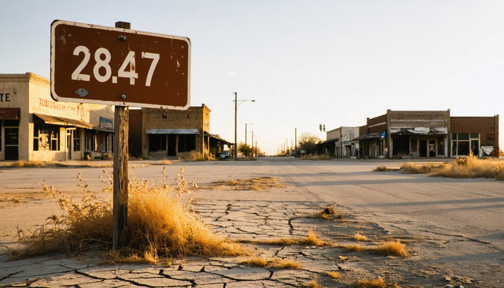
Your journey begins four miles north of Barry, where FM 1126 meets FM 2930 at coordinates 32.129320, -96.656930. Road conditions favor standard vehicles—these farm-to-market routes accommodate 2WD traffic without difficulty.
Essential Route Elements:
- Download USGS Cryer Creek quadrangle (TX 3296-213) showing contour lines, water features, and century-old landmarks like the cemetery
- Plan fuel and supplies in Corsicana before departing—local amenities don’t exist at this abandoned townsite
- Target spring or fall visits when Central Texas heat won’t trap you on exposed rural pavement
The ghost town occupies northwest Navarro County terrain, where Ellis County borders appear on topographic margins.
Nearby Ghost Towns to Add to Your Journey
Once you’ve traced the weathered boundaries of Cryer Creek, the surrounding counties reveal a constellation of abandoned settlements that transform a single-site visit into a multi-day exploration of Central Texas’s forgotten landscape. Head north to Belcherville in Montague County, where fire-gutted structures stand as memorials to disaster and resilience—survivors of Red River Station’s 1890 tornado rebuilt here before flames claimed their second chance.
Continue to Hagerman in Grayson County, where an abandoned Catholic church anchors what remains of the 1880s settlement once called Steedman. Each site preserves unique regional histories tied to their former economic role in ranching, farming, and frontier expansion. You’ll find Crisp near Barry and Custer City in Cooke County offering additional coordinates for your map.
Frequently Asked Questions
Are There Any Facilities Like Restrooms or Gas Stations Near Cryer Creek?
You’ll find gas stations along Highway 71 in Columbus, just miles away. While wheelchair accessibility varies at local lodging options, Cryer Creek’s private cabins include bathroom facilities, freeing you from worrying about public restrooms during your adventure.
Is It Legal to Explore the Old Buildings and Cemetery?
You’ll need to obtain landowner permission before exploring, as most ghost town structures sit on private property. Avoid trespassing—Texas takes property rights seriously. Contact Navarro County’s courthouse beforehand to identify owners and request access to this abandoned frontier settlement.
Many visitors are drawn to ghost town attractions in Zella for their unique charm and historical significance. Exploring these sites can provide a fascinating glimpse into the past, but always make sure to respect the rules and the local community. Taking guided tours can enhance the experience while ensuring that you remain within legal boundaries.
What Safety Precautions Should I Take When Visiting Abandoned Structures?
You’ll want to wear protective equipment like sturdy boots and gloves, and carefully avoid unstable structures with crumbling walls or sagging roofs. Watch for hazardous debris, rusty nails, and wildlife. Never explore alone—freedom requires smart choices.
Are There Any Guided Tours or Historical Markers at the Site?
No guided tours or official historical markers exist at Cryer Creek—you’ll explore independently. The cemetery and old grocery store stand as silent witnesses to history, lacking interpretive signage. Your adventure becomes a self-guided walking tour through authentic, unmarked Texas frontier remnants.
Can I Camp Overnight Near Cryer Creek Ghost Town?
No designated camping exists at Cryer Creek’s ghostly grounds—apparently historical preservation efforts don’t include slumber parties. However, you’ll find outdoor recreation opportunities at Magnolia Ridge campground, just eleven miles away, where modern amenities await your freedom-seeking spirit.


