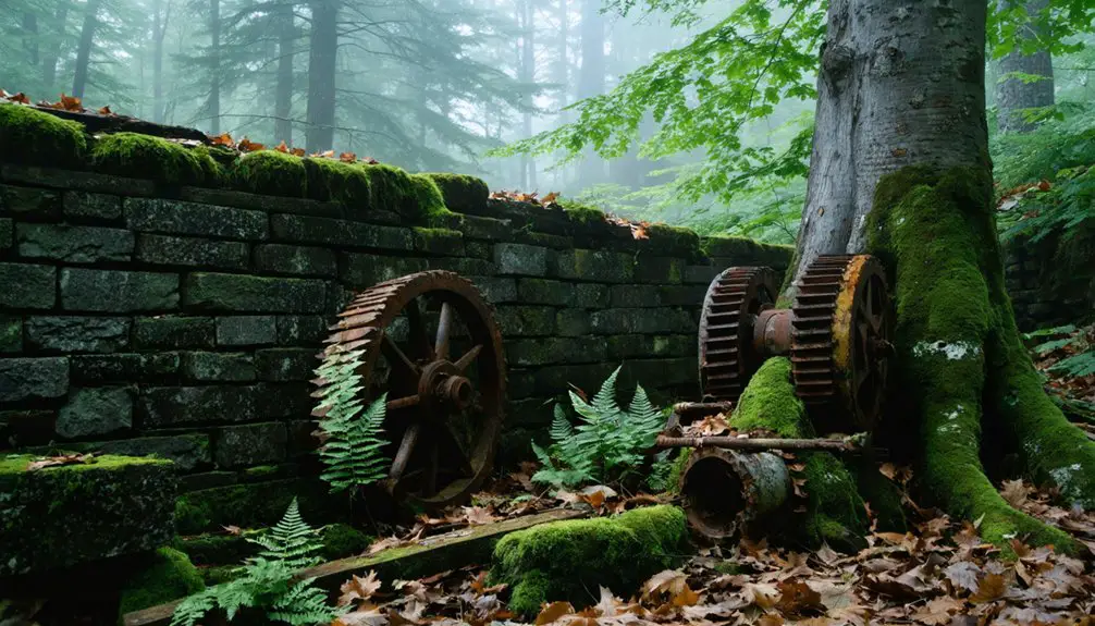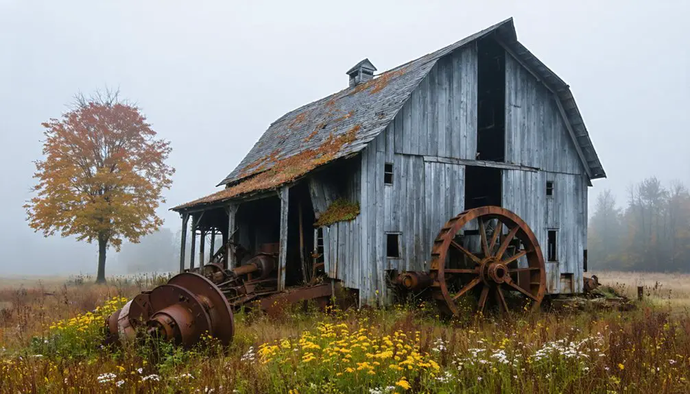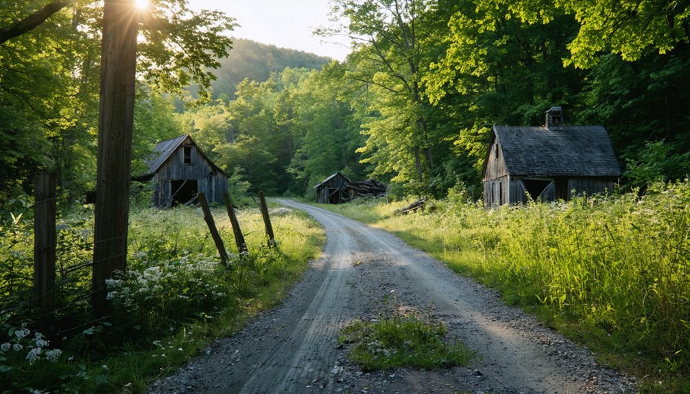
East Albany, Vermont won’t greet you with signage or restored facades—it’ll meet you with cellar holes, stone walls, and road grades dissolving into the Northeast Kingdom’s forests. You’re tracing what was once a working village complete with a church, sawmill, and starch factory, all swallowed by time. Pack offline maps, sturdy boots, and a camera ready for early-morning light. The full story of how to find it—and what surrounds it—is just ahead.
Key Takeaways
- East Albany, Vermont, features subtle ruins like cellar holes, stone walls, and field patterns, with no standing structures or interpretive signs remaining.
- Begin your route on Vermont Route 14 through Orleans County, downloading offline maps due to limited cell service in the area.
- Visit between late spring and early fall, with September to October offering clearer sightlines and better visibility of historical remnants.
- Pack sturdy boots, water, navigation tools, and a first aid kit, as the terrain is rough and the landscape uncurated.
- Verify land access through local town offices, as much surrounding land is privately owned and requires permission before exploring.
What East Albany, Vermont Actually Was Before It Disappeared
Before the woods and silence reclaimed it, East Albany, Vermont was a working village that held its own in the rural economy of Orleans County. You’d have found a church, a schoolhouse, a store, a post office, a sawmill, and a starch factory all operating within a tight rural orbit.
The historical architecture here wasn’t decorative — it was functional, built by people carving out independence on Vermont’s northern frontier. Local legends even trace smuggling activity back to around 1813, hinting at a community that played by its own rules.
The Church, Sawmill, and Starch Factory That Defined East Albany
Three structures shaped East Albany more than any others: a church that burned down just five years after it was built in 1841, a sawmill that fed the lumber demands of a growing rural settlement, and a starch factory that placed the village inside a broader regional economy by around 1870.
Three structures defined East Albany: a church that burned, a sawmill that built, and a factory that connected.
When you visit, you’re walking through layers of community memory that official records barely preserved. Historical preservation efforts let you reconstruct what thriving once looked like here.
Consider what each structure represented:
- The church — spiritual anchor, gone before the village peaked
- The sawmill — economic engine converting wilderness into livelihood
- The starch factory — industrial ambition connecting East Albany to outside markets
These weren’t isolated buildings. They were interdependent systems that briefly made East Albany matter.
Historic Sites in East Albany Worth Photographing Today
Though East Albany won’t greet you with standing ruins or interpretive signs, the landscape itself holds the story if you know what you’re looking for. Train your lens on foundation lines half-buried in grass where the 1841 church once stood before fire claimed it in 1846.
Follow fence lines and old road grades that ghost the starch factory’s footprint near the mill corridor. Architectural ruins here aren’t dramatic — they’re subtle, threaded into pasture and woodlot. That restraint demands attention.
Document cellar holes, stone walls, and field patterns that reflect historic preservation through neglect rather than intention. Shoot in early morning light when shadows reveal what sunlit midday hides.
East Albany rewards photographers who read absence as evidence.
How to Get to East Albany on Vermont’s Northeast Kingdom Byways
You’ll begin your Northeast Kingdom drive by heading north on VT Route 14, the spine of this quiet, fog-prone corridor that connects small Vermont towns still carrying traces of their 19th-century working lives. Albany sits directly on Route 14 in Orleans County, and East Albany branches off from there along rural byways where pavement narrows and farmland crowds the road’s edge.
Keep a paper map or downloaded offline route handy, because cell service thins quickly once you’ve left the main road and started threading through the kind of countryside that once supported starch factories and sawmills.
Starting Your Northeast Kingdom Drive
Once you leave the busier corridors of central Vermont behind, the roads narrow and the Northeast Kingdom opens up around you—a landscape of working farms, dense woodlands, and small towns that time hasn’t entirely caught up with.
VT Route 14 carries you into Albany, your anchor point for reaching East Albany‘s faded rural infrastructure and ghost-village traces.
Pack deliberately before you go:
- Download offline maps — cell service drops unpredictably across Orleans County.
- Note Route 14 milestones — Albany’s historic architecture marks your orientation point before branching toward East Albany.
- Plan arrival before midday — natural light improves photography of surviving structural remnants.
The drive itself sets the mood. You’re not just *orienteering* roads—you’re threading through Vermont’s forgotten working past.
Key Roads To Albany
Getting to East Albany means committing to Vermont’s back-road logic, where VT Route 14 serves as your spine through Orleans County and Albany becomes your last clear landmark before the village traces begin.
From Albany, you’ll follow rural connectors into quieter terrain, where local legends about 1813 smugglers and vanished starch factories still cling to the landscape. The roads narrow as settlements thin, and that narrowing is intentional — it’s the Northeast Kingdom filtering out casual travelers.
You’re not just steering through, you’re reading history through geography. Keep your paper map ready because cell service won’t always cooperate. The abandoned structures you’re chasing don’t advertise themselves, so treat every weathered crossroad as a clue worth slowing down for.
Navigating Rural Vermont Byways
Narrow roads demand a different kind of attention than highways, and Vermont’s Northeast Kingdom byways will teach you that fast. You’re entering territory where historic preservation isn’t curated — it’s scattered across fields, tree lines, and forgotten foundations. Rural archaeology happens through your windshield here.
Keep these navigation realities in mind:
- VT Route 14 anchors your approach — Albany sits directly on it, giving you a reliable spine for the drive.
- Cell service drops unpredictably — download offline maps before leaving paved certainty behind.
- Seasonal road conditions shift fast — mud season and early snow can close secondary roads without warning.
Slow down deliberately. The details you’re chasing — a stone foundation, a mill trace — won’t reveal themselves to anyone driving too fast.
Is East Albany on Public or Private Property?
Before you pull off VT Route 14 and wander toward East Albany’s vanished church and starch-factory traces, you’ll need to sort out what’s legally yours to explore. Much of the surrounding land carries private ownership, so you can’t assume that a crumbling foundation or overgrown mill site sits on public ground.
Stick to confirmed roadside vantage points unless you’ve verified access, because Vermont’s trespass laws apply even when a place looks long-forgotten.
Road Access And Status
When you roll down VT Route 14 toward Albany and start picking your way into East Albany’s back roads, you’ll want to know exactly where public land ends and private property begins.
Before you go, confirm these three essentials:
- Road status – Some rural Orleans County roads shift between town-maintained and private seasonal access, so check with Albany’s town office first.
- Property boundaries – Historical preservation efforts don’t automatically open old village sites to visitors; respect posted land.
- Current conditions – Unpaved roads deteriorate after mud season and heavy weather.
East Albany’s ghost infrastructure sits quietly along roads that once carried smugglers and starch wagons.
Community revitalization hasn’t transformed this corridor, which means the landscape stays raw, honest, and worth approaching carefully on your own terms.
Private Property Boundaries
East Albany never had a single owner, and that fractured history shapes every visit you’ll make today. The village grew organically, parcel by parcel, meaning today’s landscape carries invisible private property lines cutting across what once felt like a shared community.
No single authority governs access here. Farmland, woodlots, and old building sites likely belong to individual landowners who didn’t invite you. Boundary awareness isn’t optional — it’s your first responsibility before stepping off the road.
Stick to public rights-of-way, read posted signs carefully, and never assume a crumbling foundation sitting in an open field is yours to explore. If you want access beyond the roadside, contact Orleans County records to identify current owners and ask permission directly.
Respect earns you more than trespassing ever will.
What to Pack for a Vermont Ghost Town Road Trip

Packing smart makes the difference between a rewarding heritage run through Vermont’s Northeast Kingdom and a miserable slog through mud and overgrown back roads. East Albany’s vanished mills, starch factories, and forgotten church sites reward the prepared traveler. You’re chasing historical architecture and local legends across rough terrain, so gear up accordingly.
- Navigation tools – Carry paper maps alongside your phone; cell service disappears fast in Orleans County’s rural corridors.
- Field essentials – Pack water, snacks, sturdy boots, sun protection, and a first aid kit before leaving the pavement behind.
- Documentation gear – Bring a camera and a notebook to record structural remnants, roadside markers, and any surviving landscape features worth preserving for future researchers.
Travel free, but travel ready.
Vermont Ghost Towns to Pair With an East Albany Stop
Once your gear’s loaded and your maps are marked, East Albany is only the start of what Vermont’s forgotten landscape has to offer. Glastenbury and Somerset draw rural archaeology enthusiasts into deep forest corridors where logging economies collapsed and communities dissolved entirely.
Ricker Basin outside Waterbury rewards hikers with cellar holes and orchard remnants that speak to serious historic preservation concerns. Greenbank’s Hollow in Danville offers mill-village ruins accessible enough for a focused afternoon stop.
Push further and the Belvidere Mountain Asbestos Mine adds industrial abandonment to your route’s texture. Each site layers onto the next, building a portrait of Vermont’s vanished working life.
String them together deliberately, respect access boundaries, and you’ll drive a corridor that history largely erased but hasn’t fully silenced.
A Northeast Kingdom Ghost Town Driving Loop
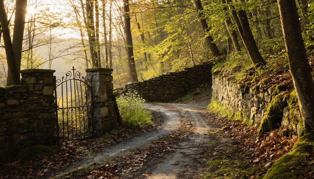
Vermont’s Northeast Kingdom gives you a driving loop where forgotten villages, collapsed industries, and rural byways thread together into a single coherent route. Anchor your drive on VT Route 14 through Albany, then expand outward to capture the region’s layered past.
- East Albany – Follow industrial remnants from the 1870 starch factory era and photograph historic architecture where a functioning village center once stood.
- Greenbank’s Hollow, Danville – A accessible mill-village ruin offering tangible historic architecture without deep-backcountry commitment.
- Ricker Basin, Waterbury – A documented hiking-based ghost-town stop where cellar holes and overgrown clearings reward patient explorers.
String these stops across two days, keep your map current, verify access rules before stepping off the road, and let the Kingdom’s silence do the rest.
When to Visit East Albany for the Best Road and Trail Conditions
Timing shapes everything when you’re chasing ghost-town traces through Vermont’s Northeast Kingdom. Late spring through early fall gives you the clearest road access and manageable trail conditions for reaching East Albany’s forgotten corners.
Timing shapes everything when chasing ghost-town traces through Vermont’s Northeast Kingdom.
Summer opens the rural byways fully, but dense foliage can conceal hidden artifacts and obscure abandoned structures you’d otherwise photograph well.
Late September through mid-October strips the canopy back, sharpening your sightlines across old foundations and overgrown lots.
Avoid mud season — typically March through April — when unpaved roads become genuinely impassable.
Winter buries evidence entirely.
If you’re serious about reading the landscape the way it once functioned, aim for that narrow October window when the light cuts low, the leaves thin out, and East Albany’s faded village bones finally show themselves.
Vermont Ghost Town Access Rules to Verify Before You Go
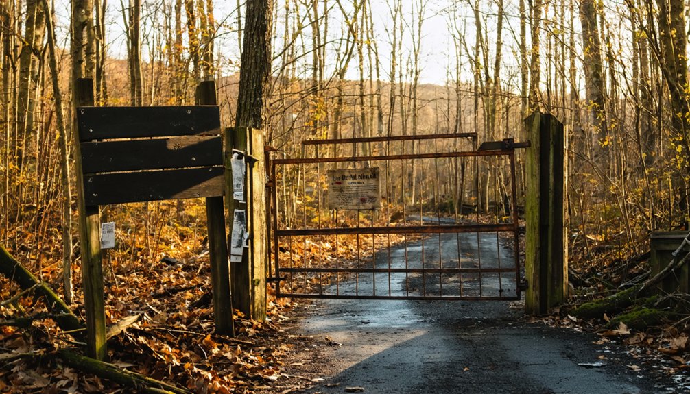
Knowing when to go only gets you halfway there — knowing whether you’re legally allowed to step off the road is what keeps your road trip from turning into a trespassing citation. East Albany’s remnants carry real cultural significance, and that history deserves respect — not just romantically, but legally.
Before you go, verify three things:
- Land ownership status — Many Vermont ghost-town sites sit on private property; confirm boundaries using county parcel maps.
- Historical preservation designations — Protected sites may restrict photography, artifact removal, or physical access entirely.
- Seasonal road and trail closures — Vermont agencies periodically gate access to remote heritage corridors.
Your freedom to explore these landscapes depends on doing this homework first. Responsible access keeps these places open for every traveler who follows you.
Frequently Asked Questions
Did East Albany Ever Have a Official Population Recorded in Census Records?
East Albany’s historical demographics weren’t captured in standalone census records—you’ll find it folded into Albany’s broader count. Chase those faded numbers, and you’ll feel freedom echoing through forgotten, unincorporated village histories.
What Smuggling Activity Took Place Near East Albany Around 1813?
Around 1813, you’d have witnessed bold border smuggling defining this frontier. Illegal trade flourished dangerously close to Canada, as daring locals defied wartime restrictions, moving contraband freely through Vermont’s remote northeastern corridors — a rebellious spirit echoing true American independence.
Are Guided Ghost Town Tours Available in Vermont’s Northeast Kingdom Region?
Formal guided tours aren’t widely available, but you’ll find self-guided routes connecting haunted legends and abandoned sites across the Northeast Kingdom’s forgotten hollows, where history breathes through crumbling mills, silent churchyards, and roads that vanish into the wild.
Can Children Safely Participate in a Vermont Ghost Town Road Trip?
Sunlit gravel roads and weathered stone foundations await your family’s adventurous spirit. Yes, children can safely join you if you follow smart safety precautions and choose child-friendly activities like roadside history stops and scenic heritage walks.
Are There Any Local Historians or Museums Near East Albany Offering Resources?
You’ll find the Old Stone House Museum nearby, where local archives and historical landmarks breathe life into East Albany’s forgotten past. It’s your gateway to uncovering starch factories, sawmills, and vanished village stories waiting to be rediscovered.
References
- https://en.wikipedia.org/wiki/List_of_ghost_towns_in_Vermont
- http://freepages.rootsweb.com/~gtusa/history/usa/vt.htm
- https://en.wikipedia.org/wiki/Albany
- https://urbex-maps.com/en/blog/abandoned-places-vermont-6-iconic-urbex-spots
- https://ghost-towns.close-to-me.com/states/vermont/
- https://oldstonehousemuseum.org/albany/
- https://vermont.com/cities/albany/
- https://urbexunderground.com/ghost-towns-in-vermont/
- https://thebridgevt.org/2022/10/ghost-towns-of-new-england/
- https://newenglandwithlove.com/ghost-towns-in-vermont/