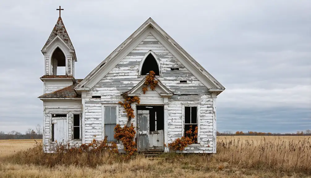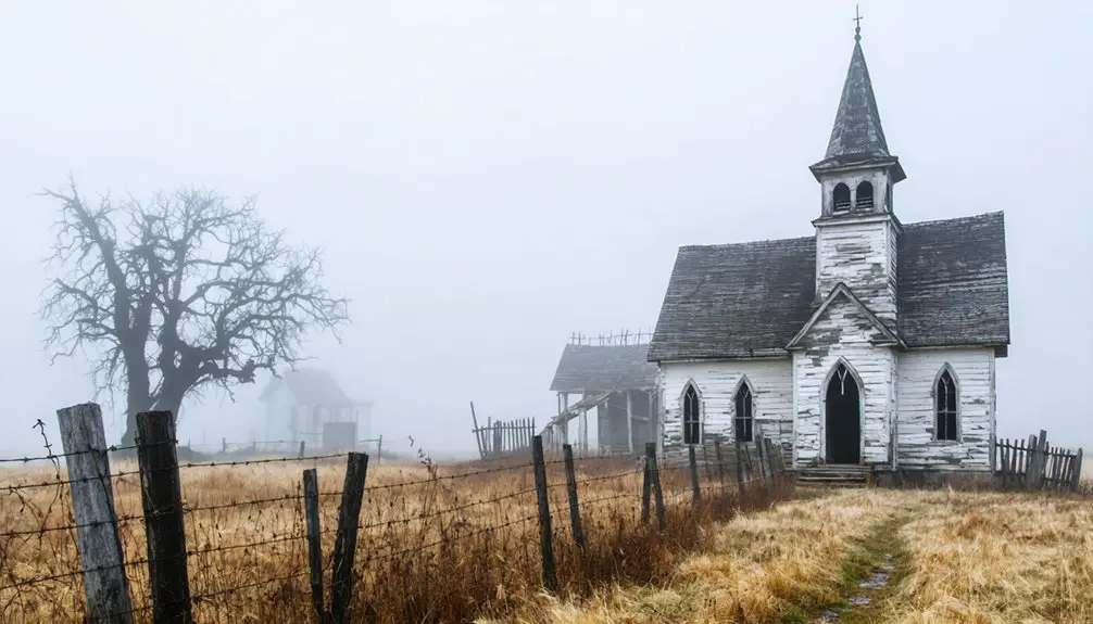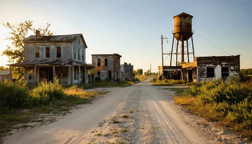
Planning a ghost town road trip to Saint Annie, Missouri is easier than you’d think. You’ll find this quietly faded community about three miles east of Nebo along Missouri Route U, so you won’t need backroads or a four-wheel drive. Once a thriving settlement established in 1878, Saint Annie eventually dissolved through military land seizures, a fading oil boom, and a post office closure in 1930. Stick around, and you’ll uncover the full fascinating story.
Key Takeaways
- Saint Annie, established in 1878, is located three miles east of Nebo, accessible via Missouri Route U without backroads or off-road travel.
- Key remnants include the Macedonia Christian Church cemetery and visible school foundations, as most buildings were demolished during federal land acquisition.
- Fort Leonard Wood’s expansion and the decline of Gulf Oil’s brief boom accelerated the community’s dissolution after the post office closed in 1930.
- Bring water, wear sturdy shoes, respect active farmland, and treat Saint Annie as a short stop within a broader ghost town exploration route.
- Mapping tools help locate streets now covered by farmland, and nearby ghost towns, Nebo, and Route 66 stops can enhance your overall trip.
What Is Saint Annie, Missouri?
Though it never grew into an incorporated town, Saint Annie carved out its own quiet identity as an unincorporated community in Laclede County, Missouri, with roots stretching back to 1878 when its post office first opened.
Sitting about three miles east of Nebo along Missouri Route U, this ghost town carries local legends about its name — some tie it to Saint Anne, mother of the Virgin Mary, while others connect it to Santa Anna and Missouri’s Mexican War veterans.
You’ll find scattered historical architecture, including foundation traces and a cemetery, alongside farm fields that once held streets and homes.
Military expansion for Fort Leonard Wood erased much of the original community, leaving behind a quietly haunting landscape worth exploring on your own terms.
Why Saint Annie Became a Ghost Town
When you trace Saint Annie’s decline, you’ll find three overlapping forces that slowly erased it: the post office shut its doors on July 15, 1930, cutting the community’s official identity.
The federal government seized surrounding land for Fort Leonard Wood, claiming the church and school that once anchored neighborhood life.
And the Gulf City oil boom, which had briefly energized the region, eventually faded along with the jobs and families it had drawn in.
Each loss compounded the last, leaving little behind for the landscape to remember.
Today, you’re left with a cemetery, a school foundation, and fields where streets once ran.
Post Office Era Ends
By the time Saint Annie’s post office shuttered on July 15, 1930, the community had already lost much of the momentum that once held it together. That closure marked more than an administrative change — it signaled the quiet end of a settlement that had existed since 1878.
You can still connect with the community memories embedded in this landscape by visiting its remaining historical landmarks, including the Macedonia Christian Church cemetery and scattered foundation traces.
Without a functioning post office, Saint Annie lost its official identity and faded from active community life. Military expansion from Fort Leonard Wood further erased what remained.
When you visit today, you’re walking through the final chapter of a place that gradually dissolved rather than disappeared all at once.
Military Land Takeover
What finally erased Saint Annie’s remaining community fabric wasn’t time or neglect — it was the federal government’s expansion of Fort Leonard Wood. When the military claimed surrounding land, the Baptist church and school disappeared with it, taking historical artifacts and community legacy along.
You’re left with scattered traces of what once stood:
- A school foundation still visible on the landscape
- The Macedonia Christian Church cemetery as a surviving landmark
- Former streets converted into working farm fields
- Buildings absorbed or demolished during federal acquisition
That kind of top-down erasure hits differently when you’re standing on the ground where families once built something real. Saint Annie didn’t fade — it was taken. Knowing that changes how you read every remaining structure and stone you encounter on your visit.
Oil Boom Fades
Federal land seizure wasn’t the only force that hollowed Saint Annie out — the oil boom that briefly supercharged the area also collapsed, pulling economic life with it. Gulf Oil’s pumping station once made Gulf City hum with workers, homes, a store, and a school.
When oil infrastructure became obsolete and operations wound down, that energy vanished fast. You’ll find no grand historical landmarks marking where the industry stood — just quiet fields and fading memory.
Local legends describe a community that practically buzzed overnight and then emptied just as quickly. Once the paychecks stopped, families left, buildings deteriorated, and Saint Annie’s already fragile identity eroded further.
Understanding this dual collapse — military takeover plus industrial retreat — helps you read the landscape honestly when you arrive.
How Gulf Oil Turned Part of Saint Annie Into Gulf City
During the 1930s, Gulf Oil moved into the Saint Annie area and built a pumping station to support one of its pipelines. That single industrial decision quietly transformed a stretch of rural Laclede County.
The oil history here split the identity of this region in two. Workers needed housing, supplies, and schooling, so a separate settlement rose organically around the station:
- Homes built specifically for pipeline workers
- A store serving the new workforce
- A school established for families
- A distinct community identity branded as Gulf City
Gulf City wasn’t Saint Annie — it was its own pocket of industry. When oil demand shifted and operations scaled back, community decline followed fast. Gulf City faded, leaving behind another quiet layer in Saint Annie’s already complicated story.
What Survives at the Saint Annie Site Today
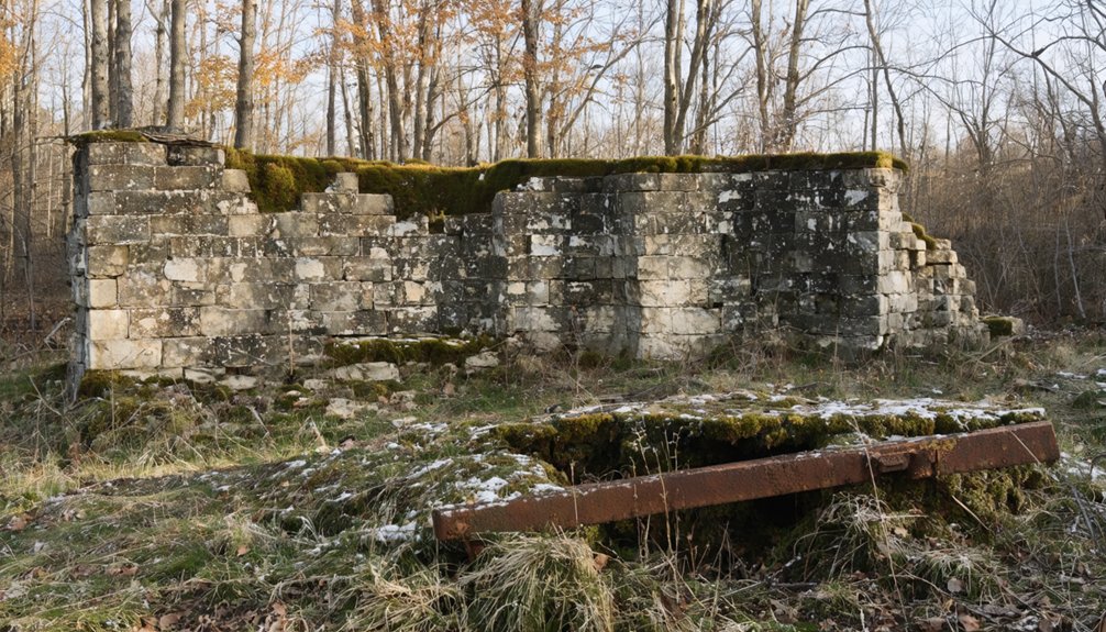
After Gulf City faded and Fort Leonard Wood absorbed much of the original settlement’s land, what’s left of Saint Annie today is a quiet, stripped-down landscape that rewards patient visitors.
After Gulf City faded and Fort Leonard Wood took over, Saint Annie became a quiet, stripped-down landscape for patient visitors.
You’ll find the Macedonia Christian Church cemetery still standing, offering a tangible connection to the community’s earliest residents. A school foundation marks where education once anchored local life.
Most former streets have surrendered to farm fields, so you’ll need a sharp eye and GPS mapping to trace the town’s original layout.
Local legends about the settlement’s Baptist roots and oil-era workers add depth to what you’re seeing.
No formal preservation efforts protect the site, so explore respectfully and document what you find.
Saint Annie suits those who value raw, unpolished history over curated tourist experiences.
Other Laclede County Ghost Towns to Add to Your Route
Saint Annie fits naturally into a wider Laclede County ghost-town loop, so you’ll get more out of your drive by mapping several stops in a single trip.
The county holds other abandoned and near-abandoned communities worth tracking down, each carrying its own slice of Missouri’s rural and industrial past.
Plan your route in advance, prioritize sites with visible remnants, and you’ll turn a short detour into a rewarding half-day of heritage exploration.
Nearby Ghost Town Stops
Laclede County holds more ghost towns worth adding to your route, so if you’ve made the drive out to Saint Annie, you’re already well-positioned to explore the region’s broader abandoned landscape. Local legends tied to Missouri’s rural past surface at nearly every stop, and historical artifacts often appear where you least expect them.
Build your extended route around these nearby targets:
- Gasconade River corridor sites – riverside settlements that faded after flood cycles reshaped the land
- Nebo – the nearest active community to Saint Annie, holding its own faded commercial history
- Lebanon-area outskirts – scattered foundations and cemetery markers worth a slow drive
- Route 66 adjacent stops – ghost communities displaced by highway development and shifting traffic patterns
Each stop layers onto Saint Annie’s story without repeating it.
Planning Your County Route
Once you’ve checked off Saint Annie, building a broader Laclede County ghost-town route makes the drive worthwhile on a deeper level. The county holds several forgotten settlements, each carrying local legends that never made it into mainstream history books.
You’ll find preservation challenges everywhere you look — crumbling foundations, overgrown cemeteries, and structures that won’t survive another decade without intervention. Map your stops along connected rural routes to minimize backtracking and maximize discovery time.
Compare each site’s origin story to Saint Annie’s dual identity as both an 1878 post-office community and a Gulf City oil settlement. That contrast sharpens your understanding of how economic forces shaped and erased these places.
Freedom lies in choosing your own path through this overlooked corner of Missouri.
How to Reach Saint Annie on Missouri Route U

Tucked about three miles east of Nebo, Saint Annie sits right along Missouri Route U, making it one of the easier Laclede County ghost towns to track down without a complicated detour. Local legends and historical landmarks anchor this route, giving you real context as you drive through.
Keep these navigation points in mind:
- Missouri Route U runs directly through the ghost-town footprint
- Watch for the Macedonia Christian Church cemetery as a visible landmark
- The elevation sits around 1,309 feet, so expect open Ozark terrain
- GPS still maps the old town layout, even where streets became farm fields
You won’t need backroads or off-road access. A standard vehicle handles Route U without trouble, letting you move freely between stops on your broader Laclede County ghost-town route.
What to Know Before You Visit Saint Annie
Before you pull off Missouri Route U, understand that Saint Annie isn’t a ghost town in the dramatic, cinematic sense—it’s a quietly faded rural community where farm fields have swallowed most of the old street grid. You won’t find guided tours or preservation efforts actively restoring structures here.
What you’ll find are foundation traces, a cemetery, and scattered remnants that reward patient, observant visitors. Local legends tie the name to both Saint Anne and Santa Anna, giving the site layered historical texture worth researching before you arrive.
Respect active farmland, stay on accessible paths, and treat remaining structures carefully. Bring water, wear sturdy shoes, and plan this as a short stop within a broader Laclede County route rather than a standalone destination.
Frequently Asked Questions
What Time Zone Does Saint Annie, Missouri Fall Under?
You’ll find Saint Annie, Missouri nestled in the Central Time Zone, perfect for timing your exploration of its historical landmarks. Don’t forget to sample local cuisine nearby as you’re adventuring through this fascinating ghost town!
What Is the Elevation of the Saint Annie Area?
You’ll find Saint Annie sitting at about 1,309 feet in elevation, where historical landmarks and local legends are woven into every rolling hillside, inviting you to freely explore this hauntingly beautiful Missouri ghost town.
When Exactly Did the Saint Annie Post Office Close?
Records clash like old and new: one source can’t pinpoint the exact date, yet another confirms the Saint Annie post office closed July 15, 1930, leaving behind only historic landmarks and local legends for you to uncover.
Which Baptist Church Was Founded in Saint Annie in 1891?
You’ll find that Saint Annie’s church history includes a Baptist church founded in 1891, though its specific name isn’t recorded. Exploring this religious heritage connects you to the community’s deep spiritual roots before military expansion erased much of it.
How Far Is Saint Annie From Fort Leonard Wood?
Nestled amid rolling Ozark terrain, you’ll find Saint Annie sitting roughly 16 miles southwest of Fort Leonard Wood. Chase historic landmarks, savor local cuisine nearby, and you’re exploring freedom’s open road effortlessly.
References
- https://missourilife.com/photos-explore-7-missouri-ghost-towns-2/
- https://en.wikipedia.org/wiki/List_of_ghost_towns_in_Missouri
- https://www.reddit.com/r/USHistory/comments/1lhm730/i_found_an_undocumented_american_ghost_town_with/
- https://urbexunderground.com/ghost-towns-in-missouri/
- https://kids.kiddle.co/Saint_Annie
- https://www.kcur.org/history/2022-07-27/doc-annie-smith-missouri-abortion-ban-urban-legend
- https://thenamesdictionary.com/references-for/saint-annie-missouri