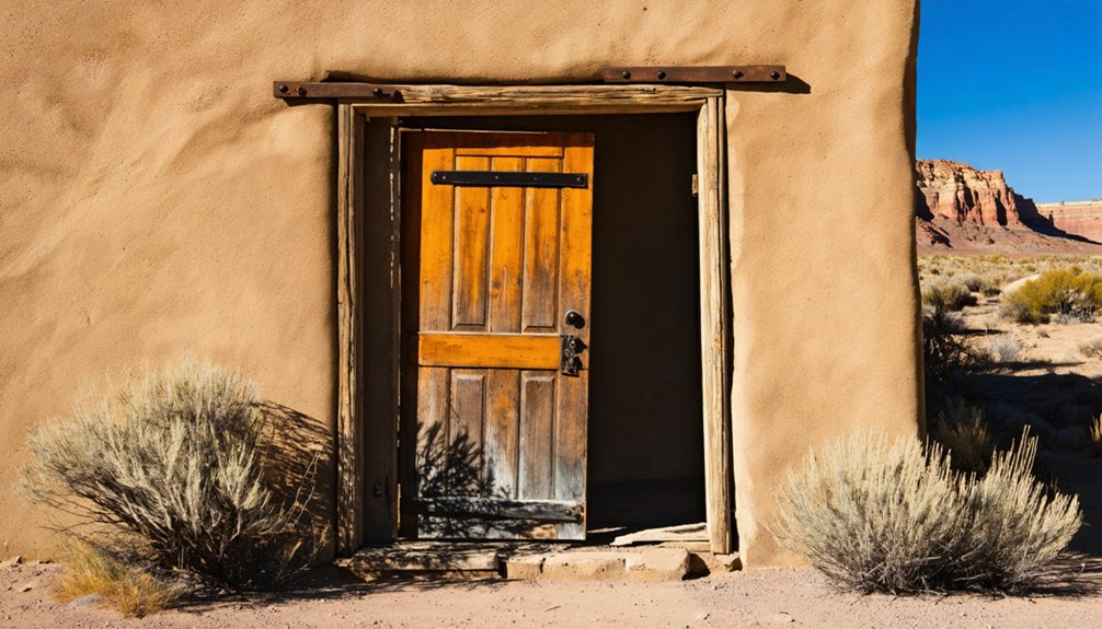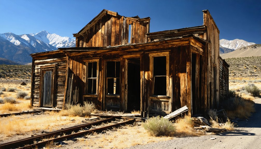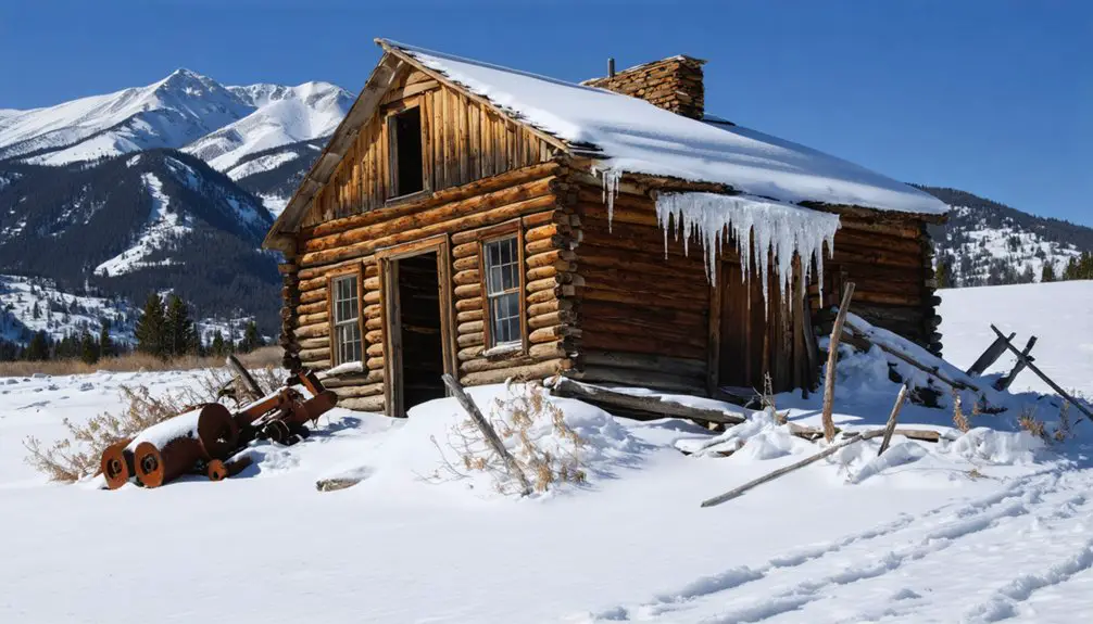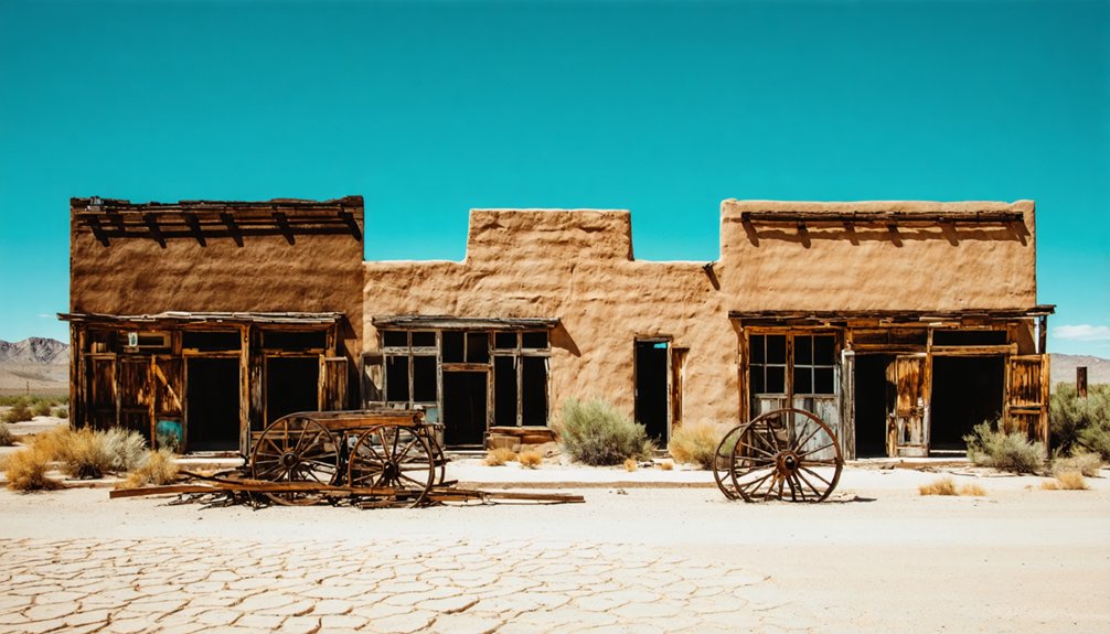
Planning a ghost town road trip to Garfield, Utah puts you in Salt Lake County, where industrial ambitions once thrived and now rest in eerie silence. Human presence here stretches back 7,000 years, and explorer John C. Frémont camped this terrain in 1843. You’ll find abandoned structures, layered history, and a landscape shaped by determination and eventual desertion. Pair it with nearby ghost towns like Grafton, Georgetown, and Osiris, and there’s far more waiting to be uncovered.
Key Takeaways
- Garfield sits in Salt Lake County near Interstates 201 and 80, featuring abandoned mining structures and human history dating back thousands of years.
- Explorer John C. Frémont camped in Garfield in 1843, adding historical significance to this layered ghost town destination.
- Nearby ghost towns like Grafton, Georgetown, and Osiris offer extended exploration with cemeteries, cabins, and mining remnants.
- Download offline maps, note fuel stops, and confirm road conditions beforehand, as rural addresses are scarce and cell service unreliable.
- Pack water, a compass, flashlight, and paper map; watch for rattlesnakes and scorpions, and respect private property boundaries.
Garfield, Utah: A Salt Lake County Ghost Town With Deep Roots
Although most people associate Garfield with the county of the same name in southern Utah, this ghost town actually sits in Salt Lake County, just a few miles west of Magna near what’s now Interstate 201 and Interstate 80.
Garfield isn’t where most people think — it’s Salt Lake County, not southern Utah.
You’re stepping into a site with roots stretching back thousands of years, where cave evidence dates human presence to between 3,000 and 7,000 B.C.
Explorer John C. Frémont even spent a night here in 1843, long before a town existed.
Today, abandoned structures mark where mining-era activity once thrived before fading into silence.
Local legends add texture to every weathered wall and forgotten foundation you’ll encounter.
If you crave history without crowds, Garfield delivers a raw, unpolished starting point for your Utah ghost town adventure.
The History That Made Garfield Worth Remembering
Picture these three moments frozen in Garfield’s timeline:
- Indigenous families sheltering in caves while the desert wind howled outside.
- Captain John C. Frémont camping here in 1843, documenting wild, uncharted terrain.
- Mining history reshaping the land as workers chased ore and opportunity.
Each chapter left its mark. You’re not just visiting a forgotten town—you’re standing inside centuries of human persistence, ambition, and eventual silence.
Three Garfield County Ghost Towns Worth Adding to Your Route
Once you’ve soaked in Garfield’s layered past, three ghost towns scattered across Garfield County make a natural extension of your route: Grafton, Georgetown, and Osiris. Each one rewards curiosity differently.
Grafton sits near Zion and delivers restored structures, a historic cemetery, and orchards rooted in cotton-mission history. From Rockville, take Bridge Road off Highway 9, then follow Grafton Road roughly 2.9 miles.
Georgetown offers a quieter stop with surviving cabins, mining remnants, and a small cemetery before fading into silence during the late 1940s.
Osiris, about 10 miles south of Antimony, rounds out the loop with desert solitude.
Together, these sites layer Indigenous history, settlement struggle, and abandonment into one cohesive road trip. Write down coordinates before leaving — rural Utah rarely rewards those depending solely on a cell signal.
Driving Directions to Grafton, Georgetown, and Osiris
Getting to each of these three ghost towns requires a slightly different approach, so mapping them out before you leave saves real time in the field. Write down coordinates for each stop since rural addresses rarely appear on maps.
- Grafton – From Rockville, take Highway 9 to Bridge Road, then follow Grafton Road 2.9 miles to a dead-end site with restored structures, orchards, and a historic cemetery.
- Georgetown – Expect quieter terrain and a surviving cabin. Check local land laws before walking the property boundaries.
- Osiris – Located roughly 10 miles south of Antimony, this loop requires vehicle preparation for possible dirt-road conditions.
Download offline maps, note fuel stops, and confirm road surfaces match your vehicle’s clearance before departure.
What to Pack for a Remote Utah Ghost Town Trip?
Before you load up the car, packing the right gear separates a smooth ghost-town run from a frustrating one. Water tops the list since cell service drops fast in remote Utah desert. Toss in a portable phone charger, a paper map, a compass, and a flashlight alongside your standard camping essentials like a first-aid kit and snacks that won’t melt.
Cell reception near Garfield and surrounding Garfield County sites is unreliable, so download offline maps and write down coordinates before you leave pavement behind.
For photography gear, bring extra memory cards, a wide-angle lens for open ruins, and a polarizing filter to cut desert glare. Dirt roads can shake equipment loose, so pad your camera bag well and keep it accessible.
How to Stay Legal and Safe at Utah Ghost Town Sites
Checking for posted signs before you step off the road keeps you on the right side of Utah trespass law, because ghost-town land can shift between public, private, and historic-preserve status within a short stretch. Local land regulations vary by county, so research each site before you leave home.
Ghost-town boundaries shift fast — always check posted signs before stepping off the road.
Wildlife precautions matter too, since desert rattlesnakes and scorpions share these ruins.
- Picture crumbling cabin walls behind a clearly marked boundary fence — crossing it turns exploration into trespassing.
- Imagine dusty coordinates saved offline guiding you past restricted zones without a cell signal.
- Visualize scanning the ground before each step, watching for wildlife sheltering beneath fallen timber.
Respect the land, follow the rules, and your freedom to explore stays intact.
Frequently Asked Questions
Are There Guided Ghost Town Tours Available Near Garfield, Utah?
Guided tours aren’t widely documented, but you’ll find rich historical preservation efforts at Grafton, where photography opportunities await around every corner. Chart your own adventurous course through these legendary, time-forgotten communities and embrace true freedom of exploration!
What Is the Best Time of Year to Visit Utah Ghost Towns?
Spring and fall offer you the best historical preservation conditions and photography opportunities at Utah’s ghost towns. You’ll enjoy mild temperatures, golden light, and fewer crowds, making every crumbling structure and weathered cemetery feel like a thrilling, wide-open discovery.
Can You Camp Overnight Near Garfield or the Garfield County Sites?
You’ll find camping permits available near Garfield County’s ghost towns, especially on BLM land around Grafton and Osiris. If roughing it isn’t your style, local accommodations in Springdale or Antimony keep your adventure both comfortable and free-spirited.
Are Utah Ghost Town Sites Accessible for Visitors With Mobility Limitations?
Some Utah ghost towns offer accessibility improvements, but many don’t. You’ll find Grafton’s flat grounds manageable, though dirt roads challenge mobility. Research mobility assistance programs before adventuring out, and you’ll discover which remarkable sites welcome every explorer’s spirit!
Do Any Utah Ghost Towns Charge an Admission or Parking Fee?
Most don’t charge fees, but Grafton’s historic preservation efforts mean small donations support its survival. You’ll find photography opportunities roam free like the open desert wind — bring your camera and your curiosity, not your wallet.
References
- https://www.utahsadventurefamily.com/osiris-ghost-town/
- https://www.deseret.com/utah/2023/1/21/23549285/utah-ghost-towns-mormon-history/
- https://www.utahsadventurefamily.com/grafton-ghost-town/
- https://www.motortrend.com/features/03064wd-ghost
- https://onlineutah.us/garfieldhistory.shtml
- https://www.ghosttowns.com/states/ut/georgetown.html