Glastenbury, Vermont isn’t your typical ghost town road trip — you can’t just drive up and walk around. This abandoned settlement sits deep in the Vermont backcountry, reachable only by a 22.3-mile hike through dense, rugged wilderness. Once home to nearly 250 residents in 1880, it’s now a forest-swallowed mystery wrapped in dark history and unexplained disappearances. If you’re ready to plan your backcountry adventure, everything you need is just ahead.
Key Takeaways
- Glastenbury, Vermont, is an abandoned ghost town accessible via Route 9 east toward Woodford, then turning onto Harbour Road.
- The settlement peaked at nearly 250 residents in 1880, supported by blacksmithing, sawmilling, and wood harvesting industries.
- Almost no original structures remain today, as dense forest has fully reclaimed the land over decades.
- The 22.3-mile two-day hike requires overnight gear, offline maps, a compass, layers, food, and a first aid kit.
- Glastenbury sits within the Bennington Triangle, known for unexplained disappearances and folklore that deepen its eerie atmosphere.
What’s Left of Glastenbury, Vermont Today
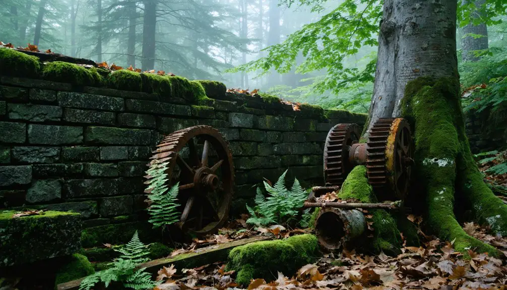
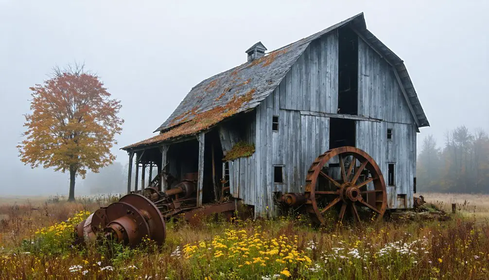
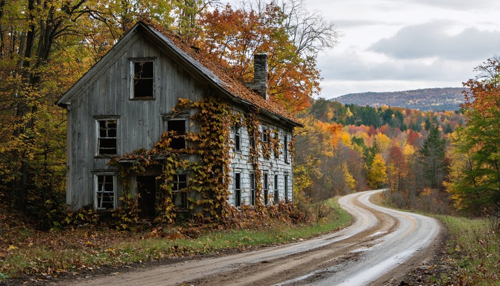
Although Glastenbury once supported nearly 250 residents at its peak in 1880, what you’ll find there today is almost nothing—swallowed by forest, silence, and decades of slow abandonment. The blacksmith shop, sawmill, boarding house, and store are gone. Nature reclaimed them long ago.
What remains are forest mysteries layered over faint historical traces and the weight of local legends tied to the Bennington Triangle’s unexplained disappearances. You’re walking through a place that erased itself, leaving only the trail beneath your feet and the trees closing in around you.
That erasure is exactly what makes Glastenbury worth the effort. You’re not visiting ruins—you’re visiting absence, and that absence tells a sharper story than most preserved historic sites ever could.
How Glastenbury Went From Boomtown to Ghost Town
When you learn Glastenbury’s history, the town’s collapse feels almost inevitable. At its peak in 1880, nearly 250 people called it home, supporting a blacksmith shop, sawmill, store, and boarding house — all the marks of a community that expected to last.
But the economy depended entirely on wood and milling, and once those resources thinned and regional industry shifted, the town emptied out, leaving behind the remote, forest-swallowed ghost town you’ll hike through today.
Peak Population And Prosperity
Once thriving with nearly 250 residents at its 1880 peak, Glastenbury wasn’t always the silent, fog-draped wilderness you’d hike through today. At its height, the town buzzed with real economic activity — a blacksmith shop, sawmill, store, boarding house, and worker housing all operating within this remote Vermont hollow.
A post office ran from 1873 to 1878, signaling an organized, functioning community rather than the subject of ghost stories and local folklore it’d later become.
Residents earned livings through wood harvesting and milling, industries that briefly made Glastenbury a legitimate settlement worth naming on a map.
That prosperity was real, measurable, and surprisingly complete for such an isolated location. Understanding what once stood here makes the silence you’ll encounter on the trail hit considerably harder.
Industry Collapse And Decline
That prosperity had an expiration date. Glastenbury’s economy depended entirely on wood, milling, and local labor — industries that burned bright and collapsed fast. Once the timber thinned and regional economic patterns shifted, there was nothing left to hold people in place. Residents left, services disappeared, and the town quietly folded.
The urban decay that followed wasn’t dramatic — it was gradual and total.
Two murders, one in Fayville in 1892 and another in Bickford Hollow in 1897, marked the darkest chapters of that long decline. Over time, folklore legends filled the silence that history left behind, blending documented collapse with darker, stranger stories.
Abandonment And Lasting Legacy
By the late 1800s, Glastenbury had gone quiet in the way only truly abandoned places can — not all at once, but piece by piece, until nothing remained worth staying for. The sawmill stopped running, the boarding house emptied, and the post office closed its doors for good in 1878.
What the industry left behind, the forest slowly reclaimed.
Today, local legends keep the town alive in a different way, threading mystery through what history alone can’t fully explain. The environmental impact of heavy logging reshaped the land, leaving scars that outlasted the workers who made them.
When you hike those 22.3 miles into the backcountry, you’re walking through a place that chose, or was forced, to disappear — and somehow never let itself be forgotten.
How To Get To Glastenbury, Vermont
To reach Glastenbury, you’ll head east on Route 9 toward Woodford, where the landscape shifts into the dense, remote terrain of southern Vermont’s mountain region.
From there, Harbour Road leads you to the parking area that marks the start of your backcountry approach.
Keep in mind that the trail access point connects to the Long Trail and Appalachian Trail corridor, so you’ll want to study your route carefully before setting out.
Starting Your Route
Getting to Glastenbury isn’t like pulling off a highway to snap a photo of an old building — you’re committing to a serious backcountry adventure.
Local folklore draws curious travelers in, but modern preservation efforts mean the trail does the talking.
Start your route smart:
- Take Route 9 east toward Woodford — this is your primary corridor into the region.
- Turn onto Harbour Road and follow it to the designated parking area before hitting the trail junction.
- Plan for 22.3 miles total — this is a two-day hike requiring overnight gear, solid navigation skills, and realistic turnaround timing.
Respect the remoteness. Pack water, food, and weather-appropriate layers before you take your first step into Vermont’s backcountry.
Key Road Landmarks
Once you’ve left the main highway behind, a handful of key landmarks will keep you oriented as the roads narrow and the landscape shifts from open corridor to dense Vermont backcountry. Watch for the Route 9 east corridor toward Woodford — this stretch signals you’re entering territory thick with local legends and a quieter, older Vermont.
From there, Harbour Road becomes your turning point, pulling you away from pavement and closer to the trailhead parking area. That lot marks the edge of accessible road travel and the beginning of serious backcountry.
The Long Trail and Appalachian Trail crossing zone nearby serves as a reliable navigational anchor. Beyond this point, historical artifacts and wilderness replace the familiar comfort of roadside markers, so confirm your position before heading deeper in.
Trail Access Point
Reaching the trail access point requires committing to a specific sequence of turns that leaves little room for guesswork. Take Route 9 east toward Woodford, turn onto Harbour Road, and follow it to the designated parking area where the trail crossing begins.
From there, you’re looking at a 22.3-mile, two-day backcountry commitment — not a casual afternoon walk.
Before you head out, lock in these three trail safety essentials:
- Confirm parking availability at the trailhead before departure
- Pack overnight gear since the distance demands a planned campsite
- Download offline maps because remote terrain won’t forgive poor navigation
Local folklore ties this land to strange disappearances, but the real challenge is simply the distance. Respect the trail, and it rewards you with raw Vermont wilderness.
The 22.3-Mile Trail Into Glastenbury: Terrain and Conditions
Covering 22.3 miles of backcountry terrain, the trail into Glastenbury isn’t something you can tackle on a whim. You’re committing to a two-day hike through dense Vermont forest, where the Long Trail and Appalachian Trail intersect and remote conditions demand real preparation.
Expect elevation changes, rugged footing, and limited bailout options once you’re deep in. Weather shifts fast in these mountains, so you’ll want layers, solid navigation tools, and enough food and water to stay comfortable overnight.
The payoff is worth it. Few visitors ever reach this place, and that isolation is exactly what makes it feel alive with folklore legends and paranormal stories tied to the Bennington Triangle.
Pack smart, start early, and treat this trail with the respect it demands.
What To Bring for a Two-Day Backcountry Hike
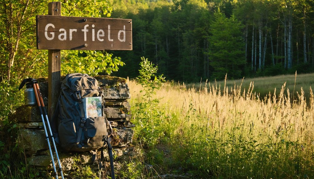
Getting to Glastenbury means committing to 22.3 miles of backcountry terrain, so what you carry matters as much as how you hike. You’re heading into a remote landscape wrapped in local legends and scattered historical artifacts, and the wilderness won’t wait for you to improvise.
Pack smart with these three essentials:
- Navigation tools – A detailed topographic map and compass, since cell service disappears fast out here.
- Overnight gear – A lightweight shelter, sleeping bag, and two days’ worth of food and water filtration.
- First aid and emergency kit – Include a headlamp, fire starter, and whistle for unexpected situations.
You earn Glastenbury’s atmosphere through effort. Respect the terrain, move with intention, and you’ll arrive ready to explore on your own terms.
The Bennington Triangle and Glastenbury’s Eerie Reputation
Glastenbury doesn’t just carry the weight of abandonment — it sits inside one of New England’s most unsettling geographic mysteries. The Bennington Triangle, a loose region surrounding this remote southern Vermont terrain, earned its name from a cluster of unexplained disappearances reported throughout the 1940s and 1950s. Nobody vanished with explanation, and nobody left clear answers behind.
That history feeds directly into Glastenbury‘s haunted legends. You’re not just walking through a collapsed 19th-century settlement — you’re moving through land where folklore origins run deep, shaped by real events that still lack resolution.
The dense forest, the silence, and the sheer remoteness reinforce every story you’ve heard. Whether you believe the paranormal framing or not, the atmosphere here demands your respect and your full attention.
Frequently Asked Questions
Is a Permit Required to Camp Overnight Near Glastenbury?
The knowledge doesn’t confirm specific camping regulations or permit requirements near Glastenbury. You’ll want to check directly with Vermont’s Green Mountain National Forest for current overnight camping rules before hitting the trail.
Are Dogs Allowed on the Trail Leading to Glastenbury?
Coincidentally, many adventurers bring their dogs on Vermont’s backcountry trails — you can too! Dogs are generally allowed, but monitor dog safety closely, as trail conditions on this remote, rugged route demand leashed, trail-ready companions.
What Is the Best Season to Visit Glastenbury Safely?
Late summer through early fall’s your best window — you’ll find clear trails, peak historical preservation conditions, and fewer wildlife encounters. It’s when Glastenbury’s remote backcountry truly opens up, letting you explore freely and safely.
Is There Cell Service or Emergency Contact Access Along the Trail?
Like a signal lost at sea, cell service vanishes along Glastenbury’s remote trail. You shouldn’t rely on your phone for emergency contacts; instead, carry a satellite communicator and share your itinerary with someone reliable beforehand.
Are There Any Guided Tours Available to Glastenbury Ghost Town?
You won’t find official guided tours to Glastenbury, but you can explore it independently, embracing true freedom. Research historic preservation efforts, prepare for wildlife encounters, and blaze your own trail through this hauntingly remote Vermont ghost town.
References
- https://happyvermont.com/2014/10/23/glastenbury-ghost-town/
- https://www.youtube.com/watch?v=ScW-H7A8yL8
- https://www.burlingtonfreepress.com/story/news/2018/10/29/history-space-tale-two-vt-ghost-towns/38202243/
- https://onlineutah.us/garfieldhistory.shtml
- https://www.youtube.com/watch?v=2fvPo9iQC-w
- https://www.youtube.com/watch?v=Mf7cQUCM3hI
- https://thebridgevt.org/2022/10/ghost-towns-of-new-england/
- http://freepages.rootsweb.com/~gtusa/history/usa/vt.htm
- https://www.onlyinyourstate.com/experiences/vermont/ghost-town-vt
- https://newenglandwithlove.com/ghost-towns-in-vermont/