Start your trip in Fredonia, using 10392 Jade Rd as your launching point, then head northeast about eight miles toward Guilford’s ghost town site along the Verdigris River. You’ll find foundation stones, old mill ruins, and overgrown lot boundaries that once outlined a thriving 1870s frontier community. April and October are your best bets for clear access before vegetation takes over. Stick around — there’s far more to uncover about what Guilford left behind.
Key Takeaways
- Use 10392 Jade Rd in Fredonia as your starting point, heading northeast about eight miles toward Guilford, stopping three miles short of Benedict.
- Visit in April or October for mild weather, accessible ruins, and better visibility before summer vegetation obscures the site.
- Carry GPS apps like OnX Maps or Gaia GPS with offline maps downloaded, plus a field notebook for logging coordinates and observations.
- Cross-reference 1870 Wilson County plat maps with satellite imagery to pinpoint Guilford’s exact location along the Verdigris River.
- Focus exploration near the Verdigris River, where mill foundations, dam remnants, foundation stones, and depression marks remain visible across the site.
Guilford Kansas Was a Real Town: Then the River Won
Before the river swallowed its ambitions, Guilford was a town that meant business. By 1870, you’d have found a flour mill, law office, doctor’s office, blacksmith shop, printing plant, and even a snakebite antidote resort packed into a hamlet of barely a dozen houses.
The Guilford Town Company formally incorporated the settlement on August 5, 1870. A newspaper, the *Guilford Citizen*, rolled off the press that same April. Settlers had been staking claims along the Verdigris River since 1858, building something real from scratch.
Then momentum stalled. The post office closed permanently in 1922, and the town quietly disappeared.
Today, historical preservation efforts keep Guilford’s story alive, and tourist accessibility remains reasonable — you can still locate the abandoned townsite about eight miles northeast of Fredonia.
What’s Left of Guilford, Kansas Today?
Although the post office is long gone and the streets have returned to earth, some ruins still mark where Guilford once stood along the Verdigris River. You won’t find a bustling town here — just quiet land, scattered traces, and the weight of history beneath your feet.
Historical artifacts tied to the mill, early storefronts, and frontier life have largely faded, but the site still rewards curious explorers willing to look closely. Preservation efforts remain minimal, so what survives does so on borrowed time.
Use 10392 Jade Rd in Fredonia as your starting point, then head northeast. Bring a map, respect the land, and let the silence tell the story that records only partially capture.
How to Find the Guilford Townsite in Wilson County?
Finding the Guilford townsite takes a little navigation, but the landmarks are straightforward once you know what to look for. Head to Wilson County and position yourself roughly eight miles northeast of Fredonia or about three miles southeast of Benedict. Use 10392 Jade Rd, Fredonia, as your GPS starting point — it sits southeast of the Fredonia roundabout and puts you close to the abandoned site along the Verdigris River.
Once you’re there, you’ll notice some ruins still standing, quiet reminders of a town that once had mills, stores, and printing presses. Local folklore ties the landscape to early frontier life, and preservation efforts have kept the history accessible for curious travelers.
Explore carefully, take photos, and let the silence tell the story.
What the Guilford Ruins Actually Look Like on the Ground
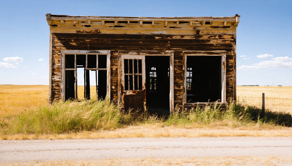
When you arrive at the Guilford townsite, you’ll find scattered remnants rather than standing structures, with overgrown foundations hinting at what once bustled as a hamlet of ten or a dozen houses.
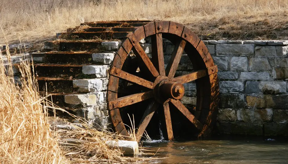
You can trace the old mill area near the Verdigris River, where the 1870 dam and Akin flour mill once drove the town’s economy.
Nature has largely reclaimed the site, but if you look closely, partial ruins still push through the vegetation, rewarding patient explorers with tangible echoes of Guilford’s frontier past.
Scattered Remnants Still Visible
What you’ll actually find at the Guilford townsite is modest but evocative — some ruins remain scattered across the landscape, quiet evidence that a real community once stood here along the Verdigris River. The archaeological significance isn’t flashy, but it’s real. Preservation challenges mean you’ll need sharp eyes and patience.
Watch for these remnants as you explore:
- Structural foundations partially reclaimed by vegetation
- Depressions marking where buildings once anchored the townsite
- Stone traces near the former mill and dam area along the river
- Overgrown lots where Samuel Morse’s store and neighboring businesses operated
- Subtle grade changes revealing old roadbeds that connected the community
Come prepared with good boots, a map, and curiosity. The land tells Guilford’s story quietly — but it does still tell it.
River And Mill Traces
The mill and dam area along the Verdigris River is where Guilford’s industrial past comes into sharpest focus. When you walk the riverbank, you’re tracing the same corridor where workers dammed the Verdigris in 1870 and raised the Akin flour mill that same year.
River erosion has reshaped the shoreline considerably since then, but you can still identify mill foundations embedded in the landscape if you look carefully. The stonework tells a story that written records can’t fully capture.
You’ll notice how the river’s current has undercut certain sections, slowly reclaiming what settlers once built. Standing here, you get a visceral sense of how central water-powered industry was to Guilford’s brief but ambitious life before the town ultimately vanished from Kansas maps.
Overgrown Foundations Remain
a quiet, overgrown stretch of Wilson County land where foundation stones push up through layers of grass and root systems that have spent a century reclaiming their territory. Urban decay here isn’t dramatic — it’s subtle, patient, and completely honest.
You’ll find traces of Guilford if you look carefully:
- Stone foundations partially buried under dense grass
- Depressions in the earth marking former cellar locations
- Scattered rock clusters where structures once stood
- Vegetation patterns revealing old lot boundaries
- Fragmented ruins confirming some physical presence remains
Heritage preservation hasn’t touched this place formally, which means what you’re walking through is raw and unfiltered. Nobody’s staging anything for you.
The land tells its own story, and you’re free to read it exactly as it stands.
Best Time to Visit the Verdigris River Ghost Town Corridor
Timing your visit to the Verdigris River ghost town corridor can make or break the experience. Late spring and early fall offer the clearest access to Guilford’s abandoned townsite, when vegetation hasn’t fully swallowed the overgrown foundations showing urban decay at every turn.
Summer heat brings dense growth that obscures whatever preservation challenges haven’t already claimed the remaining ruins. Winter visits expose more structural remnants but turn rural Wilson County roads muddy and unpredictable.
You’ll want dry conditions, especially traveling from Fredonia northeast toward the site. April and October hit that sweet spot — mild temperatures, manageable ground cover, and good natural light for photography.
Plan your route using Benedict as a northern landmark and give yourself enough daylight to explore responsibly before conditions change.
Wilson County Stops Worth Pairing With the Guilford Site
While you’re tracing Guilford’s ghost town story, pair your visit with a stop in Fredonia’s historic downtown, just eight miles southwest, where you’ll find preserved storefronts and local history worth an hour of your time.
Head a few miles northwest to Benedict for a look at the quiet rural landmarks that define Wilson County’s small-town character.
Along the way, follow the Verdigris River corridor to connect the natural geography that once made Guilford a mill town and trading hub to the broader landscape still shaping southeast Kansas today.
Fredonia’s Historic Downtown
Before heading out to the Guilford townsite, you’ll want to spend some time in Fredonia, the Wilson County seat that sits roughly eight miles southwest of the abandoned settlement. Its historic architecture and river ecology make it a natural complement to your ghost town itinerary.
Explore Fredonia’s downtown before hitting the back roads:
- Walk the courthouse square and study the preserved storefronts lining the main streets
- Stop at local diners where locals share regional stories freely
- Check out river access points along the Verdigris to understand the ecology that shaped early settlement
- Use 10392 Jade Rd as your southeastern launch point toward the Guilford townsite
- Browse any local historical society displays covering Wilson County’s frontier past
Fredonia grounds your trip with context before the silence of Guilford speaks for itself.
Benedict’s Rural Landmarks
Just three miles northwest of the Guilford townsite, Benedict offers a small but grounding rural stop that keeps your Wilson County road trip cohesive rather than scattered.
You’re not visiting a polished museum here — you’re passing through a quiet community where historical preservation exists in the landscape itself: old structures, rural roads, and the kind of stillness that invites reflection.
Benedict anchors community memory by simply enduring, holding its place in southeast Kansas long after neighboring towns like Guilford vanished entirely.
Use it as a practical waypoint and a meaningful contrast. Seeing a living rural community beside an abandoned townsite sharpens your understanding of why some places survived and others didn’t.
That comparison alone makes Benedict worth the short detour.
Nearby Verdigris River Sites
Benedict gives you a living rural anchor, but the Verdigris River itself gives you the connective tissue running through this entire stretch of Wilson County history. Follow the river corridor and you’ll encounter layered stories of settlement, industry, and river ecology that shaped everything Guilford became.
Pair your Guilford visit with these nearby Verdigris-area stops:
- The former Akin flour mill site, where the river was dammed in 1870
- Bottom-land claim areas opened after the 1865 Osage treaty
- Guilford Township’s early homestead corridors along the west bank
- Historic preservation markers identifying original settlement patterns near the Verdigris
- Natural river access points showcasing the ecology that drew settlers here originally
The river doesn’t just border Guilford’s story — it created it.
The Fredonia to Benedict Ghost Town Route, Mile by Mile
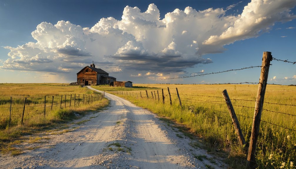
Heading northeast out of Fredonia, you’ll follow a route that covers roughly eight miles before the old Guilford townsite comes into view along the Verdigris River. Use 10392 Jade Rd as your southeast-of-roundabout launching point, then track the county roads toward Benedict, stopping about three miles short of that small community.
You’re driving through open Wilson County landscape where frontier settlers staked claims as early as 1858. Watch for the Verdigris bottomlands — that river corridor shaped everything Guilford became. Archaeological findings in the area hint at the mill foundations and early structures once anchoring this 1870 incorporated town.
Preservation efforts remain modest, but some ruins still mark the site. Benedict sits just ahead, giving you a clean endpoint and turnaround for this compact, rewarding southeast Kansas ghost town corridor.
Gear and Apps That Make Locating Kansas Ghost Towns Easier
Once you’ve parked at the Jade Road launch point southeast of Fredonia, the real challenge shifts from driving to locating — and that’s where the right gear separates a frustrating scramble from a productive explore. Ghost town preservation depends partly on informed visitors who arrive prepared.
Pack these essentials before heading out:
- OnX Maps or Gaia GPS — overlays property boundaries onto satellite imagery
- A downloaded offline map — cell service drops fast near the Verdigris bottomlands
- Binoculars — spot historic site signage or structural remnants from a distance
- A portable battery pack — keeps devices running during longer explores
- A field notebook — record GPS coordinates, photograph captions, and personal observations
These tools keep you oriented, respectful of private land, and genuinely connected to what Guilford once was.
Maps and Site Photos That Show Where Guilford Once Stood

You can pinpoint the abandoned Guilford townsite about eight miles northeast of Fredonia and three miles southeast of Benedict, right along the Verdigris River where the original settlement took root in the 1860s.
Historical maps from the township’s 1870 incorporation period show how the Guilford Town Company laid out the community on both sides of the river, giving you a clearer picture of how ambitious this once-thriving hamlet actually was.
While Guilford sits abandoned today, some ruins remain on-site, and pairing those physical traces with period maps and photographs will sharpen your understanding of exactly where the flour mill, stores, and print shop once stood.
Locating The Abandoned Townsite
Finding the abandoned townsite of Guilford takes a bit of rural steering, but the landmarks make it manageable. You’ll want to anchor your route around Wilson County’s rural grid, keeping cultural preservation in mind as you explore this archaeologically significant stretch of the Verdigris River valley.
Use these reference points to zero in on the site:
- Start at 10392 Jade Rd, Fredonia, southeast of the Fredonia roundabout.
- Head northeast roughly eight miles from Fredonia’s center.
- Position yourself three miles southeast of Benedict as a secondary checkpoint.
- Look for the Verdigris River — Guilford developed along both its banks.
- Watch for partial ruins, since some physical traces still remain on-site.
You’re steering toward a once-thriving frontier community that quietly vanished from Kansas’s living map.
Historical Maps Of Guilford
Historical maps give you something no GPS coordinate can — a sense of what Guilford looked like when it was alive. Pull up an 1870s-era Wilson County plat map, and you’ll see the Guilford Town Company’s planned streets straddling both banks of the Verdigris River. That map accuracy reveals a community that once had a flour mill, multiple stores, a printing plant, and a law office — all packed into a hamlet of ten or twelve houses.
Cross-reference those early plats with modern satellite imagery, and you’ll pinpoint the abandoned townsite roughly eight miles northeast of Fredonia. The historical significance becomes undeniable when you compare then and now — a planned, incorporated town reduced to scattered ruins along a Kansas river bend.
Ruins Visible Today
Though the town of Guilford vanished from Wilson County’s active landscape more than a century ago, some ruins remain along the Verdigris River to confirm it was once real. These fragments carry archaeological significance, connecting you directly to frontier Kansas.
Watch for these remnants when you visit:
- Foundation stones from early structures near the original townsite
- Mill remnants tied to the 1870 Akin flour mill construction
- River corridor traces where the Verdigris was once dammed
- Overgrown lot boundaries outlining the Guilford Town Company’s 1870 plat
- Scattered debris fields hinting at the blacksmith shop and commercial district
Preservation challenges mean these traces won’t last forever. Weather, vegetation, and neglect steadily reclaim what settlers built. Visit now before the landscape swallows the last evidence entirely.
Other Lost Wilson County Towns to Add to Your Route
Wilson County holds more ghost towns beyond Guilford, so you can easily stretch your road trip into a fuller day of exploration. Southeast Kansas scattered dozens of small settlements along its river corridors, and many vanished just as Guilford did once railroads bypassed them or post offices closed.
As you drive the county’s rural roads, watch for remnants of historic architecture — old foundations, stone structures, and weathered outbuildings that hint at communities that once thrived. Local legends often attach themselves to these forgotten places, giving each stop its own character and story worth tracking down.
Use Fredonia as your home base, fuel up, and map a loop through Wilson County‘s ghost town sites. You’ll cover surprising ground without driving far.
Frequently Asked Questions
Who Was the First Postmaster When Guilford’s Post Office Opened?
Andrew Akin served as Guilford’s first postmaster when the post office opened on July 23, 1868. He’s a key figure in early community development and historical postal services that helped this frontier town thrive and grow.
Why Did Guilford’s Post Office Close Briefly Between 1886 and 1888?
The records don’t reveal why Guilford’s post office briefly closed between 1886 and 1888. As you explore Historic ghost towns using Kansas travel guides, you’ll find this gap remains one of the town’s intriguing unsolved mysteries.
What Was the Snakebite Antidote Resort in Guilford Actually Offering?
In 1870, Guilford boasted six unique businesses — and the snakebite antidote resort likely offered you whiskey-based local folklore remedies tied to frontier medicinal practices, blending genuine frontier survival instincts with entrepreneurial creativity you’d have enthusiastically embraced back then.
Who Founded the Guilford Town Company That Formally Planned the Town?
The records don’t name who founded the Guilford Town Company, but you’ll find that historical settlement led to its town planning in 1870, when this bold frontier group formally shaped Guilford’s future on the Verdigris River.
Did the Akin Flour Mill Use the Dammed Verdigris River for Power?
The records don’t explicitly confirm it, but you’ll find it’s highly likely — the Verdigris River’s damming and the Akin flour mill’s construction both happened in 1870, classic river damming techniques powering historic watermills of that era.
References
- https://www.facebook.com/groups/257287964450899/posts/3146648835514783/
- https://legendsofkansas.com/guilford-kansas/
- https://legendsofkansas.com/wilson-county-extinct-towns/
- https://en.wikipedia.org/wiki/List_of_ghost_towns_in_Kansas
- https://legendsofkansas.com/every-place-kansas-g/
- https://ksgenweb.org/KSWilson/library/history/guilford.html
- https://vi.wikipedia.org/wiki/Danh_sách_phố_ma_tại_Kansas
- https://www.youtube.com/watch?v=wocJ7F-jdrs
- https://kansaspress.ku.edu/9780700603688/
- https://www.youtube.com/watch?v=KBXINX0xqnU