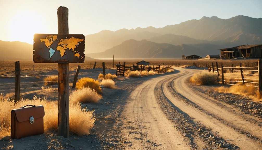
You’ll find Joe Walker’s ghost town site via Walker Basin Road, accessible late spring through early fall when temperatures reach the mid-70s to mid-90s°F. Named after frontier pathfinder Joseph Reddeford Walker, the settlement rose from Hamp Williams’ 1866 discovery that yielded $12,000 in six days. Today, only a flooded mine shaft serving as an irrigation reservoir and abandoned mill equipment remain from the $600,000 lifetime producer. Bring robust camping gear, navigation tools, and downloaded maps—this remote location demands thorough preparation to expose its complete historical narrative.
Key Takeaways
- Access Joe Walker Town via Walker Basin Road through Thompson Canyon at 6,499 feet, intersecting the historical Stockton-Los Angeles Road.
- Visit late spring through early fall when temperatures range from mid-70s to mid-90s°F and roads are most accessible.
- Bring robust camping gear, navigation tools, water filtration systems, downloaded maps, and emergency communication devices for remote conditions.
- Explore nearby ghost towns including Silver City, Bodie State Historic Park, Randsburg, and Calico Ghost Town during your trip.
- Expect minimal remains at the site: only a flooded mine reservoir and non-operational mill equipment survive today.
The Historical Legacy of Joseph R. Walker and His Namesake Settlement
When Joseph Reddeford Walker departed his family’s Tennessee homestead in 1818, he couldn’t have anticipated that his name would become synonymous with American western expansion. His frontier guiding experiences transformed him from a Fort Osage settler into the pathfinder who’d forge nearly 500 miles of California Trail.
You’ll find his trapping and trading adventures documented in clerk Zenas Leonard’s diary, detailing the 1833 Sierra Nevada crossing that made him the first white man to record Yosemite Valley. Walker’s reconnaissance work established critical routes—including the 1843 Fort Hall-to-Truckee River passage and the snow-free gap bearing his name.
Before his western expeditions, Walker served as sheriff of Jackson County, Missouri, from 1827 to 1830, gaining valuable frontier law enforcement experience. He’d guide luminaries like Frémont and Carson before retiring to California, where settlements would commemorate his legacy as the West’s superior mountaineer. His accomplishments were particularly remarkable given he lacked formal education, relying instead on his natural talents for recalling geography and topography.
Gold Rush Prosperity: The Rise of the Joe Walker Mine
The mountaineer’s legacy found permanent form on March 20, 1866, when prospector Hamp Williams established the Joe Walker Mine in the basin that bore the explorer’s name. Williams sold his Lena and Hidden Queen claims for $2,000, triggering remarkable mining profitability in Kern County’s Quito Mining District.
You’ll find the operation’s success documented through three key achievements:
- Early operations netted $12,000 in just six days
- Upper ore portions exceeded $100 per ton
- Lifetime production reached $600,000
A 20-stamp mill hauled by oxen from San Francisco through Visalia processed ore averaging $24 per ton. Steam engines powered the stamps, compressors, and hoists. However, expansion challenges emerged when groundwater flooded shafts faster than pumping capacity allowed, even after importing an eleven-ton Cornish engine from England.
The mine’s profitability attracted Senator John P. Jones, who became one of several owners attempting to maintain operations despite persistent flooding problems. The Gibson brothers arrived from Missouri in 1886, joining other settlers drawn to the region’s mining opportunities and becoming part of the growing mountain community.
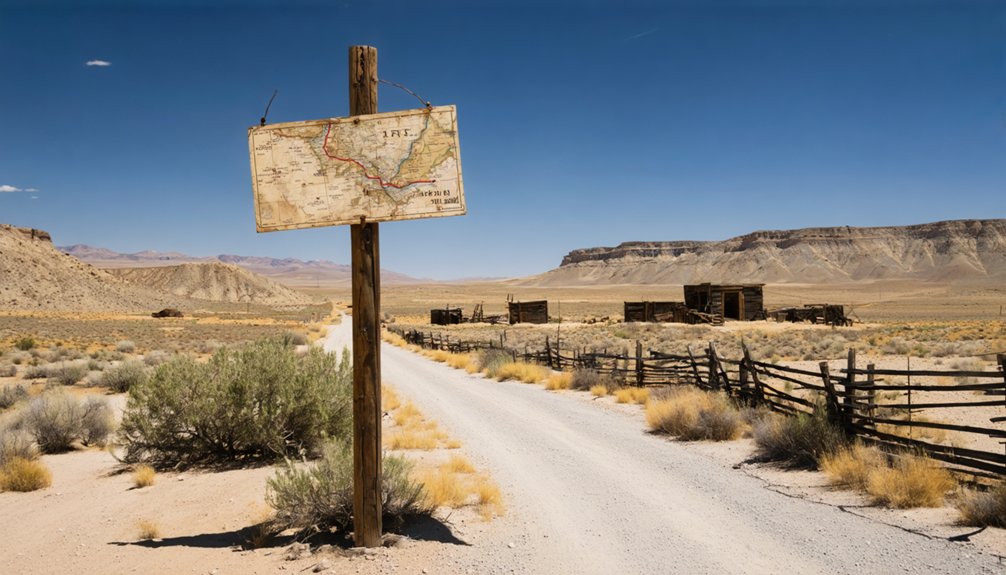
What Remains at the Joe Walker Town Site Today
Little physical evidence survives at Joe Walker Town’s original site beyond the repurposed mine infrastructure that now serves Walker Basin’s agricultural operations. You’ll find the existing mining infrastructure transformed into functional water systems—the old Joe Walker Mine shafts now operate as an irrigation reservoir supplying surrounding farms.
The 20-stamp mill hauled from San Francisco and the Cornish pumping engine from England remain non-operational, relics of failed attempts to combat persistent flooding that ultimately forced abandonment after 1941.
No structures from the community that once housed over 100 miners and 12 families stand today. The site’s repurposed agricultural uses represent its primary modern function, with the flooded mine providing essential water storage rather than gold. The mine originally produced $600,000 during its operational lifetime before flooding issues led to its eventual conversion. The town bears the name of Joseph Rutherford Walker, the legendary mountaineer and explorer who blazed trails across California’s Sierra Nevada in the 1830s. You’re exploring terrain where industry yields to practicality.
Getting There: Routes and Roads to Walker Basin
From Caliente-Bodfish Road near Rankin Ranch, Walker Basin Road provides primary access to Joe Walker Town‘s former location at 35°25′20″N 118°29′35″W. This rural Sierra Nevada route terminates at Piute Mountain Road, following the historical Baker Stage Road alignment documented in 1935 Division of Highways maps.
Critical route segments include:
- Thompson Canyon passage through mountainous terrain at 6,499-foot elevation
- Junction with Piute Mountain Road connecting east to Claraville
- Historical Stockton-Los Angeles Road intersection at Fountain Springs
You’ll encounter unpaved and gravel sections requiring off-highway preparation. Road maintenance remains minimal in these remote areas, with driving conditions varying seasonally. Private property borders former mine sites. The 1935 mapping standards still guide current alignment through Walker Basin, named after explorer Joseph R. Walker. Note that a separate Walker CDP exists in Mono County, California, located at 5,403 feet elevation near Coleville. Verify access permissions before departure. Before heading out, check current traffic estimates and road conditions for the Walker Basin area to ensure safe passage through these remote mountain routes.
Best Time to Visit and What to Bring
You’ll find the most accessible conditions from late spring through early fall when temperatures range from the mid-70s to mid-90s°F and snowfall doesn’t obstruct the remote roads leading to Joe Walker Town.
Your packing list must account for extreme variability: annual temperatures swing from 16°F winter lows to 89°F summer highs, while the area receives 360 inches of snow and experiences 277 sunny days yearly. The region’s very low humidity can cause discomfort including dry skin and irritated eyes, making moisturizer and eye drops essential additions to your supply kit. Wind conditions remain relatively stable throughout the year, with average speeds of 8-11 mph that rarely pose challenges for outdoor activities or road travel. Proper gear preparation—including layered clothing, sturdy boots, sun protection, and a sub-20°F sleeping bag—becomes critical when visiting this isolated site where weather conditions can shift rapidly and no services exist for miles.
Ideal Seasonal Weather Conditions
Planning your visit to Joe Walker Town requires careful consideration of the region’s extreme seasonal variations and demanding climate patterns. You’ll find best conditions during late spring through early fall, when temperatures permit unrestricted access to scenic viewpoints and outdoor recreation opportunities.
Peak visiting seasons offer distinct advantages:
- Late Spring (May-June): Temperatures range 63-83°F with minimal precipitation (0.74 inches), perfect for extended exploration
- Summer (July-August): Peak highs of 93°F, 250-277 sunny days, and low humidity (27-38%) maximize daylight hours
- Early Fall (September-October): Comfortable 68.5°F averages with decreasing precipitation
Winter visits prove challenging with temperatures dropping to 21-27°F, 360 inches annual snowfall, and 85 precipitation days concentrated December through February. Summer’s dry conditions and 11-12 mile visibility provide unobstructed documentation opportunities.
Essential Gear and Supplies
Given the remote location and harsh environmental conditions surrounding Joe Walker Town, visitors must prepare detailed equipment lists addressing both desert extremes and high-altitude challenges. You’ll need robust camping gear if planning overnight stays, including weatherproof shelter and cold-weather sleeping systems rated for mountain temperatures.
Pack thorough first aid supplies accounting for limited emergency access—include blister treatment, snake bite protocols, and sun protection essentials.
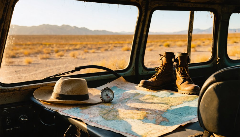
Your vehicle requires backup navigation tools beyond GPS, detailed topographic maps, emergency recovery equipment, and extra fuel capacity. Bring sufficient water reserves—minimum one gallon per person daily—plus filtration systems. Essential documentation includes downloaded area maps, historical site coordinates, and emergency contact information.
Self-reliance defines successful ghost town exploration; federal land regulations demand leave-no-trace practices and personal accountability.
Photography and Exploration Equipment
Beyond survival necessities, specialized photography and exploration equipment transforms a basic ghost town visit into extensive documentation of Joe Walker Town’s 1860s mining legacy. You’ll need wide-angle lenses capturing expansive basin landscapes and deteriorating structures. Camera tripods stabilize shots against variable mountain winds at 6,499 feet elevation, while polarizing filters eliminate glare on weathered mine remnants and sunlit rock faces.
Essential documentation tools include:
- DSLR or mirrorless cameras with high ISO capabilities for dark mine interiors
- GPS devices mapping remote Walker Basin trails and unmarked claim boundaries
- Headlamps illuminating abandoned adits and collapsed timber frameworks
Drones capture aerial perspectives of the 1866 settlement layout, though you’ll verify Kern County airspace compliance beforehand. Sturdy hiking boots navigate uneven terrain around flooded shafts, while binoculars identify distant historic markers from Walker Pass approaches.
Nearby Ghost Towns and Attractions Worth Exploring
Since Joe Walker Town occupies a strategic position in Kern County’s historical mining corridor, visitors can extend their exploration to numerous documented ghost towns within a manageable driving radius. Neighboring mining sites include Silver City Ghost Town in Bodfish, dating to the 1850s near Lake Isabella, plus Piute, Joyfull, and Kern River Slough sites.
You’ll find Bodie State Historic Park‘s preserved structures approximately two hours north, while Randsburg offers desert exploration with Route 66 remnants. Ballarat positions itself along established ghost town routes. Nearby visitor facilities concentrate around Lake Isabella and Ridgecrest, providing fuel, supplies, and lodging between expeditions.
Calico Ghost Town near Barstow delivers restored infrastructure with mine tours. Document coordinates and access conditions before departure—many sites require high-clearance vehicles and lack cellular coverage.
Safety Tips for Exploring Remote Mining Sites
Before you enter any abandoned mining site near Joe Walker Town, you must recognize that historic operations left behind unstable shafts, deteriorated support structures, and potential toxic gas accumulations. Your safety depends on carrying proper protective equipment—hard hats, steel-toed boots, high-visibility clothing, and respiratory protection—alongside emergency communication devices and first aid supplies.
Test all equipment before departure, verify weather conditions, and inform someone of your exact location and expected return time.
Understand Historic Mining Hazards
California’s abandoned mining landscape harbors documented lethal risks that you’ll encounter at sites like Joe Walker Town, where 100,000 shafts, pits, tunnels, and trenches scatter across public lands—three times more features than appear on standard 7.5-minute topographic maps. Between 2000-2021, state estimates recorded 37 deaths and 67 near-misses at these historical mining hazards, including a 700-foot motorcycle fall into an uncovered shaft.
You’re facing three critical contamination threats:
- Arsenic and lead exposure through dust inhalation at mine sites
- Mercury pollution affecting Sierra Nevada waterways since the Gold Rush
- Asbestos concentrations reaching 40% at locations like Foresthill’s Marall Chrome Mine
Abandoned mine remediation challenges persist because less than 50% appear in legacy databases, and California lacks a statewide clearinghouse coordinating locations and hazard data.
Essential Gear and Preparation
Given these documented hazards at Joe Walker Town and similar abandoned mining sites, you’ll need specialized protective equipment that addresses both immediate physical dangers and long-term contamination risks. Personal Protective Equipment includes hard hats for collapsing timbers, steel-toed boots against punctures, and respirators filtering toxic dust and gases.
Don’t skimp on safety glasses—debris from deteriorating structures poses constant eye hazards.
Monitoring And Detection Devices prove essential before entry. Gas monitors detect oxygen-depleted atmospheres and carbon monoxide accumulation in sealed shafts. Air quality sensors identify toxic buildup that’s killed previous explorers. Cap lamps provide visibility while keeping hands free for climbing.
Establish check-in protocols—cell service is nonexistent. Pack emergency communication devices and inform someone of your exact location and expected return time.
Frequently Asked Questions
Are There Any Camping Facilities or Accommodations Near Joe Walker Town?
You’ll find several accommodation options near Joe Walker Town, including Coleville/Walker KOA Holiday and Walker RV Park. These facilities offer local amenities like full hookups, Wi-Fi, fishing access, and clean bathrooms for your independent exploration needs.
Do I Need a Special Permit to Visit the Mine Site?
No, you don’t need special permits for casual visits—like stepping through an unbarred entrance. However, you should respect park regulations and environmental concerns. Avoid disturbing artifacts or digging, as active mining requires proper county permits and reclamation plans.
Is the Road to Walker Basin Accessible for RVS or Trailers?
No specific RV restrictions exist for Highway 178, but you’ll need to verify dirt road conditions and vehicle clearance requirements for the final basin approach. Check Caltrans QuickMap or call 1-800-427-7623 before departing.
Are There Any Guided Tours Available for Joe Walker Town?
You won’t find guided photography tours or scheduled historical reenactment events here—Joe Walker Town’s charm lies in self-directed exploration. Like Walker himself blazing trails solo, you’ll discover this ghost town independently, documenting your own authentic adventure through California’s untamed past.
As you wander the remnants of Joe Walker Town, consider venturing further to explore other ghost towns near Jay, California. Each site tells a unique story, with crumbling buildings and echoes of a bustling past waiting to be uncovered. These abandoned places not only offer a glimpse into history but also provide a tranquil backdrop for reflection and photography away from the crowds.
Can I Bring My Dog to the Ghost Town Site?
No documented pet friendly policies exist for Joe Walker Town since it’s on private property. You’ll need landowner permission first. If granted access, expect standard on leash requirements for safety around abandoned mine shafts and historic structures.
References
- https://kids.kiddle.co/Joe_Walker_Town
- https://ohp.parks.ca.gov/?page_id=21423
- http://www.gribblenation.org/2026/01/walker-basin-road.html
- http://www.fencepostpaper.com/Little_Mountain_Valley_-_Jan_2013.pdf
- https://npgallery.nps.gov/GetAsset/42c42461-079b-4afb-8918-d379a57835a2
- https://westernmininghistory.com/mine-detail/10048694/
- https://en.wikipedia.org/wiki/Walker
- https://factcards.califa.org/exp/walker.html
- https://www.californiatrailcenter.org/joseph-r-walker/
- https://kids.britannica.com/kids/article/Joseph-Walker/632144


