You can’t simply drive to King Island—this 2.5-square-mile granite outcrop sits 86 miles northwest of Nome in the Bering Sea, accessible only by chartered plane or boat when weather permits. The abandoned Iñupiat village of Ukivok clings to 45-degree slopes, its weathered stilt houses defying gravity above 700-foot cliffs. You’ll need 7-10 days, waterproof gear, emergency provisions, and respect for the descendants who still return to hunt on this sacred ground. Below, you’ll discover the logistics that’ll transform this vision into reality.
Key Takeaways
- King Island sits 86 miles northwest of Nome in the Bering Sea, accessible only by chartered plane or boat.
- Weather dictates all access to this remote 2.5-square-mile granite outcrop with 1,050-foot cliffs and steep terrain.
- The abandoned village of Ukivok features stilt houses on 45-degree slopes, with structures still standing decades after closure.
- Essential gear includes waterproof equipment, bear spray, emergency provisions, offline maps, and 7-10 days minimum for the journey.
- Respect Iñupiat cultural heritage; descendants return annually, and visitors need permission to access this sovereign cultural site.
Understanding King Island’s Remote Location and Geography
Rising from the Bering Sea like a granite fortress, King Island sits in splendid isolation 86 miles northwest of Nome—a rocky sentinel positioned where frigid Arctic waters meet the migratory routes of seals and walrus. You’ll find this 2.5-square-mile outcrop approximately 40 miles offshore from Wales, Alaska, its weathered granite cliffs rising 1,050 feet above sea level.
The island’s Cretaceous-era plutons have withstood millennia of erosion, creating the steep, unforgiving coastline you’ll encounter. Today, it’s part of the Alaska Maritime National Wildlife Refuge, ensuring wildlife habitat preservation for generations. The Inupiaq called it “Ugiuvak”—a place for winter—before Captain Cook renamed it in 1778.
Getting here requires serious planning; there’s no scheduled transportation to this fog-shrouded monument.
Transportation Options to Reach This Isolated Bering Sea Destination
No scheduled ferry docks at King Island’s cliffs, no airstrip cuts across its granite slopes, and no roads wind through terrain that exists only in the memories of its displaced Inupiaq residents. Reaching this abandoned Bering Sea settlement demands resourcefulness and serious planning.
Your journey requires multi-modal coordination:
- Fly to Nome via Alaska Airlines from Anchorage
- Arrange private air charters with local operators for reconnaissance
- Hire boat captains from Nome’s waterfront for landing attempts
Seasonal weather variability controls everything—summer’s brief window offers calmer seas, though fog persists. Winter ice surrounds the island entirely. Bush pilots familiar with Bering Sea conditions provide aerial surveys, but landing requires negotiating with experienced boatmen willing to navigate treacherous waters. No permits guarantee access; weather decides your fate.
What to Expect When Visiting the Abandoned Village of Ukivok
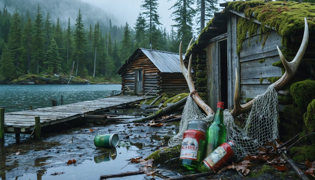
When you finally reach the rocky shores of Ukivok, you’ll confront a ghost village frozen in 1970—stilt houses clinging impossibly to 45-degree slopes, weathered frames still defying gravity above 700-foot cliffs. The schoolhouse stands nearly six decades after closure, that threatening boulder still perched above. You’ll find structures left intact, as if residents expected swift return, now facing historic preservation challenges from relentless Bering Sea winds and shifting geology dating to Precambrian eras.
Expect treacherous terrain—no flat ground exists for easy navigation. The long term environmental impact of erosion continuously threatens remaining driftwood frameworks. Recent National Science Foundation expeditions have reopened access for Ukivokmiut descendants, though visits remain rare. You’re witnessing architectural defiance: walrus-skin shelters evolved into improbable wooden dwellings that somehow endure where nature permits nothing permanent.
Essential Gear and Preparations for Your Journey
Successfully traversing to King Island demands preparation beyond typical road trips—you’re venturing into terrain where a single oversight transforms adventure into crisis. Meeting vehicle maintenance requirements starts with securing a high-clearance rental that permits the 61-mile gravel McCarthy Road, including crossings like Kuskulana Bridge. Physical maps supersede GPS where cell reception vanishes for days.
Your essential Alaska highway safety tips toolkit:
- Navigation redundancy: Offline Google Maps, AllTrails downloads, and physical maps from Copper Center visitor centers
- Emergency provisions: Non-perishables, extra water, satellite communicator, first aid, tire repair tools
- Weather defense: Waterproof boots, layered wind/water-resistant jackets, bear spray, sturdy gloves
Allocate 7-10 days minimum. Summer’s 9:00 p.m. daylight extends exploration, but lodging books fast—some campsites operate first-come-first-served, demanding early arrivals for remote access.
Respecting the Cultural Heritage of the Iñupiat People
Beyond the logistical checklist lies a responsibility that weighs heavier than any pack you’ll carry—honoring the living heritage of the Iñupiat people whose ancestors carved existence from King Island’s cliffs for nearly a millennium. This isn’t abandoned history you’re exploring; it’s Ukivok, where descendants still return annually to hunt walrus and gather from waters their families have known for generations.
Cultural appropriation concerns aren’t abstract here—removing artifacts, photographing sacred sites without permission, or treating this displacement as entertainment dishonors living living Iñupiat culture. The forced 1970 relocation didn’t erase King Islanders’ connection to their homeland. They maintain strong community identity in Nome, practicing ivory carving traditions and subsistence patterns that predate Captain Cook’s 1778 arrival.
Your presence requires permission, humility, and recognition that you’re guests on sovereign ground.
Frequently Asked Questions
Are There Any Accommodation Options Available on King Island Itself?
Looking for somewhere to pitch your tent? You’ll find no accommodation options, camping facilities, or services on uninhabited King Island. Since the 1970s evacuation, you’re limited to day trips to island, requiring careful planning for your ghost town exploration.
What Is the Best Time of Year to Visit King Island?
Visit King Island during mid-June through mid-August for ideal weather conditions and extended daylight. You’ll experience temperatures around 40°F-60°F, seasonal wildlife viewing opportunities, and calm seas—essential since you’ll need boat or helicopter access to reach this remote abandoned settlement.
Do I Need Special Permits to Land on King Island?
You’ll need special permits required for landing on King Island, as it’s within Native corporation boundaries. Landing procedures complicated by remote location, weather conditions, and restricted access—you must coordinate with Bering Straits Native Corporation beforehand.
Can I Enter the Abandoned Buildings in Ukivok?
You’ll find no explicit laws barring entry, but these decaying structures perch dangerously on 45-degree cliffs. Explore abandoned town buildings cautiously—they’re unstable after 60+ years. Respect local customs by coordinating with Ukivokmiut descendants who maintain this haunting site.
Are Guided Tours to King Island Available From Nome?
Your dream of island exploration hits a wall—no guided tours from nearby villages reach King Island. Transportation logistics to King Island demand charter flights or boats you’ll arrange independently, making this remote ghost town accessible only to determined, self-reliant adventurers.