Planning a ghost town road trip to Lonerock, Oregon means heading about 20 miles east of Condon via an unmarked gravel road off Highway 206. You’ll find an eerily intact 1898 townsite, complete with a church, schoolhouse, jail, and city hall. Visit in late spring or early fall for the best road conditions. Pack water, a spare tire, offline maps, and plenty of fuel. There’s far more to uncover about making this remote desert journey unforgettable.
Key Takeaways
- Lonerock is located about 20 miles east of Condon, reached via an unmarked gravel road off Highway 206 in Gilliam County.
- Visit during late spring or early fall for dry roads, mild temperatures, and optimal sightseeing conditions.
- Cell service is unreliable, so carry offline maps, a printed county map, and physical navigation tools.
- Pack essentials including extra water, snacks, a spare tire, sufficient fuel, and a first-aid kit for remote travel.
- Combine Lonerock with nearby ghost towns along Highway 207 and county roads, planning stops geographically to avoid backtracking.
Why Lonerock Is Oregon’s Most Intact Ghost Town
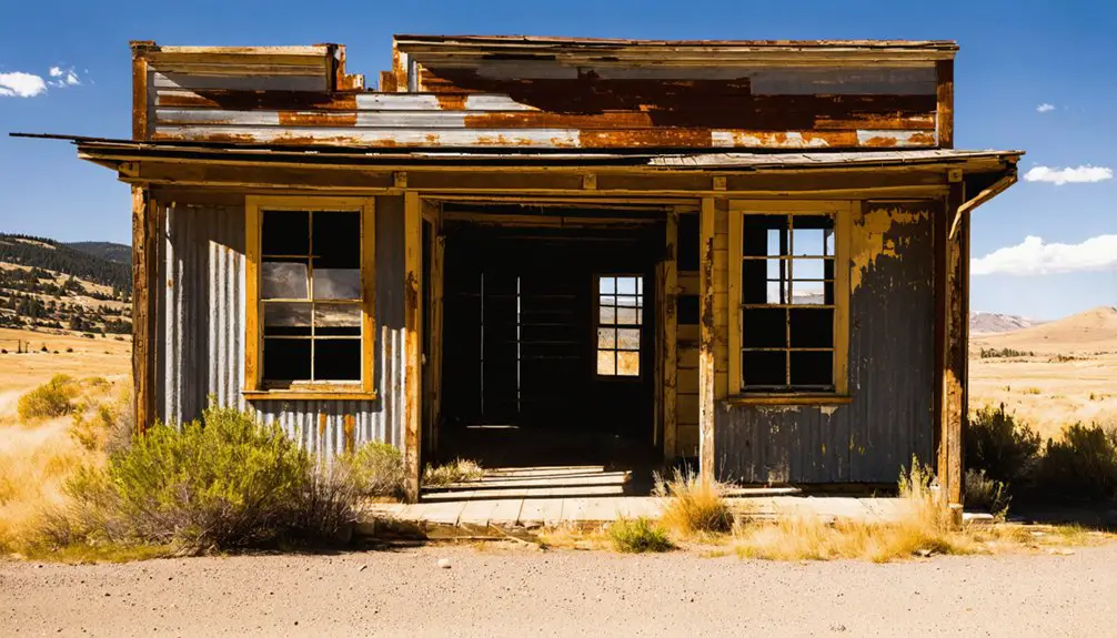
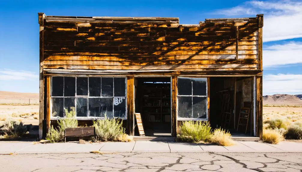
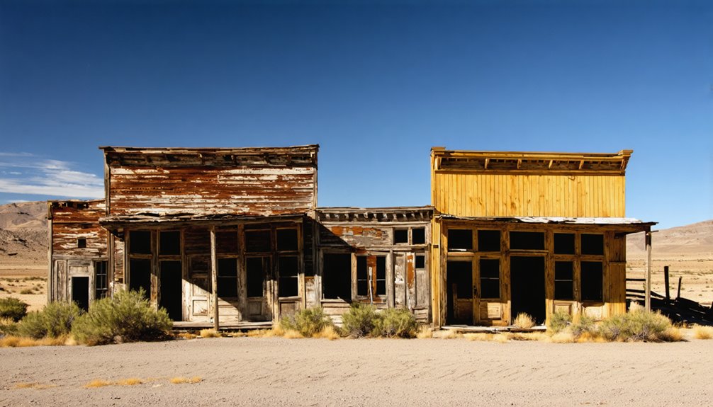
When most ghost towns surrender their bones to weather and time, Lonerock holds on. You’ll find an original 1898 church still standing, a schoolhouse, a jail, a former city hall, and a cemetery — all within a compact historic core that rewards the curious traveler.
That level of historical preservation is rare. Most frontier settlements left only foundations and rust. Lonerock kept its architectural integrity intact, giving you a genuine look at what a late 19th-century Oregon crossroads actually felt like.
The town’s 2020 census counted just 25 residents, so this isn’t a tourist-polished attraction. It’s the real thing — quiet, remote, and honest.
For anyone who values freedom over curated experiences, Lonerock delivers something most destinations simply can’t fake.
How Lonerock Went From Boomtown to Ghost Town
Lonerock’s rise followed a familiar frontier script: settlers arrived in 1881, planted roots at a practical crossroads, and built the kind of community that a growing agricultural region needed. A church, school, jail, and city hall took shape, and local history recorded a town with real momentum.
Then the momentum stopped. By World War I, shifting transportation routes and changing agricultural economics had quietly drained the population. No single dramatic collapse fuels the ghost stories here — just a slow, steady departure that left buildings standing and streets empty.
That gradual fade is part of what makes Lonerock haunting in the truest sense. You’re not visiting ruins; you’re walking through a place time simply passed by, its 1898 church and old jail still marking where a community once stood.
What’s Left Standing in Lonerock Today?
What surprises most visitors is how much of Lonerock actually survived. Unlike many ghost towns swallowed by time, this small Oregon settlement still holds a tight cluster of historical preservation wins worth seeing in person.
Most ghost towns vanish completely. Lonerock, Oregon defied that fate — and what survived is genuinely worth seeing.
The 1898 Lonerock Church anchors the site and showcases the modest architectural styles typical of late 19th-century frontier construction. Walk a little further and you’ll spot the old schoolhouse, a standing jail, a former city hall, and several aging homes scattered across the landscape.
The cemetery sits nearby, quietly marking the lives of early settlers.
These structures aren’t grand ruins — they’re intimate, human-scaled reminders of a working frontier community. You’re fundamentally stepping into a preserved snapshot of 1880s rural Oregon, and that’s exactly what makes Lonerock worth the drive.
How to Get to Lonerock, Oregon
Getting to Lonerock takes a little navigation know-how, but that’s part of the adventure. The town sits in Gilliam County, eastern Oregon, about 20 miles east of Condon.
You’ll branch off Highway 206 onto an unmarked gravel road, so bring a paper map or download offline maps before you leave cell range.
These travel tips will save you frustration: confirm your route in advance, check road conditions seasonally, and fuel up in Condon before heading out.
A standard 2WD vehicle handles the access road fine in dry conditions.
Approaching Lonerock this way frames the experience perfectly. The remote drive builds anticipation and connects you to the local history of frontier settlers who carved isolated lives into this high-desert landscape long before paved roads existed.
What Are the Road Conditions Into Lonerock?
Once you turn off Highway 206, you’ll follow an unmarked gravel road the rest of the way into Lonerock.
The road is passable in a standard 2WD vehicle, so you don’t need a truck or SUV to make the trip.
Just drive at a moderate pace, watch for loose gravel, and you’ll reach the historic townsite without trouble.
Unpaved Gravel Road Access
Reaching Lonerock means leaving the pavement behind and steering along an unmarked gravel road that branches off Highway 206, roughly 15 miles from town. You won’t find signage guiding your way, so bring a reliable map before you head out.
The road is generally passable in a standard 2WD vehicle, but conditions can shift depending on weather and season.
Once you arrive, the payoff is immediate — historical architecture dating to 1898 greets you alongside local legends tied to the solitary rock that gave this town its name.
Keep your speed down on the gravel, watch for loose surfaces, and give yourself extra time.
This isn’t a quick detour; it’s a deliberate journey into eastern Oregon’s high-desert past.
2WD Vehicle Suitability
Although the gravel road into Lonerock is manageable in a standard 2WD vehicle, you’ll want to factor in seasonal variability before committing to the drive. Winter moisture and spring thaw can turn packed gravel into soft, rutted terrain that challenges even capable vehicles.
Dry summer and fall conditions offer the most reliable access, letting you focus on historical preservation rather than recovery situations. Before heading out, treat this like any backcountry run — check your tire pressure, confirm your spare is ready, and prioritize basic vehicle maintenance.
A flat tire twenty miles from the nearest town changes your entire day.
The road rewards the prepared traveler with access to one of eastern Oregon’s most intact ghost town cores, making the modest effort absolutely worth it.
The Best Ghost Towns to Pair With Lonerock
Since Lonerock sits within a broader high-desert ghost-town circuit, it pairs well with several nearby stops that make the drive worthwhile. Eastern Oregon’s regional roads connect you to settlements that share Lonerock’s boom-and-bust story, whether rooted in mining, rail, or agriculture.
Highway 207 and surrounding county roads link you to additional sites spread across the high desert, with distances ranging from 8 to 60 miles between stops. As you move through the region, you’ll notice opportunities for local wildlife sightings alongside moments of historic preservation that reward curious travelers.
Planning your route with a map lets you sequence stops efficiently, avoiding unnecessary backtracking across remote gravel roads. Treat Lonerock as an anchor point and build outward for a full eastern Oregon ghost-town experience.
How to Route Your Eastern Oregon Ghost Town Trip
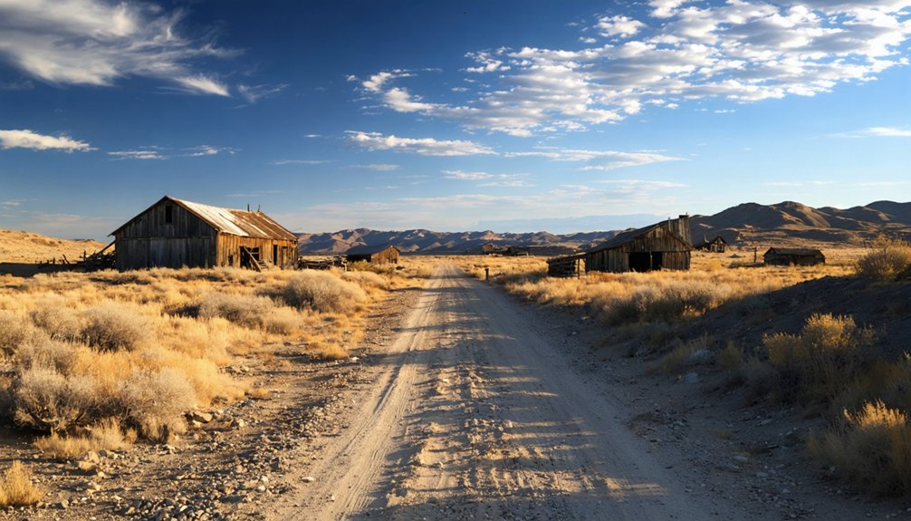
Routing your eastern Oregon ghost-town trip starts with a reliable map, because the region’s historic sites scatter across county roads that rarely appear on standard GPS apps. Highway 207 serves as a solid backbone, connecting you to regional roads that branch toward abandoned structures and forgotten communities.
Expect distances between stops to range from 8 to 60 miles, so plan fuel stops accordingly. Lonerock sits about 15 miles southeast of Highway 206, reached by an unmarked gravel road that rewards explorers willing to navigate independently.
Each detour carries its own local legends, adding depth beyond what any guidebook captures. Sequence your stops by geography rather than popularity, and you’ll cover more ground without backtracking across the high desert’s wide, open stretches.
What to Pack for the Drive Out to Lonerock
Since Lonerock sits at the end of an unmarked gravel road with no services nearby, you’ll want to pack a physical map or download offline navigation before you leave cell range.
Toss in extra water, snacks, a first-aid kit, and a full spare tire, because eastern Oregon’s high desert won’t offer much help if something goes wrong.
Treat this drive as a true remote excursion, and your planning will make the difference between a smooth road trip and a frustrating one.
Because Lonerock sits at the end of an unmarked gravel road branching off Highway 206, you’ll want reliable navigation tools before you leave the pavement behind. Cell service is sparse across Gilliam County’s high desert, so don’t rely solely on your phone’s GPS. Download offline maps before departing, and back them up with a printed or paper county map that identifies local landmarks like Lonerock Creek and the surrounding ranch roads.
For travel safety, knowing exactly where you’re on a remote gravel road matters — especially if weather turns the surface muddy or a tire goes flat miles from help. A detailed Oregon road atlas gives you the broader regional picture, connecting Lonerock to nearby highways and towns so you can plan alternate routes with confidence.
Essentials for Remote Travel
Having your maps sorted is only half the equation — what you load into the car matters just as much when you’re heading somewhere this far off the grid. Lonerock sits on unmarked gravel roads through high desert, so pack extra water, a spare tire, and fuel before you leave Condon. Cell service is unreliable, so download offline maps as a backup.
Bring binoculars for wildlife viewing — raptors and mule deer are common across Gilliam County’s open terrain. Pack your own food too, since you won’t find local cuisine anywhere near this remote stretch. A cooler stocked with regional Oregon products from Condon keeps things practical and flavorful.
Wear layered clothing, carry a first-aid kit, and give someone your itinerary before you head out.
The Best Time of Year to Visit Lonerock
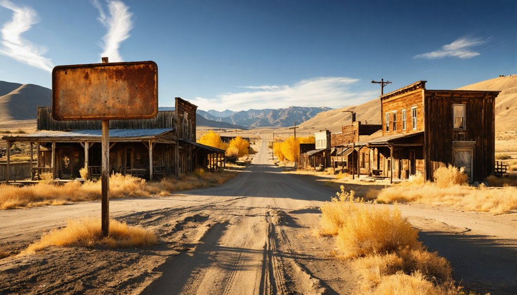
Although Lonerock sits in Oregon’s high desert year-round, late spring and early fall are your best windows for a visit. During late spring, wildflower seasons transform the surrounding high desert into a vivid, open landscape worth exploring at a slower pace. Temperatures stay mild, and the unpaved roads remain dry enough for easy 2WD travel.
Early fall brings similar advantages — cooler seasonal weather, less dust, and sharp afternoon light that makes the 1898 church and surviving structures look their most striking.
Summer works too, but triple-digit heat can make long stretches on gravel roads genuinely uncomfortable. Winter brings snow and muddy roads that may cut off access entirely.
Plan around those two shoulder seasons, and you’ll get the most out of this remote stop.
Frequently Asked Questions
Does Anyone Still Live in Lonerock Today?
Yes, people still call Lonerock home! You’ll find a small local community of 25 residents per the 2020 census. Despite dramatic population changes over decades, it’s retained a handful of determined souls embracing freedom in remote Oregon.
How Did Lonerock Get Its Unusual Name?
Imagine standing beside an old church — that’s exactly where Lonerock’s naming origins began. A large, solitary rock beside the Methodist church inspired this ghost town history. You’d recognize it instantly — one rock, one unforgettable name.
When Was the Lonerock Church Originally Built?
You’ll find the Lonerock Church’s construction history dates back to 1898, making it a stunning piece of historic architecture that’s survived well over a century, giving you a rare, tangible connection to Oregon’s fascinating frontier past.
How Many Ghost Towns Does Oregon Have Total?
You’ll find Oregon boasts over 200 ghost towns, with one historian counting 256! These sites offer incredible tourism opportunities and remarkable historical preservation, giving you the freedom to explore countless forgotten chapters of frontier history.
Is Lonerock an Officially Recognized City Despite Being a Ghost Town?
Yes, against all odds, Lonerock’s technically an officially recognized city! Despite its abandoned mining-town silence, you’ll find historic preservation alive here — it’s a ghost town that somehow kept its city status through the ages.
References
- https://traveloregon.com/things-to-do/culture-history/ghost-towns/lonerock/
- https://en.wikipedia.org/wiki/Lonerock
- https://www.ghosttowns.com/states/or/lonerock.html
- https://thatoregonlife.com/2016/04/road-trip-ghost-towns-eastern-oregon/
- https://en.wikipedia.org/wiki/List_of_ghost_towns_in_Oregon