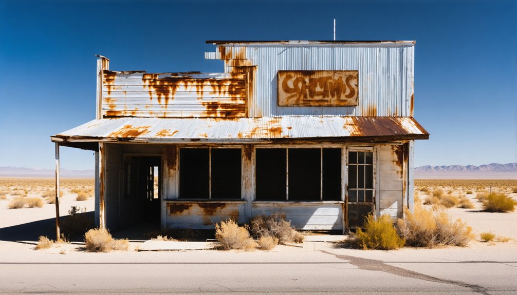
Planning a ghost town road trip to Neuralia, California means heading deep into Kern County’s open desert, armed with coordinates (35.1980°N, 118.0420°W) and a spirit for raw, untouched terrain. This obscure settlement rose in 1914 and collapsed completely by 1916, leaving behind silence, scattered relics, and barely a trace of human ambition. You’ll need extra fuel, water, and offline maps before leaving paved roads. Stick around — there’s much more to uncover about this forgotten frontier.
Key Takeaways
- Neuralia sits at 35.1980°N, 118.0420°W in Kern County, a ghost town that rose and fell within two years between 1914 and 1916.
- Pack essential supplies including extra fuel, water, a first-aid kit, offline maps, and tire repair tools before leaving paved roads.
- Expect a barren, featureless desert landscape with scattered relics and foundation outlines, as no preserved structures remain at the site.
- Check unpaved road conditions before departure, as desert washouts after rain can make routes to remote sites inaccessible.
- Pair Neuralia with nearby ghost towns like Bodie and Calico to build a fuller California frontier history road trip itinerary.
What Was Neuralia and Why Does Ghost-Town Hunters Care?
Although Neuralia barely lasted two years, it earns a spot on every serious ghost-town hunter’s radar. Tucked inside Kern County at coordinates 35.1980°N, 118.0420°W, this desert settlement flickered to life in 1914 and vanished by 1916. That rapid collapse is exactly what makes it compelling.
You’re not chasing a polished tourist park here. You’re tracking down a barren site where California’s brutal boom-and-bust cycle played out fast and unforgiving.
Neuralia connects you directly to the broader story of mining relics and railroad history that shaped the Mojave margin during the early twentieth century.
For ghost-town hunters who crave raw, undeveloped history over curated experiences, Neuralia delivers something rare — a place where the land itself tells the whole story.
How Neuralia Rose and Collapsed in Just Two Years (1914–1916)
Neuralia burst onto the Kern County map in 1914, likely driven by the same speculative energy that sparked dozens of short-lived California settlements during the early twentieth century.
You can trace its entire arc across just two years before residents packed up and the town slipped into silence by 1916. That compressed timeline makes Neuralia one of the starkest examples of how quickly a California boomtown could rise, exhaust its purpose, and vanish.
Neuralia’s Rapid Settlement Origins
Few ghost towns capture the boom-and-bust spirit of early 20th-century California quite like this tiny Kern County settlement, which rose and collapsed within a single two-year window between 1914 and 1916.
When you dig into Neuralia’s rapid settlement origins, you’ll find a pattern common to California’s mining history — hopeful settlers arrived fast, built quickly, and abandoned everything just as suddenly.
The town architecture, like most frontier outposts of that era, prioritized function over permanence, which explains why so little survives today.
Residents didn’t plan for longevity; they planned for opportunity.
That mindset shaped every structure raised on this desert ground.
Understanding how Neuralia emerged so quickly helps you appreciate why its collapse felt equally inevitable — and why its barren coordinates still draw curious road-trippers today.
Swift Abandonment And Decline
What makes Neuralia’s story so striking is how completely and quickly it unraveled — by 1916, just two years after settlers first arrived, the town was already barren. Whatever drove its founding — whether tied to shifting historical economy pressures, resource extraction, or speculative land interests — vanished just as fast.
You can see this collapse reflected in broader California settlement patterns, where dozens of towns flared up and burned out within a single generation. Neuralia wasn’t unique in that fate, but its two-year lifespan makes the rise and fall unusually sharp and easy to trace.
When you visit today, you’re standing at coordinates that once held real human ambition. Understanding why it failed helps you appreciate the fragile, high-stakes world early settlers were actually *orchestrating*.
Why Neuralia’s Kern County Location Makes It Surprisingly Hard to Find
Even with precise coordinates in hand—35.1980°N, 118.0420°W—tracking down Neuralia in Kern County isn’t as straightforward as it sounds. The desert terrain swallows abandoned sites quickly, and a settlement that saw no significant mining history or lasting infrastructure leaves almost nothing behind to mark its location.
Neuralia’s rapid settlement development lasted only from 1914 to 1916, giving the land barely enough time to register human presence before reverting to open desert. Out here, roads fade, signage disappears, and GPS alone won’t prepare you for rough conditions.
You’ll want printed maps, a full tank, and extra water before you venture out. The freedom of exploring off-the-beaten-path sites comes with real responsibility—Neuralia rewards the prepared traveler, not the casual one.
How to Drive to Neuralia Safely From Los Angeles or Bakersfield
Whether you’re leaving from Los Angeles or Bakersfield, you’ll want to map your route to Neuralia’s coordinates (35.1980°N, 118.0420°W) before you hit the road, since GPS signals and cell service can drop off fast in Kern County’s remote stretches.
Pack extra fuel, water, and a paper map backup, because the final miles to abandoned desert sites rarely offer services or reliable signage.
A flexible schedule helps too, since the drive itself may take longer than expected once paved roads give way to rougher terrain near the site.
Route Planning Essentials
Reaching Neuralia takes some advance planning, whether you’re heading out from Los Angeles or Bakersfield. Both routes cut through Kern County’s open desert terrain, where tourist infrastructure is practically nonexistent. You won’t find roadside services, staffed parks, or marked trails once you leave the main highway.
Download offline maps before you go, and confirm your coordinates against Neuralia’s listed location at 35.1980°N, 118.0420°W. Carry extra fuel, water, and a basic emergency kit since remote desert roads punish the unprepared.
Keep your expectations grounded, too. Unlike preserved sites with protected historical artifacts on display, Neuralia is a barren ghost town. What you’re chasing is atmosphere, coordinates, and the raw story of a settlement that rose and collapsed between 1914 and 1916.
Desert Safety Preparations
Driving to Neuralia from Los Angeles or Bakersfield means committing to a stretch of Kern County desert where mistakes get expensive fast. You’re heading into terrain that doesn’t forgive poor preparation, so pack extra water, a full fuel tank, and a paper map as backup. Cell coverage disappears quickly once you leave the main corridors.
The reward is genuine: mining relics and railroad history scattered across a landscape that hasn’t changed much since Neuralia’s brief run from 1914 to 1916. But getting there safely requires checking road conditions before you leave, since unpaved segments can wash out after rain.
Bring a first aid kit, tire repair tools, and sun protection. Start early to avoid peak afternoon heat, and tell someone your planned route before you go.
Pack These Essentials Before You Leave for a Barren Ghost Town
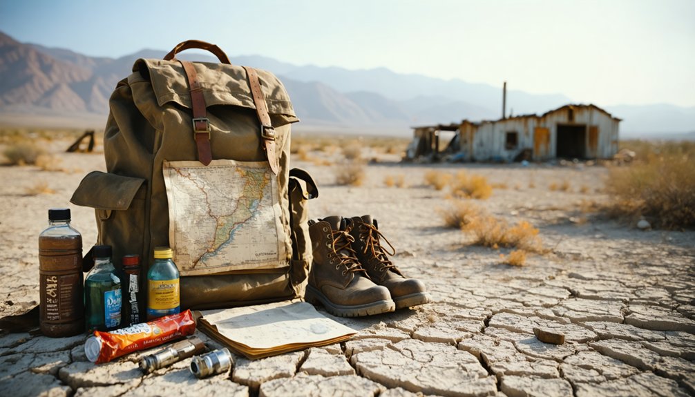
Since Neuralia is classified as a barren ghost town with no visitor services, you’ll need to pack smart before you hit the desert roads of Kern County. The site’s historical significance makes it worth the drive, but preservation challenges mean there’s no infrastructure waiting for you when you arrive.
Bring at least one gallon of water per person, high-calorie snacks, a paper map, and a portable phone charger. Pack sunscreen, a first-aid kit, and a tire repair kit for rough unpaved stretches. Download offline navigation before you lose cell signal.
Fuel up before leaving any major highway, and tell someone your planned route. The desert rewards prepared travelers and punishes careless ones, so treat this stop like the remote expedition it actually is.
What Actually Remains at Neuralia When You Arrive?
When you pull up to Neuralia’s coordinates in Kern County, the landscape itself becomes the exhibit. Active from 1914 to 1916, this barren ghost town left behind almost nothing developed, yet the site still rewards curious explorers willing to read the land carefully.
Here’s what you’re likely encountering:
- Scattered mining relics — fragments of equipment and debris that hint at short-lived industrial activity
- Foundation outlines — subtle ground depressions where abandoned structures once stood
- Undisturbed desert terrain — raw Kern County geography unchanged by modern development
- Silence as evidence — the absence of activity tells Neuralia’s rapid collapse story better than any marker could
You won’t find preserved buildings here. Instead, you’ll experience a site where the bust hit faster than the boom ever settled.
Build a Kern County Ghost-Town Loop Around Neuralia
Why stop at one ghost town when Kern County offers enough abandoned history to fill a full desert loop? Neuralia makes a sharp starting point, but you’ll find richer context by connecting it to nearby sites shaped by mining history and railroad influence.
Kern County’s abandoned settlements often share the same boom-and-bust DNA — towns that exploded when ore or rail arrived, then collapsed just as fast.
Build your loop using Neuralia’s coordinates as a geographic anchor. Research surrounding sites before you leave, map unpaved road segments, and carry extra fuel and water.
A loose, flexible schedule works better than a rigid timeline out here. The desert doesn’t rush, and neither should you when you’re chasing down California’s forgotten past.
Why Neuralia Is the Perfect Symbol of California’s Boom-and-Bust Era
Few places capture California’s gold-rush mentality quite like Neuralia — a town that blazed into existence in 1914 and burned out completely by 1916. You’re looking at just two years of life before the desert reclaimed everything. No historical artifacts survived in display cases, no abandoned structures were preserved for tourists. Just coordinates and silence.
Neuralia tells California’s real story:
- Fast ambition — settlers rushed in chasing opportunity without guarantees
- Faster collapse — when conditions shifted, towns emptied overnight
- Barren remains — the desert erased nearly every trace of human effort
- Lasting meaning — the ghost town still marks exactly where California’s frontier dreams met hard reality
That cycle defines the state’s identity, and Neuralia distills it perfectly.
Bodie, Calico, and Other Ghost Towns Worth Pairing With Neuralia
Neuralia works best when it’s not your only stop — pair it with Bodie, Calico, and a few other Kern County remnants, and you’ve got a road trip that builds a complete picture of California’s abandoned frontier.
Bodie anchors the northern end of any ghost-town route with its preserved mining history and intact structures, giving you a sharp contrast to Neuralia‘s barren footprint.
Calico closes the southern leg near the Mojave, where railroad development shaped settlement patterns just as much as silver did.
Between those bookends, Neuralia becomes a powerful detour — brief, obscure, and honest about how fast frontier dreams collapsed.
California’s official ghost-town corridor spans roughly 770 miles across nine stops, so you’ve got the framework.
Neuralia simply fills the gap the popular routes leave behind.
Frequently Asked Questions
Is Neuralia on Any Official California State Heritage or Landmark Register?
The knowledge doesn’t confirm Neuralia’s spot on any official register. You won’t find tourist infrastructure or formal historical preservation here—it’s a raw, barren ghost town where freedom-seekers explore unfiltered California history on their own terms.
Can You Legally Camp Overnight Near the Neuralia Ghost Town Site?
You’ll need to verify local camping regulations before setting up camp near Neuralia, as overnight restrictions vary by land ownership. Check with Kern County and BLM offices to confirm where you’re legally free to stay.
Are There Guided Tours Available for Visiting Neuralia or Nearby Ghost Towns?
You won’t find guided tour options at Neuralia itself, but nearby ghost town visits like Calico Ghost Town offer ranger-led tours. You’re free to explore Neuralia independently using coordinates and your own adventurous spirit.
What Is the Best Time of Year to Visit Neuralia Weather-Wise?
Like a desert bloom, spring and fall open Neuralia’s best visiting months to you. The seasonal climate stays mild from March through May and September through November, letting you explore freely without brutal summer heat.
Has Neuralia Ever Appeared in Films, Documentaries, or Television Productions?
No verified records confirm Neuralia’s appearance in films, documentaries, or television productions. Its barren, forgotten landscape could’ve attracted historical preservation stories or remote filming locations, but you’d need deeper archival research to uncover any undocumented productions.
References
- https://en.wikipedia.org/wiki/List_of_ghost_towns_in_California
- https://www.facebook.com/californialandmarkfoundation/videos/california-ghost-town-bodie-california-is-one-of-the-best-preserved-boomtowns-fr/1639090977198276/
- https://theazjones.com/the-ghost-town-of-helena-california/
- https://www.visitcalifornia.com/road-trips/ghost-towns/
- https://www.parks.ca.gov/?page_id=26330



