Planning a ghost town road trip to Muskoda, Minnesota means heading to Clay County’s northwestern corner, where open grassland and a historical marker are all that remain of this once-thriving agricultural hub. Established in 1873, Muskoda’s fate was sealed when the railroad relocated in 1909, stripping the town of its economic lifeline. You’ll want a reliable vehicle, sturdy shoes, and plenty of water before you go — and there’s far more to this story worth uncovering.
Key Takeaways
- Muskoda, located in Clay County, Minnesota, is a ghost town established in 1873 that declined after railroad relocation in 1909.
- The site features open grassland with only a historical marker, requiring GPS coordinates and rural navigation to access.
- Late spring and early fall offer the best visiting conditions, while winter and mud season should be avoided.
- Pack water, sturdy shoes, and supplies, as Muskoda has zero amenities or visitor facilities available.
- Combine your visit with nearby ghost towns like Forestville, Chengwatana, and Vining for a fuller road trip experience.
Muskoda, Minnesota: A Ghost Town That Railroads Built and Abandoned
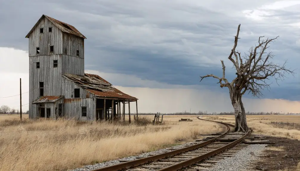
When the Northern Pacific Railroad laid its tracks through Clay County, Minnesota, it gave Muskoda its heartbeat — and when those same tracks moved half a mile away in 1909, they took it away.
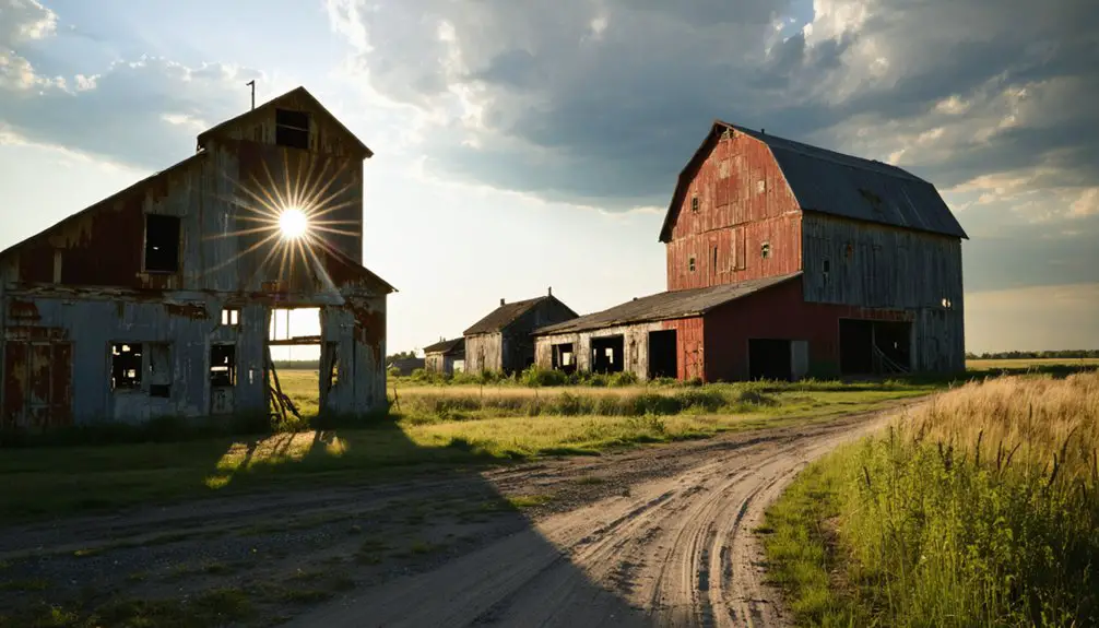
Muskoda’s history stretches back to 1873, when its post office first opened, anchoring a community built around agricultural commerce. You’ll find that its economic legacy was surprisingly robust — a grain elevator, potato warehouse, and general store once served the surrounding farms.
The town’s name itself comes from the Ojibwa word *Mashkode*, meaning “a meadow or prairie,” reflecting the landscape that shaped it.
Where Is Muskoda Located in Clay County?
If you’re planning a ghost town road trip, you’ll find Muskoda tucked into section 7 of Hawley Township in Clay County, northwestern Minnesota, at coordinates 46°51′42″N 96°24′24″W.
The site sits within a region that once thrived on agricultural settlement and railroad expansion, making it a historically rich destination for curious travelers.
Clay County’s flat, open landscape — characteristic of Minnesota’s Red River Valley — frames the former townsite and helps you visualize why early settlers and railroad developers found this area so appealing.
Hawley Township Exact Location
Tucked into section 7 of Hawley Township in Clay County, Minnesota, Muskoda sits at coordinates 46°51′42″N 96°24′24″W, placing it firmly in the northwestern corner of the state.
This geographic significance becomes clear when you understand how this location shaped the town’s entire existence.
Before you visit, note these three key geographic facts:
- Hawley Township’s flat, open terrain made it ideal for agricultural settlement and railroad expansion.
- The former Northern Pacific Railroad route ran directly through this section before relocating in 1909.
- The surrounding prairie landscape still reflects the Ojibwa meaning of *Mashkode* — “a meadow or tract of grassland.”
You’ll find the site accessible for exploration, though minimal structures remain standing today.
Regional Geographic Context
Nestled in the northwestern corner of Minnesota, Clay County stretches across a broad expanse of former glacial lakebeds and rolling prairie — and it’s here that Muskoda once carved out its place in history.
The region’s flat, fertile terrain shaped the town’s agricultural significance, supporting grain production and potato farming that kept early settlers rooted to the land.
You’ll find the former townsite sitting within Hawley Township, a quiet rural landscape where open skies dominate and roads cut straight through endless fields.
Understanding this regional context helps you appreciate Muskoda history more fully — this wasn’t an isolated settlement but part of a broader agricultural network that thrived when rail lines connected communities across northwestern Minnesota.
That connection, once severed, changed everything.
How Do You Get to the Muskoda Ghost Town Today?
Finding Muskoda isn’t complicated, but it does require a bit of rural navigation through the flat, open stretches of northwestern Minnesota. Use these driving directions and travel tips to make the most of your visit:
- Set your GPS to coordinates 46°51′42″N, 96°24′24″W in Clay County, placing you directly at the former townsite in Hawley Township, Section 7.
- Fuel up beforehand — rural roads offer few conveniences, so arrive prepared with supplies, a paper map backup, and charged devices.
- Drive a reliable vehicle — unpaved or poorly maintained county roads are common in this region.
Once you’re there, you’ll find open land, a historical marker, and the quiet satisfaction of discovering a forgotten corner of Minnesota history entirely on your own terms.
Why Did Muskoda Become a Ghost Town?
When you dig into Muskoda’s history, you’ll find that a single decision destroyed the town: in 1909, the Northern Pacific Railroad relocated its line half a mile away from the townsite, cutting off the community’s economic lifeline.
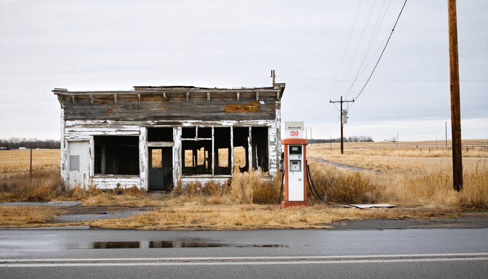
Without rail access, the grain elevator, potato warehouse, and general store lost their purpose, triggering a swift economic collapse that emptied the town of both commerce and residents.
Railroad Relocation’s Fatal Impact
Though Muskoda once thrived as a functional railroad town, a single infrastructure decision in 1909 effectively signed its death warrant. When the Northern Pacific Railroad relocated its line half a mile away, Muskoda’s railroad history became a cautionary tale about economic shifts destroying communities overnight.
That half-mile gap meant everything. Consider what disappeared almost immediately:
- Trade routes — merchants lost direct access to shipping networks
- Commerce — the general store, grain elevator, and potato warehouse became economically unviable
- Population — residents followed opportunity elsewhere, abandoning their homes
You can almost feel the silence that followed. Without railroad connectivity, Muskoda couldn’t sustain itself.
Economic Collapse Follows
Once the railroad departed, Muskoda’s economic impact wasn’t gradual — it was swift and structural.
Every business that sustained daily life — the general store, grain elevator, potato warehouse — depended entirely on rail access to move goods, attract buyers, and stay viable. Without those tracks, commerce simply stopped flowing.
You’d think community resilience might’ve saved the town, and residents certainly tried.
But survival requires more than determination — it requires infrastructure. Farmers couldn’t efficiently ship their grain or potatoes. Travelers stopped passing through. The general store lost its customers, and the grain elevator lost its purpose.
Post Office Finally Closes
By 1930, the post office — Muskoda’s last functional institution — finally closed its doors, and with it, the town lost its final claim to existence.
Post office history tells you everything about a community’s significance; once it’s gone, the town officially disappears from the map.
Consider what that closure meant:
- No mail delivery — residents couldn’t conduct basic business or stay connected to the outside world.
- No official address — Muskoda ceased to exist as a recognized community.
- No anchor — the final reason to remain simply vanished.
You can stand at those coordinates today and feel the weight of that moment.
Community significance isn’t abstract — it’s the difference between a living town and an empty field reclaimed by Minnesota’s prairie winds.
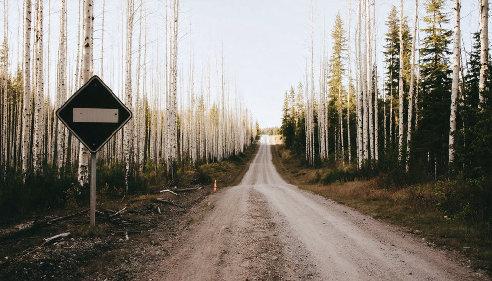
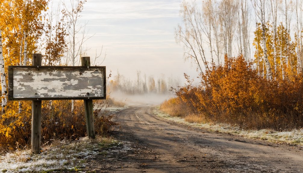
What You’ll Actually See at the Muskoda Townsite
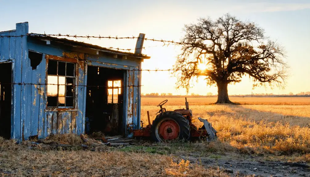
Arriving at the former Muskoda townsite, you’ll find little more than open grassland stretching across the quiet Clay County landscape. The grain elevator, general store, and potato warehouse are long gone, reclaimed by time and prairie vegetation.
A historical marker stands as one of the few tangible connections to Muskoda Memories, quietly acknowledging what once existed here.
You won’t encounter visitor facilities or guided tours — just open land, fresh air, and the freedom to explore at your own pace. The site rewards those who appreciate Prairie Preservation and understand that absence itself tells a powerful story.
Standing where a functioning community once operated, you’ll feel the weight of a town that simply disappeared when its railroad connection vanished. Bring your curiosity; it’s your best tool here.
What Is the Best Time of Year to Visit Muskoda?
When you visit Muskoda matters more than you might expect for a site that’s little more than open grassland. Northwestern Minnesota’s climate shapes your experience considerably. Use these visiting tips and best seasons to plan smart:
- Late Spring (May–June) – Wildflowers bloom across the prairie, and mild temperatures make exploring comfortable without heavy gear.
- Early Fall (September–October) – Crisp air, stunning foliage, and dry ground conditions create ideal walking conditions around the former townsite.
- Avoid Winter and Mud Season – Deep snow and spring thaw turn Clay County’s rural roads into genuine obstacles.
Summer works too, but mosquitoes in this region hit hard.
Whatever season you choose, bring water, wear sturdy shoes, and expect zero amenities. Muskoda rewards the self-sufficient explorer.
Which Other Minnesota Ghost Towns Are Worth the Drive?
Once you’ve made the drive out to Muskoda, you’ll likely find yourself wondering which other forgotten Minnesota towns deserve a spot on your itinerary.
Minnesota’s landscape holds dozens of abandoned settlements, each offering its own compelling story of rise and collapse. Chengwatana, settled along the St. Croix River, rewards ghost town photography enthusiasts with striking remnants of early timber culture.
Forestville, now part of a state park, benefits from active historical preservation efforts that bring its 1890s character vividly to life. Vining captivates with its eccentric roadside sculptures scattered near its quiet streets.
Each town reflects Minnesota’s broader pattern of railroad dependency and agricultural ambition. Connecting these stops creates a genuinely rewarding road trip through the state’s layered, often overlooked past.
Frequently Asked Questions
What Does the Ojibwa Word Mashkode Actually Mean in English?
Rooted in Ojibwa culture, *Mashkode’s* language meaning paints a vivid picture — it translates to “a meadow or tract of grassland, a large prairie.” You’ll appreciate how perfectly that describes Muskoda’s wide-open Minnesota landscape!
How Long Did Muskoda’s Post Office Remain Operational Before Closing?
You’ll find Muskoda’s post office history spans an impressive 57 years, operating from 1873 until 1930. This remarkable Muskoda significance reveals how the town’s spirit endured long after the railroad’s devastating relocation shattered its economic foundation.
How Far Did the Railroad Relocate Away From the Original Townsite?
When exploring Muskoda’s railroad history, you’ll discover the tracks relocated approximately half a mile from the original townsite in 1909. This town relocation effectively severed Muskoda’s economic lifeline, leaving you to wander its ghostly, abandoned landscape freely.
What Agricultural Products Were Specifically Stored and Shipped From Muskoda?
You’d have shipped grain and potatoes from Muskoda, both carrying corn exports and historical significance. The grain elevator and potato warehouse actively supported local farmers, making this humble prairie town a crucial agricultural hub in northwestern Minnesota.
Are There Any Formal Preservation Efforts Currently Active at the Muskoda Site?
Out of sight, out of mind” — sadly, you’ll find no active ghost town preservation efforts at Muskoda. Despite its historical significance, the site lacks formal programs, leaving nature’s quiet reclamation as its only current “preservation.
References
- https://www.mngoodage.com/voices/mn-history/2019/07/a-ghost-town-turned-history-site/
- https://minnesotasnewcountry.com/this-story-of-a-central-minnesota-ghost-town-is-pretty-incredible/
- https://www.youtube.com/watch?v=5bCG6B2rzZY
- https://en.wikipedia.org/wiki/Muskoda
- https://www.mprnews.org/episode/2023/01/23/a-minnesota-ghost-town-or-a-town-that-never-was
- https://www.youtube.com/watch?v=fl2K-zbNaLc
- https://kids.kiddle.co/List_of_ghost_towns_in_Minnesota
- https://www.youtube.com/watch?v=Naciyj05E1Y