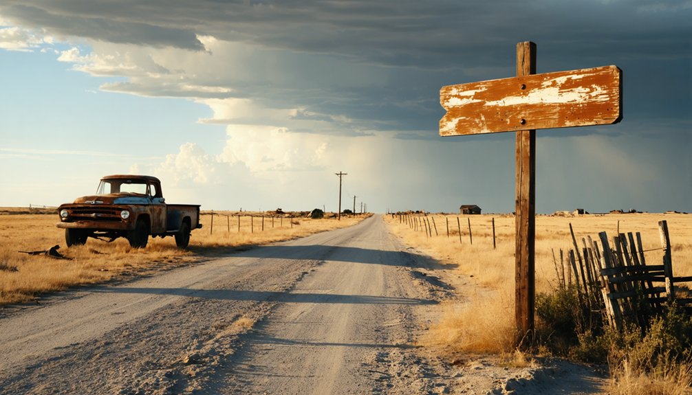
You’ll find Ochoa sixty miles south of Marfa along U.S. Highway 67, where crumbling adobe foundations and rusted farm equipment mark a once-thriving community of 200 that vanished after cotton’s collapse. Plan a 280-mile desert loop linking Shafter’s silver-boom ruins and Terlingua’s sandstone structures, but pack water, fuel, and food—cell service vanishes and gas stations are sparse across Presidio County’s 3,857 square miles of elevation swings and brutal temperature extremes. The route below reveals what’s left standing and where wheels still turn.
Key Takeaways
- Ochoa lies in Presidio County, accessible via U.S. Highway 67, 190 miles southeast of El Paso or 150 miles from Odessa.
- The 280-mile desert loop connects Ochoa with Shafter, Terlingua, and other abandoned settlements along Farm-to-Market roads.
- Ochoa’s 10-acre site features scattered stone foundations, adobe ruins, and faint wheel ruts from its 1900s farming era.
- Pack supplies and fuel before departure; gas stations are sparse and cell service is nonexistent in remote areas.
- Include Terlingua’s sandstone structures and Shafter’s silver-era ruins for a comprehensive West Texas ghost town experience.
The Rise and Fall of Ochoa’s Farming Community
Long before Ochoa’s cotton gin fell silent, Spanish missionaries drove 4,800 head of cattle into Texas in 1717, laying the groundwork for centuries of agriculture in these arid lands.
By the early 1900s, you’d have found 75 families thriving in Ochoa, their agricultural diversity spanning cotton fields, corn, beans, and livestock. The community built its cotton gin in 1924, processing bales from surrounding farms that capitalized on river irrigation.
But economic challenges proved relentless. The Great Depression crushed land values while farming costs soared. Cotton’s dominance left Ochoa vulnerable to market swings, and post-WWII shifts toward manufacturing sealed its fate.
You’ll discover today that remote desert geography and declining small-farm viability transformed this once-prosperous settlement into abandoned ruins—a memorial to agriculture’s precarious hold on Texas’s unforgiving terrain.
Getting to Presidio County’s Remote Desert Territory
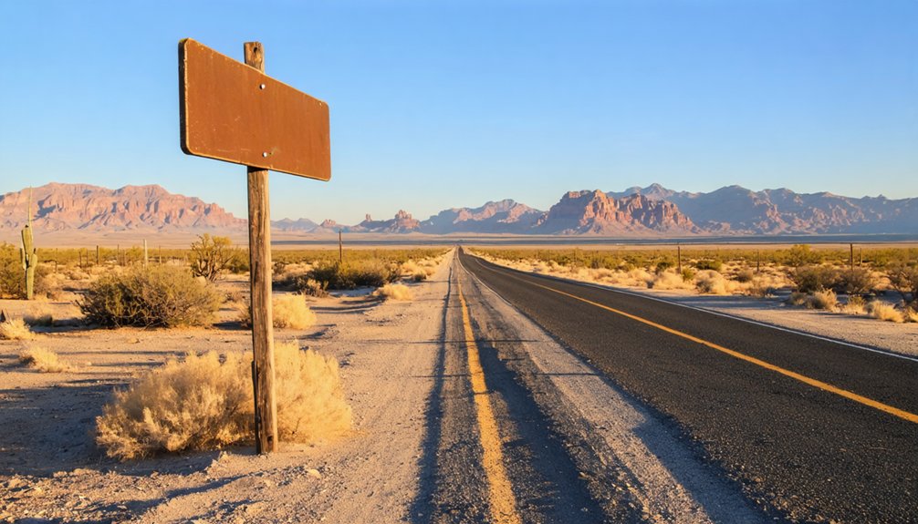
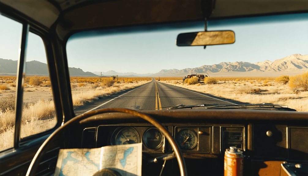
Reaching Presidio County means committing to serious miles across West Texas’s most unforgiving expanse. You’ll navigate U.S. Highway 67 or 90 through terrain that shifts dramatically between 2,400 and 7,728 feet elevation, watching civilization fade in your rearview mirror. From El Paso, it’s 190 miles southeast to Marfa, the county seat that serves as your jumping-off point.
Two hundred miles of empty highway, climbing through 5,000 feet of elevation change—West Texas doesn’t accommodate the unprepared.
From Odessa, you’re looking at 150 miles southwest through increasingly remote geography.
Pack accordingly—this fourth-largest Texas county spreads across 3,857 square miles with sparse amenities and just 6,131 souls scattered throughout. Summer heat hammers down brutally; January nights plunge to freezing.
The reward? Unfiltered freedom stretching to Mexico’s border, where ghost towns like Ochoa wait among mountains and high desert silence.
Mapping Your West Texas Ghost Town Route
You’ll want to anchor your route around US Highway 67, which cuts through Presidio County’s stark landscape and connects the scattered settlements that time forgot.
From there, plan a desert loop that links Shafter, Ochoa, and smaller abandoned sites—giving yourself at least two days to account for the vast distances between each crumbling outpost.
The highway becomes your lifeline as you venture into territory where cell service vanishes and the next gas station might be 60 miles away.
Essential Highway Connections
Since Ochoa sits deep in Presidio County’s vast desert expanse, US Highway 67 becomes your lifeline for traversing this remote corner of West Texas. This essential highway access runs parallel to the Rio Grande, connecting Marfa and Alpine eastward to Presidio while threading through Shafter’s mining remnants nineteen miles north. You’ll find US 67 anchors the regional transportation network, linking the east end of the Chinati Mountains to broader exploration routes.
Farm-to-Market roads branch off this main artery, delivering you to Ochoa’s scattered remnants and neighboring sites like Dias E Ocho Creek Camp. These FM routes prove indispensable for reaching unpopulated areas where silver mining history whispers through empty structures. Your freedom to wander Texas’ 511 ghost towns depends entirely on mastering these highway connections.
Multi-Town Desert Loop
From Ochoa’s windswept ruins, a 280-mile desert loop unfolds across three counties, threading together five abandoned settlements through stark Chihuahuan landscape. You’ll trace Highway 62/180 south to Lobo, then hook west through Shafter’s silver-mining remnants before reaching Terlingua’s artist-occupied ruins near Big Bend. The route loops north through Toyah’s crumbling hotel before returning to Ochoa—a two-day journey through communities that once thrived without modern infrastructure.
These settlements remind you what self sustaining neighborhoods looked like before grid dependence. Miners and ranchers built adobe homes from desert earth, harnessed windmills for water, and survived through resourcefulness. Today’s ghost town explorers embrace similar independence, outfitting vehicles with alternative energy sources like solar panels and portable batteries. You’ll need that self-reliance here—gas stations are sparse, cell service nonexistent, and the desert demands preparation over convenience.
What Remains at the Ochoa Townsite Today
When you reach Ochoa’s dusty coordinates, you’ll find a 10-acre scatter of stone foundations and crumbling adobe—the skeletal remains of 5-7 homes, a collapsed schoolhouse, and twisted metal from the old assay office.
The creosote desert has swallowed what miners once carved from this harsh landscape, leaving only faint wheel ruts and rusted debris to mark where 200 people once lived. What isn’t buried under windblown sand bakes beneath the relentless West Texas sun, a monument to how quickly the Chihuahuan Desert reclaims abandoned ground.
Foundations and Scattered Debris
As you approach the Ochoa townsite today, you’ll strain to find much of anything at all. This barren landscape offers only the faintest traces of its former existence. Scattered foundations from weathered adobe structures lie nearly invisible against the desert floor, their mud-brick remnants dissolving back into earth. You’ll need sharp eyes to spot these difficult-to-find footings.
Unlike ghost towns sitting atop subsurface mineral deposits that attract preservation efforts, Ochoa has simply faded away. A few broken bricks dot the ground where buildings once stood. The archaeological evidence amounts to little more than subtle depressions and occasional rubble. No standing structures remain, no cemetery marks the dead. It’s a site for adventurers who appreciate absence itself—where emptiness tells the story.
Farmland Reclaimed by Desert
Where fertile fields once stretched across this West Texas plain, only creosote and mesquite now stake their claim. You’ll find the land slowly swallowing what humans left behind—deteriorating infrastructure barely visible beneath decades of sand and scrub. The unpaved roads that once connected farmsteads have dissolved into dust-blown trails you can barely distinguish from the surrounding desert.
Walk carefully through gradual vegetation encroachment that’s consumed former cotton fields and ranch boundaries. Prickly pear clusters mark where fence lines stood. Wind-sculpted dunes drift against collapsed barn walls. The desert doesn’t simply reclaim this ground—it erases it, grain by grain. What you’re witnessing isn’t destruction but transformation, nature’s patient restoration of what was always hers. The wilderness here offers something civilization couldn’t: absolute freedom from compromise.
Terlingua and Shafter: Essential Stops Along the Way
The road to Ochoa doesn’t follow a straight line—it meanders through ghost towns that deserve more than a windshield glance. Terlingua rises from the desert first, where 2-3 dozen mortarless sandstone structures stand beside operating cantinas. You’ll wander freely through the 1900s cemetery, spotting unique burial markers that tell miners’ tragedies alongside quirky modern decorations—it’s still active, still evolving.
Further south, Shafter waits in silence near the Chinati Mountains. Adobe ruins from its 1910s silver boom crumble slowly, though desert restoration efforts can’t compete with a century of abandonment. The weathered church, scattered mill foundations, and wooden cemetery crosses tell their own story. Both towns offer self-guided exploration without fees or gates—just watch for rusted metal and bring water.
Exploring the Chinati Mountains Mining Heritage
Behind these ghost towns, the Chinati Mountains tower with stories written in silver veins and abandoned shafts. You’re standing where volcanic eruptions 35 million years ago created a mineral-rich caldera—geological history that fortune-seekers discovered in 1880 when John Spencer stumbled upon silver ledges worth pursuing.
Where volcanic fury forged fortune—35 million years of geological destiny waiting in silver-threaded stone for those who dared discover it.
The Presidio Mine alone pulled 30,972,286 ounces of silver from nearly 100 miles of tunnels before closing in 1940. Today, you’ll find remnants of this empire:
- East and South shafts penetrating 400-700 feet into mountain darkness
- Mill foundations where 300 tons of ore processed daily
- Tramway routes replacing mule trails across steep terrain
Significant minerals still glitter in tailings—silver, gold, lead, copper—waiting for wanderers who appreciate freedom over fences.
Best Seasons and Timing for Your Desert Journey
When freedom calls you toward Ochoa’s abandoned streets, timing your journey determines whether you’ll face brutal endurance or discover the Chihuahuan Desert at its most welcoming. Spring unleashes[evokes/elicits/brings forth] seasonal bloom variations—brittlebush and ocotillo nectar painting abandoned foundations—while emerging tortoises signal ideal wildlife viewing from late February through April. Fall’s second act runs late September to November, when cooling evenings and 79°F October highs let you explore without summer’s 100°F punishment. You’ll dodge crowds while watching wintering hawks circle empty mine shafts. Winter brings accessible solitude, though January’s 34°F lows demand layered gear. Avoid June through August unless you’re chasing monsoon drama. March and November offer sweet spots: 3-4 inches of rain, moderate temperatures, and that raw desert beauty without the extremes.
Essential Supplies and Safety Preparations
Your survival in Ochoa’s skeletal remains depends on preparation that goes beyond tossing a water bottle in the backseat. This remote West Texas outpost demands respect—the kind earned through proper gear maintenance and wildlife avoidance strategies that keep you mobile and breathing.
Ochoa’s unforgiving desert doesn’t forgive shortcuts—proper preparation separates survivors from cautionary tales in the West Texas dust.
Critical Supplies for Desert Independence:
- Water arsenal: One gallon per person daily, plus collapsible containers and purification tablets for emergency refills at sparse sources like Van Horn Wells.
- Vehicle resilience kit: Spare tire, jack, tow strap, and full fuel tanks—your lifeline when the nearest mechanic is 150 miles away through rattlesnake country.
- Communication backup: GPS with offline maps, satellite communicator, and paper charts of Culberson County. Cell towers don’t reach ghost towns.
Pack your emergency blanket, snake bite protocols, and cash reserves. Freedom here means self-reliance.
Overnight Camping Options in the Big Bend Region
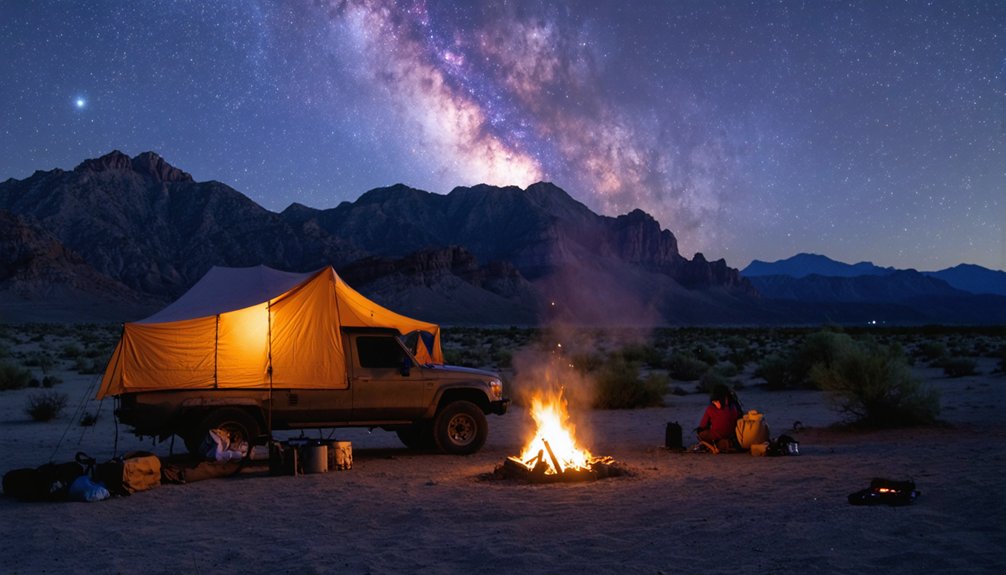
After loading your vehicle with survival gear and mapping your route to Ochoa’s crumbling foundations, you’ll need somewhere to pitch camp when darkness swallows the Chihuahuan Desert. Big Bend’s frontcountry campgrounds offer escape at $16 nightly—Chisos Basin nestles in mountain pockets while Rio Grande Village and Cottonwood hug the river’s edge. Book six months ahead through recreation.gov.
Craving high quality RV facilities? Rio Grande Village RV Park delivers full hookups and 50-amp service for $42, though you’re capped at 40 feet.
For lesser known camping grounds beyond park boundaries, Paisano Azul Ranch and Willow Creek Camping Company provide off-grid solitude near Terlingua Ghost Town. Remember: fourteen-night maximums apply, wood fires stay banned, and generator rules vary by location.
Frequently Asked Questions
Are There Any Guided Tours Available to Ochoa Ghost Town?
No guided tour packages exist for Ochoa’s remote location. You’ll embrace self-guided tour options instead, traversing rough desert roads independently. Pack water, bring your high-clearance vehicle, and explore the abandoned mercury mine’s ruins on your own terms.
Can I Bring My Dog to Ochoa and Nearby Ghost Towns?
You’ll find dog-friendly accommodations at Ghost Town Hotel’s casitas, but adventure comes with responsibility. Follow local leash laws—six-foot maximum, always supervised. Your furry companion’s welcome, though common areas stay off-limits except for service dogs.
Is Cell Phone Service Available in the Ochoa Area?
Cell phone service is spotty at best. You’ll find limited cell tower coverage in this remote area, with AT&T offering the most reliable wireless data availability. Don’t count on staying connected—embrace the digital detox instead.
What Photography Equipment Works Best for Desert Ghost Town Exploration?
You’ll need a sturdy tripod for low-light shots and a versatile camera with manual settings. Pack wide-angle lenses for expansive ruins, prime lenses for detail work, plus cleaning supplies—desert dust challenges every adventurer’s gear.
Are There Restaurants or Food Services Near Ochoa?
Finding food proves frustrating near Ochoa’s desolate terrain. You’ll discover no food trucks or local cafes waiting in this abandoned place. Pack provisions before your journey, ensuring you’re self-sufficient while exploring Texas’s haunting, forgotten landscapes independently.


