Planning a ghost town road trip to Pittsburg, Nebraska means tracing the faint outline of a town that railroad expansion built and agricultural decline quietly erased. You’ll navigate gravel roads to find graded streets and towering shade trees planted by original settlers, with isolated grain elevators marking the site. Pack water, download offline maps, and expect limited cell service. There’s more to this forgotten place than you’d expect.
Key Takeaways
- Pittsburg, Nebraska, emerged in the 1870s during railroad expansion but declined due to agricultural downturns and railroad branch closures.
- Use historic railroad maps and aerial photography to locate graded street patterns, tree lines, and isolated grain elevators marking the site.
- Pack water, snacks, and a full gas tank, as rural areas offer limited cell service and few amenities.
- Download offline maps, wear sturdy shoes, and watch for hidden foundations while respecting private property boundaries throughout your exploration.
- Visit during sunrise or sunset for optimal photography, capturing ghost town atmosphere and 19th-century architectural remnants beautifully.
How Pittsburg, Nebraska Went From Railroad Town to Ghost Town
When railroad companies pushed their lines across Nebraska in the 1870s, they didn’t just lay tracks — they built entire communities from scratch. Railroad expansion transformed open prairie into platted town sites almost overnight.
Pittsburg emerged exactly this way, with land developers surveying streets, early settlers constructing buildings, and a real community taking shape along the line.
But towns born from railroads could die by them too. As agricultural decline gripped rural Nebraska through the early 20th century, smaller communities lost their economic footing. When railroad branches closed, the people followed — leaving behind graded streets, shade trees, and silence.
What’s Left of Pittsburg, Nebraska Today
Though Pittsburg no longer exists as a functioning town, the landscape still holds visible evidence of what once stood there. When you visit, you’ll notice graded streets still etched into the earth, a quiet reminder of the town’s former grid. Trees planted by original settlers continue shading those old foundations, standing long after the community disappeared.
Isolated grain elevators rise above the surrounding fields, marking the site better than any signpost could. Rural exploration here rewards the curious traveler willing to look closely.
While abandoned structures no longer dominate the scene, the land itself tells the story. You’re fundamentally reading history written in soil, trees, and grain elevator silhouettes — a raw, unfiltered glimpse into Nebraska’s past that no museum could replicate.
How to Find the Pittsburg, Nebraska Ghost Town Site
To locate the Pittsburg ghost town site, you’ll want to start with historic railroad maps, which clearly mark the former town along its original branch line.
Once you’ve narrowed down the area, aerial photography reveals graded street patterns and tree lines that remain visible from above, even though no buildings stand today.
On the ground, look for isolated grain elevators and shade trees planted by early settlers — these landmarks are your most reliable guides to pinpointing the exact site.
Using Historic Railroad Maps
Historic railroad maps are one of the best tools you can use to track down ghost towns like Pittsburg, Nebraska. These maps document railroad history with remarkable precision, showing every branch line, depot, and platted town site from the expansion era. You can access them through county historical societies, university archives, and online databases.
Once you’ve got a historic map in hand, compare it against a current topographic or satellite map. This mapping technique reveals exactly where Pittsburg once stood, even though no buildings remain.
You’ll spot the subtle clues — graded street patterns, isolated tree lines, and grain elevators — that confirm you’ve found the right location. Cross-referencing both maps gives you the confidence to navigate rural Cass County and land directly on the ghost town site.
Aerial Photography Reveals Features
Aerial photography gives you a powerful edge when you’re hunting for ghost towns like Pittsburg, Nebraska. Satellite images and historic aerial photographs reveal features that ground-level exploration simply can’t show you.
From aerial perspectives, you’ll spot graded street patterns still etched into the landscape, tree lines that early settlers planted along former roads, and the faint rectangular outlines of vanished building foundations. These ghost town insights transform an ordinary field into a readable map of the past.
Compare vintage aerial photographs against current satellite imagery using free online tools, and you’ll notice dramatic differences that pinpoint exactly where Pittsburg once stood. Look for isolated grain elevators and unusual vegetation clusters — they’re dead giveaways.
This overhead research strategy saves you time and sharpens your on-site exploration considerably.
Identifying Ghost Town Landmarks
Once you’ve narrowed down Pittsburg’s general location using maps and aerial imagery, identifying the actual site comes down to reading a handful of reliable physical clues.
Look for isolated grain elevators first — they’re the tallest surviving remnants of ghost town architecture and visible from a distance across flat Nebraska terrain.
Next, scan for unusually straight rows of mature trees; original settlers planted these along platted streets, and they’ve outlasted every building.
When you’re on foot during rural exploration, you’ll notice graded depressions where streets once ran — subtle but unmistakable once you know what you’re seeing.
The landscape fundamentally holds a faint blueprint of the former town.
Trust these clues together rather than individually, and Pittsburg’s former footprint will reveal itself clearly.
What You’ll Actually See When You Get There
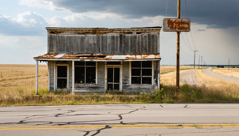
When you arrive at the Pittsburg site, the first things you’ll notice are the grain elevators still standing tall against the Nebraska sky, silent sentinels of a town that once bustled with railroad commerce.
Look down, and you’ll spot the graded street foundations cutting through the landscape, revealing the ghost of a carefully planned community.
These two features together paint a surprisingly vivid picture of what life here once looked like.
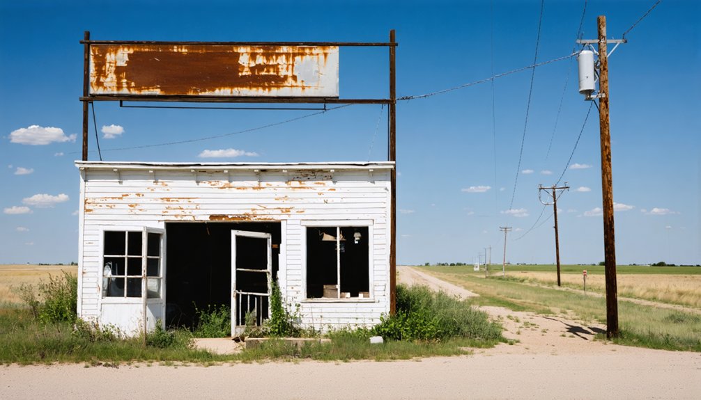
Grain Elevators Still Standing
Standing tall against the Nebraska sky, a pair of grain elevators are the first things you’ll spot as you approach the Pittsburg site. These weathered structures served as the economic backbone of the community, handling grain storage for local farmers during the town’s active years.
They’re remarkable survivors, outlasting every other building that once defined this small railroad community.
What makes them so compelling is their isolation. Nothing surrounds them except open land, graded street foundations, and shade trees planted by original settlers. They stand as raw, unfiltered markers of rural heritage, telling you exactly where commerce once thrived.
You don’t need a museum or interpretive sign to feel the weight of this place. The elevators say everything about what Pittsburg was and why it ultimately couldn’t survive.
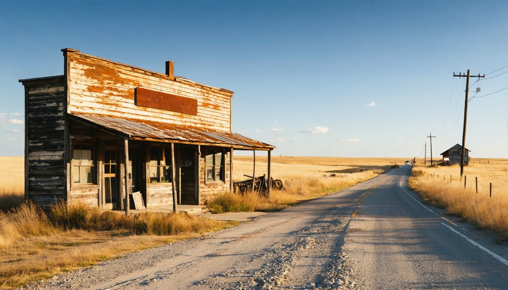
Visible Street Foundations Remain
Beyond the grain elevators, the ground itself tells Pittsburg’s story. Look down, and you’ll notice the landscape isn’t quite natural. Graded streets cut deliberate lines through the rural terrain, revealing hidden features that aerial photographs often capture better than ground-level eyes.
Walk those old road beds and you’re literally tracing the paths Pittsburg’s original settlers traveled daily. Trees planted along former sidewalks still shade the same foundations they were meant to beautify, creating an eerie, living timeline.
Rural exploration rewards the attentive visitor here. The street grid remains surprisingly readable once you know what to look for. These aren’t dramatic ruins, but subtle impressions pressed into the earth, quiet evidence that an entire community once organized its life around this very ground beneath your feet.
Nebraska Ghost Towns Near Pittsburg Worth the Detour
If Pittsburg’s quiet, gravel-road atmosphere has you craving more, Nebraska’s ghost town circuit won’t disappoint. Several forgotten communities sit within driving distance, each carrying their own historic landmarks and local legends worth chasing down.
Add these stops to your route:
- Steele City – A well-preserved railroad town with standing structures and documented history.
- Endicott – Grain elevators mark where commerce once thrived along abandoned tracks.
- Brownville – Missouri River trade history meets visible 19th-century architecture.
- Rockford – Remote location rewards curious travelers with untouched rural scenery.
Each town tells a distinct story of railroad expansion, agricultural collapse, and eventual abandonment.
You’ll cover real Nebraska terrain, far from tourist traps, discovering communities that time quietly swallowed whole.
What to Know Before You Drive Out to Rural Nebraska Ghost Towns
Before you load up the car and head out to Pittsburg or any other Nebraska ghost town, you’ll want to prep for the reality of rural exploration.
These sites sit on gravel roads with no services nearby, so pack water, snacks, and a full tank of gas. Cell service gets spotty fast once you’re deep in Cass County.
Download offline maps and pull county historical records before you leave home. Ghost town legends make for great reading on the road, but accurate coordinates get you there.
Wear sturdy shoes since graded streets and old foundations hide beneath overgrown grass. Always respect private property boundaries, as many sites sit on working farmland.
Go at sunrise or sunset for the best photography and the most atmospheric experience.
Frequently Asked Questions
Is There an Admission Fee to Visit Pittsburg, Nebraska Ghost Town?
You won’t pay any admission fee to explore Pittsburg’s ghost town history. You’re free to roam the abandoned streets, discover local legends, and uncover the rural Nebraska landscape on your own terms.
What Is the Best Time of Year to Visit Pittsburg?
Spring and fall offer the best seasonal attractions — you’ll enjoy mild weather, vibrant foliage, and easy exploration. Check for local events nearby, plan your visit freely, and embrace the open rural Nebraska landscape at its finest.
Are There Nearby Towns With Restaurants or Gas Stations?
You’ll find nearby towns offering local cuisine and fuel options to keep your adventure going! Cass County’s surrounding communities provide everything you need, so you’re free to explore Pittsburg’s haunting landscape without worry.
Is It Legal to Visit the Pittsburg Ghost Town Site?
Like an open book, Pittsburg’s ghost town history welcomes you! You can legally visit, but confirm land ownership first. Respectful urban exploration means you don’t trespass on private property — always seek permission before roaming freely.
Can You Camp Overnight Near the Pittsburg Ghost Town Area?
You’ll find no official camping regulations or ghost town amenities at Pittsburg’s rural site. Check with Cass County authorities beforehand, then set up camp on nearby private land only after securing proper landowner permission.
References
- https://en.wikipedia.org/wiki/Pittsburg
- https://history.nebraska.gov/finding-nebraskas-ghost-towns/
- https://history.nebraska.gov/wp-content/uploads/2017/12/doc_publications_NH1937GhostTowns.pdf
- https://www.youtube.com/watch?v=redtU6GT-BY
- https://history.nebraska.gov/document/nebraska-ghost-towns-ghost-towns-in-cass-county-nebraska-by-g-h-gilmore-ghost-towns-in-otoe-county-by-john-c-miller-solitary-ghosts/
- https://visitnebraska.com/trip-idea/explore-7-authentic-ghost-towns-nebraska
- https://www.k-state.edu/history/-unused/nytimesarticle/
- https://en.wikipedia.org/wiki/List_of_ghost_towns_in_Nebraska
- https://history.nebraska.gov/ghost-abound-in-nebraska-towns/
- https://www.youtube.com/watch?v=l3s2qhSxis8


