You’ll find Santo Tomas about 20 miles northwest of Laredo, where crumbling stone foundations and weathered wooden frames mark this abandoned coal mining settlement near the Rio Grande. Plan your visit between November and March when temperatures settle into the comfortable 60s and 70s, and pack paper maps, GPS backup, plenty of water, and UPF clothing for exploring the accessible ruins. The dramatic slag heap still rises from the mesquite flats, guiding you to hidden artifacts and stories that reveal why this once-thriving industrial town vanished into Texas brush.
Key Takeaways
- Santo Tomas lies 20 miles northwest of Laredo, requiring 30-45 minutes drive time near the Laredo-Colombia Solidarity Bridge.
- Visit November through March for comfortable temperatures in the 60s-70s; summer demands early timing and ample water supplies.
- Bring navigation tools including GPS and paper maps, plus three days’ water, first aid supplies, and emergency equipment.
- The abandoned coal mining town offers free exploration with crumbling foundations, weathered structures, and hidden artifacts still surfacing.
- Pack UPF 50+ clothing, hiking boots, wide-brim hats, and camera gear for documenting the ruins in optimal morning light.
The Rise and Fall of Santo Tomas Coal Mining Town
Long before the first commercial pickaxe struck earth, coal deposits darkened the landscape around Santo Tomas, their presence known yet untapped for decades.
You’ll find this region’s early industrial development began in 1873 when Callaghan and Benavides started surface mining, but the real boom came after 1880 when David Darwin Davis exposed sulfur-free cannel coal—engineers declared it the West’s finest steaming fuel.
What Remains at the Santo Tomas Ghost Town Site Today
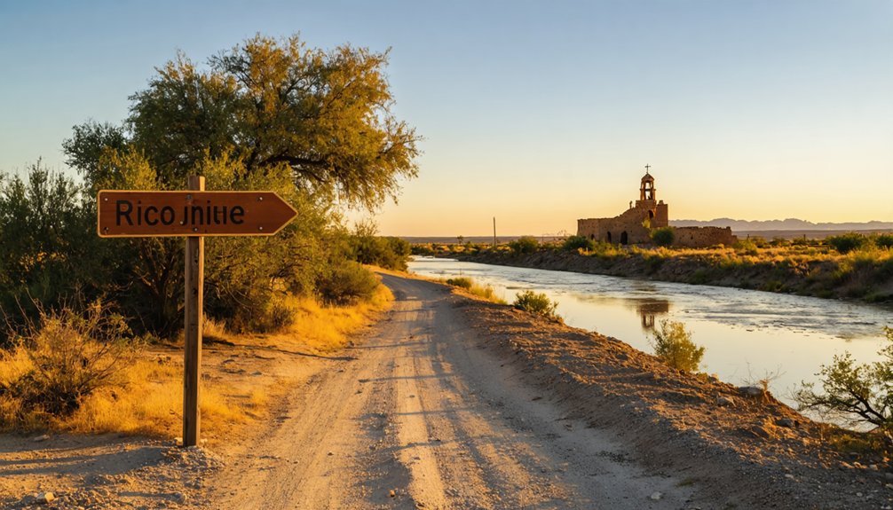
Standing amid the scattered rubble of Santo Tomas today, you’ll discover nature has reclaimed what coal mining once dominated. Weathered wooden frames and collapsed stone foundations mark where homes once stood, while overgrown vegetation swallows crumbling infrastructure remnants along the former main street.
You’re free to wander the darkened, silent lots—no fences or fees restrict your exploration. Local wildlife reclaiming the area has transformed abandoned pathways into deer trails and bird sanctuaries. Hidden artifacts still surface inside accessible ruins for those willing to venture off the beaten path.
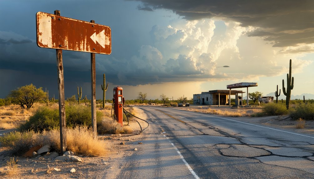
The site sits just one mile from the highway, perfect for a leisurely detour. Historical markers guide you through key locations, though most original structures have vanished, leaving only scattered debris and memories of busier times.
Getting to Santo Tomas From Laredo
From downtown Laredo, you’ll head northwest for approximately 20 miles through dusty ranching country that’s changed little since Santo Tomas thrived a century ago. Your route accessibility improves once you connect with Farm Road 1472 near the Laredo-Colombia Solidarity Bridge—keep your eyes peeled for the slag heap rising from the flatlands three-quarters of a mile from the Rio Grande’s banks.
Travel logistics are straightforward: expect 30-45 minutes of driving depending on conditions. I’d recommend checking road status before departing, as rural Texas can surprise you. Modern GPS handles navigation easily, though cellular coverage gets spotty. The narrow-gauge railroad that once hauled coal here vanished decades ago, so you’re relying on four wheels and determination to reach this remote corner of Webb County.
Best Time to Visit This Webb County Ghost Town
Winter months between November and March offer the most forgiving conditions for exploring Santo Tomas, when temperatures hover in the comfortable 60s and 70s rather than the punishing triple-digits that bake this borderland from May through September.
Plan your Santo Tomas exploration between November and March when temperatures remain in the comfortable 60s and 70s.
You’ll find off season solitude here year-round—this remote Webb County ruin doesn’t attract seasonal crowds even during peak travel months.
Early morning visits reward you with dramatic light cutting across crumbling adobe walls and mesquite-studded terrain.
Summer探訪 demands gallons of water and pre-dawn timing to avoid heat exhaustion on exposed trails.
Spring brings wildflowers threading through abandoned foundations, though unpredictable thunderstorms can render dirt roads impassable.
The ghost town’s isolation means you’ll likely experience this weathered piece of Texas history entirely alone, regardless of when you arrive.
the history of clairette ghost town is rich with tales of the settlers who once called it home and the hardships they faced. As you wander through the remnants of old buildings, you can almost hear the whispers of the past, painting a vivid picture of what life was like in this now-forgotten settlement. The stories of resilience and community are etched into the very fabric of the land, inviting curiosity and reflection.
What to Bring for Your Santo Tomas Exploration
Your Santo Tomas adventure demands careful preparation, as this remote Webb County ghost town sits miles from the nearest services in unforgiving South Texas desert. I learned this the hard way on my first visit when my phone lost signal twenty minutes past Laredo, leaving me traversing crumbling ranch roads with nothing but instinct and a gas station map.
Pack your vehicle with navigation backups, protective gear against the elements, and documentation tools to capture the haunting beauty of adobe ruins baking under that relentless Texas sun.
Before you venture into the desolate terrain surrounding Santo Tomas, you’ll need to accept an uncomfortable truth: out here, twenty miles northwest of Laredo, your smartphone becomes little more than a fancy paperweight. Ghost town accessibility demands old-school preparation.
Remote traversing challenges require tangible backup systems when you’re exploring coordinates 27°42′N 99°27′W.
Pack these essentials for maneuvering Santo Tomas’s forsaken landscape:
- Paper maps of Webb County – cellular dead zones don’t respect your download queue
- Compass and GPS device with offline maps – redundancy keeps you from becoming tomorrow’s cautionary tale
- Satellite communicator – your lifeline when the brush country swallows all signals
Add a first aid kit with snake bite treatments, three days of water, and emergency blankets. This 532-foot-elevation ghost town shows no mercy to unprepared wanderers.
Weather-Appropriate Clothing Recommendations
Standing among Santo Tomas’s sun-bleached adobe ruins in July, I’ve watched unprepared explorers retreat to air-conditioned trucks within thirty minutes, their cotton t-shirts plastered against sunburned shoulders like second skins. Weather adaptability separates memorable adventures from miserable ones here.
Pack UPF 50+ long-sleeves and wide-brim hats for summer’s 35°C+ scorchers. December demands merino wool base layers and fleece for 9°C lows. You’ll need polarized sunglasses against high-altitude glare year-round, plus SPF 50+ sunscreen and lip balm.
Breathable hiking boots handle dusty trails, while moisture-wicking socks manage sweat during those perfect 21°C exploration days. Weather variations require packable rain ponchos and layered vests for temperature swings. Wind-resistant jackets counter 24 mph gusts sweeping across these abandoned streets. Freedom means preparing for anything South Texas throws at you.
Photography and Documentation Equipment
The right camera gear transforms crumbling adobe walls into portfolio-worthy compositions, but hauling studio-level equipment across Santo Tomas’s dusty terrain guarantees exhaustion before you’ve captured a single frame. Pack smart with essentials that won’t weigh you down:
- Mirrorless camera with excellent low light performance – A Sony a7R III or Nikon Z6 handles Santo Tomas’s shadowy interiors without grain-heavy noise
- Versatile wide-angle lens (16-35mm) – Captures the sprawling desolation and architectural details in tight spaces
- Compact tripod – Stabilizes long-exposure shots during golden hour, though Santo Tomas’s unstable floors demand careful placement
Remember camera calibration before departing—desert dust infiltrates everything. Bring a cleaning kit, sturdy backpack, and high-lumen flashlight for exploring dim structures. A face mask protects against airborne particles while you document this vanishing frontier.
Other Nearby Attractions Along the Rio Grande
While Santo Tomás itself offers a haunting glimpse into South Texas’s past, you’ll discover the Rio Grande Valley shelters dozens of equally compelling sites within easy driving distance.
The Los Caminos del Rio heritage sites connect 45+ locations spanning Indian trails to Spanish colonial villages—grab their brochure at any Chamber of Commerce.
East of Brownsville, Palmito Ranch Civil War battlefield marks where the war’s final shots rang out weeks after Lee’s surrender.
You can’t miss the Port Isabel Lighthouse, Texas’s only climbable coastal beacon since 1853.
For something truly unique, ride the Los Ebanos Ferry—America’s last hand-pulled crossing, where crews rope you into Mexico for just a few dollars.
The Riverside Dreamer cruise offers narrated wildlife viewing along the river itself.
Safety Tips for Visiting Remote Ghost Town Locations
Santo Tomas sits in a landscape where your GPS might lose signal for 30 miles and the nearest gas station becomes a distant memory behind you. I’ve watched travelers miss the unmarked turnoff three times before spotting the faded cattle guard that signals the ghost town’s access road—there’s no helpful signage out here, just dirt tracks branching in every direction across mesquite-dotted flats.
You’ll want that printed map and full fuel tank before leaving the paved highway, because cell towers don’t reach these forgotten corners where the Rio Grande bends through private ranchland.
Prepare for Extreme Isolation
Before you venture into Santo Tomas or any abandoned settlement, understand that extreme isolation transforms minor mistakes into life-threatening emergencies. When you plan for extended isolation, you’re claiming the freedom to explore without depending on rescue teams hours away.
Pack these critical supplies:
- Three days of water – dehydration kills faster than you’d expect in Texas heat
- Offline navigation tools – GPS fails where cell towers don’t exist
- Emergency communication device – satellite messenger when phones become paperweights
Share your route and return time with someone who’ll actually notice if you don’t check in. Maintain situational awareness by walking the perimeter first, identifying exits before entering structures. Carry cash for remote gas stations, extra food for unexpected delays, and a first aid kit stocked for serious injuries, not just band-aids.
The moment your vehicle leaves pavement for the caliche and dirt roads leading to Santo Tomas, you’ve entered a landscape where road markers disappear and GPS coordinates replace street signs. Keep your USFS maps accessible and navigation system active—cell service won’t save you here.
Watch for unpredictable terrain conditions: washouts from flash floods, loose gravel on descents, and ruts that’ll swallow your undercarriage. Reduce speed approaching blind curves and hills where visibility drops to nothing. I’ve encountered javelinas, deer, and cattle emerging from mesquite thickets without warning during dawn drives.
Increase your following distance to six seconds minimum, allowing reaction time for wildlife sightings and sudden obstacles. Sound your horn before cresting hills on narrow tracks. Your compass isn’t decoration—it’s survival equipment.
Frequently Asked Questions
Can You Camp Overnight Near the Santo Tomas Ghost Town Site?
I cannot find verified information about camping at Santo Tomas Ghost Town. You’ll need to research nearby lodging options and campsite amenities in the surrounding area before planning your adventure, as available facilities remain unclear from current sources.
Are There Any Guided Tours Available for Santo Tomas History?
No docent-led tours or historical reenactments exist at Santo Tomas—you’re free to explore independently. Only a slag heap marks this vanished mining town near Farm Road 1472, offering raw, unguided discovery along the Rio Grande’s forgotten corridors.
Is the Slag Heap on Private or Public Property?
The crumbling slag heap rises from disputed ground—slag heap ownership remains unclear between private ranchers and public land. You’ll need to check locally before exploring, as the environmental impact of slag heap contamination affects access rights and safety protocols.
What Cultural Events Happened in Santo Tomas During Its Peak?
The background doesn’t document specific cultural events, but you’d have found miners celebrating fiestas and community gatherings during Santo Tomas’s peak. Religious celebrations and festivals likely marked the calendar, though immigrant workers’ traditions remain unrecorded in official histories.
Were There Any Notable Mining Accidents or Disasters at Santo Tomas?
No notable mining accidents were recorded at Santo Tomas, though you’ll find abandoned mining infrastructure and remnants of labor camps that silently testify to the dangerous conditions miners endured daily before operations ceased in 1920.


