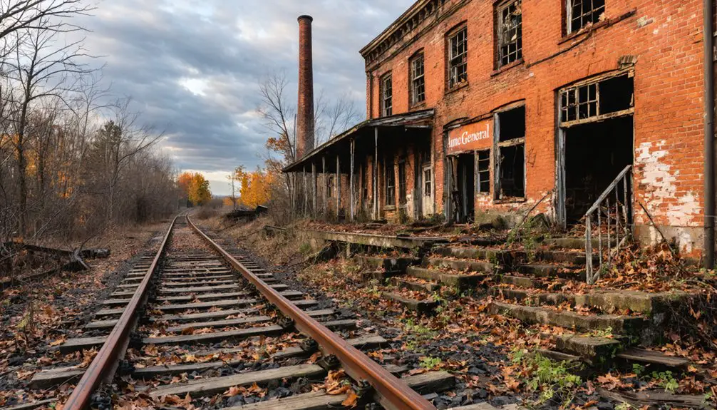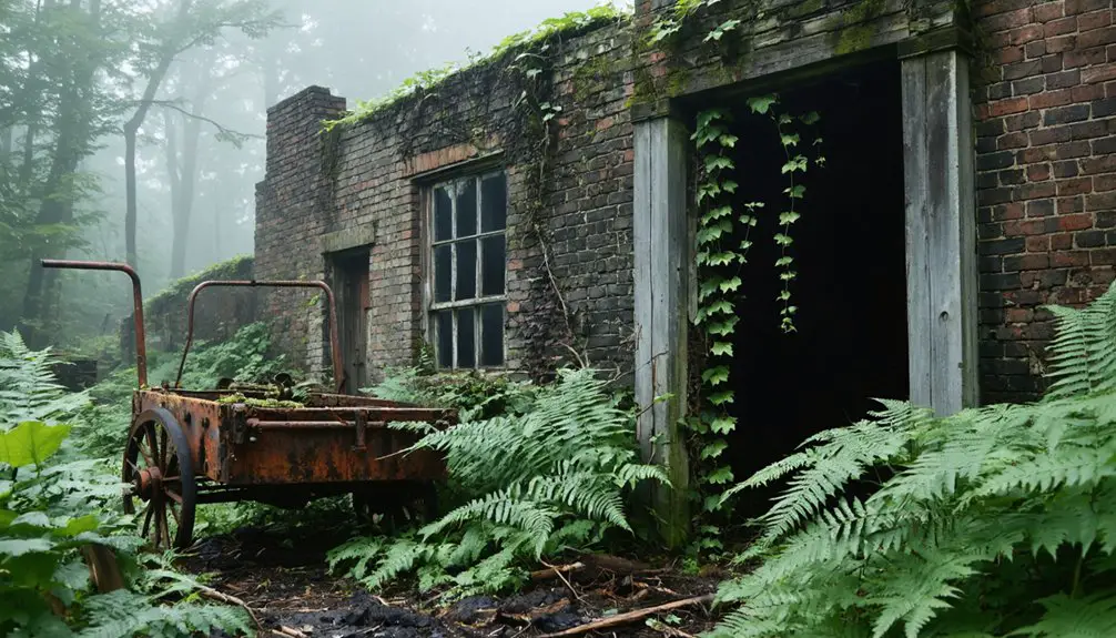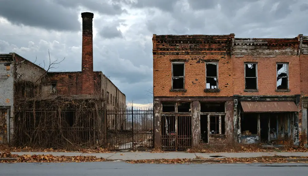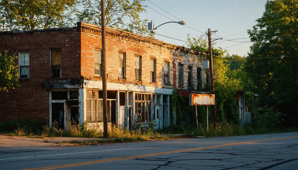
Planning a ghost town road trip to Stringtown, Pennsylvania means trading tourist attractions for raw, unfiltered history. Tucked in Greene County’s southwestern corner near the West Virginia border, this forgotten settlement has no signs, no restored buildings, and no guided tours. You’ll navigate using satellite imagery, historical plats, and a good compass. What you’ll find are overgrown foundations, old road alignments, and echoes of a rural past — and there’s far more to uncover than you’d expect.
Key Takeaways
- Stringtown is located in Greene County, Pennsylvania’s southwestern corner, near the West Virginia border, at approximately 39° 54′ 37.51″ N, 79° 56′ 21.34″ W.
- No visitor center or signage exists; bring printed historical maps, satellite imagery, a compass, sturdy boots, a camera, and an emergency kit.
- Stringtown’s settlement stretched along a single road with no town square, leaving remnants like overgrown foundations and old road alignments to explore.
- Combining Stringtown with Centralia creates a two-day ghost town loop, with approximately three hours of driving between both sites.
- Centralia’s underground coal fire, burning since 1962, produced steaming vents and fractured highways, making it a dramatic complement to Stringtown’s quieter ruins.
What Is Stringtown, Pennsylvania?
Tucked into the rural landscape of Greene County, Pennsylvania, Stringtown is an unincorporated community that’s earned a quiet place on ghost-town compendiums rather than any modern map’s list of active destinations.
Stringtown lingers in Greene County’s quiet hills — more ghost than town, more memory than destination.
Its name reflects historical settlement patterns common to early American rural communities — buildings stretched along a main road like a string, giving the place both its identity and its most enduring image.
Local folklore legends suggest the name stuck through generations of oral history rather than official designation.
Today, you won’t find a visitor center or marked downtown district here. Instead, you’ll find coordinates, faded references in older plats, and the kind of mystery that draws independent explorers.
Stringtown survives more as a named memory than a living place.
Where Exactly Is Stringtown in Greene County?
Stringtown sits at approximately 39° 54′ 37.51″ N, 79° 56′ 21.34″ W in Greene County, Pennsylvania‘s southwestern corner — a rural stretch of the state that borders West Virginia and sits well off the well-traveled tourist corridor.
Historic maps and old settlement patterns reveal a locality shaped more by road alignment than formal town planning. To orient yourself before you go:
- County: Greene County, Pennsylvania
- Time zone: Eastern Time (UTC−5)
- Navigation: Rely on historic maps and county plat records — modern GPS may not recognize the name
- Terrain: Expect rural roads, minimal signage, and no defined town center
You’re not heading to a Main Street. You’re tracing a ghost on the landscape.
How Did Stringtown Get Its Name?
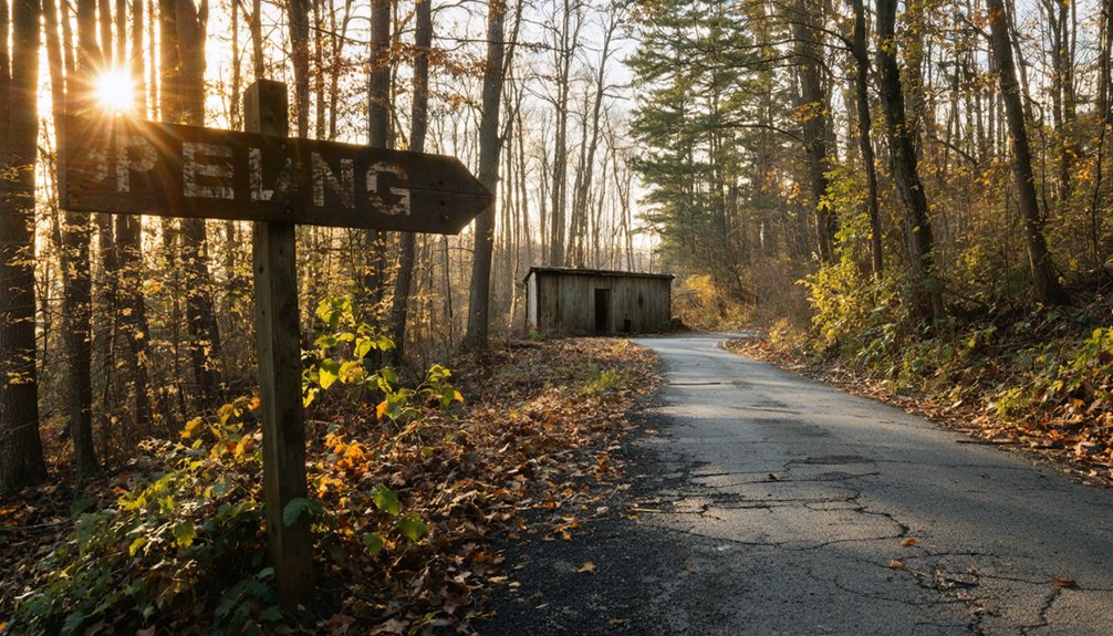
Once you start exploring Stringtown’s past, its name quickly tells you something about how early settlers built their communities. Locals reportedly derived the name from the way buildings stretched along the main road in a single line, like a string.
That simple layout reflects a common rural settlement pattern where residents prioritized road access over clustered, town-center planning.
The String Layout Theory
Like many old American settlement names, Stringtown’s origin is especially straightforward. Early settlers built their homes and structures in a single line stretching along the main road — resembling a string. That simple visual gave the community its identity, and local legends kept the name alive long after the settlement faded.
Picture the layout this way:
- One road served as the community’s backbone
- Buildings lined each side, creating a narrow, elongated pattern
- No town square or grid existed — just a continuous stretch of structures
- The “string” shape distinguished it from traditionally planned settlements
This organic layout reflects early American frontier practicality.
Historic preservation efforts may someday document what remains, but for now, the name itself carries the clearest evidence of Stringtown’s original design.
Settlement Pattern Origins
Few ghost towns wear their history as openly as this one does — Stringtown’s name tells you almost everything about how it came to exist. Early settlers didn’t plan elaborate grids or town squares; they built where the road led, stringing homes and structures along a single route until a community took shape almost accidentally.
You won’t find dramatic urban legends attached to this name — no tragedy, no scandal, just a brutally practical description of how people settled the land. Pull up historical maps of Greene County and you’ll see this pattern repeated across rural Pennsylvania, where geography dictated everything.
Stringtown simply got its name because that’s exactly what it looked like from above: a string of life stretched across the countryside.
What Can You Actually See at Stringtown Today?
Because Stringtown is an unincorporated ghost locality rather than a preserved historic site, you won’t find a visitor center, interpretive signs, or a tidy row of restored buildings waiting for you.
Historical preservation here is minimal, and local legends fill the gaps where documentation falls short. Instead, you’re exploring raw, rural Greene County terrain. Here’s what you can realistically expect:
- Overgrown roadside remnants where buildings once lined the main route like a string
- Old county road alignments traceable on historic plats but unmarked on modern signage
- Rural landscape features — fencerows, foundations, or cleared lots hinting at former settlement
- Quiet back-road atmosphere that rewards curious, self-directed explorers willing to read the land itself
Come prepared with offline maps and realistic expectations.
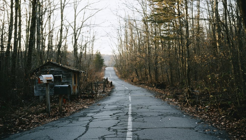
Exploring a signless ghost town like Stringtown means you’ll rely on tools rather than landmarks. Download historical cartography from the USGS or Pennsylvania State Archives before you leave home. Old plats often preserve road names and lot boundaries that modern GPS ignores entirely.
Cross-reference those maps with satellite imagery to spot cleared fields, overgrown lanes, or foundation outlines that reveal former settlement patterns. A printed county road map works as a reliable backup when cell service drops.
Mark your coordinates before entering rural Greene County roads, and share your route with someone. You’re steering by evidence, not by signage, which means staying observant and flexible. That independence is exactly what makes ghost-town exploration rewarding rather than frustrating.
Best Time of Year to Visit Greene County Ghost Towns
Once you’ve sorted your maps and coordinates, timing your visit becomes the next practical decision. Greene County’s rural terrain and Stringtown’s unclear boundaries mean conditions matter enormously. Historical maps reveal settlement patterns best when vegetation isn’t obscuring old foundations or roadbeds.
Timing your visit matters—Greene County’s rural terrain reveals its history best when conditions work in your favor.
- Spring (April–May): Low foliage makes reading landscape features easier before tree canopy fills in.
- Late Summer (August): Long daylight hours maximize your exploration window across multiple stops.
- Fall (September–October): Thinning leaves again expose terrain while roads stay dry and passable.
- Avoid Winter: Snow and mud hide remnant features, and rural Greene County roads can become genuinely impassable.
Plan your visit on a weekday to minimize any friction with landowners on private rural property.
Is It Legal to Visit Stringtown?
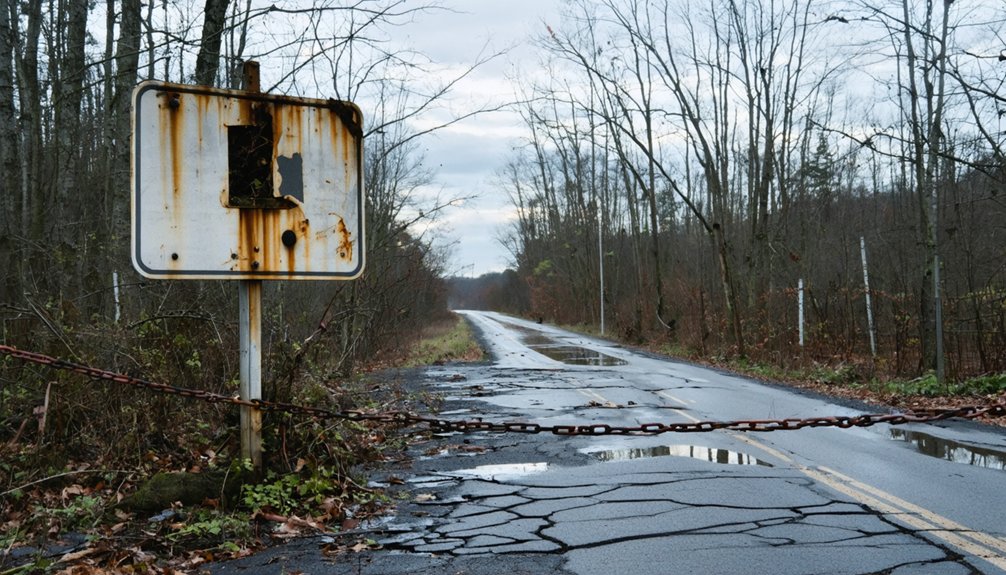
Visiting Stringtown raises a question that applies to most ghost towns with unclear legal status: who owns the land you’re walking on? Since Stringtown is an unincorporated community in Greene County, much of the surrounding land likely falls under private ownership.
Before you explore, check county property records to confirm boundaries and ownership.
Trespassing on private land carries real legal consequences, regardless of how compelling the local legends surrounding a forgotten settlement feel.
Historical preservation interests don’t override property rights, so respect posted signs and locked gates.
Public roads passing through the area are generally accessible, giving you a legitimate vantage point without crossing into restricted territory.
When in doubt, contact Greene County officials or local historical societies who can point you toward any publicly accessible remnants.
What to Pack for a Stringtown Ghost Town Visit
A remote, unmarked ghost town like Stringtown demands practical preparation before you leave the driveway. Greene County’s rural terrain offers no visitor center, no marked trail, and no guaranteed cell signal, so you’re entirely self-reliant once you arrive.
Stringtown offers no hand-holding — just open land, dead silence, and the self-reliance you’d better arrive with.
- Historical maps and compass – Digital GPS fails in dead zones; printed historical maps keep you oriented and reveal Stringtown’s original road layout.
- Sturdy boots – Overgrown terrain, mud, and debris define abandoned rural sites.
- Notebook and camera – Document remnants, foundations, or signage that connects to local legends circulating among longtime Greene County residents.
- Emergency kit – Water, first aid supplies, and a charged backup battery cover you when infrastructure disappears entirely.
Pack light, pack smart, and respect every boundary you encounter.
Should You Pair Stringtown With Centralia?
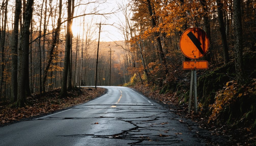
With your pack ready and your boots laced, the next question worth asking is whether Stringtown deserves a solo visit or whether it fits better as one stop on a longer ghost-town loop. Pairing it with Centralia makes strong sense.
Centralia offers concrete visual payoff — smoking vents, cracked roads, and scattered remnants backed by documented history. Stringtown, by contrast, rewards those drawn to historical mapping and quiet detective work rather than dramatic scenery.
Together, they showcase Pennsylvania’s full range of abandonment stories. Local legends give Stringtown its character, while Centralia delivers undeniable atmosphere.
The drive between Greene County and Centralia takes roughly three hours, making a two-day loop entirely achievable. Treat Stringtown as your hidden discovery and Centralia as your anchor, and you’ll leave with a richer, more complete picture of the state’s forgotten places.
Which Pennsylvania Ghost Towns Pair Well With Stringtown?
If you’re building a multi-stop Pennsylvania ghost town route, Centralia belongs at the top of your list — its underground coal fire has burned since 1962, shrinking the population from roughly 1,000 residents to just five by 2020.
You can still walk streets where smoke vents crack the pavement and a handful of structures stand as eerie holdovers from the town’s former life.
Beyond Centralia, the anthracite region offers several abandoned or hollowed-out mining communities, like Ashland, that reinforce the same industrial-decline story and give your road trip a cohesive thematic backbone.
Centralia’s Underground Fire Legacy
Pennsylvania’s most famous ghost town burns literally from the inside out — Centralia’s underground coal fire has been smoldering since 1962, shrinking a population of 1,000 in 1980 down to just five residents by 2020. Urban legends swirl around its cracked roads and smoking vents, yet preservation efforts have kept select landmarks standing.
When you visit, you’ll witness:
- A fractured highway split by heat and subsidence, eerily frozen mid-collapse
- Scattered cemeteries where headstones outlasted entire neighborhoods
- Steam vents rising through asphalt, confirming the fire still burns beneath your feet
- A remaining church and homes, silently resisting decades of evacuation pressure
Pairing Centralia with Stringtown gives your road trip two distinct ghost-town personalities — one infamous, one quietly forgotten.
Nearby Abandoned Mining Communities
Beyond Centralia’s smoky legend, Pennsylvania hides a loose constellation of abandoned mining communities that pair naturally with Stringtown on a Greene County road trip. Ashland, tied to the anthracite industry and early labor movements, rewards visitors who care about historical preservation and want context behind the coal region’s collapse.
Local folklore fills the gaps where official records thin out, giving each stop its own quiet mythology. You’ll find that these communities share a pattern: industry arrived fast, exhausted the land, then retreated, leaving scattered foundations and fading road names behind.
Stringing Stringtown alongside these sites builds a richer itinerary than any single stop allows. Pack older maps, note coordinates carefully, and treat each location as a piece of a larger, half-erased industrial story.
Frequently Asked Questions
Are There Any Ghost Town Guided Tours Available in Greene County?
No formal guided tours exist, but you’ll uncover Greene County’s historical preservation through self-guided exploration. Seek out faded roads and forgotten tourist attractions—your freedom-loving spirit will thrive mapping your own ghostly path through Pennsylvania’s rural past.
Can Drones Be Legally Flown Over Abandoned Pennsylvania Ghost Town Sites?
You’ll need to check drone regulations carefully before flying, as airspace restrictions vary by location. Always verify land ownership, FAA rules, and local laws to guarantee you’re legally cleared for your aerial ghost town adventure!
Are Pets Allowed When Exploring Rural Unincorporated Ghost Town Areas?
You can bring pets to rural unincorporated areas, but wildlife encounters are everywhere! Prioritize pet safety by keeping them leashed, watching for local animals, and respecting any private landowner boundaries you’ll inevitably encounter while exploring.
Does Greene County Have Any Ghost Town Themed Annual Events?
No confirmed ghost town-themed annual events exist for Greene County, but you’ll find local legends alive through historical preservation efforts—check with county historical societies, as they often host community gatherings celebrating the region’s forgotten past!
Are There Nearby Campgrounds for Overnight Ghost Town Road Trippers?
You’ll find campgrounds near Greene County offering essential campground amenities like fire pits and hookups. Prioritize camping safety by researching sites in advance, packing emergency supplies, and choosing well-reviewed spots that let you explore freely and overnight comfortably.
References
- https://en.wikipedia.org/wiki/Centralia
- https://www.youtube.com/watch?v=fm3wxSOqlYM&vl=en-US
- https://en.wikipedia.org/wiki/List_of_ghost_towns_in_Pennsylvania
- https://www.facebook.com/groups/abandonedplacesinpennsylvania/posts/10161295620229777/
- https://www.ghosttowns.com/states/pa/pa.html
- https://www.facebook.com/groups/716483105065991/posts/4032811243433144/