Tucker, Utah isn’t a ghost town you’ll wander through—it’s one you’ll drive over. US Route 6 paved directly over the old Denver & Rio Grande Western Railroad bed, burying a 500-person junction town beneath asphalt. Today, a rest area and a single commemorative plaque mark where it all stood. Pair Tucker with nearby Thistle and Ophir for a fuller road trip experience, and there’s far more to this forgotten corridor than you’d expect.
Key Takeaways
- Tucker, Utah sits 7 miles southwest of Soldier Summit on US Route 6, marked only by a 1969 rest area and commemorative plaque.
- The town of 500 residents vanished when the Denver & Rio Grande Western Railroad realigned tracks, replacing a dangerous 4% grade.
- US Route 6 was paved over the original railroad bed in the 1920s, permanently sealing Tucker’s foundations beneath the highway.
- Pair Tucker with nearby Thistle, buried by a 1983 landslide, for a more visually striking ghost town experience.
- Visit Ophir, a silver mining camp with standing ruins, to complement Tucker’s largely invisible but historically significant footprint.
Why Tucker, Utah Is a Ghost Town Buried Under a Highway
When the Denver & Rio Grande Western Railroad decided to realign its tracks in the early 1900s, it didn’t just abandon Tucker, Utah — it buried it.
The old route carried a punishing 4% grade toward Soldier Summit, making it dangerous for heavy freight. Engineers solved this by constructing a gentler 2.0% slope, physically raising the new track above the valley floor and entombing Tucker beneath it.
The old 4% grade was punishing. Engineers didn’t just fix it — they buried an entire town in the process.
That railroad impact erased a thriving junction of 500 residents overnight. Every building fell during realignment.
Then in the 1920s, US Route 6 paved directly over the former rail path, sealing Tucker’s history significance beneath asphalt.
What you’ll find today is a 1969 rest area and a single plaque — freedom to explore, but almost nothing left to see.
What You’ll Actually Find at the Tucker Rest Area
Pulling off US Route 6 at the Tucker rest area, you’ll find a tidy state facility built in 1969 — clean restrooms, picnic tables, and almost no trace of the 500-person railroad junction that once hummed with freight traffic and helper engines.
The rest area amenities serve travelers well, but they exist almost as an erasure of history. Look carefully and you’ll spot the single plaque details marking Tucker’s former location — a modest bronze acknowledgment that a real community stood here before realignment buried it beneath fill dirt and asphalt.
No foundations emerge from the ground. No telegraph poles lean at forgotten angles. The Spanish Fork River still cuts nearby, indifferent to what vanished.
You’re fundamentally standing on a grave dressed up as a highway rest stop.
How to Find Tucker Ghost Town on US Route 6
Finding Tucker takes about 7 miles of patience after you crest Soldier Summit heading southwest on US Route 6. GPS Navigation gets you close, but understanding the historical significance sharpens what you’re actually seeing.
Follow these markers:
- Watch for the state rest area built in 1969, sitting directly on Tucker’s original footprint.
- Park freely and locate the single commemorative plaque near the facilities.
- Notice how US Route 6 traces the old railroad bed beneath your tires.
- Scan the Spanish Fork River corridor, where 500 residents once built their lives.
- Look southwest toward Clear Creek, just miles from where you’re standing.
You won’t find crumbling walls here. What remains is the landscape itself, quietly holding a story the highway almost completely erased.
Ghost Towns Near Tucker Along the US Route 6 Corridor
Tucker doesn’t have to be your only stop. The US Route 6 corridor connects you to several forgotten communities worth exploring.
Head toward Thistle, a Utah County town whose history includes a catastrophic 1983 landslide that buried the entire settlement under a reservoir — a ghost town created in living memory. It’s haunting in ways Tucker isn’t.
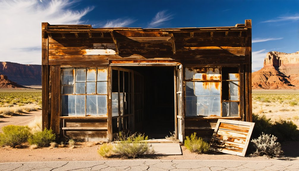
Venture further toward Tooele County and you’ll find Ophir, a silver mining camp wrapped in legends of frontier fortune and violent bust cycles.
Its canyon setting still holds visible ruins that Tucker’s highway-paved site can’t offer.
Mechanicsville and Tyng round out your Utah County loop. Each stop adds another layer to the region’s fractured past, turning your drive into a genuine historical immersion rather than a single roadside pause.
How to Build a Utah Ghost Town Road Trip Around Tucker
Building a ghost town road trip around Tucker means accepting the site for what it’s — a rest area plaque, a buried railroad bed, and a story you have to reconstruct in your head — then letting that restraint push you outward toward richer stops.
Tucker’s railroad significance anchors the route, but the ghost town history deepens when you move freely across Utah County and beyond.
Build your itinerary around these stops:
- Tucker – read the plaque, picture the helper engines, feel the grade
- Thistle – a more visceral abandonment, swallowed by a different disaster
- Ophir – Tooele County silver camp with standing structures
- Mechanicsville – quiet Utah County remnant
- Clear Creek – just miles south, still breathing faintly
Drive loose. Linger where the land speaks.
Frequently Asked Questions
What Was Tucker’s Population Before It Was Abandoned in 1913?
“All good things must end.” Tucker’s history shows you it thrived with 500 residents before abandonment reasons — dangerous 4% slopes — forced the 1913 realignment, erasing this once-bustling railroad junction forever.
Can You Camp Overnight at the Tucker Ghost Town Rest Area?
The knowledge doesn’t confirm you can camp there. Standard Utah rest areas typically prohibit overnight camping without permits. Check current camping regulations before you go, as overnight permits may be required to stay near Tucker’s historic grounds.
What Railroad Company Originally Operated Through Tucker, Utah?
Like iron veins through the West’s rugged heart, the Denver & Rio Grande Western Railroad originally drove Tucker’s railroad history, giving Tucker significance as an essential junction where helper engines muscled freight trains toward Soldier Summit’s demanding heights.
Are There Guided Ghost Town Tours Available in Utah County?
You won’t find formal ghost tours in Utah County, but you can carve your own path through local history by exploring Tucker, Thistle, and Mechanicsville — each site’s haunting silence tells its own story.
What Is the Best Time of Year to Visit Tucker?
Like a pioneer choosing the clearest trail, you’ll find spring and fall offer the best season to visit Tucker. Mild weather conditions let you explore the rest area plaque freely, without summer’s scorching heat or winter’s icy grip.
References
- https://www.youtube.com/watch?v=EWte1RfhQMo
- https://kids.kiddle.co/Tucker
- https://435locals.com/ghost-town-near-zion-old-iron-town/
- https://www.youtube.com/watch?v=dCg_xiclHxA
- http://muscleheadneville.blogspot.com/2015/07/utah-ghost-towns-part-one-ophir-mosida.html
- https://expeditionutah.com/ghosttowns/


