Vawter, Minnesota is a ghost town that vanished after the Soo Line Railroad abandoned service in the 1940s. You’ll find the site near Morrison County Road 35 and Iris Road, roughly at coordinates 45.91222°N, 94.24500°W, though no buildings or markers remain. Bring GPS, respect private property, and pair your visit with nearby Crane Meadows Wildlife Refuge for a full day trip. There’s far more to this forgotten railroad town than its quiet countryside lets on.
Key Takeaways
- Vawter, Minnesota, platted in 1908 along the Soo Line Railroad, served as an agricultural shipping point but vanished after rail service ceased in the 1940s.
- No structures remain at Vawter; the site is private farmland near coordinates 45.91222°N, 94.24500°W, accessible via Morrison County Road 35 and Iris Road.
- Use GPS to locate Vawter, as no roadside signs, parking, or interpretive facilities exist; respect private property boundaries throughout your visit.
- Late spring or early fall are optimal visiting seasons, offering dry roads and clearer views of the former townsite’s landscape.
- Pair your visit with nearby Crane Meadows Wildlife Refuge for sandhill crane and bald eagle viewing, then finish in Little Falls for food and history.
What Was Vawter, Minnesota?
Tucked into Morrison County’s rural landscape, Vawter was a small railroad town platted in 1908 along the Minneapolis and St. Marie Railroad, better known as the Soo Line. The railroad didn’t just connect towns — it created them, and Vawter was no exception.
Farmers used it as a shipping point, sending goods toward Duluth markets while the town built up a grain elevator, stores, a church, and a school around that rail activity.
Local legends suggest the name traces back to standing water on John Schmolke’s property, with “vater” influencing the final spelling. Though no historical artifacts remain on the ground today, Vawter once functioned as a genuine rural service hub.
How the Soo Line Railroad Built Vawter in 1908
When the Soo Line pushed its tracks westward in 1908, it didn’t just cross through Morrison County — it dropped a new town onto the map. Vawter emerged as a direct product of railroad expansion, platted alongside the Minneapolis and St. Marie Railroad as it extended lines toward Duluth.
The railroad didn’t follow existing communities — it created them.
Local legends suggest the town’s unusual name traces back to John Schmolke’s property, where standing water prompted someone to say “vater,” the German word for water. Whether true or not, that story gives Vawter a personality beyond its brief existence.
Though no historical architecture survives today, the town once held grain elevators, stores, and a church — all built around the promise of rail service connecting isolated farmers to wider markets.
Why Vawter Disappeared by the 1940s
Once the railroad stopped running, Vawter had nothing left to stand on. By the 1940s, the Soo Line had pulled its service, and the post office followed shortly after.
Without those two lifelines, residents scattered and commerce dried up completely.
You won’t find any historical architecture marking the spot today. No depot, no grain elevator, no church walls standing as reminders of what once existed here.
The land absorbed everything, leaving only fields and private property where a functioning community once operated.
Local legends suggest the name itself carried an omen, rooted in standing water and uncertain ground. Whether that’s true or not, Vawter’s fate was always tied to one thing: the railroad.
When it left, so did the town’s reason for existing.
The Vawter Townsite: What Remains on the Ground
Standing at the Vawter townsite today, you’ll find nothing that announces itself as historic. The grain elevator, stores, church, and school that once defined this railroad expansion community have completely vanished. Private homes and open countryside have replaced every structure.
What you’re walking through carries historical anecdotes rather than physical evidence. The land itself holds the story of a town platted in 1908, briefly alive with commerce, then quietly erased once rail service ended. No markers guide you, no ruins reward your curiosity.
Navigation depends entirely on coordinates and county road references near Morrison County Road 35 and Iris Road. You’re fundamentally reading a landscape that’s forgotten its own past. That invisibility is precisely what makes Vawter compelling for road trippers who prefer raw history over curated attractions.
How to Reach Vawter From Little Falls or Royalton
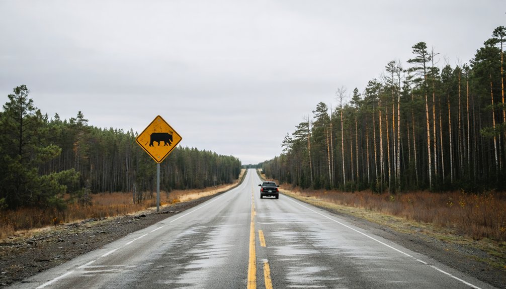
Reaching Vawter is straightforward whether you’re coming from Little Falls to the south or Royalton to the west. Both routes carry historical anecdotes and local legends tied to Morrison County’s vanished communities.
- From Little Falls: Head north, then navigate toward Morrison County Road 35 to approach the former townsite.
- From Royalton: Drive east along connecting rural roads until you reach Iris Road near the old village coordinates.
- Key landmark: Watch for 103rd Street intersecting County Road 35, placing you closest to Vawter’s recorded location.
- Navigation tip: Use coordinates 45.91222°N, 94.24500°W since no signage marks the spot.
No formal parking or interpretive stops exist, so treat this as a flexible detour you’ll navigate independently using maps.
Use County Road 35 and Iris Road to Find the Site
Once you’re in the area, Morrison County Road 35 becomes your primary guide toward the former townsite.
From there, you’ll want to watch for Iris Road, where the intersection marks the closest navigable point to where Vawter once stood.
Keep your map or GPS active, since no roadside signs acknowledge the ghost town’s existence.
Navigating County Road 35
Finding Vawter takes a bit of rural guidance, but County Road 35 and Iris Road make the search manageable. No signs mark this spot, so you’ll rely on coordinates and local legends passed down through Morrison County history.
Follow these steps to reach the site:
- Drive between Little Falls and Royalton along the main corridor connecting both towns.
- Turn toward the old village site using Buckman Road references as your guide.
- Locate Morrison County Road 35 and watch for the Iris Road intersection nearby.
- Cross-reference coordinates 45.91222°N, 94.24500°W to confirm you’ve arrived near the historic landmarks once defining Vawter.
The area’s now private property, so treat it respectfully. You’re guiding through open countryside, not a curated attraction.
Locating Iris Road Intersection
The Iris Road intersection gives you the clearest ground-level marker for locating what was once Vawter. Where County Road 35 meets Iris Road, you’re standing near the heart of a town that railroad expansion brought to life in 1908. The Soo Line pushed tracks through this corridor, and Vawter rose quickly around that momentum.
Don’t expect historic architecture or preserved storefronts. None survived the town’s collapse after rail service ended in the 1940s. What you’ll find instead is open rural landscape, private homes, and quiet roads cutting through Morrison County farmland.
Use your map coordinates — roughly 45.91222°N, 94.24500°W — alongside the Iris Road intersection to pinpoint the site accurately. Signage won’t guide you here, so precise navigation makes all the difference.
Add Crane Meadows to Keep the Morrison County Loop Going
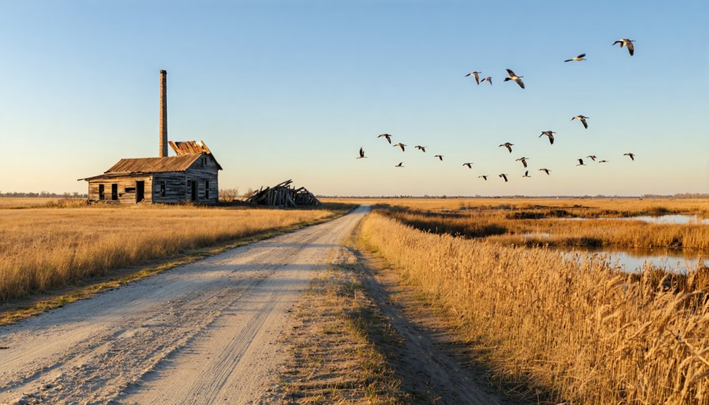
After leaving the Vawter site, you can extend your loop by heading to Crane Meadows National Wildlife Refuge, which sits just a short drive away in Morrison County.
The refuge offers wetlands, grasslands, and woodland trails where you’ll spot migratory birds, sandhill cranes, and white-tailed deer across a landscape that contrasts sharply with Vawter’s quiet, empty fields.
Pairing the two stops gives your road trip both the haunted stillness of a vanished railroad town and the active, living wildness of one of central Minnesota’s best nature preserves.
Refuge Location And Access
Crane Meadows National Wildlife Refuge sits just a short drive from the Vawter site, making it an easy addition to your Morrison County loop. You’ll find the refuge near Little Falls, offering open land that contrasts sharply with your search for historical artifacts and railroad remnants along the ghost town route.
Here’s how to approach the refuge visit:
- Enter from Morrison County Road 35 heading toward Little Falls
- Watch for refuge signage marking the main access points
- Walk the trails to spot migratory birds and wetland wildlife
- Combine your stop with the Rice–Skunk Lake Wildlife Management Area nearby
You won’t need reservations or fees to explore. The refuge rewards curious travelers who want wide-open landscapes after tracing vanished communities across Morrison County’s back roads.
Wildlife And Nature Highlights
Wildlife watching shifts into high gear once you pull into Crane Meadows National Wildlife Refuge, where migratory birds, white-tailed deer, and wetland species move through restored prairie and marsh habitats year-round.
Sandhill cranes draw the biggest crowds during migration, but you’ll also spot bald eagles, wood ducks, and shorebirds working the shallow wetlands.
The refuge trails let you move at your own pace without crowds or rigid schedules.
Local legends tie this landscape to the same farming families who once shipped grain through Vawter, giving the land a quiet historical weight that no historical artifacts have survived to anchor.
Pairing Crane Meadows with the ghost town site keeps your Morrison County loop moving efficiently, blending vanished human history with living, breathing habitat that rewards every season you choose to visit.
Pairing With Vawter Visit
Looping Crane Meadows National Wildlife Refuge into your Vawter stop takes minimal extra driving and turns a quick roadside detour into a full Morrison County day. You’re already tracing roads layered with historical anecdotes and community memories, so adding this natural corridor feels organic rather than forced.
Follow this simple sequence:
- Drive Morrison County Road 35 toward the Vawter site first while morning light is still low.
- Pause at the coordinates to absorb the vanished townscape.
- Head directly to Crane Meadows for wildlife watching and trail walking.
- Finish in Little Falls for food, fuel, and deeper county history.
This loop respects your time, rewards your curiosity, and lets Morrison County’s layered past and present land on you all at once.
Other Vanished Morrison County Towns Worth Finding
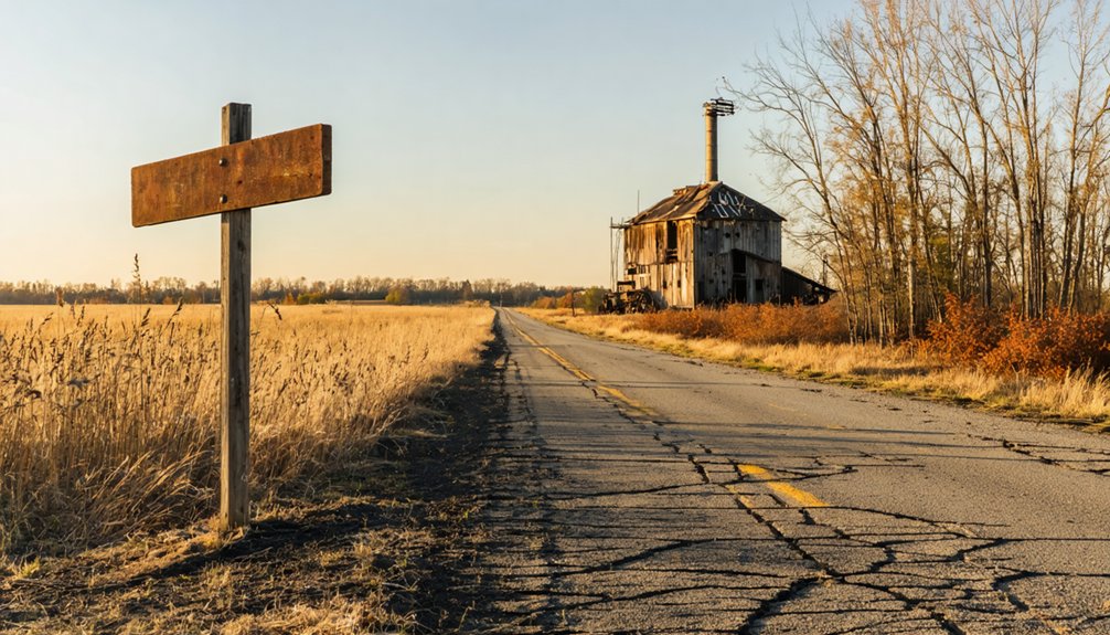
Vawter isn’t the only ghost town waiting to be found in Morrison County. The region holds several other vanished communities, each carrying its own local legends and fragments of historical architecture that reward curious travelers willing to explore beyond the main roads.
The county historical society has documented multiple sites where towns once thrived around railroad lines and agricultural trade before quietly disappearing. You’ll find that piecing together these locations using county records and old maps turns the entire region into an open-air history lesson.
Each stop adds context to the next, building a fuller picture of how settlement patterns shaped and then abandoned this landscape. Morrison County rewards the independent traveler who values discovery over convenience, making it one of Minnesota’s most compelling ghost town destinations.
Best Times to Drive Out to Vawter
When you drive out to Vawter, matters more than you might expect for a site with nothing left standing. Seasons shape how well you can explore the landscape, chase local legends, and feel the historical myths surrounding this vanished railroad town.
- Late spring – Roads dry out, crops haven’t risen to block sightlines across former townsite land.
- Early fall – Harvest activity reveals field patterns that hint at old settlement layouts.
- Midsummer mornings – Low traffic on Morrison County Road 35 lets you stop freely without disruption.
- Avoid winter – Rural roads near Iris Road become hazardous, cutting your exploration short.
Pairing your visit with Crane Meadows Wildlife Refuge nearby makes any season more worthwhile.
Frequently Asked Questions
What Elevation Is the Vawter Ghost Town Site Located At?
Where history whispers through the plains, you’ll find Vawter’s ghost town site sitting at 1,106 feet elevation—a hauntingly quiet landmark steeped in local legends, where you’re free to explore Minnesota’s vanished past.
Which Townships Does the Former Vawter Townsite Actually Sit Within?
You’ll find Vawter’s former townsite sitting within both Bellevue Township and Little Falls Township, where historical landmarks once thrived and local legends still echo across Morrison County’s wide, freedom-inviting rural landscapes waiting for your exploration.
Was Vawter Ever an Incorporated Municipality in Morrison County?
No, Vawter never became an incorporated municipality—it’s always been part of ghost town history as an unincorporated railroad community. You’ll find no abandoned infrastructure or formal town charter ever defined this vanished Morrison County settlement.
What Were the Exact Coordinates Used to Locate Vawter Today?
Straight from the horse’s mouth, you’ll find Vawter at 45.91222°N, 94.24500°W, elevated at 1,106 feet. These coordinates anchor your ghost town history adventure, guiding your abandoned sites exploration through Morrison County’s vanished rural landscape.
Did Vawter Have a Post Office Before the Railroad Arrived There?
No, you’ll find that Vawter’s postal history actually followed its historic railroad roots — the post office wasn’t established until 1922, well after the Soo Line arrived in 1908 and sparked the town’s entire existence.
References
- https://morrisoncountyhistory.org/?page_id=292
- http://heschistory.blogspot.com/2010/04/here-are-two-towns-that-figure-in-hesch.html
- https://en.wikipedia.org/wiki/Vawter
- https://en.wikipedia-on-ipfs.org/wiki/List_of_ghost_towns_in_Minnesota
- https://morrisoncountyhistory.org/?p=4602
- https://kids.kiddle.co/List_of_ghost_towns_in_Minnesota
- https://morrisoncountyhistory.org/
- https://en.wikipedia.org/wiki/List_of_ghost_towns_in_Minnesota
- http://sdrc.lib.uiowa.edu/traveling-culture/inventory/MSC150.html