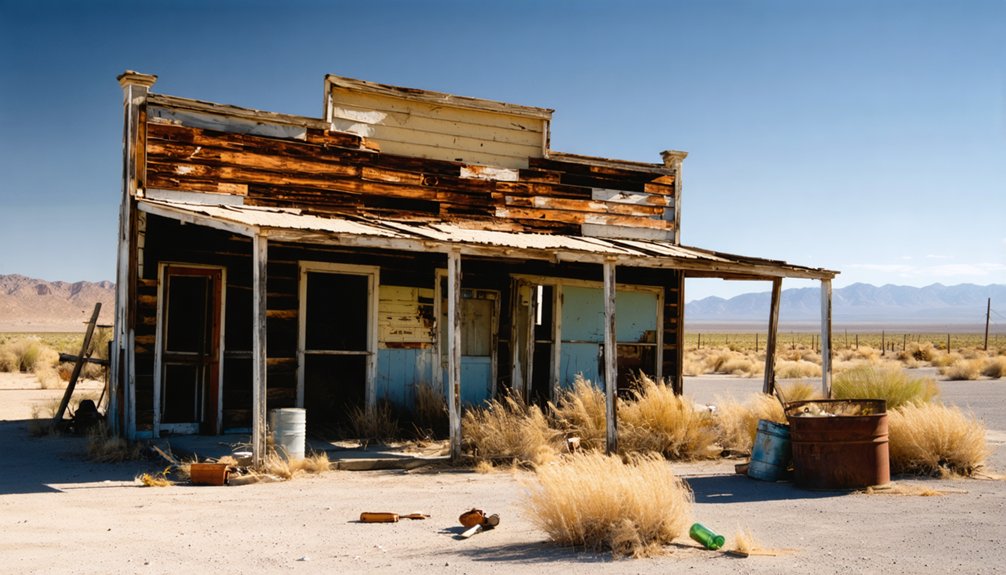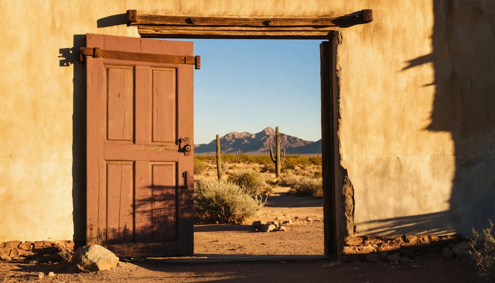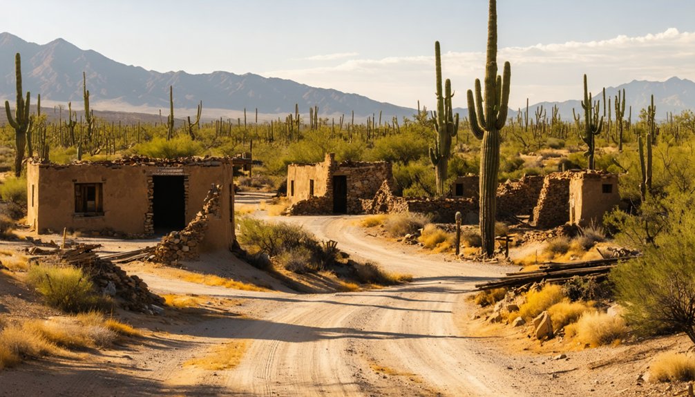
Rosemont, Arizona sits in the Santa Rita Mountains about 15 miles south of Vail, accessible by standard 2WD roads through Coronado National Forest. You’ll find stone foundations, a gated mine shaft, and scattered industrial artifacts from a copper boomtown that thrived from 1879 until the ore ran dry in 1951. Watch for rattlesnakes, unstable terrain, and restricted fencing. Plan your visit for fall, winter, or spring — and there’s much more to uncover before you go.
Key Takeaways
- Rosemont is located in the Santa Rita Mountains, Coronado National Forest, roughly 15 miles south of Vail, accessible via standard 2WD roads.
- Visit in fall, winter, or spring to avoid intense summer heat; spring offers wildflowers and increased wildlife activity for optimal exploration.
- Explore stone foundations, a gated mine shaft, weathered headframe, and scattered artifacts like drill bits and tramway fragments across the site.
- Watch for rattlesnakes, unstable terrain, and unmarked depressions; avoid deteriorating walls, open shafts, and restricted fenced mining claim zones.
- Extend your trip by visiting nearby Helvetia and Kentucky Camp ghost towns, plus Sonoita and Patagonia for food and wine.
What Is the Rosemont Ghost Town?
Once a bustling copper mining settlement nestled in the Santa Rita Mountains of Arizona’s Coronado National Forest, Rosemont operated from 1879 until its mine played out in 1951, leaving behind scattered adobe walls, stone foundations, and rusting equipment across Pima County’s high desert terrain.
At its peak, roughly 150 residents called this remote outpost home, sustaining a post office from 1894 to 1910. Today, you’ll find stone foundations of the company store, boarding house, and assay office still standing amid the silence.
The surrounding Coronado National Forest rewards you with exceptional wildlife observation opportunities alongside the ruins. Pair your exploration with local cuisine from nearby Vail, just 15 miles north, before stepping back into a landscape where history and wilderness powerfully collide.
Who Founded Rosemont and What Brought the Mine Down
When you explore Rosemont’s history, you’ll find that L.J. Rose and William B. McCleary originally founded the settlement, only to lose it to the Lewisohn brothers after mounting debt forced a sale.
The mine then sustained roughly 150 residents through eight decades of continuous copper extraction, stretching from 1879 well into the twentieth century.
Founders and Original Owners
How did a promising copper strike in the Santa Rita Mountains unravel into debt and abandonment? L.J. Rose and William B. McCleary discovered the historical significance of this ore-rich landscape in 1879, founding Rosemont with genuine optimism. They built a working community of roughly 150 residents, extracting copper through decades of relentless labor.
But debt overtook ambition. Rose and McCleary eventually surrendered ownership to the Lewisohn brothers, transferring control of everything they’d built. The Lewisohns continued operations, but no amount of capital could outpace a depleting resource. By 1951, the ore was gone.
Cultural preservation now carries the weight of that history. You’re visiting a place where human ambition collided with geology — and geology won. Walk those foundations knowing exactly what that cost.
Mine’s Eventual Decline
Eight decades of extraction carved Rosemont into the Santa Rita Mountains before the ore simply ran out. By 1951, the copper veins that had sustained roughly 150 residents were exhausted, and the town quietly surrendered to the desert. You can trace that collapse through what’s left — gated mine shafts, crumbling stone foundations, and scattered tramway fragments telling the story of an industry that burned bright then vanished.
What makes Rosemont worth your time isn’t just the ruins — it’s the tension between historical preservation and evolving mining regulations that still shapes the land today. The same mountains that yielded fortunes now sit protected by legal rulings that keep industrial ambitions in check.
You’re walking through a place where extraction’s legacy and conservation’s future actively compete.
How to Get to Rosemont, Arizona
Tucked within the Santa Rita Mountains of the Coronado National Forest, Rosemont sits roughly 15 miles south of Vail, Arizona, in Pima County. You’ll navigate public lands managed by the Forest Service, reaching the site via standard 2WD roads that don’t demand specialized vehicles.
The drive itself rewards you with wildlife encounters along forested mountain terrain, where deer and hawks frequently appear roadside. After exploring, Vail offers local cuisine options worth stopping for before heading back to Tucson.
Since portions of Rosemont are fenced due to active mining operations, stay alert for posted boundaries and restricted zones. Plan your route beforehand, carry water, and respect the land’s dual identity as both historical ground and an ecologically sensitive, legally contested public landscape.
What’s Left of the Rosemont Ghost Town Today?
When you arrive at Rosemont, you’ll find stone foundations of the company store, boarding house, and assay office still standing with intact doorways and partial walls.
The mine shaft entrance is gated for safety, but you can still spot the deteriorating headframe looming above it.
Scattered across the site, you’ll encounter abandoned tools and tramway fragments that paint a vivid picture of the industrial operation that once sustained 150 residents here.
Surviving Stone Foundations
Though the residential heart of Rosemont has effectively vanished, stone foundations of the company store, boarding house, and assay office still push up from the earth. Their doorways and partial walls hinting at the structured community life that once hummed here between 1879 and 1951.
You’ll trace the outlines of rooms where miners once ate, slept, and conducted business beneath Arizona skies.
Scattered among the foundations, historical artifacts and fragments of mining technology surface unexpectedly — abandoned tools, tramway remnants, and assay equipment frozen mid-abandonment. These aren’t reconstructed displays; they’re raw, unmediated remnants that reward careful exploration.
Walk slowly, read the ground deliberately, and you’ll piece together a working town’s ghost. Every crumbling wall you photograph represents a decade of extraction, debt, and hard-won desert survival.
Gated Mine Shaft Remnants
Beyond the foundations, the mine shaft entrance itself still marks the earth — gated now for safety, but unmistakably present. You’ll spot the headframe ruins rising against the Santa Rita skyline, skeletal and weathered, a physical ledger of eight decades of copper extraction that ended in 1951.
Mining safety regulations closed off direct access, but the gating doesn’t erase what’s here. You can still read the landscape — the depression, the timber remnants, the earth disturbed by generations of miners who once pulled wealth from below.
Preservation efforts have kept this anchor point intact rather than erased. Scattered nearby, you’ll find abandoned tools and tramway fragments half-swallowed by vegetation. Explore freely, but respect the barriers. What stands here is irreplaceable, and carelessness costs history dearly.
Scattered Tools And Tramways
Scattered across the ground surrounding the mine shaft, the tools and tramway fragments left behind at Rosemont tell a quieter story than the headframe’s dramatic silhouette. You’ll find mining equipment half-buried in desert soil — drill bits, rusted iron brackets, and cable remnants that once carried ore down the mountain.
These historical artifacts don’t sit behind glass; they’re yours to crouch beside, examine, and photograph freely. The tramway system connected extraction points across difficult terrain, and its scattered fragments still trace that industrial logic across the landscape.
Nothing’s been curated here. What remains is raw and honest — the physical evidence of eight decades of labor left exactly where workers dropped it when the mine played out in 1951 and everyone simply walked away.
What to Watch Out For When Exploring the Site
While Rosemont rewards curious explorers, the site carries real dangers you shouldn’t underestimate. Unstable adobe walls, hidden shafts, and restricted fencing demand your full attention before you wander freely through this desert remnant.
- Open mine shafts drop without warning — stay back from any gated or unmarked ground depressions near the headframe ruins.
- Unstable structures like crumbling stone foundations can shift underfoot, especially after seasonal rains soften the soil.
- Restricted fencing marks active mining claim boundaries — crossing those lines means trespassing on legally protected zones.
- Wildlife encounters are common here; rattlesnakes shelter beneath scattered debris, while local flora like dense scrub oak can obscure trail edges and hazardous terrain.
Respect the boundaries, watch your footing, and you’ll explore safely.
The Best Time to Visit Rosemont
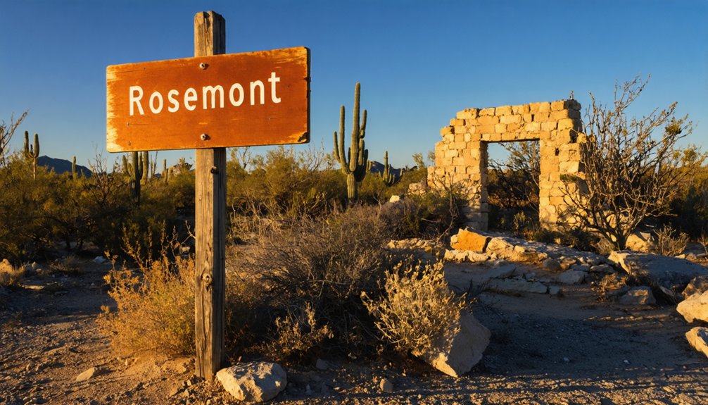
Timing your visit to Rosemont shapes everything you’ll experience there. Winter, fall, and spring offer the most rewarding conditions, sparing you from brutal summer heat that bakes the Santa Rita Mountains relentlessly.
Spring stands out particularly — wildflowers overtake the historic cemetery, local wildlife grows active across Coronado National Forest‘s diverse habitats, and the cooler air makes hiking through scattered ruins genuinely comfortable.
Summer visits drain your energy fast and limit how thoroughly you’ll explore the adobe remnants and mining foundations.
Beyond climate, you’ll want to acknowledge the cultural significance this land carries for Indigenous tribes who successfully protected these ancestral grounds from modern mining.
Approach every season with that respect intact. Visit when the land invites you in — not when it pushes you back.
Why Parts of Rosemont Are Still Fenced Off Today
Fences cutting across Rosemont aren’t relics of the past — they mark active boundaries tied to ongoing and proposed modern mining operations. Mining disputes have kept portions of this landscape restricted, limiting where you can freely roam. Here’s what those fences actually represent:
- Restricted mining remnants — Equipment and shafts sit behind barriers, inaccessible for safety reasons.
- A halted copper project — Tribes successfully stopped the Rosemont copper mine expansion in 2019, protecting ancestral lands.
- Legal boundaries — The Ninth Circuit upheld tribal protections, freezing further development.
- Ecological impacts — Fenced zones shield fragile Coronado National Forest habitats from additional disturbance.
Respect those boundaries when you visit. They represent hard-won legal victories protecting both cultural heritage and the land itself.
Other Ghost Towns and Trails Worth Visiting Near the Santa Ritas
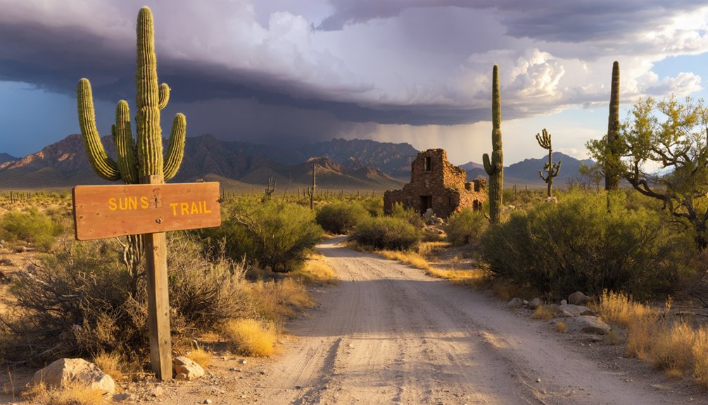
The Santa Ritas don’t give up their history at just one site — push a little further and you’ll find the region rewards patient explorers with layered ghost town remnants and rugged trails that connect abandoned communities across the high desert. Nearby Helvetia offers crumbling adobe ruins and mine dumps worth wandering through.
The Kentucky Camp historic district, managed by the Coronado National Forest, gives you restored structures and gold-dredging history in one compact stop. Along these trails, wildlife encounters with coatis, javelinas, and raptors are genuinely common, so move quietly.
Afterward, Sonoita and Patagonia sit close enough to fuel you with local cuisine — think farm-sourced meals and regional wine — before you loop back through mountain passes that connect everything beautifully.
Frequently Asked Questions
When Did the Rosemont Post Office Open and Close?
Rosemont’s post office opened September 27, 1894, and closed May 31, 1910—a snapshot of postal history marking the town’s community decline. You’ll find its ghost echoing through adobe ruins, where freedom-seekers once collected mail.
How Many People Lived in Rosemont During Its Active Years?
During Rosemont’s active years, you’d have walked among roughly 150 residents shaping this ghost town history. As the mine played out, you’d have witnessed population decline firsthand, watching a once-vibrant community slowly fade into silence.
Who Were the Original Owners Before the Lewisohn Brothers Took Over?
L.J. Rose and William B. McCleary held historical ownership before debt forced them to sell to the Lewisohn brothers. You’re exploring ground where Indigenous opposition later echoed those same struggles over who truly controls this land.
Can You Reach the Rosemont Ruins in a Standard Two-Wheel-Drive Vehicle?
Like a key fitting a lock, vehicle accessibility is simple here — you can reach Rosemont’s ruins in a standard two-wheel-drive vehicle. Road conditions remain manageable, letting you roam freely toward history’s forgotten remnants.
Did Tribal Groups Successfully Stop the Proposed Rosemont Copper Mining Project?
Yes, tribal opposition won! In 2019, you’ll find tribes successfully halted the Rosemont copper project, with the Ninth Circuit upholding their victory amid environmental concerns, ruling the U.S. Forest Service had critically erred in approving it.
References
- https://www.ghosttowns.com/states/az/rosemont.html
- https://www.mindat.org/loc-49290.html
- https://en.wikipedia.org/wiki/List_of_ghost_towns_in_Arizona
- https://winfirst.wixsite.com/arizonamininghistory/helvetia
- https://www.destination4x4.com/tag/helvetia-rosemont-mining-district/
- https://www.youtube.com/watch?v=MXJBtR1dMOA
- https://earthjustice.org/article/rosemont-mine-arizona-tribes-tohono-oodham