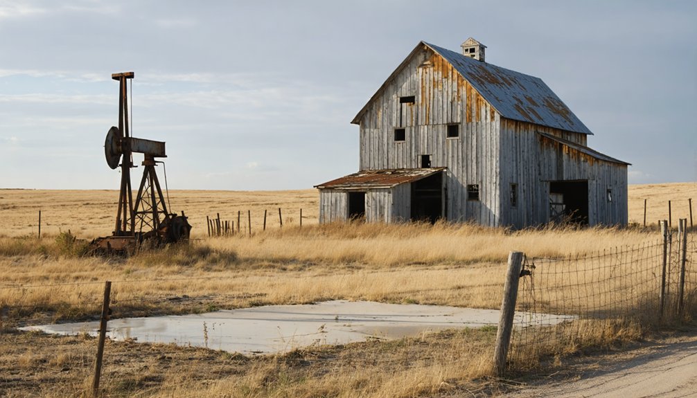
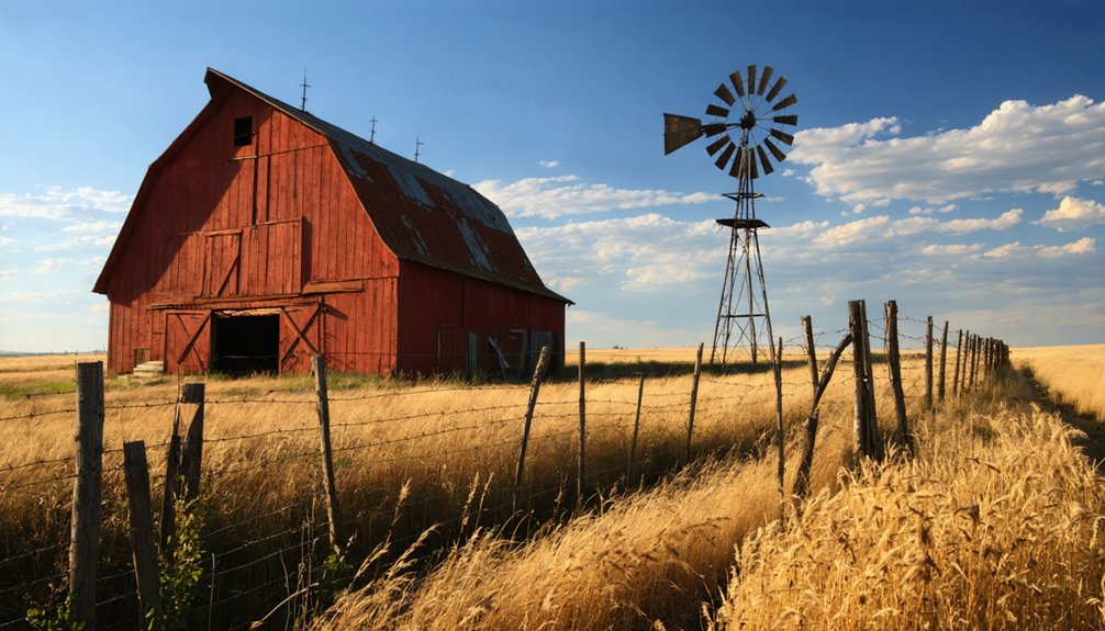
Hooker, South Dakota Ghost Town

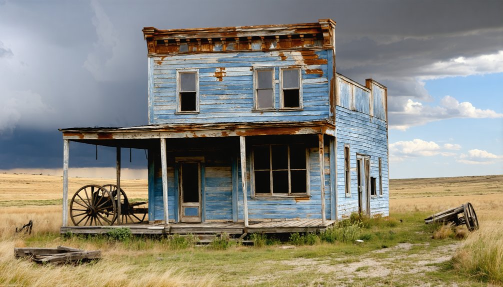
Journey through the ruins of Hooker, where a 1903 tornado transformed a booming railroad town into South Dakota’s forgotten frontier settlement.
Hooker, South Dakota Ghost Town Read More »
Journey through the ruins of Hooker, where a 1903 tornado transformed a booming railroad town into South Dakota’s forgotten frontier settlement.
Hooker, South Dakota Ghost Town Read More »
Between crumbling mines and abandoned saloons, this Black Hills ghost town whispers tales of gold rush dreams and immigrant ambitions.
Hillside, South Dakota Ghost Town Read More »
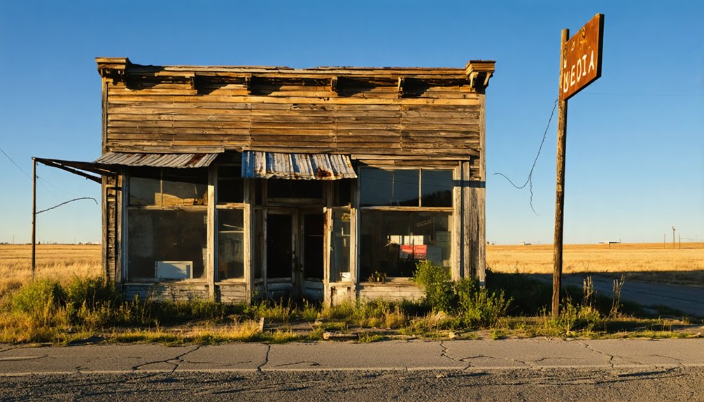
Curious explorers can find two haunting remnants of Hillhead’s brief prairie existence in South Dakota’s remote northeastern hills.
Hillhead, South Dakota Ghost Town Read More »
Once a thriving Black Hills mining town, Hill Side’s crumbling Victorian buildings now whisper tales of forgotten gold dreams.
Hill Side, South Dakota Ghost Town Read More »
Lost in South Dakota’s Black Hills, Heppner’s abandoned sawmill town whispers tales of 100 pioneers who vanished into history.
Heppner, South Dakota Ghost Town Read More »
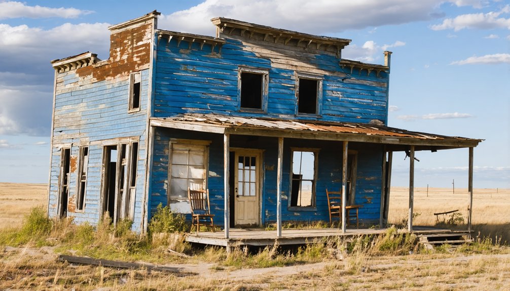
This former Black Hills mining town, where prospectors once struck gold in 1875, holds haunting secrets within its abandoned ruins.
Hayward, South Dakota Ghost Town Read More »
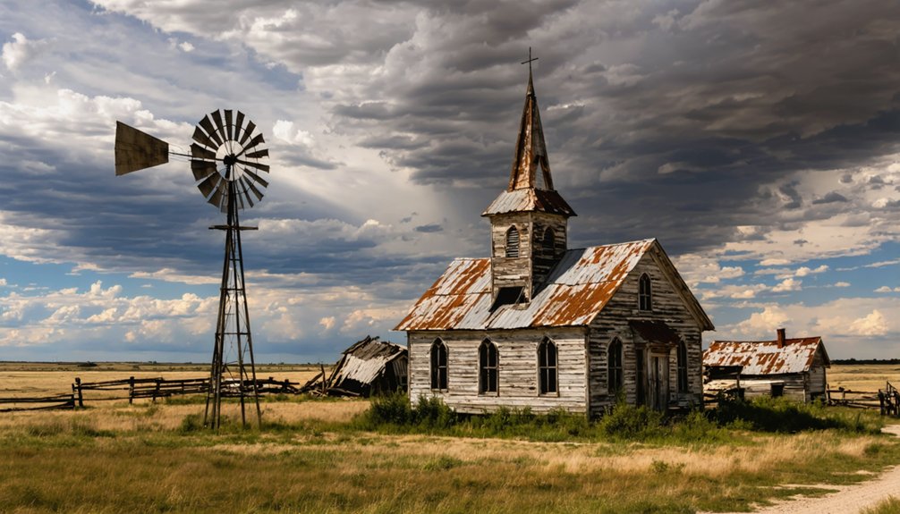
Hidden among the Black Hills’ pines, Harney’s haunting ruins reveal a gold-mining boomtown’s dramatic rise and mysterious demise.
Harney, South Dakota Ghost Town Read More »
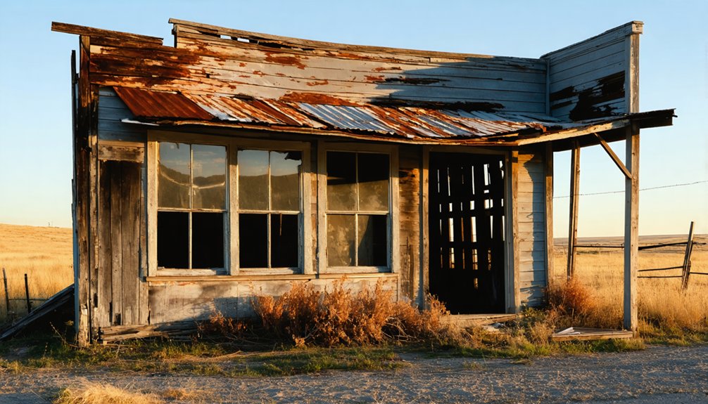
Brutal winters and devastating storms forced pioneers to abandon Hammer, leaving only whispers of frontier dreams in South Dakota’s prairie.
Hammer, South Dakota Ghost Town Read More »
Uncover the enigmatic past of Hagginsville, one of South Dakota’s forgotten ghost towns, where weathered ruins whisper untold frontier tales.
Hagginsville, South Dakota Ghost Town Read More »
Journey into a non-existent ghost town reveals a fascinating case of mistaken location between the Dakotas.
Griggs, South Dakota Ghost Town Read More »