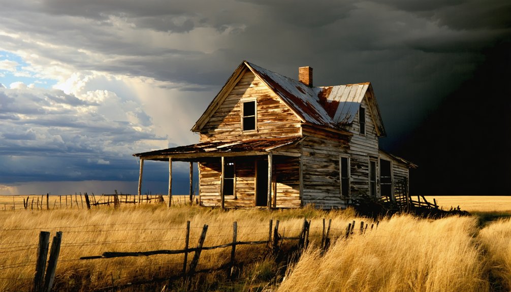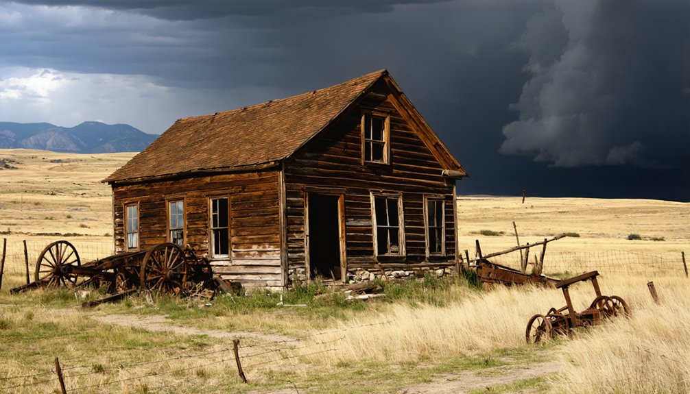
Planning a ghost town road trip to Albany, South Dakota means preparing for a site that’s more absence than artifact. Located in Lawrence County at coordinates 44.1999846, -103.690751, Albany never grew beyond a single structure before vanishing entirely. You’ll need offline maps, extra fuel, and self-sufficient supplies for remote rural roads. It’s not a photogenic ruin—it’s a quiet stretch of open prairie where the frontier’s quietest failures become unexpectedly clear the closer you look.
Key Takeaways
- Albany, South Dakota, is a ghost town in Lawrence County with coordinates 44.1999846, -103.690751, offering no structures—just open prairie and silence.
- Bring offline maps, paper topographic charts, or a GPS with preloaded coordinates, as rural roads lack signage and are difficult to navigate.
- Pack water, snacks, extra fuel, a first-aid kit, sturdy footwear, and offline maps to ensure self-sufficiency in this remote location.
- Drive cautiously on unmaintained gravel roads, watching for potholes, washboards, and wildlife like deer, antelope, and coyotes, especially at dawn and dusk.
- Respect the landscape by staying on public roads, avoiding private property, and leaving no trace beyond tire tracks in the environment.
What Albany, South Dakota Actually Is
Albany, South Dakota isn’t a town you’ll find buzzing with activity or marked by a welcome sign — it’s a ghost town in Lawrence County, so thoroughly vanished that even its earliest maps recorded little more than a single house. Classified as “barren,” Albany represents the opposite of urban renewal — a place that never accumulated enough history to lose.
Its recorded date stretches back to January 27, 1838, suggesting it was more a mapped placeholder than a living community. No cultural preservation efforts exist here because there’s virtually nothing left to preserve.
What you’ll find instead is open western prairie, silence, and a set of coordinates: 44.1999846, -103.690751. Albany isn’t a destination — it’s a footnote, and sometimes that’s exactly what makes a place worth finding.
Why Albany Belongs on a Ghost Town Itinerary
Albany earns its place on a ghost town itinerary precisely because it never became anything—just one house on an early map, then silence.
That minimal footprint gives you a rare contrast when you’re building a route that also hits more photogenic stops like Scenic or Deadwood-area sites.
Treat it as a historical waypoint, and it sharpens the story you’re tracing across western South Dakota’s lost landscape.
A Rare Minimal Settlement
Though most ghost towns carry at least the skeleton of a former Main Street or a cluster of collapsed storefronts, Albany never got that far. Early maps recorded just one house here — a single structure that marked the outer edge of frontier ambition.
No local folklore grew around a booming saloon or a collapsed mine shaft. No settler stories celebrated a town that pushed through hard winters to survive.
Albany simply existed at the margins, a name on a map that history never filled in. That stark minimalism is exactly what makes it worth your attention. It strips away the romance and hands you something rawer — proof that the frontier swallowed as many places as it built.
Contrasting Ghost Town Stops
That raw minimalism sets Albany apart — and it’s exactly why it earns a place alongside stops like Scenic, Deadwood, or Mystic on a serious ghost-town itinerary. Each stop tells a different story:
- Deadwood pulses with preserved local lore, saloons, and restoration through active preservation efforts
- Mystic offers crumbling mill structures and mountain atmosphere
- Scenic delivers eerie, photogenic abandonment with visible remnants
- Keystone blends tourism with genuine frontier history
- Albany gives you something rawer — a mapped place that barely existed
That contrast matters. You’re not just chasing photogenic decay; you’re tracing how settlement actually worked, failed, and vanished. Albany represents the forgotten baseline — the settlements history never bothered saving because there was almost nothing left to save.
Historical Waypoint Value
Few places on a ghost-town itinerary will test your expectations like Albany does — and that’s precisely what makes it worth including. Albany dismantles ghost town myths before you even step out of the car.
There’s no crumbling main street, no photogenic saloon facade — just open prairie marking where a single house once stood on earlier maps. That stark reality carries its own historical weight.
Albany represents the frontier’s quieter failures: settlements that never took hold, mapped into existence but never truly lived. Preservation challenges barely apply here because there was almost nothing to preserve. You’re reading absence itself as history.
Including Albany sharpens your understanding of western settlement patterns and gives your itinerary an honest, grounded anchor that flashier stops simply can’t provide.
How To Locate Albany on Rural South Dakota Roads
Finding Albany means embracing the kind of navigation that early settlers relied on long before digital maps existed. You’ll want to download offline maps or carry paper topographic charts before you leave cell range, since rural Lawrence County roads often won’t register on standard GPS routing.
Watch for low-profile road markers and section-line signs, because Albany’s minimal historical footprint means you won’t find highway signage pointing the way.
Using Offline Navigation Tools
When you’re tracking down a place that never amounted to more than a single house on an old map, standard GPS apps will likely let you down. Albany existed long before urban development and modern amenities shaped how we navigate, so you’ll need tools that match its era’s remoteness.
Download offline navigation before you leave cell range:
- Maps.me or Gaia GPS for rural coordinate tracking
- Albany’s coordinates: 44.1999846, -103.690751
- Printed county road maps from the South Dakota DOT
- A compass for back-road dead zones
- Screenshot backups of your planned route segments
Plug in those coordinates before you lose signal. Western South Dakota’s gravel roads don’t forgive lazy preparation, and Albany’s ghost-like footprint won’t announce itself with signage.
Reading Rural Road Markers
Once your offline maps are loaded and your coordinates are locked in, the next challenge is making sense of what you’ll actually see out your windshield—because rural South Dakota road markers follow their own quiet logic.
County road signs often display numbered grids instead of named streets, remnants of a surveying system laid before urban development ever touched these plains. Watch for small green or brown posts at intersections—they’re easy to miss at speed.
Albany’s story of population decline means no welcome sign greets you, no water tower confirms arrival. You’re orienting yourself by coordinates, instinct, and landmark-to-landmark reasoning.
Note fence lines, section-road intersections, and terrain shifts. When the land feels emptier than everything around it, you’ve likely found what remains of Albany.
Black Hills Ghost Towns To Pair With Albany
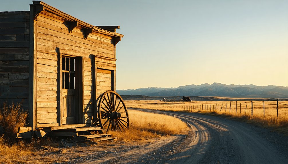
Albany’s minimal footprint makes it a natural starting point, but the Black Hills region rewards you with ghost towns that carry far more visible history. Pair your stop here with destinations rich in abandoned structures and local legends:
- Deadwood – lawless gold-rush streets where gunfighters and gamblers left permanent marks
- Keystone – a mining camp turned crossroads, still shadowed by its extraction past
- Mystic – a timber and mill settlement swallowed quietly by the surrounding hills
- Scenic – a weathered roadside ghost town with actual structures you can photograph
- Ardmore – a Nebraska-border corridor stop along Route 71, stripped down to bare bones
Each site deepens your understanding of how frontier ambition either briefly flared or completely vanished across western South Dakota.
What You’ll Actually See at the Albany Townsite
Those livelier ghost towns give you crumbling storefronts and photogenic decay, but Albany strips the experience down to something rawer — a place so minimal it never really existed in any meaningful built sense. Don’t expect abandoned structures or historical markers pointing toward a vanished main street.
Albany skips the dramatic decay. No crumbling storefronts, no ruins — just the raw truth of a place that barely existed.
Albany reportedly held just one house even on its earliest maps, and today’s landscape reflects that stark truth. You’ll find open prairie, rural road, and silence.
The coordinates place you in Lawrence County’s rolling terrain, where the horizon does most of the talking. That emptiness isn’t a disappointment — it’s the story.
Albany teaches you what frontier settlement failure actually looked like: not dramatic collapse, but a quiet erasure so complete that almost nothing ever needed to fall down.
What To Pack Before Driving Remote South Dakota Back Roads

Before you turn off the pavement toward Albany, load your car with the basics that remote South Dakota demands: water, snacks, a first-aid kit, and downloaded offline maps, because cell coverage thins fast once you’re threading through Lawrence County’s back roads.
Historical records show Albany never supported infrastructure, so preservation efforts here rely entirely on informed visitors who arrive self-sufficient:
- Extra fuel, since service stations vanish on western prairie routes
- Printed or downloaded topo maps covering Lawrence County’s gravel grid
- A camera for documenting forgotten landscape details
- Sturdy footwear for uneven, overgrown terrain
- A notebook to log coordinates and observations
You’re traveling through land that swallowed settlements whole. Arrive prepared, move carefully, and leave nothing behind except your own tire tracks fading into the dust.
How To Stay Safe on Ghost Town Roads in South Dakota
Ghost-town roads in South Dakota don’t forgive careless driving—gravel shifts, shoulders drop without warning, and Lawrence County’s back routes can leave you stranded miles from the nearest service. Road maintenance out here is inconsistent at best, meaning washboards and potholes appear without notice. Slow down before curves, and never assume a gravel road behaves like pavement.
Local wildlife adds another layer of unpredictability. Deer, antelope, and coyotes cross these back roads without hesitation, especially at dawn and dusk. Keep your speed reasonable and your eyes scanning the edges.
Stay on public roads, respect posted private property, and avoid entering any structure you find—collapsed floors and failing roofs don’t announce themselves. Carry water, a first-aid kit, and offline maps. Freedom out here demands preparation.
Frequently Asked Questions
Is There a Best Season to Visit Albany, South Dakota?
Late summer offers you the best visiting times, when seasonal weather stays dry and the open prairie roads remain passable. You’ll trace Albany’s ghost-like silence under wide South Dakota skies without winter’s harsh, isolating grip.
Are Pets Allowed When Exploring Ghost Town Sites in South Dakota?
You’re in luck — pet policies vary, but you’ll generally bring your dog along on public roads. Watch for animal restrictions on private land, and always keep your furry trail companion leashed across South Dakota’s storied, windswept ghost town grounds.
Can Albany Be Visited as a Day Trip From Rapid City?
You can absolutely make Albany a day trip from Rapid City. It’s a quick, historically-grounded detour with zero tourist amenities, but its raw historical preservation spirit rewards freedom-seekers craving authentic, forgotten frontier landscapes beyond polished destinations.
Is Photography Permitted at Ghost Town Locations in Lawrence County?
You’re in the clear for photography at most public ghost town spots in Lawrence County. Follow historical preservation ethics, check local photography regulations, and respect private property — letting Albany’s vanished story speak through your lens.
Are There Guided Ghost Town Tours Available in Western South Dakota?
You’ll find limited guided tour options in western South Dakota, so you’re mostly free to explore ghost town history on your own terms—charting your own course through forgotten landscapes, vanished communities, and the raw, untamed frontier.
References
- https://en.wikipedia.org/wiki/List_of_ghost_towns_in_South_Dakota
- https://takemytrip.com/2016/08/ardmore-south-dakota-ghost-town-and-route-71/
- https://www.youtube.com/watch?v=De3wGn9KDkg
- https://www.tripadvisor.com/Attraction_Review-g54799-d22999414-Reviews-Scenic_Ghost_Town-Scenic_South_Dakota.html
- https://www.youtube.com/watch?v=kpkBy_2SxlA
- https://www.youtube.com/watch?v=PhNQugefrpA
- https://www.onlyinyourstate.com/experiences/south-dakota/scenic-abandoned-town-sd