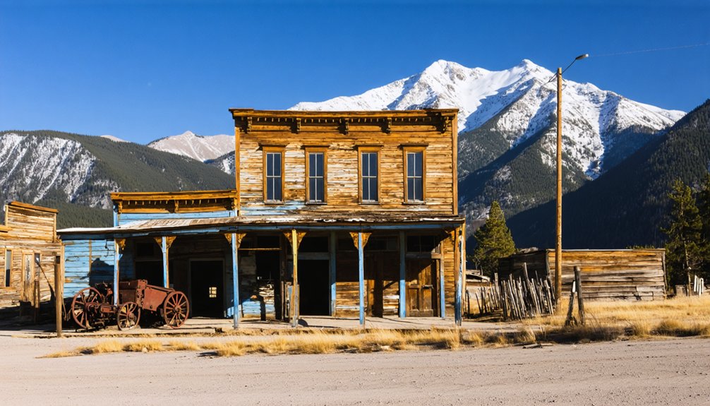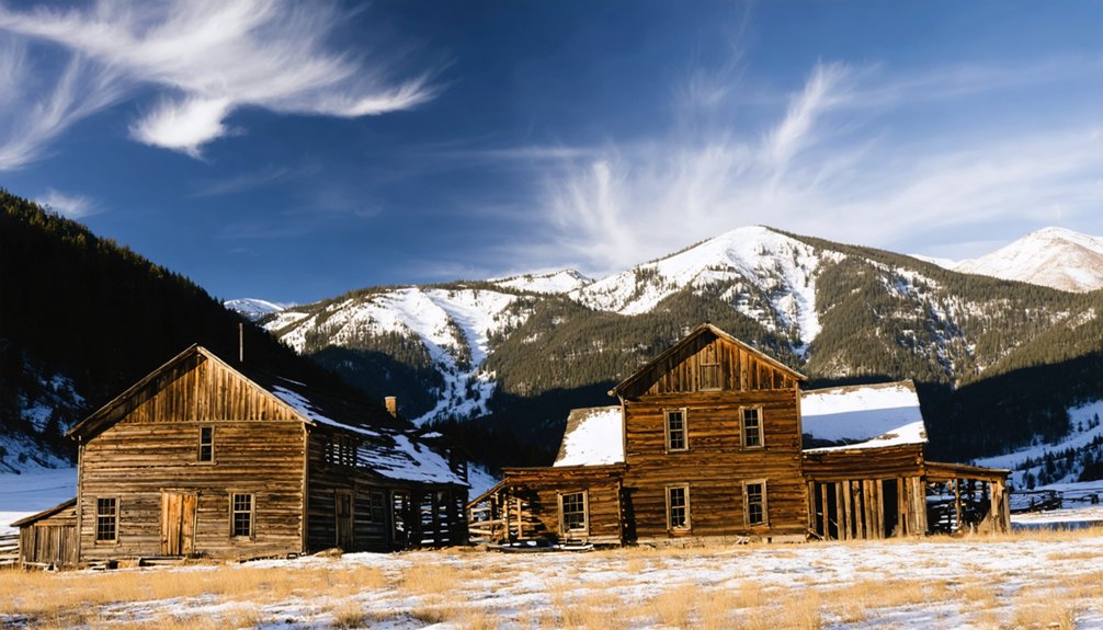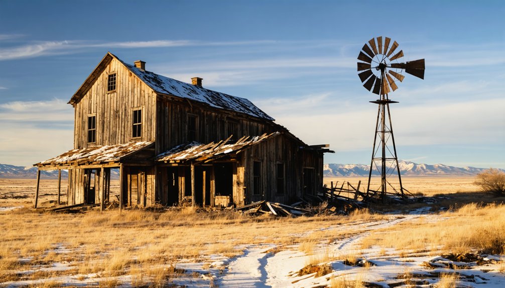
Keota, Colorado sits on the northeastern plains inside Pawnee National Grassland, and you’ll reach it by traveling Weld County Road 390 until a silver water tower breaks the horizon. Once home to 1,250 homesteads, a church, and an opera house, the town emptied slowly after drought, and then the railroad’s 1970 abandonment sealed its fate. What’s left tells a raw, honest story of frontier ambition. Keep going to discover everything you need to plan your trip.
Key Takeaways
- Keota is located in Weld County within Pawnee National Grasslands, accessible via Weld County Road 390, with a silver water tower marking the townsite.
- Visit in late spring or early fall for clear skies, cooler temperatures, and optimal photography conditions; avoid winter due to treacherous roads.
- Bring your own water and supplies, as the remote site offers no amenities but provides an authentic frontier experience.
- Photograph the standing 1918 Methodist church, weathered foundations, cemetery markers, and wide prairie panoramas for compelling ghost town imagery.
- Extend your trip by exploring nearby ghost towns Dearfield and Briggsdale, forming an open-road loop through eastern Colorado’s historic settlement corridor.
What Is Keota, Colorado?
Tucked into the southwest corner of Weld County on Colorado’s northeastern plains, Keota is a ghost town sitting quietly within the Pawnee National Grasslands — its silver water tower still visible on the horizon long before you reach what’s left of the townsite.
This isn’t your typical mining-era ruin. Keota’s story grew from railroad ranching and farming, drawing over a thousand homesteaders to the surrounding prairie at its peak.
Local legends tie the town’s name to a Native phrase meaning “the fire has gone out” — a fitting description for what you’ll find today.
A Methodist church, scattered foundations, and weathered historical architecture are nearly all that remain.
James Michener even used Keota as the model for “Line Camp” in his novel *Centennial*, cementing its quiet place in American frontier history.
How Keota Went From Boomtown to Ghost Town
Keota’s story follows a familiar arc of hope and collapse rooted in the land’s own unpredictability. The Beardsley sisters’ 1880 homestead grew into a bustling railroad town serving some 1,250 surrounding homesteads, complete with schools, churches, and a small opera house.
But drought in the 1890s, a brief wet-weather revival in 1909, and the railroad’s final abandonment in 1970 each chipped away at Keota until the last resident reportedly walked away in 1999.
Homestead Origins And Growth
What started as a humble homestead on Colorado’s northeastern prairie in 1880 grew into a thriving small town — and then nearly vanished. Sisters Mary and Eva Beardsley first broke ground here, establishing roots in a landscape defined by open sky and relentless wind.
They sold the homestead to the Lincoln Land and Cattle Co. in 1888, the same year a schoolhouse opened its doors.
When the Burlington & Missouri River Railroad made Keota a station stop, everything changed. Nearly 1,250 surrounding homesteads looked to the town for trade, fueling growth that supported a high school, newspaper, church, and even a lawyer.
Local legends of those early boom years remain tied to historic preservation efforts that keep Keota’s story alive today. You can still feel that ambition standing on the quiet prairie.
Drought And Decline
When drought gripped Colorado’s northeastern plains in the 1890s, Keota’s boom years collapsed almost as fast as they’d begun. Historical water shortages turned fertile homestead soil into cracked earth, forcing families to abandon the land they’d fought hard to claim.
The farming community decline hit fast — crops failed, neighbors left, and the promise of prairie independence faded against an unforgiving sky.
Yet Keota refused to die quietly. A stretch of wet weather in 1909 sparked a second wave of settlers, rebuilding the town into something almost prosperous again. Churches, a small opera house, and a school rose from the grasslands.
You can still feel that stubborn resilience walking the old townsite — a place that clawed back from the edge before finally letting go.
Railroad Abandonment Sealed Fate
The railroad made Keota, and the railroad’s death unmade it. When the Burlington & Missouri River Railroad abandoned service in 1970, Keota lost its last economic lifeline.
By 1982, crews had pulled up the tracks entirely, erasing the physical evidence of what once connected this prairie town to the wider world. The final resident reportedly walked away in 1999.
What remains carries real cultural significance — the Methodist church, the water tower, the cemetery — quiet monuments to thousands of homesteaders who wagered everything on this land.
Historical preservation efforts here aren’t about restoring a boom; they’re about honoring an honest collapse. When you visit, you’re walking a timeline that ended on its own terms, free of myth, shaped entirely by weather, rails, and human endurance.
What’s Left to See at Keota Today?
When you arrive at Keota, the silver water tower rises above the flat prairie like a stubborn punctuation mark on a nearly blank page.
You’ll also find the 1918 Methodist church still standing, one of the few structures that survived the town’s long unraveling.
Walk the open townsite and you’re treading ground that once supported a school, a newspaper, a fire station, and over a thousand surrounding homesteads.
The Standing Water Tower
Among the handful of remnants still standing at Keota, the silver water tower rises most visibly above the flat prairie, greeting visitors before almost anything else comes into view. It’s a striking piece of historical architecture that once served a town supplying roughly 1,250 surrounding homesteads.
Local legends recall water being delivered by rail car, making this tower a symbol of prairie ingenuity and hard-won survival.
Keep these facts in mind as you approach:
- The tower is no longer operational or safe for public drinking water.
- It predates the railroad’s 1970 abandonment by decades.
- It remains one of Keota’s most photographed landmarks.
- Its visibility across open land makes it your natural navigation point when arriving via Weld County Road 390.
The Methodist Church Remains
Just past the water tower, another survivor of Keota’s faded ambitions comes into view: the Methodist church, built in 1918 during the town’s World War I-era peak. It stood at the center of a community that once had several churches, a small opera house, and real civic pride.
Today, it’s one of the few structures still holding its shape against the prairie wind.
Local legends swirl around Keota’s rapid rise and equally rapid unraveling, and the church quietly anchors those stories to something tangible. You can see where the congregation gathered, where hope had a physical address.
Modest preservation efforts have kept it recognizable, though nature continues pressing its case. Standing here, you feel the weight of a town that genuinely tried to last.
Prairie Townsite Remnants
Beyond the church, the rest of Keota asks you to look harder. Historical preservation here isn’t polished — it’s raw, honest, and rooted in local legends that the prairie quietly guards. You’re reading a landscape, not a museum.
What remains tells the real story:
- Schoolhouse foundation (est. 1888) — the concrete outline where generations learned, now open to the sky
- Silver water tower — still standing, no longer safe, but impossible to miss on approach
- Cemetery remnants — markers that connect names to the 1,250 homesteads once surrounding this town
- Railroad corridor — tracks removed by 1982, yet the grade still cuts visibly across the grasslands
Walk it slowly. Keota rewards those willing to read silence.
How to Get to Keota on Your Road Trip
Reaching Keota means venturing deep into Colorado’s northeastern plains, where the Pawnee National Grasslands stretch wide and the horizon swallows everything familiar. You’ll navigate Weld County Road 390, trading busy highways for open prairie routes that feel earned rather than given.
The isolation isn’t accidental — it’s the landscape that shaped Keota’s local legends and tested every settler who stayed.
Once you arrive, the silver water tower signals the townsite before anything else comes into focus. From there, the historic architecture of the 1918 Methodist church anchors what little remains standing.
Bring your own water and supplies because services don’t exist out here. The remoteness demands respect, but it also delivers exactly what freedom-seekers want — unfiltered prairie silence and a ghost town that history hasn’t quite finished telling.
What to Expect When You Arrive at Keota?
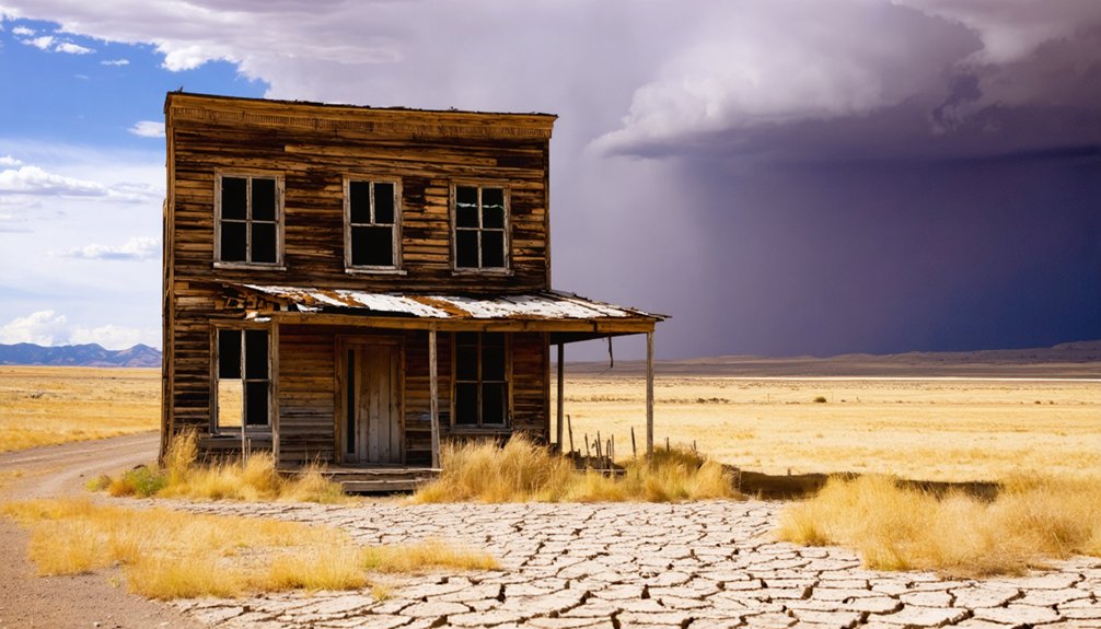
Arriving at Keota, you’ll find a townsite that wears its abandonment honestly. The prairie stretches in every direction, and the silence itself tells you something.
Keota does not hide what it has become. The land speaks plainly, and the quiet confirms everything.
A few modern homes sit near the historic core, reminding you that history and the present still share this land.
Look for these anchors as you explore:
- The silver water tower — a solitary sentinel still visible from a distance
- The 1918 Methodist church — a rare survivor worth photographing
- The schoolhouse foundation — where historic preservation ended at concrete and memory
- The open grassland backdrop — where local legends about the town’s name, “the fire has gone out,” suddenly feel earned
Come with a full tank, no expectations of services, and genuine curiosity.
Best Times of Year to Visit Keota
Timing your visit to Keota shapes everything you’ll take home from it. Late spring and early fall offer the clearest skies and coolest temperatures for exploring the open prairie without brutal heat slowing you down. Summer visits are possible, but eastern Colorado’s midday sun hits hard on exposed ground with no shade.
Winter isolates the site entirely — roads turn treacherous and visitor safety becomes a real concern on remote Weld County roads. Spring wildflowers briefly transform the grasslands, giving the Methodist church and water tower a striking backdrop worth photographing.
Fall light flatters the historic townsite’s weathered textures. Whatever season you choose, historical preservation etiquette applies year-round — stay off deteriorating structures and leave everything as you found it. Keota’s remnants belong to the landscape.
What to Photograph in Keota?
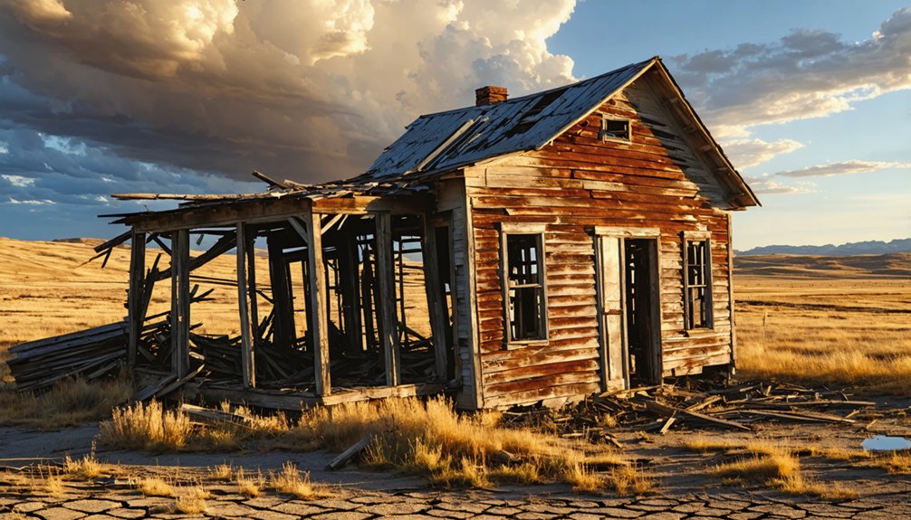
Keota’s silver water tower rises from the flat prairie like a relic standing guard over a town that’s mostly gone, making it your most striking and immediately recognizable shot.
Turn your lens toward the 1918 Methodist church, one of the few historic structures still intact, and you’ll capture the quiet dignity of a community that once supported opera houses and newspapers.
Pull back for wide-angle frames of the open grasslands surrounding the townsite, where the endless sky and sparse remnants tell the full story of boom, drought, and slow disappearance.
The Iconic Water Tower
Hard to miss as you roll across the open prairie, Keota’s silver water tower rises against the sky like a punctuation mark at the end of a long, flat sentence. It’s no longer operational, but it remains a powerful symbol of historical preservation and local legends tied to this vanished community.
Frame your shot carefully — the open sky does half the work.
Four reasons this tower deserves your camera:
- It marks where civilization once planted itself defiantly on empty plains
- Its weathered steel reflects decades of drought, revival, and abandonment
- Local legends connect it to rail-delivered water when wells ran dry
- Nothing else for miles competes with its silhouette at golden hour
Let it anchor your visual story of Keota.
The Methodist Church
Standing since 1918, the Methodist church is one of Keota’s few structures that still holds its shape against the prairie wind. You’ll find it quietly anchoring the townsite, a survivor of drought, abandonment, and decades of isolation.
Its weathered exterior carries the weight of local legends — stories of congregations that once filled its pews during Keota’s brief World War I-era revival. Frame your shot from the front, letting the open sky and flat grasslands stretch behind it.
That contrast between the enduring structure and the empty horizon says everything about this place. Historic preservation efforts remain minimal here, which means what you’re photographing is raw and unpolished.
That authenticity is exactly what makes the church worth your camera’s attention.
Open Prairie Backdrops
Beyond the church and water tower, the open prairie itself becomes your most compelling subject at Keota. The grasslands stretch endlessly, telling stories of local legends, failed dreams, and stubborn survival.
Historical preservation here isn’t confined to buildings — it lives in the landscape.
Point your lens toward:
- Abandoned foundations half-swallowed by native grasses, marking where families once built futures
- The cemetery perimeter, where weathered markers anchor personal histories to this windswept soil
- Converging dirt roads disappearing toward the horizon, evoking the isolation early homesteaders endured daily
- Wide-sky panoramas framing the water tower against unbroken grassland — a shot capturing Keota’s quiet defiance
You’re photographing freedom here — land that outlasted everything humans tried to build upon it.
Other Ghost Towns Near Keota to Add to Your Route
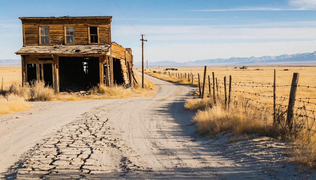
Keota doesn’t have to be your only stop — Colorado’s northeastern plains and surrounding region hold several other ghost towns worth folding into your route. Dearfield, once a thriving Black homestead colony, carries local legends and ghost town myths that cut deeper than most roadside ruins.
Briggsdale sits nearby, a quiet reminder of prairie ambition that slowly unraveled. Further south, you’ll find remnants of towns that boomed on the same railroad optimism that built Keota, then collapsed when the trains stopped coming.
Each stop adds texture to the larger story of eastern Colorado‘s rise and retreat. String these sites together on an open-road loop, and you’ll leave with a far richer sense of what this unforgiving, beautiful landscape once promised — and ultimately reclaimed.
What to Bring for the Drive Out to Keota
Because Keota sits deep in the Pawnee National Grasslands with no gas stations, convenience stores, or reliable cell service nearby, you’ll want to treat this drive like a genuine backcountry excursion. The open prairie rewards preparation, not improvisation.
- Full tank of gas and a paper map — cell signals vanish long before Weld County Road 390 does.
- Water and food for the day — the town once received water by rail car; you won’t have that luxury.
- Binoculars — wildlife sightings, including pronghorn and raptors, are common across the grasslands.
- A notebook or voice recorder — local legends about Keota’s abandoned streets hit differently when you’re standing inside them.
Pack light, pack smart, and respect the silence this land has earned.
Who Should Actually Make the Trip to Keota?
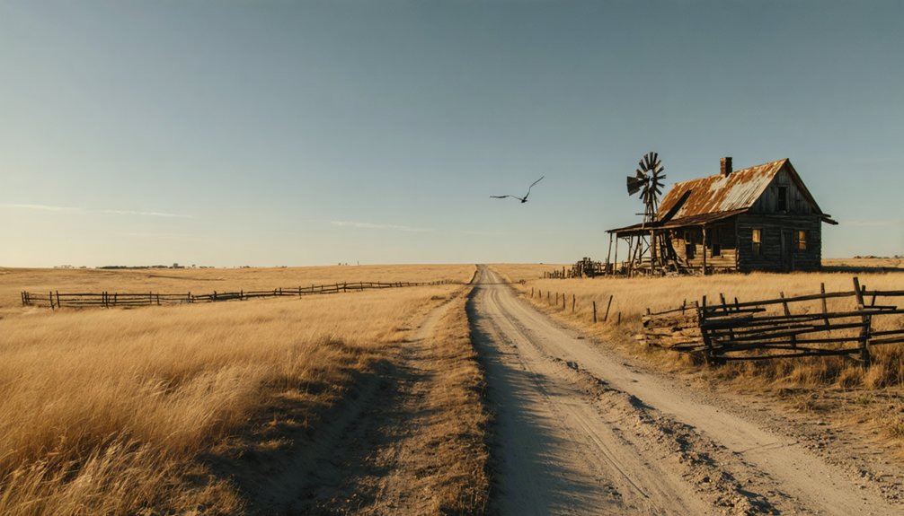
Not every traveler belongs in Keota — and that’s exactly what makes it worth knowing who does. If you’re drawn to local history over staged attractions, you’ll find something genuine here.
Keota rewards the curious — people who read a rusting water tower as a chapter in Colorado’s homesteading story, not an eyesore. You should come if you respect preservation efforts without needing polished interpretive signs telling you what to feel.
This place suits independent travelers who carry their own water, read their own maps, and understand that silence is part of the experience. If you need comfort stops every thirty miles, reroute.
But if an abandoned Methodist church on open prairie moves you, and Michener’s *Centennial* sits on your shelf, Keota belongs on your itinerary.
Frequently Asked Questions
Is Keota’s Water Tower Safe to Climb or Touch?
You shouldn’t touch or climb Keota’s water tower. Authorities don’t consider it safe — it’s one of those hauntingly beautiful abandoned structures that’s best admired from a distance, where water tower safety concerns protect your freedom to explore further.
Was Keota Really the Inspiration for a Famous Novel?
Ghost town legends and famous author rumors hold true — James A. Michener reportedly modeled “Line Camp” in *Centennial* after Keota. You’re walking ground that inspired one of America’s most celebrated historical novels.
What Does the Name Keota Actually Mean?
You’ll find Keota’s name carries deep cultural significance — it’s said to mean “the fire has gone out” in a Native language, a hauntingly evocative phrase that echoes the town’s local history and its quiet, inevitable abandonment.
Can You Legally Enter the Remaining Buildings at Keota?
Only 1 resident remained by 1999 — yet property access regulations still protect what’s left. You can’t legally enter Keota’s surviving structures; historical preservation laws guard these weathered relics, so respect boundaries and let the prairie speak freely.
Did Keota Ever Have a Post Office Residents Could Use?
Yes, you’d have found a working historical post office serving Keota’s residents across decades of Keota postal history — it opened briefly in 1890, reopened in 1909, and kept connecting isolated prairie souls until finally closing in 1974.
References
- https://en.wikipedia.org/wiki/Keota
- http://coloradosghosttowns.com/page322.html
- https://www.reddit.com/r/AbandonedPorn/comments/w8jw29/the_ghost_town_of_keota_colorado_oc/
- https://www.facebook.com/groups/colorfulcoloradocollective/posts/2134622233972709/
- https://www.kunc.org/arts-life/2014-09-25/arid-adversity-of-prairie-life-has-yet-to-erase-keota-colorado
- https://ghosttownsoftherockies.com/towns/keota/
- https://www.youtube.com/watch?v=cJoBZChw1z4
- https://www.youtube.com/watch?v=dRtlbNzBTvI
- https://kekbfm.com/colorado-ghost-town-keota/
- https://www.youtube.com/watch?v=xqZq9QmPc8Q