Planning a ghost town road trip to Arabella Las Tablas, New Mexico, means venturing into Lincoln County’s forgotten high desert, where 12,000 sheep once roamed before the community quietly vanished by the 1920s. You’ll need landowner permission, GPS coordinates, sturdy boots, and a sense of adventure to explore weathered adobe walls, timber frames, and a preserved historic cemetery. This remote site rewards the well-prepared traveler, and there’s far more to uncover about what made Arabella rise, fall, and survive as a quiet desert secret.
Key Takeaways
- Arabella, formerly Las Tablas, is a ghost town in Lincoln County, New Mexico, accessible via 2WD roads from Highway 246.
- The site sits on private Block Ranch property, so contact landowners beforehand to obtain permission and avoid trespassing.
- Bring GPS coordinates (33°35′13″N 105°10′24″W), water, sturdy boots, and a metal detector for the 3-mile trek.
- Expect weathered adobe walls, timber frames, scattered foundations, and a historic cemetery blending into overgrown, uneven terrain.
- Leave no trace—photograph remnants only, respect property boundaries, and treat the site as a protected historic resource.
What Was Arabella Las Tablas, New Mexico?
Tucked into the southeast end of New Mexico’s Capitan Mountains, Arabella Las Tablas started life in the late 1870s as a ranching settlement called Las Tablas — a name drawn from the area’s abundant timber resources.
Nestled in the Capitan Mountains, Las Tablas took root in the 1870s, shaped by timber and ranching traditions.
By 1901, Andy Richardson had established a post office and general store, and the community took on its new name: Arabella.
At its peak, ranchers here managed herds of 12,000 sheep and 250 cattle, building a hardworking community rooted in the land.
Local legends suggest the settlement thrived quietly, far from the spotlight of larger New Mexico towns.
Workers left behind historical artifacts — adobe ruins, timber frames, and scattered foundations — that still whisper stories of that era.
How Sheep, Cattle, and Timber Shaped This Remote Lincoln County Settlement
What turned Las Tablas into a functioning community wasn’t luck — it was livestock and land. The settlement’s original name pointed directly to its timber resources, and those forests drew early settlers looking to build something lasting.
Once the ranching economy took hold, workers were managing herds of 12,000 sheep and 250 cattle across Lincoln County’s rugged terrain.
That scale of operation carried real historic significance — this wasn’t a casual frontier outpost. It was a working, breathing ranching culture.
You can still feel that legacy when you research the site today, recognizing the cultural preservation challenges tied to protecting what remains of those homesteads and foundations.
The land shaped the people, and the people shaped a community that, for decades, carved a genuine life out of remote New Mexico wilderness.
Why Arabella Las Tablas Collapsed as a Ghost Town by the 1920s
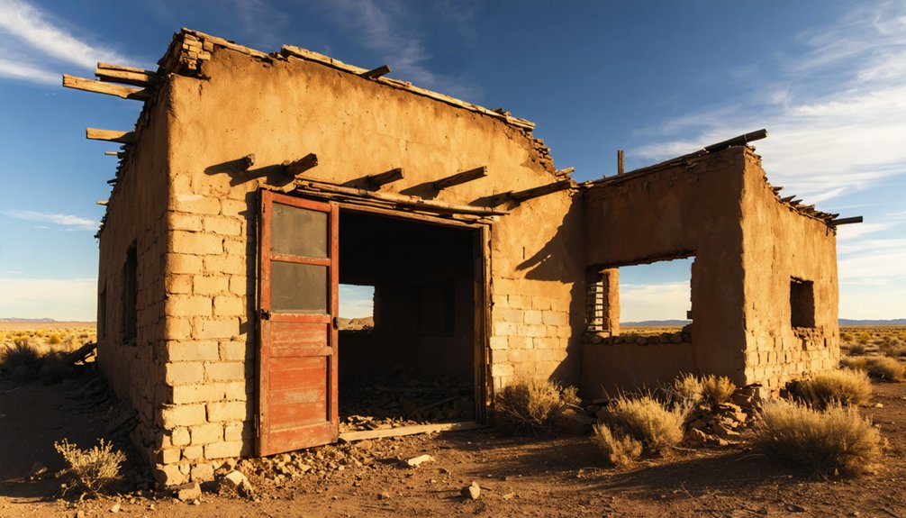
By the mid-1920s, Arabella Las Tablas had gone quiet — and the post office closing in 1923 (some accounts say 1928) marked the clearest signal that the community couldn’t sustain itself. Rural migration pulled families toward towns offering steadier opportunities, leaving ranches abandoned and adobe walls to slowly crumble.
The ranching economy that once supported herds of 12,000 sheep couldn’t hold people in place forever. When the work dried up, so did the settlement.
Today, historical preservation efforts remain minimal — no official markers, no maintained structures, just scattered foundations and a quiet cemetery keeping the memory alive. You’re fundamentally visiting a place history forgot to protect. That rawness is exactly what makes Arabella Las Tablas worth finding.
Do You Need Permission to Visit Arabella Las Tablas?
Before you pack the car and head toward the Capitan Mountains, understand that Arabella Las Tablas sits almost entirely on private ranch property — and that changes everything about how you plan this visit. Local land ownership here falls under Block Ranch, and private property regulations mean you can’t simply wander in expecting open access.
You’ll need to contact landowners directly and secure permission before stepping foot on the site. Don’t skip this step — trespassing isn’t freedom, it’s a fast way to lose access entirely for yourself and future visitors.
Once you have permission, you’re looking at adobe ruins, scattered foundations, and a historic cemetery that rewards the effort. Respect the land, honor the process, and this ghost town opens up on its own terms.
How to Reach Arabella Las Tablas From State Highway 246
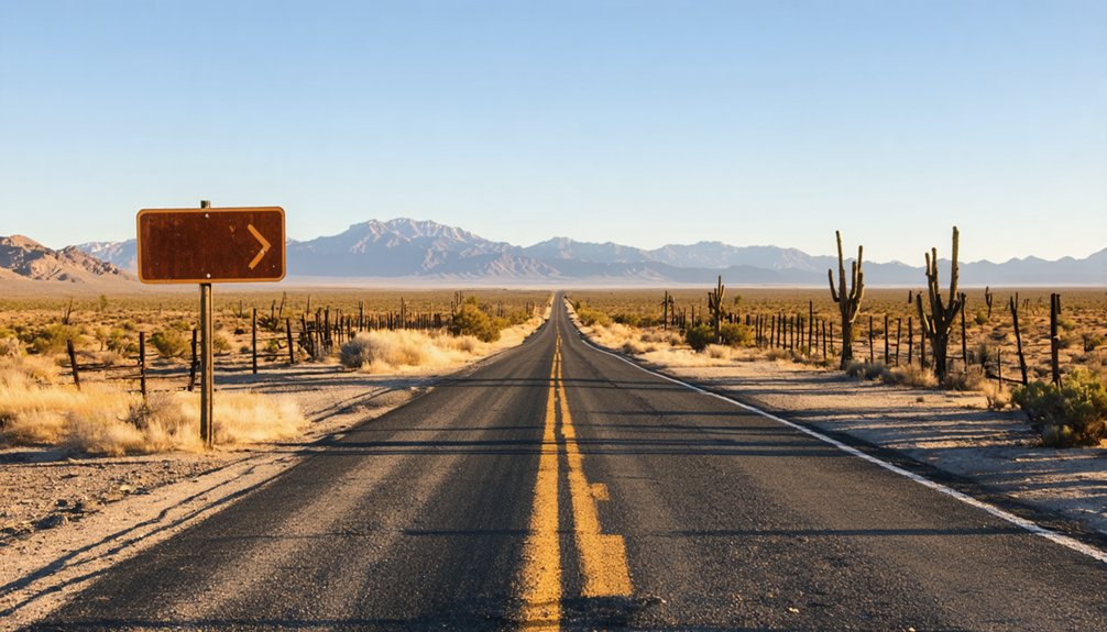
State Highway 246 serves as your primary reference point when heading toward Arabella-Las Tablas, placing you within roughly three miles of the townsite once you’re on the right track.
From there, you’ll navigate 2WD roads through ranchland terrain, so you won’t need a high-clearance vehicle. However, you’ll need to pay close attention to your route since no direct public roads lead straight to the site.
Once you’re close, use the GPS coordinates 33°35′13″N 105°10′24″W to pinpoint the townsite, because the remaining adobe ruins and foundations aren’t easy to spot without local knowledge or advance preparation.
Starting From Highway 246
Highway 246 is your anchor point for reaching Arabella Las Tablas, putting you roughly three miles from the ghost town’s remains once you’re traveling along its route. From here, you’ll navigate 2WD-accessible roads that wind toward the southeast end of the Capitan Mountains.
This is where the forgotten ranching settlement quietly faded into history by the mid-1920s.
The mild climate makes the drive comfortable year-round, giving you flexibility on timing. Keep your GPS coordinates handy — 33°35′13″N 105°10′24″W — since the site isn’t well-marked.
Local history runs deep here, and preservation efforts remain minimal, meaning the land looks much as it did decades ago.
Nearby Ruidoso serves as a practical base if you’re planning an extended exploration of this corner of Lincoln County.
Navigating The Final Miles
Once you’ve turned off State Highway 246, the final three miles to Arabella Las Tablas unfold across 2WD-accessible roads that cut through the quiet ranchland flanking the Capitan Mountains’ southeast end. The mild climate keeps these roads passable year-round, so you won’t need a high-clearance vehicle.
Navigate carefully using the GPS coordinates 33°35′13″N 105°10′24″W, since no prominent signage marks your destination. The site blends into surrounding ranchland, and without local legends passed between ghost town hunters, you’d likely drive past it entirely.
Preservation challenges mean the adobe ruins and scattered foundations aren’t immediately obvious. Bring a topographic map, and consider a metal detector for locating buried remnants.
Most importantly, secure landowner permission before you arrive — the Block Ranch remains private property throughout.
Locating The Townsite
Turning off State Highway 246 puts you roughly three miles from the Arabella Las Tablas townsite, where 2WD roads weave through the ranchland hugging the Capitan Mountains’ southeast end.
The GPS coordinates 33°35′13″N 105°10′24″W will anchor your search, but don’t expect obvious landmarks greeting you. Adobe ruins, scattered foundations, and timber frames blend quietly into the landscape, reflecting both the cultural significance this ranching community once held and the preservation challenges that come with abandonment on private land.
The historic cemetery remains somewhere on Block Ranch property, though you’ll likely need local knowledge or a metal detector to find much else.
The townsite operates as a well-kept secret, rewarding curious, respectful visitors who do their homework before arriving.
What’s Left at the Arabella Las Tablas Townsite Today?
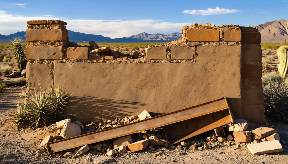
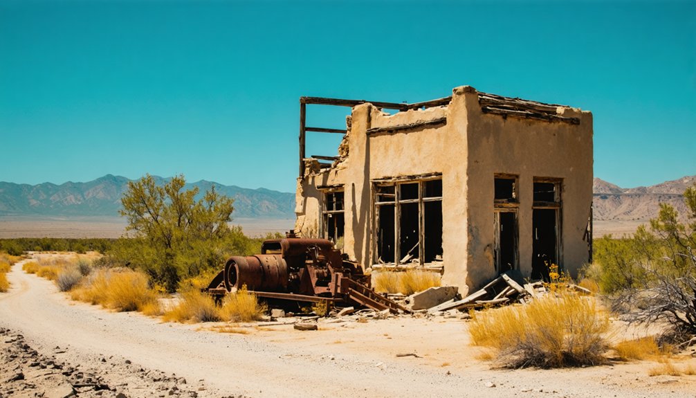
When you arrive at the Arabella Las Tablas townsite, you’ll find adobe ruins, timber frames, and scattered foundations that hint at the community’s ranching past.
You’ll also come across abandoned homesteads that aren’t always easy to spot without local knowledge or a metal detector.
Perhaps the most enduring feature you can look for is the historic cemetery, which still stands on what’s now largely private ranch property.
Adobe Ruins And Foundations
What remains at Arabella Las Tablas today is a quiet scatter of adobe ruins, timber frames, and crumbling foundations half-swallowed by the high desert landscape. The site reflects both the timber resources that shaped its early identity and the ranching history that sustained it for decades.
You won’t find obvious landmarks here — discovery takes patience and local knowledge.
Look for these remnants across the property:
- Adobe walls partially standing amid overgrown brush
- Timber frame structures weathered but still visible
- Scattered foundations marking former homesteads
- A historic cemetery preserved quietly on the land
Most of what survives sits on private ranch property, so you’ll need landowner permission before exploring.
Bring GPS coordinates and respect the boundaries — this place rewards the prepared and the respectful.
Historic Cemetery Remains
Among the few identifiable remnants still standing at Arabella Las Tablas, the historic cemetery holds its ground as the most sobering landmark on the property. You’re walking ground where ranchers, their families, and laborers who shaped early farming techniques in this rugged corner of Lincoln County now rest permanently.
Community legends tied to the settlement’s boom years feel most tangible here, where weathered markers quietly confirm that real lives unfolded in this isolated landscape.
The cemetery survives on what’s now private ranch property, so you’ll need landowner permission before stepping onto the site. Don’t expect manicured grounds or easy access. What you’ll find instead is an unpolished, honest piece of the American frontier that no highway marker adequately prepares you for.
What to Bring When You Visit Arabella Las Tablas?
Packing smart makes the difference between a frustrating outing and a rewarding one at Arabella Las Tablas. The terrain features local flora, scattered rock formations, and uneven ground, so preparation matters. Since most remains sit on private ranchland, you’ll want to arrive ready and respectful.
Bring these essentials:
- Permission documentation – Carry written landowner consent before stepping onto Block Ranch property.
- Metal detector – Many remnants aren’t visible without one, given how buried foundations become.
- GPS device – Load coordinates 33°35′13″N 105°10′24″W before losing cell signal.
- Water and sturdy boots – The 3-mile stretch from Highway 246 demands physical readiness.
You’re exploring a well-kept secret, so treat it accordingly. Leave nothing behind, take only photographs, and honor the land‘s ranching history.
Frequently Asked Questions
Can You Camp Overnight Near the Arabella Las Tablas Ghost Town Site?
You’ll need permission since it’s private ranch land. No overnight amenities exist on-site, and camping regulations require you to contact landowners first. Nearby Ruidoso offers campgrounds where you can freely base your ghost town adventure!
Are There Guided Ghost Town Tours Available Near Lincoln County, New Mexico?
You won’t find formal guided tours, but you can connect with local historians passionate about historical preservation and local legends who’ll enthusiastically share Lincoln County’s ghostly secrets, making your adventure feel authentically free and personally discovered.
What Other Ghost Towns Are Located Near Arabella Las Tablas in New Mexico?
You’ll find nearby ghost towns rich in historical preservation and local legends! Explore White Oaks, Lincoln, and Nogal—each offering freedom-seekers haunting remnants of New Mexico’s wild past, just a short drive from Arabella-Las Tablas.
Is the Arabella Las Tablas Cemetery Open for Genealogical Research Visits?
The cemetery’s historical significance endures, yet it’s private property—you’ll need landowner permission before visiting. Cemetery preservation matters here, so respect boundaries, seek approval, and you can explore this hidden piece of New Mexico’s ranching heritage responsibly.
What Is the Best Time of Year to Photograph the Arabella Ruins?
You can visit anytime for photography, but golden-hour lighting enhances historical preservation details beautifully. Bring wide-angle lenses to capture adobe ruins and timber frames. These photography tips’ll help you document Arabella’s haunting, freedom-inspiring landscape unforgettably.
References
- https://www.ghosttowns.com/states/nm/arabella-lastablas.html
- https://www.youtube.com/watch?v=ytfCUlLH3Ac
- https://www.newmexicoghosttowns.net/ghosttowns
- https://landofentrapment.blog/arabela-and-the-ufo-alien-crash-communion-wall/