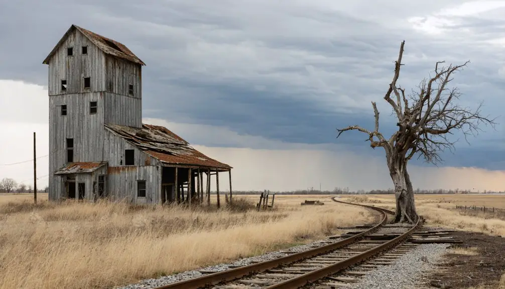
Planning a ghost town road trip to Beaver, Minnesota means heading into the rugged Whitewater Valley along MN 74, where a forgotten farming community once thrived before erosion, flooding, and farm mechanization wiped it off the map by 1932. You won’t find standing buildings or historic markers here—just overgrown floodplains, swampy terrain, and layered history beneath your feet. Bring offline maps, pack for the season, and get ready to uncover one of southeastern Minnesota’s most compelling lost landscapes.
Key Takeaways
- Beaver, Minnesota, founded in 1854, was the first Whitewater valley town, abandoned by 1932 after erosion, flooding, and farm mechanization devastated the community.
- The townsite sits near MN 74 and Winona County Road 30, accessible via Altura, Elba, and Whitewater State Park with no official road signs marking it.
- Bring offline maps, as the overgrown, swampy site has no visible ruins or signage, requiring intentional navigation through southeastern Minnesota’s rugged terrain.
- Visit in spring or fall for mild weather; avoid winter and early spring due to potentially limited road access and harsh conditions.
- Pair the Beaver townsite with stops at Whitewater State Park, Elba, and St. Charles for hiking, cultural context, and meals.
What Was Beaver, Minnesota?
Before the Whitewater valley filled with silence, Beaver was a small farming community that New England settlers founded in 1854, making it the first established town in the valley. You’d have found it tucked near the junction of State Highway 74 and Winona County Road 30, where Beaver Creek and the Whitewater River carved through rugged terrain rich with local flora and fauna.
The town’s name came straight from local legends rooted in observation — beavers were already damming the creek when settlers arrived. Those settlers followed suit, building their own dam to power a mill.
What grew around it was a modest agricultural community, shaped entirely by the land beneath it and destined to disappear when that land could no longer sustain it.
How Beaver Went From Farm Town to Ghost Town
Beaver started as a humble farming settlement, where New England settlers worked the land and built a quiet rural life in the Whitewater valley.
As farm mechanization took hold, the need for labor shrank, younger residents moved on, and the community’s foundation quietly crumbled.
Then erosion and Dust Bowl-era flooding delivered the final blow, burying the townsite under flood deposits until the state stepped in, purchased the land, and tore down what little remained.
Farming Roots Take Hold
When settlers arrived in Beaver in 1854, they didn’t find a town—they built one from scratch, carving out small farms in the Whitewater valley and learning to work with the land around them. These New Englanders noticed beavers damming the creek and followed that example, building their own dam to power a mill. That practical ingenuity became part of local folklore, connecting the community’s name directly to the landscape itself.
Small-scale farming defined daily life here, with no major industry anchoring the settlement—just land, labor, and determination. Today, historic preservation efforts help document what that early community looked like before time erased it.
Understanding Beaver’s farming roots gives you the clearest picture of why its eventual collapse hit so hard and so completely.
Economic Shifts Accelerate Decline
Farm mechanization didn’t just change how work got done—it quietly dismantled the entire reason Beaver existed.
Agricultural mechanization slashed the labor small communities depended on, and Beaver had nothing else to fall back on. No factory, no railroad, no strategic advantage kept people rooted.
As rural depopulation accelerated, younger residents left for larger towns offering better wages and more opportunity. Stores closed when customers disappeared. The school shut its doors when families thinned out. Public services followed the same pattern, each loss making the next departure easier to justify.
The Dust Bowl era delivered a final blow. Erosion and flood deposits damaged the surrounding land, stripping away whatever agricultural promise remained.
Erosion Erases The Town
Erosion didn’t just reshape the land around Beaver—it finished what economic decline had started. During the Dust Bowl era, runoff stripped hillsides bare, sending sediment cascading into the Whitewater valley.
Flood deposits buried what remained of the townsite, turning farmland into swampy, overgrown terrain. By 1932, the state had purchased most of the land and torn down the buildings.
There was no urban development waiting to absorb the community, no cultural preservation effort to document what stood there. Nature simply reclaimed it.
Today, the Beaver townsite functions as a nature reserve, with little visible evidence a town ever existed. When you visit, you’re not reading a landscape shaped by time alone—you’re reading one actively erased by it.
What’s Left to See at the Beaver Townsite Today?
If you’re hoping to find weathered storefronts or crumbling foundations at the Beaver townsite, you’ll likely leave disappointed. The state purchased most of the land in 1932, tore down the buildings, and nature reclaimed the rest.
Today, the area is largely overgrown and swampy, shaped by the same flood deposits that drove residents away decades earlier.
What you’ll find is a landscape rich with local legends and quiet historical weight. The Whitewater valley itself becomes the historic landmark here — the creek, the bottomland, and the surrounding bluffs tell the story better than any structure could.
Pair your visit with nearby Whitewater State Park to add context and scenery. Beaver rewards curiosity, not sightseeing — it’s a place you experience through imagination and landscape, not through ruins.
How to Reach Beaver via MN 74
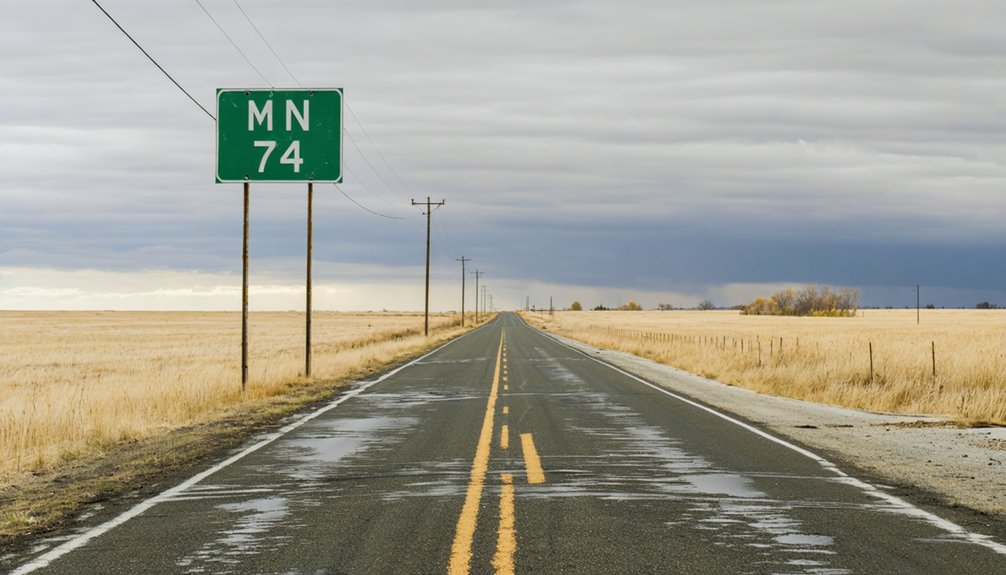
Reaching Beaver is straightforward once you orient yourself along MN 74, a rural highway that cuts through the Whitewater valley in southeastern Minnesota. The road follows natural creek corridors, putting you directly in the landscape where local legends first took shape in 1854.
Use these access points to plan your approach:
- From Altura: Head south on MN 74 toward the Whitewater River junction.
- From Elba: Travel north on MN 74, keeping Beaver Creek on your radar.
- From Whitewater State Park: Exit onto Winona County Road 30 heading west.
Historic preservation efforts have transformed this corridor into protected land rather than a developed destination. You won’t find road signs marking Beaver, so download offline maps and treat the drive itself as part of the experience.
The Best Time to Visit the Whitewater Valley
Spring and fall offer the most rewarding visits to the Whitewater Valley, when mild temperatures make outdoor exploration comfortable and the surrounding bluffs display their most dramatic color.
You’ll want to avoid late winter and early spring if recent rains have been heavy, since the valley’s creek-fed terrain turns soft and the low-lying areas around the old Beaver townsite get marshy fast.
Summer works if you don’t mind humidity and thicker vegetation, though the overgrowth can make it harder to read the landscape where the town once stood.
Ideal Visiting Seasons
Though Beaver itself no longer stands, the Whitewater Valley it once called home gives you a reason to visit year-round—but timing your trip well makes a real difference.
Each season shapes your experience differently:
- Spring brings rushing creek water and visible flood-carved terrain that explains Beaver’s environmental collapse firsthand.
- Summer offers the clearest access to overgrown areas, supporting modern tourism through nearby Whitewater State Park’s full amenities.
- Fall delivers dramatic bluff foliage along MN 74, making cultural preservation stops feel more atmospheric and worth the detour.
Winter visits are possible but limit exploration considerably.
If you’re chasing ghost-town history and landscape storytelling, late spring through early fall gives you the best combination of access, visibility, and natural context for understanding what this valley once held.
Weather And Road Conditions
Weather along the MN 74 corridor shifts dramatically by season, and those shifts directly affect how much of the Whitewater Valley you can actually explore. Spring brings wildflower blooms along the creek banks, but also soft shoulders, muddy pull-offs, and unpredictable runoff from snowmelt.
Summer opens the roads fully, though humidity settles hard into the valley. Fall offers the clearest skies and firmest ground, making it the most practical season for walking overgrown sites and chasing local legends about Beaver’s vanished streets.
Winter closes off many county roads entirely, including stretches near Winona County Road 30. Always check MnDOT road conditions before heading out, and carry a paper map. Rural Minnesota doesn’t guarantee cell service where the valley narrows and the hills close in around you.
Five Places to Stop Near Beaver on a Southeast Minnesota Drive
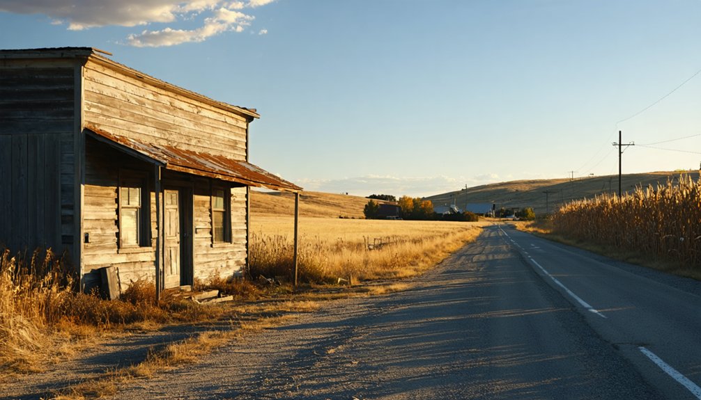
Since Beaver itself offers more history than scenery, you’ll want to build your route around the stronger stops nearby. Southeast Minnesota rewards curious travelers who move through its valleys with intention.
- Whitewater State Park – Hike the bluffs, read the landscape, and see the valley that shaped Beaver’s rise and fall.
- Elba – A small community where cultural heritage still connects to the farming patterns that once defined this region.
- St. Charles – The largest nearby town, showing how urban development absorbed the population that smaller places like Beaver couldn’t hold.
MN 74 ties these stops together naturally. Drive it slowly, stop when something catches your eye, and let the landscape tell the full story of what this corner of Minnesota used to be.
Building a Full Whitewater Valley Day Trip Around Beaver
A full day in the Whitewater Valley earns its mileage if you plan the stops with purpose. Start early at Whitewater State Park, where the river trail grounds you in the landscape before you head toward the Beaver townsite along MN 74. Standing where a settlement once existed since 1854 puts urban development and its absence into sharp relief.
You’re looking at land that farming communities built and environmental damage quietly erased. From there, drive through Elba and Altura, towns that survived where Beaver didn’t. Cultural preservation shapes how these smaller communities hold onto their identity.
End your loop near Plainview or St. Charles for a meal and context. The valley tells a layered story, and driving it deliberately lets you read every chapter.
Frequently Asked Questions
Is There Any Parking Available Near the Beaver Townsite?
The knowledge doesn’t confirm specific parking options or accessibility features near the Beaver townsite. You’ll want to check with Whitewater State Park nearby, as they likely offer your best access point for exploring this historic area.
Are Pets Allowed at the Whitewater Valley Nature Reserve Area?
Who doesn’t love exploring with their furry companion? Pet-friendly policies vary, so check with local authorities before visiting. Keep wildlife encounters in mind — you’ll want to protect both your pet and the area’s natural habitat.
Was Beaver, Minnesota Ever Officially Incorporated as a Town?
Based on available historical origins, Beaver never achieved official incorporation status — it remained an unincorporated community from its 1854 settlement. You’re exploring a place that lived and died without ever gaining formal municipal recognition.
Can You Camp Overnight Anywhere Near the Beaver Ghost Town?
Whitewater State Park, just miles away, hosts over 100 campsites! You’ll find great camping options there. Follow camping regulations carefully, stay alert for wildlife encounters, and you’re set for an unforgettable night near Beaver’s ghostly grounds.
Are There Any Guided Tours Covering Beaver’s Ghost Town History?
You won’t find formal guided exploration or historical artifacts tours at Beaver’s ghost town site, but Whitewater State Park’s naturalist programs occasionally cover the valley’s fascinating history, letting you roam freely while uncovering the area’s storied past.
References
- https://www.youtube.com/watch?v=Naciyj05E1Y
- https://www.carvercountyhistoricalsociety.org/ghost_towns.php
- https://www.reddit.com/r/minnesota/comments/vj2aso/minnesotas_most_famous_ghost_town_nininger/
- https://freshwater.org/2020/02/12/a-minnesota-ghost-story/
- https://www.treasurenet.com/threads/ghost-town-of-beaver-minnesota.326391/
- https://en.wikipedia-on-ipfs.org/wiki/List_of_ghost_towns_in_Minnesota
- https://www.youtube.com/watch?v=O5o19MoARvo
- https://www.youtube.com/watch?v=eL5m_G7cyO4