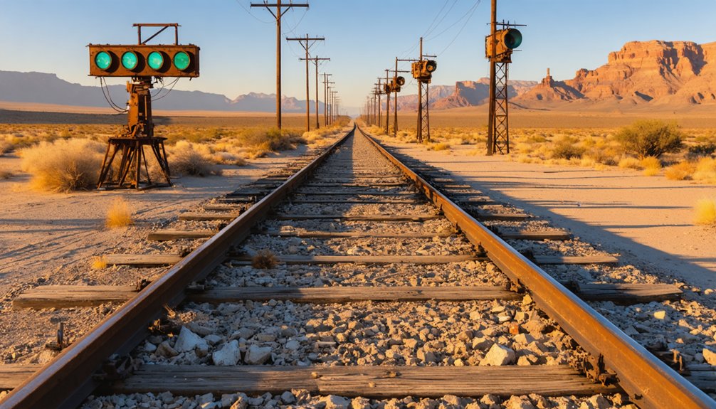
Charleston, Arizona isn’t your typical road trip destination — you can’t drive there at all. You’ll reach this crumbling ghost town on foot, hiking roughly nine miles southwest of Tombstone through the San Pedro Riparian National Conservation Area. Expect dense brush, uneven terrain, and zero signage once you arrive. What’s left are weathered adobe walls and faint foundations, all shaped by a devastating 1887 earthquake. Pack water, sturdy boots, and a GPS — there’s far more to this story ahead.
Key Takeaways
- Charleston Ghost Town sits nine miles southwest of Tombstone within San Pedro Riparian National Conservation Area, accessible only on foot via the San Pedro River.
- No established trail exists, so bring GPS or maps, sturdy boots, and ample water to navigate dense brush and uneven terrain.
- The site features crumbled adobe walls and eroded foundations with no signage, offering a raw, unpreserved ghost town experience.
- Pair Charleston with nearby Millville, located directly across the San Pedro River, for a complete picture of the silver boom era.
- Visit in spring or fall to avoid extreme weather, and use Tombstone as your base for amenities and trip planning.
How to Reach Charleston Ghost Town on Foot
Because Charleston isn’t accessible by car, you’ll need to lace up your hiking boots and navigate on foot along the San Pedro River to reach the site. The townsite sits roughly nine miles southwest of Tombstone, managed within the San Pedro Riparian National Conservation Area.
There’s no established trail leading you in, so expect dense brush, uneven terrain, and seasonal conditions that can shift quickly. The river environment shapes everything here, from the geological features carved into the surrounding landscape to the erosion steadily reclaiming what little remains of the town.
Navigation demands real attention since signage is fundamentally nonexistent. Pack water, wear sturdy footwear, and bring a reliable map. The reward is direct, unfiltered access to historical artifacts and ruins that few travelers ever bother to seek out.
What’s Left to See at the Charleston Townsite
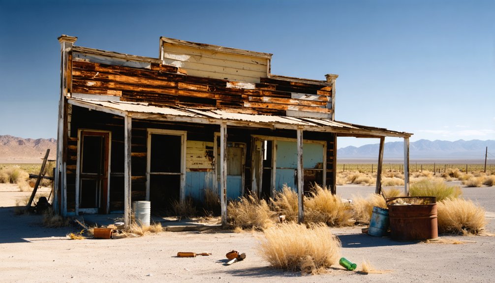
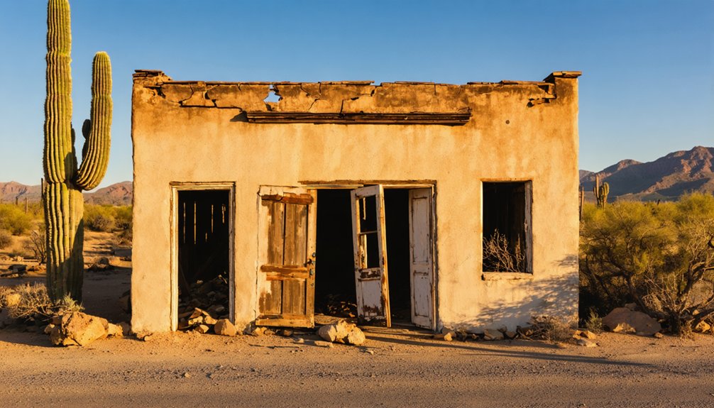
What remains at Charleston is modest, and that’s putting it generously. Adobe walls have crumbled into mounds, and rainy-season erosion keeps chipping away at what little survives. You won’t find labeled historical artifacts or interpretive signs guiding you through a preserved site. Instead, you’ll navigate brush-covered ground where foundations barely rise above the soil.
The landscape itself tells the story. The 1887 Sonoran earthquake shattered the town’s structures, soldiers later used the ruins for combat training, and scavengers hauled off usable materials long before preservation was a concern. Even the cemetery has vanished.
Yet standing there connects you to something real — a raw slice of Native history, silver-boom ambition, and frontier collapse. Charleston doesn’t perform for visitors. It simply endures, quietly and on its own terms.
The Silver Boom That Built and Abandoned Charleston
Charleston didn’t grow out of any grand vision — it grew out of a water problem. Tombstone’s silver mines were booming, but the town lacked enough water to process the ore. So workers built Charleston on the San Pedro River, where the mills could run.
At its peak, around 400 people called it home, and the mining history here ran deep — every swing of a pickaxe in Tombstone sent ripples straight to Charleston’s mills.
Then everything unraveled fast. The earthquake impact of May 1887, a massive 7.6-magnitude event, shattered Charleston’s adobe buildings. The mines flooded the following year, killing what little economic life remained.
Pair Charleston With Millville and Tombstone
If you’re making the trip out to Charleston, it makes sense to loop in Millville and Tombstone while you’re at it. Millville sits directly across the San Pedro River from Charleston and once housed the mills that processed Tombstone’s silver ore.
Together, the three sites tell a complete story of Arizona’s silver boom era.
Tombstone offers paved roads, restaurants, and historic attractions, making it a solid base before you head into the backcountry. From there, you hike out to Charleston and Millville along the river, where local wildlife like herons and deer are common sights.
Plan around seasonal weather, since summer monsoons make the terrain muddier and harder to navigate. Visiting in spring or fall gives you the clearest conditions and the most rewarding experience.
What the Hike Into Charleston Actually Demands
Once you’ve mapped out your route through Tombstone and Millville, the hike into Charleston itself deserves serious attention. No road reaches the townsite, so you’re committing to a trail-free walk along the San Pedro River.
Charleston has no road access — reaching the townsite means a trail-free walk along the San Pedro River.
Dense local flora — mesquite, cottonwood, and thick riverside brush — obscures the path and the ruins themselves.
Wear sturdy boots, carry more water than you think you’ll need, and bring a reliable GPS or detailed map. The unmarked terrain makes disorientation easy.
Watch your footing on uneven ground, especially near the riverbank.
Wildlife sightings are common in this riparian corridor — deer, javelinas, and various bird species share the landscape. Stay aware of your surroundings.
Seasonal flooding and erosion also shift conditions, so check weather before you head out.
Frequently Asked Questions
Is Charleston, Arizona Part of a Protected Conservation Area?
Yes, you’ll find Charleston managed within the San Pedro Riparian National Conservation Area, where wildlife preservation thrives and scenic viewpoints reward your adventurous spirit as you explore this hauntingly beautiful, protected desert landscape along the river.
What Earthquake Damaged Charleston, and How Severe Was It?
Can you imagine surviving a 7.6 magnitude quake? The 1887 Sonoran earthquake’s seismic activity devastated Charleston, and its earthquake impact crumbled the town’s adobe structures into ruins, accelerating the already-struggling settlement’s rapid abandonment.
Were Charleston’s Ruins Used for Military Training Purposes?
During World War II, you’ll find that Fort Huachuca’s soldiers actively used Charleston’s crumbling adobe ruins for military history-shaping urban combat training exercises, further eroding the fragile remains of this once-thriving silver boom settlement.
When Exactly Did the Charleston Post Office Permanently Close?
After just 10 years of existence, you’ll find Charleston’s post office permanently closed on October 24, 1888 — a sobering milestone in historical preservation that local legends say marked the town’s true death knell.
What Happened to the Charleston Cemetery Over the Years?
You’ll find Charleston’s cemetery has vanished entirely — it’s gone and forgotten. Time, erosion, and neglect erased every trace, leaving no haunted legends or ghostly apparitions to chase. Nature simply reclaimed what the living once consecrated.
References
- https://en.wikipedia.org/wiki/Charleston
- https://southernarizonaguide.com/a-hike-to-the-ghost-town-of-charleston-arizona-territory/
- https://www.youtube.com/watch?v=l_ogVgvyw7Y
- https://www.archaeologysouthwest.org/explore/charleston-and-millville-sites/
- https://www.van-tramp.com/wp/charleston-az-ghost-town/
- https://www.youtube.com/watch?v=MwMrcHienYo
- https://www.youtube.com/watch?v=ltlcu19LpB8
- https://www.youtube.com/watch?v=uHIgtb2SqIA
- https://www.destination4x4.com/charleston-arizona-cochise-couty-ghost-town/
- https://www.youtube.com/watch?v=51BsIu1NvXw