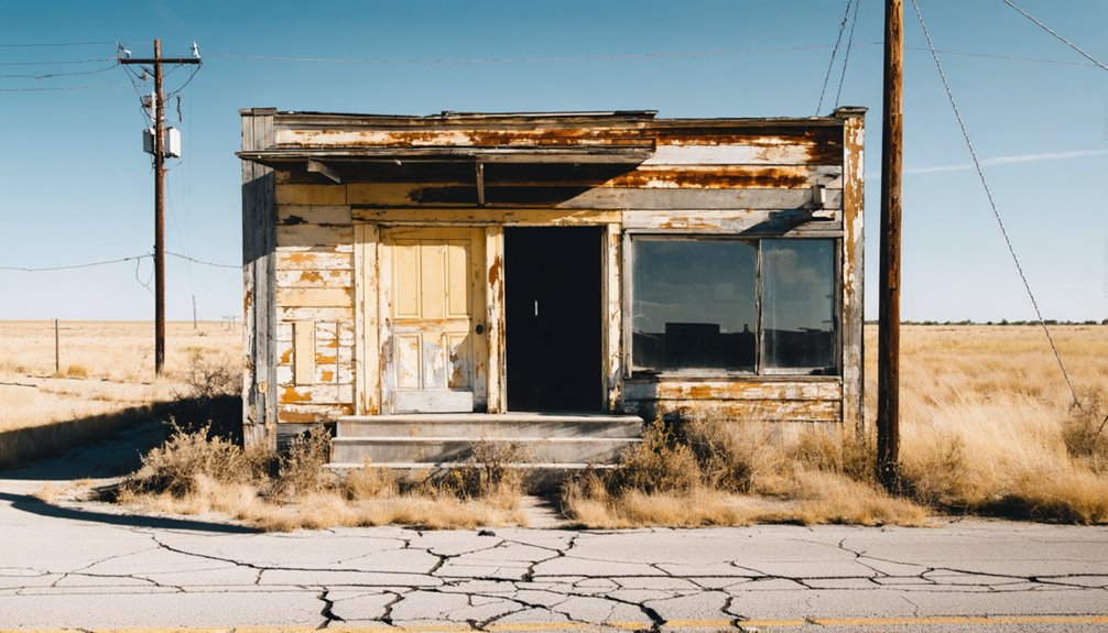
Birchville, Texas isn’t your typical ghost town—there’s nothing left to see. The Rio Grande swallowed this frontier stagecoach settlement whole in 1867, dissolving its adobe walls and burying its history under floodplain silt. Once an essential stop on the Butterfield Overland Mail route, it vanished without a trace near modern Highway 20 in Hudspeth County. If you’re planning the drive, there’s far more to this erased settlement’s story than you’d expect.
Key Takeaways
- Birchville, near Highway 20 about two miles south of the El Paso–Hudspeth County line, has no physical remains or markers to visit.
- The 1867 Rio Grande flood destroyed all structures, burying the site under sediment and floodplain silt permanently.
- Visit during fall or spring mornings for ideal lighting and comfortable temperatures; avoid summer midday heat exceeding 100°F.
- Pack printed maps, GPS, extra water, sun protection, sturdy boots, and a portable charger for this remote desert journey.
- Research historical records at Hudspeth County offices or the Texas General Land Office before visiting to enrich your exploration.
What Was Birchville, Texas?
Tucked along the San Antonio-El Paso Road in what’s now Hudspeth County, Texas, Birchville was a small frontier settlement that punched well above its weight in historical significance. You’d also find it referenced on historical maps as Smith Ranch or Smith Ranch Station, reflecting its dual identity as both a homestead and a crucial travel stop.
From 1857 onward, it served the San Antonio-San Diego Mail Line and later the legendary Butterfield Overland Mail route. It kept travelers and mail moving through the unforgiving Chihuahuan Desert corridor until flood impact from the Rio Grande erased it entirely in 1867. The settlement never recovered.
What once kept West Texas connected to the wider frontier world vanished beneath floodwaters, leaving behind only a compelling story worth chasing.
Birchville’s Role on the Butterfield Overland Mail Route
When the Butterfield Overland Mail launched its storied southern route in 1858, Birchville earned a place on one of the most ambitious transportation projects in American history. Known also as Smith Ranch Station, it served westbound coaches pushing through the brutal Chihuahuan Desert toward El Paso.
Birchville claimed its place in history when the Butterfield Overland Mail blazed its legendary southern route in 1858.
From 1858 to 1861, drivers, passengers, and mail bags passed through this remote stop regularly.
You’ll find that historical preservation efforts struggle here because no confirmed land survey has ever pinpointed the exact site. The Rio Grande likely swallowed the physical evidence long ago.
Still, understanding Birchville’s role on the Butterfield route enriches your road trip with real context. You’re not just driving through empty desert — you’re tracing a corridor that once connected a young nation across its wildest frontier.
How the 1867 Rio Grande Flood Erased Birchville
The Rio Grande ended Birchville swiftly and permanently in 1867. Historical weather patterns in the Chihuahuan Desert corridor made riverside settlements vulnerable, and when the river surged, it swallowed everything. Land erosion finished what floodwaters started, burying the site under shifting sediment.
Picture what disappeared that year:
- Adobe walls dissolving into brown floodwater
- Mail pouches and stagecoach records lost beneath the current
- Wagon ruts along the San Antonio-El Paso Road swallowed by mud
- A frontier outpost reduced to unmarked, saturated ground
- Decades of overland history erased in a single season
Birchville never rebuilt. You won’t find standing structures or a preserved town square waiting for you. What you’ll find is open West Texas land holding a story most travelers never know existed.
How Birchville Fits the Hudspeth County Ghost Town Loop
When you map out a Hudspeth County ghost town loop, Birchville earns a natural place along Texas State Highway 20, where the old San Antonio-El Paso Road once pushed through the Chihuahuan Desert.
You’ll find that pairing Birchville’s approximate site with other vanished settlements in the region turns a single stop into a connected story about frontier survival and collapse.
Plotting the route ahead of time helps you make sense of how these ghost towns cluster along the same historic travel corridor that stagecoaches and mail riders once depended on.
Mapping the Ghost Town Loop
Hudspeth County rewards ghost town hunters with an expansive desert loop that stitches together several forgotten settlements along the old San Antonio-El Paso Road. Birchville sits at the heart of that historic corridor. You’ll trace crumbling wagon paths where stagecoaches once thundered, connecting scattered sites rich with historical artifacts and faded settlement architecture.
- Vast Chihuahuan Desert stretching endlessly under wide Texas skies
- Weathered rock formations marking where frontier stations once stood
- Dry riverbeds whispering the Rio Grande’s destructive 1867 surge
- Dusty caliche roads cutting through mesquite toward vanished communities
- Silence broken only by wind sweeping across open rangeland
This loop gives you genuine freedom to explore West Texas on your own terms, piecing together a raw, unfiltered frontier story mile by mile.
Birchville’s Place Along the Route
Birchville earns its spot on your ghost town loop not just as a name on a historical list but as a working piece of a much larger frontier machine. The San Antonio-El Paso Road ran directly through here, connecting mail lines, stagecoach routes, and desert travelers pushing westward.
When you roll through Hudspeth County on Highway 20, you’re tracing the same corridor that Butterfield Overland Mail coaches once traveled. Historical preservation efforts keep Birchville’s story alive even though the 1867 Rio Grande flood erased the physical site.
Don’t expect standing structures—archaeological evidence of the original settlement remains unconfirmed. What you’ll find is context.
Birchville anchors your loop with a raw, unfiltered chapter of West Texas history that no restored downtown could replicate.
What Sits Near the Old Birchville Site
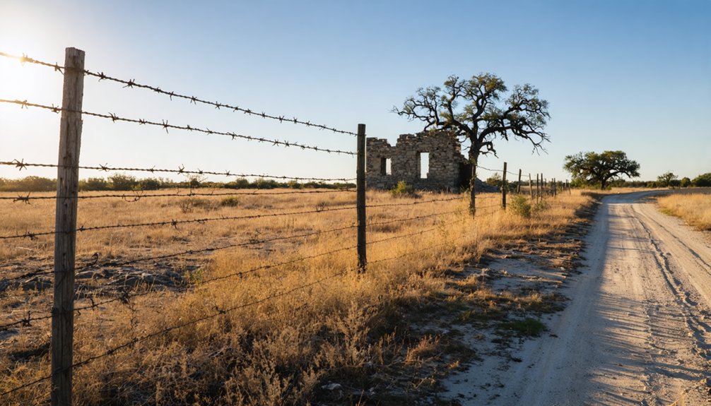
You’ll find Texas State Highway 20 running close to where Birchville once stood, giving you a practical anchor point for orienting yourself in this stretch of Hudspeth County.
The Rio Grande corridor runs nearby, and its banks tell part of the story, since the same river that sustained frontier travelers ultimately erased the settlement in the 1867 flood.
As you scan the surrounding terrain, you’ll also notice the quiet Hudspeth County landscape dotted with landmarks that connect the region’s ranching and overland travel past.
Nearby Texas State Highway
Where exactly does this vanished settlement fall on the modern map? Your closest modern reference point is Texas State Highway 20, running through Hudspeth County near the Rio Grande. No historical architecture marks the spot, and local legends replace what signage can’t confirm.
Picture yourself driving Highway 20 and imagining:
- Flat Chihuahuan Desert stretching endlessly toward distant mountain ridges
- The Rio Grande snaking quietly beyond low-cut scrubland
- Dust lifting off caliche roads branching from the highway shoulder
- Open sky pressing down on terrain unchanged since stagecoach wheels cut through it
- Silence broken only by wind moving across sparse desert grasses
You’re essentially tracing ghost lines here. Highway 20 gives you proximity, but Birchville itself remains swallowed beneath floodplain soil, leaving only landscape and imagination as your guides.
Rio Grande Corridor Access
Though Birchville itself vanished beneath Rio Grande floodwaters in 1867, the surrounding corridor still gives you tangible geography to explore. The river that erased this settlement still cuts through the same desert landscape, and you can trace its path along the old San Antonio-El Paso Road route nearby.
Ghost town tourism here isn’t about visiting a preserved downtown — it’s about reading the land itself. You’re standing where stagecoaches once crossed through the Chihuahuan Desert, connecting mail lines between two distant cities.
Historical preservation in this corridor exists through context rather than monuments. The Rio Grande’s banks, the distant Franklin Mountains, and the open desert floor tell Birchville’s story more honestly than any reconstructed building ever could.
Bring water, respect the terrain, and let the landscape speak.
Hudspeth County Landmarks
Since Birchville itself left no standing ruins, the landmarks nearest the old site become your best navigational anchors for the trip. Use these regional touchstones to frame your exploration and spark your imagination about local folklore tied to this vanished stage stop.
- Hudspeth County Courthouse in Sierra Blanca, showcasing historical architecture from the early 20th century
- Texas State Highway 20, tracing the approximate path of the old San Antonio-El Paso Road
- The Rio Grande riverbanks, shaped by the same floods that erased Birchville in 1867
- Fort Quitman ruins, a nearby frontier military post with deep stagecoach-era connections
- Open Chihuahuan Desert terrain, visually communicating the brutal isolation that defined life along this mail corridor
These landmarks ground your visit where history dissolved into landscape.
How to Find the Birchville Site Today
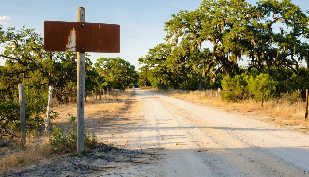
Finding Birchville isn’t like pulling up a pin on Google Maps and hitting the road. The 1867 Rio Grande flood erased the settlement, and no confirmed marker or preserved site exists today. You’re fundamentally chasing a ghost that left almost no physical trace.
Your best approach starts with historical documents and land survey records held at Hudspeth County offices or the Texas General Land Office archives. These sources can help you narrow the search to the area near present-day Texas State Highway 20, roughly two miles south of the El Paso–Hudspeth County line.
Once you’re in the area, treat the drive itself as the destination. The landscape still follows the old San Antonio-El Paso Road corridor, and that connection alone makes the journey worth taking.
Best Time to Drive the Old Birchville Stretch of Highway 20
When you drive the old Birchville stretch of Highway 20 matters more than you’d expect in West Texas. Timing shapes everything you’ll see and feel out here, where the landscape carries real historical significance.
- Fall and spring mornings bathe the desert in golden light, sharpening every abandoned structure and crumbling fence line.
- Summer midday heat pushes past 100°F, turning a scenic drive into an endurance test.
- Winter afternoons deliver crisp air and long shadows that deepen the mood of empty land.
- Early weekday drives keep traffic thin, letting you slow down without pressure.
- Storm season in late summer can flood low-lying Rio Grande areas, echoing the 1867 flood that erased Birchville itself.
Aim for October or April. You’ll own the road.
What to Pack When You’re Chasing an Unlocated Ghost Town
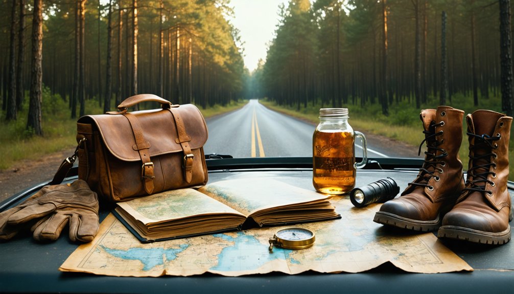
Chasing an unlocated ghost town like Birchville means you’re packing for uncertainty, not a marked trailhead with a parking lot. There’s no modern preservation effort here, no tourism development infrastructure pointing you toward a welcome sign.
You’re orienteering open desert terrain near Highway 20, so bring printed historical maps alongside your phone’s GPS. Pack extra water for at least one full day, sun protection, and sturdy boots for uneven ground.
A notebook helps you log observations where digital signals drop. Carry a portable charger, because remote West Texas drains batteries fast.
Binoculars let you scan wide stretches without wandering onto private land. Most importantly, bring realistic expectations — Birchville likely sits buried under Rio Grande silt, and the freedom of that search is exactly the point.
Frequently Asked Questions
Was Birchville Ever Officially Incorporated as a Texas Town?
Birchville never gained official incorporation. You’ll find no historical land disputes tied to formal township status — it vanished after 1867’s flood before ghost town preservation efforts could even acknowledge its brief, rugged frontier existence.
Are There Any Photographs or Drawings of Birchville That Survived?
You won’t find any surviving historical photographs or artistic drawings of Birchville. The 1867 Rio Grande flood erased the settlement so completely that it left behind no confirmed visual records for you to discover.
Did the Rio Grande Flood of 1867 Destroy Other Nearby Settlements Too?
The 1867 Rio Grande flood didn’t just erase Birchville—it reshaped the region’s entire settlement history. You’ll find that flood damage likely swallowed other vulnerable outposts along this wild, untamed corridor of West Texas frontier life.
Who Was Birchville Named After Originally?
The knowledge doesn’t reveal who Birchville’s name originated from, but you’ll find its ghost town history fascinating! As you explore historical landmarks of West Texas, it’s also commonly known as Smith Ranch Station.
Is the Old Birchville Land Privately Owned Today?
The ownership details aren’t confirmed, but you’ll likely find the land privately held or absorbed into agricultural use. Don’t expect abandoned structures or local legends to guide you — floods erased Birchville’s footprint entirely.
References
- https://en.wikipedia.org/wiki/Birchville
- https://www.texasescapes.com/Texas-Ghost-Towns-A-to-Z.htm
- https://authentictexas.com/texas-ghost-towns/
- https://en.wikipedia.org/wiki/List_of_ghost_towns_in_Texas
- https://en.wikipedia.org/wiki/Birchville_(disambiguation)
- https://www.texasescapes.com/TOWNS/Texas_ghost_towns.htm
- https://www.burningcompass.com/countries/united-states/states/texas/texas-ghost-towns-map.html
- https://www.ghosttowns.com/states/tx/tx.html



