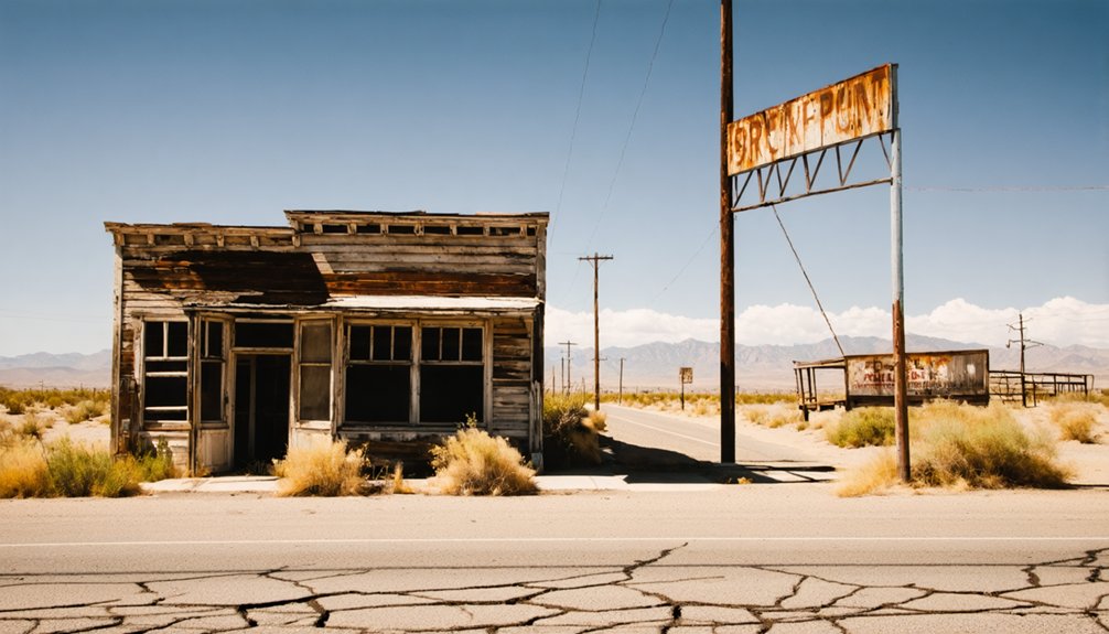
Planning a ghost town road trip to Cherokee, California means heading 13 miles north of Oroville on State Highway 70, then winding up SR 191 to a quiet plateau where gold fever once ruled. Bring cash, a camera, and comfortable shoes—there’s no gas or lodging up here. Spring and fall offer the clearest skies for exploring weathered ruins, old cemeteries, and forgotten vaults. Stick around, and Cherokee’s full story gets even richer.
Key Takeaways
- Cherokee, California, sits 13 miles north of Oroville atop Table Mountain, accessible via State Highway 70 then SR 191.
- Book accommodations and stock up on fuel and supplies in Oroville, as Cherokee offers no services, lodging, or gas.
- Visit in spring or fall for the best weather and clear skies when exploring ruins and historic sites.
- Key landmarks include the 1868 Schoolhouse, Hayes House, Pioneer Cemetery, and Cherokee Mining Company Vault.
- Nearby ghost towns Shasta, Malakoff, and Empire can be combined into a rewarding long weekend mining history loop.
Why Cherokee, California Is One of the Gold Rush’s Most Overlooked Ghost Towns
While Bodie and Calico draw crowds of tourists each year, Cherokee sits quietly atop Table Mountain in Butte County, largely forgotten by the outside world. Yet this ghost town earned its place in history long before those famous names did.
Founded around 1853, Cherokee once housed thousands of residents and operated what many called the world’s greatest hydraulic gold mine, spanning 26,000 acres with 100 miles of sluice.
You won’t find tour buses here. Instead, you’ll walk freely among abandoned structures, absorbing local legends tied to Cherokee prospectors, diamond discoveries, and a presidential visit in 1880.
That sense of unfiltered discovery is exactly what makes Cherokee worth seeking out. It rewards the curious traveler who’d rather explore than stand in line.
How to Get to Cherokee, California
Cherokee sits about 13 miles north of Oroville atop Table Mountain, and getting there means leaving the main arteries behind. You’ll pick up State Highway 70 out of Oroville, then cut onto SR 191 — a rural two-lane that narrows your world down to oak-studded ridgelines and open sky.
There’s no GPS shortcut that captures what this drive actually feels like. The road unspools like a road-trip scene from vintage photographs, unhurried and honest.
No app translates this road into feeling. It simply unwinds — patient, unhurried, honest in every curve.
Locals who carry Cherokee‘s local legends in their memory will tell you the isolation is part of the point.
Plan for no services once you arrive. Fill your tank, pack your water, and leave Oroville with everything you need.
Cherokee rewards the prepared traveler — not the spontaneous one.
From Gold Discovery to Boom Town: Cherokee’s Rush-Era Origins
When you visit Cherokee, you’re stepping onto ground where gold was first discovered in 1850, igniting a rush that transformed a remote California plateau into a thriving settlement.
By 1853, the town had taken shape, and by 1875 it boasted over 1,000 residents drawn by the promise of hydraulic mining on a massive scale.
You can almost feel the ambition that once drove thousands to carve out a boom town atop Table Mountain, far from the comforts of civilization.
Cherokee’s 1850 Gold Discovery
Though the California hills were already drawing dreamers from across the world, it was 1850 when gold seekers first struck pay dirt in the Cherokee diggings, setting off a rush that would transform a remote Butte County ridgeline into one of the Gold Rush era‘s most storied boom towns.
Four reasons this discovery still captivates freedom-seeking road trippers:
- Cherokee prospectors, including Cherokee Indians, made the original find
- Over 300 diamonds — rare for American soil — turned up in the diggings
- Local cuisine traditions and wildlife viewing shaped settler life on the ridge
- By 1853, a full community had taken root atop Table Mountain
You’re visiting ground where history literally glitters beneath your feet.
Rise Of Boom Town
What started as scattered gold strikes in 1850 quickly pulled fortune hunters, merchants, and settlers up onto Butte County’s Table Mountain ridgeline, where a rough-edged community called Cherokee took shape around 1853. You’d have found saloons, supply stores, and determined dreamers carving out lives far from eastern convention.
By 1875, over 1,000 residents called Cherokee home, drawn by hydraulic mining operations stretching across 26,000 acres with 100 miles of sluice cutting through the earth. Urban legends grew alongside the diggings — whispered stories of diamonds hidden in the gravel, of overnight fortunes, of men who vanished chasing rumors.
Unlike modern developments that prioritize convenience, Cherokee’s boom was raw, unfiltered ambition etched into Table Mountain’s volcanic rock, building a community that burned bright before fading into history.
The Hydraulic Mine That Produced Diamonds and Reshaped a Hillside
Cherokee’s hydraulic mine wasn’t just big — it was the greatest of its kind in the world, carving 26,000 acres of California hillside into something almost unrecognizable. Local legends still echo through those reshaped ridges, and mining innovations here rewrote how the world extracted gold.
Here’s what made it extraordinary:
- 100 miles of sluice channeled water across the entire operation
- Over 300 diamonds were recovered from the diggings, mostly industrial grade
- One diamond reached 6 carats, making it among America’s earliest significant finds
- Rising operational costs forced a selloff by the 1890s, ending the boom
You’re walking ground that swallowed fortunes and quietly gave back something rarer than gold — diamonds hidden inside a working mine.
What’s Left to See in Cherokee Today?
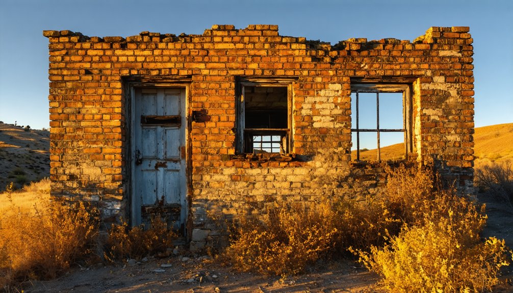
When you walk through Cherokee today, you’ll find the past holding its ground in skeletal buildings, the preserved Hayes House, and an old hotel turned museum that still carries the weight of a boomtown’s ambition.
Don’t skip the pioneer cemetery, where weathered headstones quietly document the lives behind the gold rush.
You can also trace the outlines of the Cherokee Mining Company’s stone wall ruins and vault, physical proof of the industrial scale that once reshaped this hilltop.
Standing Historic Structures
Though much of Cherokee has faded into the earth, you’ll still find enough standing structures to piece together the town’s storied past. Preservation efforts have kept several landmarks intact, and local legends breathe life into every weathered wall.
Don’t miss these four survivors:
- Hayes House – where President Rutherford B. Hayes himself once walked the floors in 1880.
- 1868 Schoolhouse – a rare, tangible link to Cherokee’s family life during its booming years.
- Old Hotel Museum – now a keeper of artifacts, photographs, and mining-era memory.
- Cherokee Mining Company Vault and Stone Ruins – the skeletal remains of an operation that once moved mountains with water.
Each structure stands as an open doorway into a world worth remembering.
Pioneer Cemetery Visit
Among Cherokee’s quieter corners, the pioneer cemetery stands as one of the most affecting stops you’ll make on this road trip. It’s remarkably well-kept, offering a rare sense of grave preservation that many Gold Rush-era sites simply can’t match.
Walking its grounds, you’ll feel the weight of cemetery symbolism settle around you — weathered headstones marking lives built on ambition, risk, and distance from home. These weren’t tourists passing through; they stayed, worked, and died here.
Names carved in stone connect you directly to the 1,000-plus residents who once filled Cherokee’s streets with purpose. Take your time here. There’s no admission, no crowd, and no rush — just open sky, old markers, and the honest freedom of standing where history hasn’t been polished into performance.
Mining Ruins And Vault
Beyond the cemetery’s quiet rows, Cherokee’s mining ruins pull you into a different kind of reckoning. Hydraulic operations once reshaped 26,000 acres here, and the landscape still carries those scars.
Look for these surviving remnants:
- Stone wall ruins from the Cherokee Mining Company office
- The vault — vault preservation kept this iron-doored strongbox intact through abandonment
- Sluice channel traces cutting across the hillside terrain
- Scattered mining equipment fragments embedded in eroded embankments
You’re walking ground where over 300 diamonds surfaced alongside gold. The vault once locked away the profits of an empire. Nobody’s rushing you here — no crowds, no entry fees, just open land and honest history.
That’s exactly the kind of freedom a road trip through California’s mining past delivers.
How to Plan Your Visit to Cherokee: Roads, Timing, and What to Bring
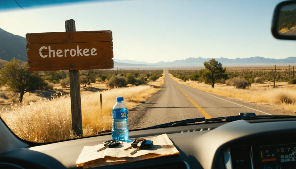
Before you load up the car and head for Cherokee, it’s worth knowing that getting there takes a little intention. Take State Highway 70 north from Oroville, then follow SR 191 up onto Table Mountain. The roads are manageable but rural, so check conditions before you go.
Cherokee has no services, no gas, and no accommodations, so pack water, snacks, and a full tank.
Visitor tips worth remembering: arrive with cash, a camera, and comfortable walking shoes for the cemetery and ruins.
Timing is flexible since the climate stays mild, but spring and fall offer the clearest skies.
Respect local customs if you encounter residents, as this is a semi-inhabited town with living history still quietly unfolding around every weathered wall.
Where to Stay Near Cherokee, California
Since Cherokee offers no lodging of its own, you’ll need to anchor your overnight stay in Oroville, roughly 13 miles south and the closest town with real amenities. Local accommodations there range from budget-friendly motels to riverside hotels that echo the region’s rugged Gold Rush character.
Before heading up Table Mountain, stock up and settle in.
Here’s how to frame your base camp:
- Book local accommodations in Oroville the night before your visit.
- Fill your tank and cooler — Cherokee has no services.
- Explore nearby dining along Oroville’s historic downtown corridor.
- Plan your drive up SR 70 for morning light on the ruins.
Oroville won’t glamorize your stay, but it’ll ground you before Cherokee pulls you back into 1853.
Northern California Ghost Towns Worth Pairing With Cherokee
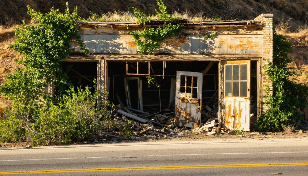
Each stop layers a different chapter onto California’s mining story. Shasta whispers of supply-road ambition.
Malakoff echoes Cherokee’s own hydraulic past.
Empire reveals industrial scale few prospectors ever imagined.
String these destinations together on a long weekend loop, and you’ll carry home something richer than photographs — you’ll carry the full arc of a vanished world.
Frequently Asked Questions
Is Cherokee, California Open to Visitors Year-Round Without Special Permits?
You can visit Cherokee’s ghost town history anytime without special permits. No visitor access regulations restrict your freedom to explore its haunting ruins, pioneer cemetery, and weathered remnants of California’s golden past year-round.
Are There Guided Tours Available at Cherokee’s Historical Museum?
The knowledge doesn’t confirm guided tours, but you’ll find the historical museum’s exhibits waiting as you wander freely through this ghost town exploration. Lose yourself in Cherokee’s nostalgic, gold-dusted past on your own unhurried terms.
Was Cherokee Ever Considered for California Historical Landmark Designation?
Coincidentally, Cherokee’s rich historical significance makes it a natural candidate for landmark status. While specific designation details aren’t confirmed, you’ll discover its Gold Rush legacy, diamond finds, and hydraulic mining heritage speak volumes about its enduring, landmark-worthy past.
Did the Hydraulic Mining Operations Cause Lasting Environmental Damage Nearby?
Yes, you’ll see the mining aftermath firsthand — hydraulic operations scarred the land deeply, leaving environmental impact that reshaped valleys and silted rivers for generations. Those 26,000 ravaged acres still whisper stories of unchecked ambition and nature’s resilience.
Are Hayes Day and the Fourth of July Festival Still Celebrated Annually?
The knowledge doesn’t confirm if these festivals still run, but Cherokee’s Hayes Day and Fourth of July live like embers — you’ll find historical reenactments and local cuisine breathing life into memories that refuse to fade.
References
- https://www.instagram.com/reel/DUlVT0TDx0w/
- https://www.visitcalifornia.com/now/california-ghost-towns-road-trip/
- https://www.youtube.com/watch?v=FEiWdlOSoiw
- https://www.saltycanary.com/ultimate-guide-to-visiting-calico-ghost-town/
- https://www.ghosttowns.com/states/ca/cherokee.html
- https://www.atlasobscura.com/places/cherokee
- https://www.visitcalifornia.com/road-trips/ghost-towns/
- https://www.youtube.com/watch?v=K1yaYeuwsP8
- https://www.newsreview.com/chico/content/the-ghosts-of-cherokee/10675111/



