Planning a road trip to Columbia, Kansas means chasing one of the state’s earliest ghost towns—a settlement that vanished before 1857 even ended. You’ll navigate rutted county roads, use Road M as your guide, and locate the old Columbia Bridge crossing over the Cottonwood River. No signs or structures greet you, just open prairie and a quiet tree line marking a forgotten river channel. Stick around, and you’ll uncover everything you need to find it.
Key Takeaways
- Columbia, Kansas, one of Lyon County’s earliest towns, was abandoned around late summer 1857 when residents relocated to what became Emporia.
- The site sits near the former Columbia Bridge crossing over the Cottonwood River, identifiable by an open field and a northern tree line.
- No structures, foundations, or markers remain; the landscape, old river channel, and vegetation lines are your primary navigational guides.
- Use satellite imagery beforehand to identify the curved tree line, open field, and former bridge corridor marking the original river crossing.
- Bring offline maps, water, sturdy boots, and a camera; expect unpaved roads, no cell service, and no visitor amenities.
Columbia, Kansas: One of the State’s Earliest Ghost Towns
Before Emporia existed, Columbia was already putting down roots along the Cottonwood River as one of the county’s first towns. Its cultural significance runs deep — it served as an early ford crossing and a launch point for county settlement.
Before Emporia existed, Columbia took root — an early river crossing that launched an entire county’s story.
By late summer 1857, though, what remained had relocated to what you now know as Emporia, leaving the original site behind.
Today, preservation challenges make Columbia’s story hard to read on the landscape. No buildings survive. No markers guide you in.
What you’ll find instead is an open field just north of a tree line tracing an old, abandoned river channel. You’ll need maps, aerial imagery, and a bit of historical detective work to piece together what once stood there.
Where Columbia Stood Along the Cottonwood River
When you head out to find Columbia, you’re looking for a big, empty field just north of a tree line that traces an old, abandoned channel of the Cottonwood River.
The town grew up near one of the county’s earliest river fords, making the Cottonwood both its reason for existing and its most reliable landmark today.
You won’t find buildings or markers, but the river corridor itself still frames the ghost town‘s likely footprint.
Along The Cottonwood River
Tucked along the Cottonwood River, Columbia once served as one of the county’s first towns and one of its earliest river crossings. Today, urban decay has replaced what pioneers built, and land use has shifted entirely to open farmland. When you visit, let these truths sink in:
- Settlers chose this spot deliberately — river access meant survival and commerce.
- The ford here connected early travelers to opportunity beyond the water.
- By 1857, the town had vanished, absorbed into what became Emporia.
- You’re standing where Kansas history quietly began and quietly disappeared.
The Cottonwood River still runs nearby, indifferent to what’s been lost. That empty field north of the tree line? That’s Columbia — and it’s worth finding.
Near An Early Ford
Standing at the edge of an open field north of the old tree line, you’re at what was once Columbia’s most strategic asset — an early ford on the Cottonwood River. Early settlers chose this exact crossing point deliberately, building one of the county’s first towns around reliable river access.
That advantage didn’t last. By late summer 1857, town relocation had pulled Columbia’s remaining residents toward what’s now Emporia, leaving the ford behind. No historical artifacts mark the spot today — just open land, a ghost of an old river channel threading through nearby trees, and the quiet logic of geography.
You’re standing where the river shaped everything. The crossing drew settlers in, and when something better came along, it drew them right back out.
A Big Empty Field
What’s left of Columbia is exactly what you’d expect from a town that packed up and left in 1857 — a big, empty field. No markers, no foundations, no urban legends carved into stone. Just grass, open sky, and a line of trees tracing an abandoned river channel nearby.
Standing here, you’ll feel the weight of what’s gone:
- A pioneer community that simply vanished
- Streets that never made it onto lasting maps
- Voices replaced by wind cutting across open Kansas land
- History fighting preservation challenges nobody prioritized
You’re free to wander this space and reconstruct Columbia in your imagination. Satellite imagery and old maps guided researchers here, but your own curiosity is what makes the visit real. That empty field holds everything and nothing simultaneously.
Why Did Columbia Disappear by 1857?
Columbia didn’t vanish overnight — by late summer 1857, whatever remained of the town had picked up and relocated to what’s now Emporia. Early settlements like Columbia lived and died by river access. Once a better crossing or more strategic location emerged, population decline followed fast, and urban decay set in before anyone could stop it.
Columbia didn’t vanish overnight — by late summer 1857, whatever remained had picked up and relocated to what’s now Emporia.
Columbia’s original appeal was its ford on the Cottonwood River — a practical necessity for pioneers moving through Kansas. When that advantage faded, so did the town’s reason for existing.
Settlers followed opportunity, not loyalty to a place. You can understand that impulse standing in that empty field today. The land doesn’t lie.
Columbia gave people a foothold, and then people moved on, taking the town with them.
What the Columbia Ghost Town Site Looks Like Today
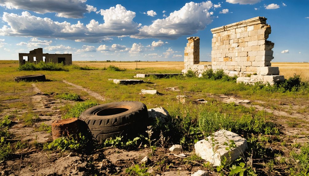
When you arrive at the likely site of Columbia today, you won’t find crumbling foundations or weathered signage — just a big, open field.
You can, however, spot a line of trees just south of that field, marking where an old, abandoned river channel once ran alongside this early settlement.
It’s a quiet, unassuming landscape, but if you’ve done your research with maps and aerial imagery, you’ll recognize it as ground where one of the county’s first towns once stood.
An Open Field Today
Where Columbia once stood, you’ll find nothing but open sky and a big, empty field. No urban legends haunt crumbling walls here — there are no walls left. Despite the absence of preservation efforts, the landscape still tells a story if you know how to read it.
Stand at the site and let these details sink in:
- A vast, silent field stretches where neighbors once gathered
- A line of trees marks the old, abandoned river channel nearby
- Road M leads you in, just as settlers once followed the Cottonwood River
- No markers, no monuments — only wind and open ground remain
You’re standing inside a vanished moment in Kansas history, and that emptiness is exactly what makes it powerful.
Old River Channel Traces
Just beyond that empty field, the land offers one more quiet clue — a broken line of trees curving through the landscape where an old river channel once ran. These ancient waterways don’t announce themselves loudly, but once you recognize the pattern, you can’t unsee it.
The trees follow the ghost of the Cottonwood River’s former path, filling in riverbed remnants that time has slowly swallowed. No sign marks it. No historical marker explains it. You’re simply reading the land itself, piecing together what settlers once depended on for crossing and commerce.
That old channel shaped where Columbia stood and why it mattered. Standing there, you’re not just looking at trees — you’re tracing the quiet logic of a town that water built and eventually left behind.
How to Reach the Site Using Road M and the Old Columbia Bridge
Finding the Columbia townsite takes a little orientation, but Road M serves as your main reference point for getting oriented in the area. Pair that with the former Columbia Bridge location, and you’ve got two solid anchors for pinpointing where this forgotten settlement once stood.
Follow these steps to reach the site:
- Travel Road M through rural Lyon County until the landscape opens wide.
- Locate the former Columbia Bridge crossing over the Cottonwood River.
- Look north toward the open field where local legends place the original townsite.
- Scan the tree line marking the old river channel for historical artifacts buried beneath the soil.
No signs guide you here. That’s exactly the point — you’re orienting on your own terms, chasing something history nearly erased.
The Only Physical Clues That Survive at the Columbia Townsite
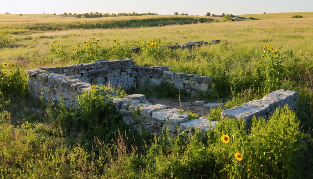
Once you step out of your vehicle at the Columbia townsite, the landscape itself becomes your only guide — and it doesn’t say much. You’ll find no markers, no foundations, no historic artifacts left behind. What greets you instead is a wide, open field stretching quietly under the Kansas sky.
Look toward the tree line to the north. Those trees trace an abandoned river channel, a subtle geographic fingerprint that explains early settlement patterns — why Columbia planted itself here, near a reliable Cottonwood River ford. That river access was everything to early settlers.
The old channel’s ghost, visible in the vegetation line, is genuinely your strongest physical clue. You’re reading the land rather than reading a sign, and that rawness is exactly what makes Columbia worth the drive.
How to Use Satellite Maps to Spot the Old Townsite
Before you ever set foot near Road M, pull up a satellite map and let the aerial view do the detective work for you. Forget urban legends—the real story hides in the landscape itself.
Look for these four markers:
- The distinct tree line curving north, tracing the abandoned Cottonwood River channel
- The open field sitting just above those trees, once Columbia’s beating heart
- The former Columbia Bridge corridor, orienting you along the original river crossing
- Subtle terrain shifts that hint at archaeological evidence beneath the grass
Zoom in slowly and compare modern imagery against historical county maps. The ghost town won’t announce itself, but the land remembers.
You’re reading a landscape, not visiting a museum—and that distinction makes all the difference.
Nearby Kansas Ghost Towns to Pair With a Columbia Visit
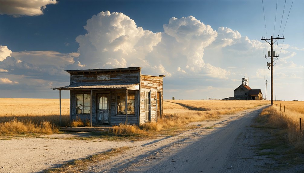
Columbia makes a strong anchor stop, but the Cottonwood River corridor and surrounding Lyon County back roads hold more forgotten settlements worth tracking down. Early settlement patterns in this region followed water, so you’ll find clusters of ghost towns tied to the same river systems and frontier-era ford crossings.
Research historical artifacts like old plat maps, county histories, and land survey records to pinpoint these lost communities before you hit the road. Daniel C. Fitzgerald’s *Ghost Towns of Kansas* series gives you a solid starting list.
Pair Columbia with other vanished Lyon County sites to build a full-day route that connects the dots between early Kansas pioneer life, river geography, and the economic forces that erased entire towns from the landscape.
What to Bring and Expect on a Kansas Ghost Town Back-Road Trip
Tracking down a Kansas ghost town like Columbia means trading pavement comfort for rutted county roads, open fields, and sites where the only evidence of a former town is a tree line or an old river channel. No visitor amenities exist here — just raw prairie history waiting for those willing to seek it.
Trading pavement for rutted roads and open fields, Columbia rewards only those willing to seek raw prairie history.
Pack smart and come prepared:
- Download offline maps — cell service disappears fast on rural county roads like Road M.
- Bring water and snacks — there’s nothing nearby once you leave town.
- Wear sturdy boots — uneven field terrain hides surprises.
- Carry a camera — historical artifacts rarely survive, so landscape details become your documentation.
Expect solitude, wide skies, and the quiet satisfaction of standing where Kansas pioneers once built something from nothing.
Frequently Asked Questions
Is the Columbia Ghost Town Site on Public or Private Land?
The knowledge doesn’t explicitly confirm private ownership or public land access for the Columbia site. You’ll want to research local land records before visiting, as land access rules can make or break your entire ghost town adventure.
Are There Any Local Guided Tours Available for the Columbia Site?
You won’t find formal guided tour options or historical preservation programs at Columbia’s ghost town site. You’re free to explore independently, using maps, aerial imagery, and back-road instincts to uncover this forgotten Kansas pioneer settlement yourself.
What Is the Best Time of Year to Visit Columbia, Kansas?
Spring or fall offer the gentlest skies for your adventure. You’ll find historical preservation efforts clearest and visitor accessibility easiest when mild temperatures let you freely roam Columbia’s open fields and trace its forgotten Cottonwood River story.
Are There Restrooms or Facilities Near the Columbia Ghost Town Site?
You won’t find any restroom availability or facility options at Columbia’s ghost town site. It’s an open rural field, so plan ahead, pack your supplies, and embrace the raw, untamed freedom of off-the-grid exploration.
Can Metal Detecting or Artifact Hunting Be Done at the Columbia Site?
Every rusty nail tells a story — but check metal detecting regulations first before you dig. You’ll need landowner permission at Columbia’s private fields. Follow artifact hunting tips: go slow, document finds, and respect the silent ground beneath your feet.
References
- https://legendsofkansas.com/columbia-ghost-town/
- https://www.youtube.com/watch?v=alC1wDdSVvg
- https://www.youtube.com/watch?v=YQHVP21sYC8&vl=en-US
- https://dianastaresinicdeane.wordpress.com/2012/01/29/columbia-a-kansas-ghost-town-story/
- https://www.youtube.com/watch?v=_DLl0NgdIPo
- https://www.youtube.com/watch?v=KBXINX0xqnU
- https://www.youtube.com/watch?v=ygQBjIsfX44