Planning a ghost town road trip to Eureka, Colorado starts in Silverton, where you’ll fuel up before heading nearly 12 miles north along the Alpine Loop Byway. You’ll need a 4WD vehicle to handle sharp mine rock and rugged gravel roads. Summer and fall offer the best conditions. Eureka’s restored jail, scattered foundations, and hillside mill remnants make history feel hauntingly close — and there’s far more to discover about this forgotten mountain world.
Key Takeaways
- Start your trip in Silverton, then drive nearly 12 miles along the Alpine Loop Byway north to reach Eureka Ghost Town.
- Bring a 4WD vehicle or capable SUV, as gravel roads contain sharp mine rock and terrain is rugged.
- Visit summer through fall (June–October) for dry roads, wildflowers, and stunning aspen foliage; winter roads close completely.
- Key highlights include the restored original jail, Sunnyside Mill foundation, and nearby Animas Forks ghost town 4.2 miles beyond.
- Cell service ends after Silverton, so prepare vehicle maintenance, carry a spare tire, and watch for wildlife and unstable structures.
What’s Left to See at Eureka Ghost Town
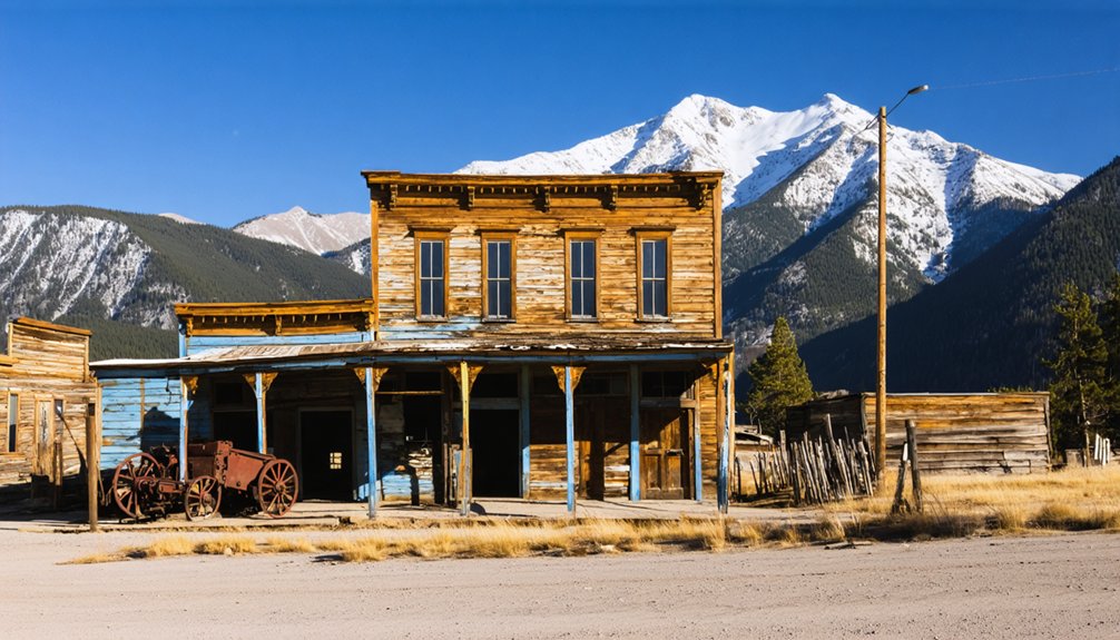
What remains of Eureka today is sparse but stirring. You’ll find the restored original jail standing as the sole surviving structure, a quiet sentinel among the silence. It’s one of the few remaining structures that anchors your imagination to the lives once lived here.
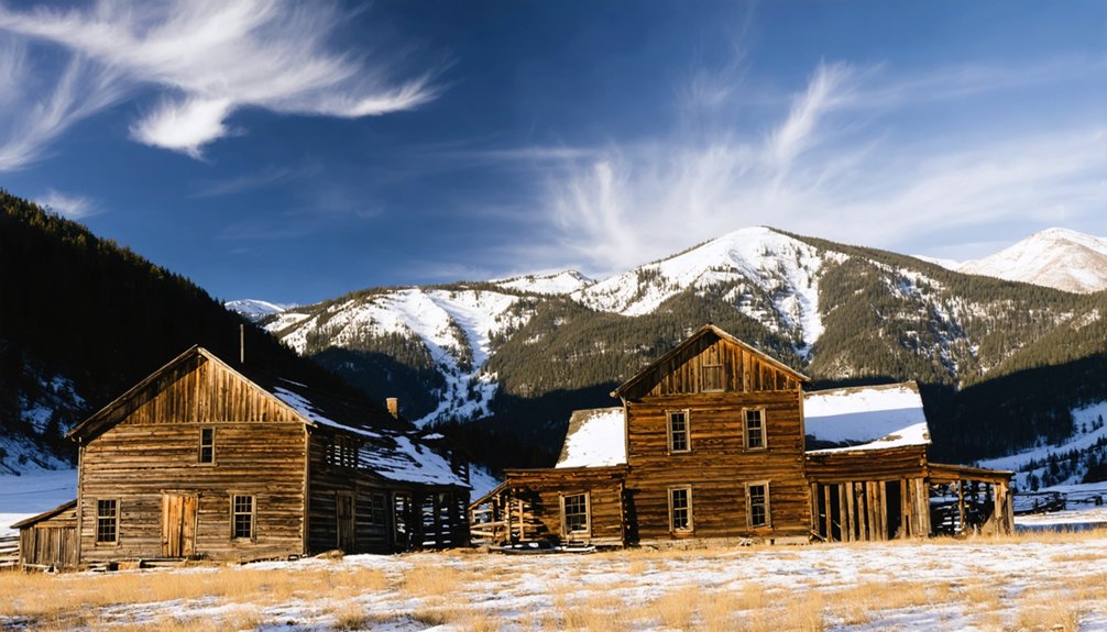
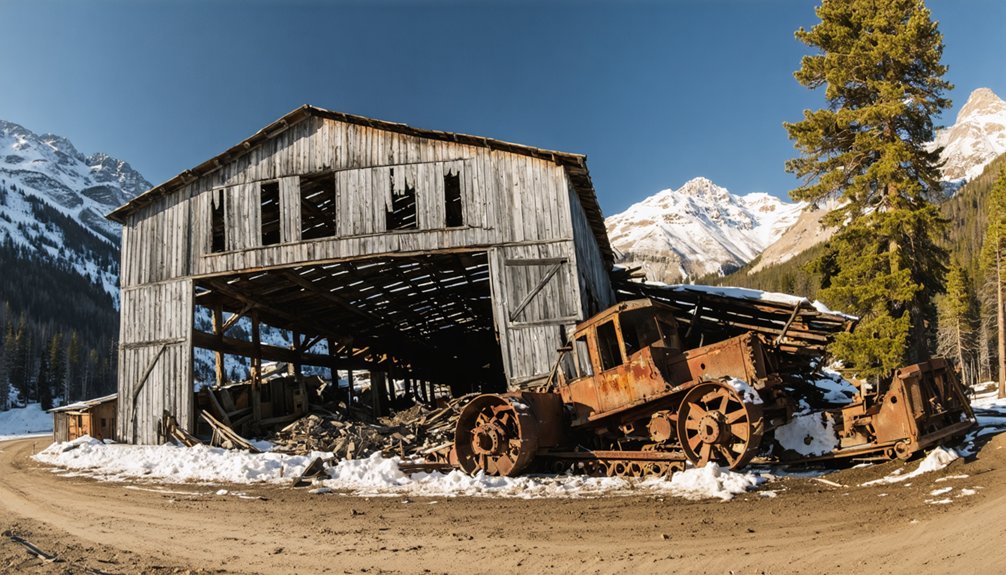
Scattered gravel roads trace the ghost of the original townsite, guiding your footsteps where miners once hustled. On the hillside, the Sunnyside Mill’s foundation endures as a weathered slab of industrial history.
These historical artifacts don’t shout — they whisper. The Eureka Campground now occupies the townsite, blending modern freedom with faded memory.
You’re fundamentally standing inside an open-air museum without walls, where the mountains hold the stories the buildings no longer can.
Driving Directions to Eureka Ghost Town
From Silverton, you’ll head north on Highway 110, winding nearly 12 miles along the rugged Alpine Loop Byway before reaching the ghost town‘s quiet, time-worn remains.
The roads demand a 4WD vehicle or capable SUV — sharp mine rock lurks on the gravel, ready to flatten a tire if you’re not careful.
Leave your large RV behind in Silverton, and make sure you’ve stocked up on supplies, because once you leave town, you’re on your own.
Route From Silverton
Leaving Silverton behind, you’ll head north on Highway 110, tracing the Animas River as it winds deeper into the San Juan Mountains. The dirt road narrows as civilization fades, replaced by towering peaks and whispering pines carrying local legends of miners who chased fortune through these same corridors.
After passing Animas Forks, swing south onto County Road 2 and drive 3.5 miles until the remnants of Eureka emerge from the landscape.
Historical artifacts dot the hillside — the Sunnyside Mill‘s foundation clings to the slope, and the restored jail stands as the sole surviving structure. Keep your speed measured; sharp mine rock threatens flat tires on this rugged stretch.
The freedom you sought back in Silverton fully arrives here, raw and unfiltered.
Road Requirements And Conditions
Before you commit to the drive, knowing what lies beneath your tires matters as much as knowing where you’re headed. These roads demand 4WD — not as a suggestion, but as a condition of passage. SUVs handle the terrain well, though large RVs should stay behind in Silverton.
Sharp mine rock scattered across the gravel earns flat tires without warning, so carry a spare. Cell service vanishes after Silverton, and no services exist until you reach the ghost site itself.
You’re crossing ground where historical artifacts and town preservation depend partly on how carefully visitors travel through. Respect the road’s limits, and it rewards you with access to a place most people never see.
Push those limits, and you’ll find yourself stranded in silence.
Best Time of Year to Visit Eureka
Summer’s your best window for visiting Eureka, when the high-country roads dry out and the San Juan Mountains burst with wildflowers against the rusted remnants of the old Sunnyside Mill.
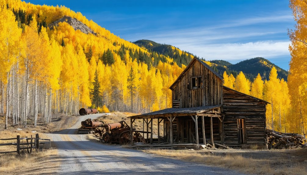
Come fall, the aspens ignite in gold along the Animas River corridor, wrapping the ghost town in a fleeting, melancholy beauty that feels tailor-made for photography.
Winter shuts the Alpine Loop down entirely, leaving Eureka buried under snow and inaccessible until the seasons turn again.
Summer Offers Ideal Conditions
When should you make the trek to Eureka? Summer is your answer. From June through August, the mountain roads dry out, the high-country wildflowers bloom, and the ghost town opens itself up for exploration.
You’ll move freely across the original gravel roads, examine historical artifacts up close, and feel the weight of a vanished era beneath your boots.
The warm months also support preservation efforts, as drier conditions protect the remaining structures from moisture damage. You’ll photograph the Sunnyside Mill’s foundation in golden morning light, wander the old townsite, and breathe air that carries no modern noise.
At 9,863 feet, summer temperatures stay invigorating rather than harsh. This is the season Eureka rewards your curiosity without the punishing unpredictability of mountain winters closing roads around you.
Fall Colors Peak Beautifully
As September fades into October, the aspen groves lining the Animas River corridor ignite in gold and amber, transforming Eureka’s already haunting landscape into something otherworldly. You’ll find the contrast striking — brilliant foliage pressed against weathered stone foundations and rusted historical artifacts frozen in time.
Fall strips away summer’s crowds, leaving you alone with the silence and the remnants of lives once fully lived. The cooler temperatures make hiking the townsite comfortable, and the softer light flatters your photography.
Preservation efforts have kept key structures intact, so you’re seeing history authentically, not staged. Come mid-September for peak color, but check road conditions before heading out — mountain weather shifts fast.
This season rewards those who crave raw, unfiltered freedom over polished tourist experiences.
Winter Roads Close Seasonally
Winter seals Eureka’s roads under snow and ice, typically shutting down County Road 2 from late October through May or June depending on snowpack. Winter closures aren’t suggestions — they’re enforced by nature itself. Seasonal accessibility shrinks your window, making summer and fall your prime opportunities to roam freely through this forgotten canyon.
Plan your visit around these realities:
- Check road conditions through San Juan County before departure, as opening dates shift yearly with snowpack levels
- Target July through September for the most reliable access and stunning mountain clarity
- Avoid late October arrivals — early storms can strand unprepared vehicles on remote gravel roads
Respect the mountain’s rhythm, and you’ll earn the road. Rush it, and you won’t reach Eureka at all.
What Vehicle You Need to Reach Eureka Ghost Town
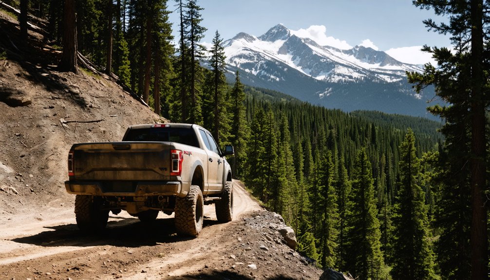
Getting to Eureka isn’t a Sunday drive—you’ll need a 4WD vehicle or a capable SUV to handle the rugged dirt roads stretching 12 miles beyond Silverton on County Road 2.
The terrain demands real off-road capabilities; sharp mine rock litters the gravel, threatening flat tires on unprepared rigs. Before you roll out, prioritize vehicle maintenance—check your tires, fluids, and spare.
Large RVs simply can’t navigate these mountain switchbacks, so leave them behind in Silverton. Once you’re beyond town, there’s no cell signal, no services, and no rescue waiting around the corner.
That’s part of the freedom. Just you, the San Juan Mountains, and miles of wild, untamed road leading straight into Colorado’s forgotten past.
Safety Tips for Exploring Eureka Ghost Town
Exploring Eureka demands respect—this place is beautiful, but it bites back if you’re careless. The mountain silence feels sacred, but dangers hide beneath that stillness. Protect yourself and these historical artifacts so future wanderers can experience the same raw wonder you’re feeling now.
- Watch your step — rotting floorboards in old structures collapse without warning; stay grounded outside
- Respect wildlife encounters — black bears roam freely here, so stay alert and never approach
- Guard your tires — sharp mine rock shreds rubber fast on these gravel roads
You’re out here chasing freedom, not a hospital visit. Leave no trace, fly drones 100 feet above ruins, and pack wag-bags if you’ve got kids. No bathrooms exist beyond Silverton.
Ghost Towns and Attractions Near Eureka, Colorado
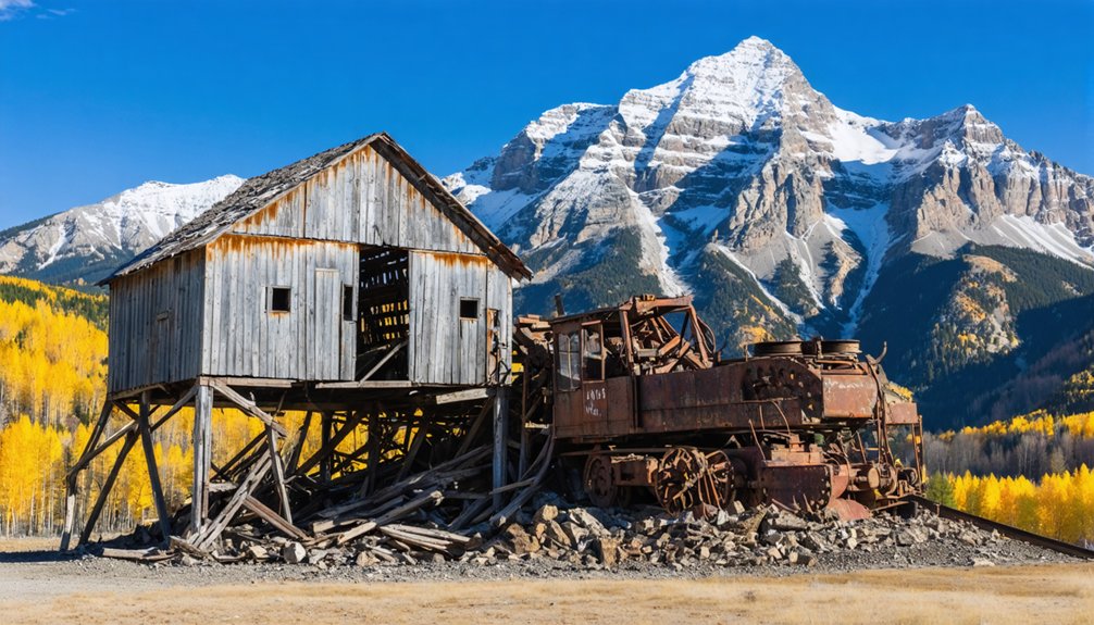
Once you’ve soaked in Eureka’s hollow silence, the Alpine Loop Byway pulls you deeper into San Juan County’s layered past.
Just 4.2 miles beyond Eureka, Animas Forks waits with its weathered bones still standing — a rare example of historical preservation at elevation. You’ll walk streets where miners once chased fortune and froze through brutal winters, each crumbling wall carrying local legends of boom and abandonment.
The full 65-mile Alpine Loop threads through multiple ghost towns, rewarding anyone craving raw mountain solitude and genuine historical texture. You’ll need a 4WD, high-clearance vehicle to navigate it responsibly.
Silverton anchors the route, offering lodging and fuel before you disappear back into the backcountry. Every mile adds another chapter to Colorado’s restless, gold-dusted story.
Frequently Asked Questions
When Did Eureka, Colorado First Become a Mining Settlement?
“Strike while the iron’s hot” — you’ll find Eureka’s mining history rooted in 1860, when Charles Baker’s discovery of placer gold sparked the settlement origins of this wild, free-spirited Colorado frontier camp.
How Long Did Eureka’s Post Office Remain in Operation?
Eureka’s post office ran for nearly 67 years, from 1875 to 1942—a tribute to historical preservation. You’ll feel the nostalgia of local legends echoing through time as you explore this beautifully free, untamed ghost town.
What GPS Coordinates Help Photographers Capture the Sunnyside Mill at Sunrise?
You’ll capture the world’s most breathtaking sunrise photography with GPS navigation locked on 37.8959, –107.6232 for the Sunnyside Mill, and your parking pull-out’s waiting at 37.8954, –107.6221—roam free and shoot magnificently!
Why Was Eureka’s Townsite Built Between Two Mountainsides?
You’ll find that Eureka’s townsite placement between two dramatic mountain formations wasn’t accidental — settlers strategically nestled it there to shield against deadly avalanches, letting you feel that timeless, hard-won freedom pioneers cherished in Colorado’s rugged, unforgiving wilderness.
Are Drones Permitted to Fly Over Eureka’s Ruins and Wildlife?
Yes, you can fly drones, but drone regulations require you to keep them 100 feet above the ruins and wildlife. Embrace wildlife protection — let those black bears and storied landscapes breathe freely beneath your soaring lens.
References
- https://en.wikipedia.org/wiki/Eureka
- https://www.uncovercolorado.com/ghost-towns/eureka/
- https://jwdurango.com/unlock-eureka-road-easy-access-ghost-town-tips-epic-photos/
- https://www.legendsofamerica.com/eureka-colorado/
- https://www.youtube.com/watch?v=gwNitfYDPOE
- https://www.facebook.com/groups/CoMinesHistory/posts/1066166084062814/
- https://www.youtube.com/watch?v=p81yZnjuSls
- https://kekbfm.com/colorado-ghost-towns-eureka-and-the-sunnyside-mine/