Planning a ghost town road trip to Ashton, Minnesota means venturing into Winona County’s wild, swampy terrain near GPS coordinates 43.917°N, 91.500°W. You’ll start in Ridgeway and head roughly 1.5 miles east-northeast toward County Road 12. Don’t expect signs, foundations, or trails — Ashton’s vanished completely beneath dense overgrowth since its post office closed in 1902. Bring good maps, a full tank, and realistic expectations. There’s far more to this forgotten settlement’s story than its silence suggests.
Key Takeaways
- Ashton, Minnesota sits at GPS coordinates 43.917°N, 91.500°W, roughly 1.5 miles east-northeast of Ridgeway near County Road 12.
- No signs, structures, or marked trails exist at the site, so bring reliable maps and prepare for dense swampland terrain.
- The town vanished after its post office closed in 1902, leaving no visible foundations, artifacts, or archaeological remnants behind.
- Combine your visit with nearby Winona County ghost towns like Almon, Enterprise, Fairwater, and Whitewater Falls for a fuller day trip.
- Research sites beforehand using county historical societies and genealogy databases to enrich your understanding of each forgotten community.
What’s Left of Ashton, Minnesota’s Vanished Ghost Town
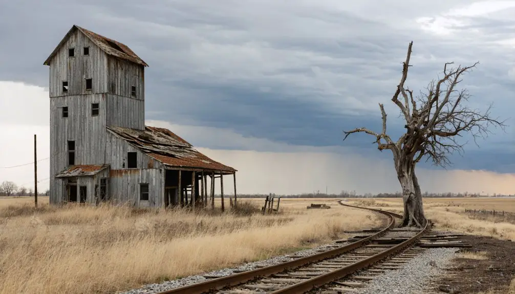
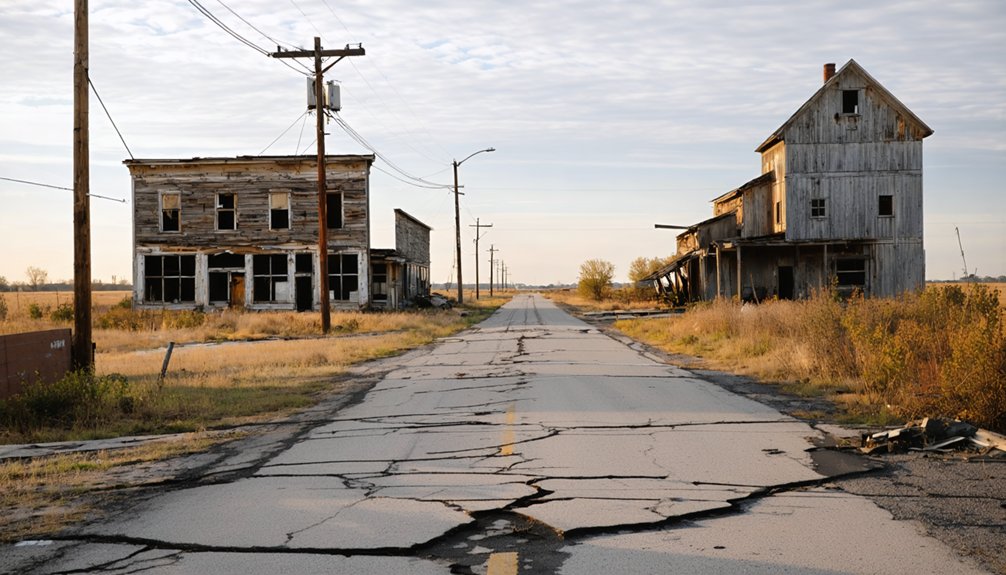
When you arrive at the approximate site of Ashton, Minnesota, you’ll find nothing but swampland, overgrowth, and silence — no buildings, foundations, roads, or markers to confirm a community ever existed here. Highway construction likely erased whatever physical evidence survived the town’s mid-1850s collapse, leaving researchers dependent on fragmented records rather than historical artifacts or standing structures.
The post office operated here until 1902, yet even that chapter left no visible imprint on the landscape. Oral histories and genealogy databases remain among the few resources confirming Ashton’s existence at all.
GPS coordinates 43.917°N, 91.500°W place you near the general location within sections 11 and 12 of Pleasant Hill Township, but nature has fully reclaimed this ground, offering no guided experience — just raw, uncurated wilderness where a planned community once stood.
Ashton’s Rise and Collapse in Mid-19th Century Minnesota
Ashton’s story follows a pattern you’ll recognize across mid-19th century Minnesota — a planned community built on ambition, erased by circumstance. Settlers arrived in the mid-1850s with deliberate settlement planning, staking out sections 11 and 12 of Pleasant Hill Township with expectations of growth and permanence.
The historical economic forces driving Minnesota’s expansion were powerful but unpredictable. Towns rose quickly and collapsed just as fast when trade routes shifted, populations moved on, or resources dried up. Ashton couldn’t survive those pressures.
By the time its post office opened in 1891, the community was already fading — and that post office closed permanently in 1902.
What you’re left with today is swampland and silence, nature reclaiming every trace of what settlers once believed would endure.
How to Reach the Ashton Townsite Using County Road 12
Reaching the Ashton townsite requires little more than a good map, a tank of gas, and realistic expectations. Start your navigation in Ridgeway, Minnesota, then head approximately 1.5 miles east-north-east toward County Road 12 in Winona County. Your GPS coordinates are 43.917°N, 91.500°W, placing you within sections 11 and 12 of Pleasant Hill Township.
Don’t expect signage — none exists. What you’ll find instead is dense local flora, swampland vegetation, and natural overgrowth that has completely reclaimed the land. Highway construction may have already erased whatever physical evidence once remained, making historical speculation your primary companion on this visit.
Bring your curiosity, respect the landscape, and let the coordinates guide you to a place that exists now only in fragmented records and quiet wilderness.
Why Ashton Offers No Physical Trace for Visitors
Once you’ve parked and stepped out at those GPS coordinates, you’ll quickly understand why Ashton earns its reputation as one of Minnesota’s most enigmatic ghost towns — there’s simply nothing left to see.
Three forces erased it completely:
- Swampland and dense overgrowth reclaimed every structure after the post office closed in 1902.
- Highway construction likely destroyed whatever fragile remnants survived the vegetation.
- Lost historical records eliminated any roadmap for meaningful historical preservation efforts.
You won’t find foundations, walls, or pathways — just wilderness doing what wilderness does.
No archaeological surveys have uncovered definitive boundaries, leaving the exact townsite frustratingly approximate.
For visitors craving freedom to explore tangible history, Ashton delivers something different: the raw, humbling experience of a place that time didn’t just forget — it completely swallowed.
Other Winona County Ghost Towns Worth Visiting Nearby
While Ashton leaves you staring into overgrown swampland, Winona County rewards the persistent ghost town hunter with several other vanished settlements worth tracking down. Explore Almon, Enterprise, Fairwater, Frank Hill, Grover, and Whitewater Falls — each carrying its own story of settlement origins rooted in mid-19th century ambition and eventual abandonment.
Unlike Ashton, some of these sites may offer faint structural remnants or contextual clues about the communities that once thrived there. Research each location before you go, since historical artifacts and surviving records vary markedly between sites.
Cross-reference genealogy databases and county historical societies to piece together a fuller picture. Mapping multiple ghost towns into a single day trip lets you cover serious ground across Winona County’s forgotten landscape efficiently and independently.
Frequently Asked Questions
What GPS Coordinates Pinpoint the Approximate Historical Location of Ashton?
You’ll find Ashton’s approximate historical location at 43.917°N, 91.500°W. These coordinates guide you toward historical landmarks swallowed by swampland, where local legends whisper of a mid-1850s community that’s completely vanished from Minnesota’s landscape.
How Long Did Ashton’s Post Office Operate During Its Active Period?
Like sands through an hourglass, Ashton’s post office operated for just over 11 years—from April 28, 1891, to November 29, 1902—leaving behind local legends and scattered historical memorabilia before it vanished into Minnesota’s forgotten wilderness.
Is Ashton Designated Within Any Specific Southeastern Minnesota Ghost Towns Section?
You’ll find Ashton designated within Section 6 of Southeastern Minnesota’s ghost town legends. Despite its abandoned structures vanishing into swampland, this classification connects you to a broader network of forgotten communities waiting to be explored.
Does Ashton Have Any Preserved Public Access or State Park Designation?
What’s wilder than untamed land with no rules? Ashton doesn’t have any historical preservation or state park designation. You’ll explore freely, chasing local legends through swampland with zero official boundaries restricting your adventurous spirit.
Could Future Highway Construction Further Obscure Remaining Evidence of Ashton?
Yes, future highway construction could further obscure Ashton’s remaining evidence, stripping away its archaeological significance. If you’re into urban exploration, you’d better visit soon before road projects permanently erase what little freedom this vanished settlement still holds.
References
- https://en.wikipedia.org/wiki/Ashton
- https://krforadio.com/ghost-towns-in-se-minnesota/
- https://genealogytrails.com/minn/towns_rank.html
- https://www.minnesotahistory.org/post/a-complete-guide-to-the-ghost-towns-of-hennepin-county