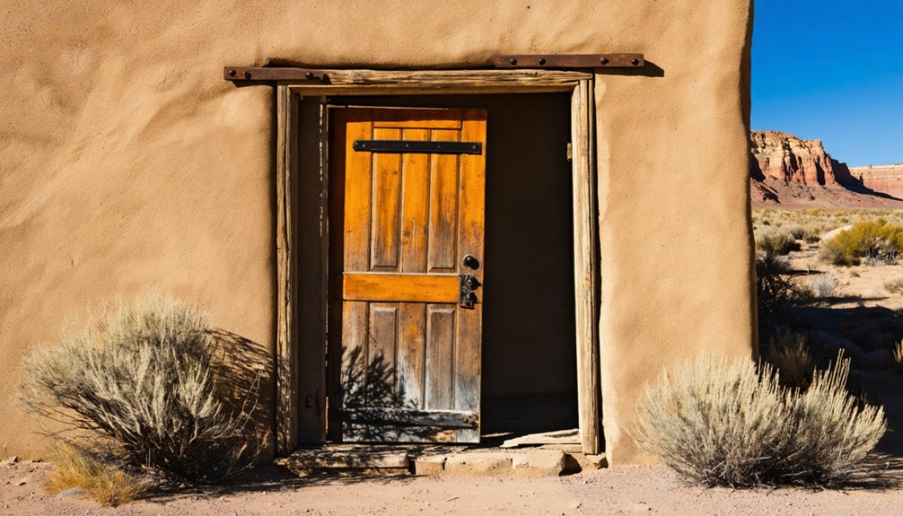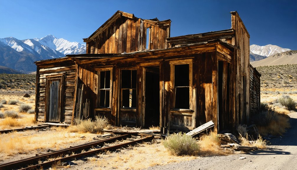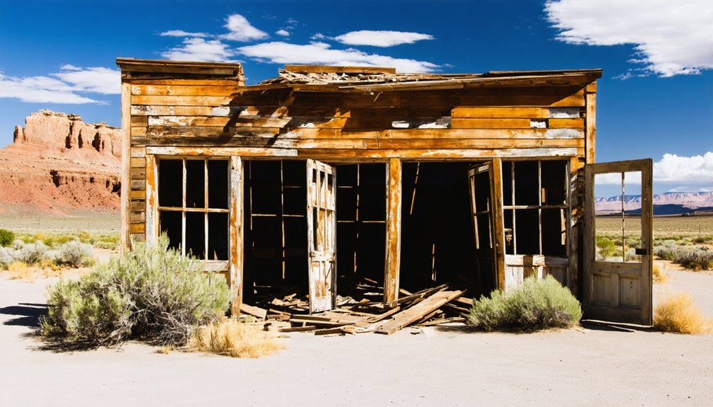
Planning a ghost town road trip to Giles, Utah starts with Utah State Route 24, where you’ll find this hauntingly remote settlement near Milepost 110 in Wayne County’s Blue Valley. Founded by Mormon pioneers in the 1880s and abandoned by 1919, Giles rewards curious travelers with weathered rock buildings, crumbling foundations, and a striking blue-gray Bentonite landscape. Spring and fall offer the best conditions for exploring. Stick around — there’s much more to uncover about this fascinating desert relic.
Key Takeaways
- Giles sits near Milepost 110 on Utah Route 24, between Caineville and Hanksville, making it easily accessible via a main desert highway.
- Two weathered rock buildings, scattered foundations, and old corrals mark the site of this once-thriving 1880s Mormon farming community.
- Visit during spring or fall to avoid extreme summer heat and potential winter accessibility issues on unpaved terrain.
- Prepare your vehicle for washboards, soft shoulders, and loose gravel, and pack water, emergency supplies, and offline navigation tools.
- Combine Giles with nearby Hanksville and Fruita in Capitol Reef National Park for a comprehensive two-day ghost town road trip.
What Is Giles Ghost Town and Why Visit?
Tucked into the remote desert expanse of Blue Valley along Utah’s Fremont River, Giles is a ghost town in Wayne County that once supported a thriving Mormon farming community of nearly 200 people. Founded in the early 1880s, it grew into a self-sufficient settlement before repeated Fremont River floods drove residents away by 1919.
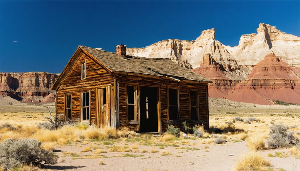
Today, two standing rock buildings, scattered foundations, and old corrals are all that remain. You won’t find crowds or guided tours here — just open desert, local legends tied to pioneer struggle, and the raw silence of an abandoned place.
Preservation efforts remain minimal, keeping the site authentic and unpolished. If you crave history without the tourist packaging, Giles delivers an honest, unfiltered glimpse into Utah’s frontier past.
Where Is Giles Ghost Town Located?
You’ll find Giles in Blue Valley, a stark desert corridor in Wayne County, Utah, where blue-gray Bentonite clay and Mancos Shale give the landscape its eerie, otherworldly tone.
The Fremont River cuts through this remote valley, and the ghost town sits along its banks roughly between Caineville and Hanksville.
To get there, follow Utah State Route 24 to around Milepost 110, where the remnants of this abandoned pioneer settlement quietly emerge from the desert.
Blue Valley Desert Setting
Nestled in Wayne County, Utah, Giles sits in Blue Valley along the Fremont River — a stark, remote desert corridor running between Caineville and Hanksville on Utah State Route 24.
The valley takes its name from the distinctive blue-gray soil beneath your feet, shaped by Bentonite clay and Mancos Shale that gives the landscape an almost otherworldly appearance.
You’ll feel the isolation immediately — open skies, sparse vegetation, and silence that makes the local legends of pioneer struggle feel entirely believable.
The historical architecture that once defined this settlement now exists as only two standing rock buildings, scattered foundations, and old corrals.
It’s a raw, unfiltered desert setting that rewards travelers who crave authentic history far from crowded tourist corridors.
Route 24 Access Point
Once you’ve taken in that eerie blue-gray landscape, your next step is pinning down exactly where Giles sits on the map. You’ll find it along Utah State Route 24, near Milepost 110, between Caineville and Hanksville in Wayne County.
For historical preservation and tourist safety, know the terrain before you arrive — this stretch is remote and unforgiving.
Picture yourself driving through:
- A vast, open desert corridor with jagged canyon walls flanking both sides of the road
- The Fremont River snaking through cracked, salt-bleached floodplains below the highway
- A sudden stillness where the ghost town’s two standing rock buildings emerge against an empty sky
Keep your tank full, check road conditions, and treat this stop as the raw, off-the-beaten-path experience it truly is.
How to Get to Giles on Utah State Route 24
To reach Giles, you’ll take Utah State Route 24, the main corridor running between Caineville and Hanksville through Capitol Reef Country.
Keep an eye out for key landmarks like the open desert expanse of Blue Valley and the Fremont River as you travel through this remote stretch of highway.
Once you spot Milepost 110, you’ve arrived at the ghost town site.
Finding Utah State Route 24
Reaching Giles means getting yourself onto Utah State Route 24, the lonely two-lane highway that cuts through Capitol Reef Country between Caineville and Hanksville. This corridor carries serious historical preservation value, threading past landscapes that shaped early pioneer life. Keep your eye on Milepost 110, where the cultural significance of Blue Valley quietly reveals itself against the open desert.
Picture what you’ll encounter along the way:
- Endless blue-gray flats of Bentonite clay stretching toward distant canyon walls
- A narrow ribbon of asphalt cutting through raw, sun-baked silence with almost no development in sight
- The Fremont River corridor running parallel, tracing the same route that determined everything for early settlers
Come prepared with a full tank, water, and a reliable vehicle.
Key Landmarks Along Route
Driving Utah State Route 24 toward Giles, you’ll pass through a handful of reference points that keep you oriented across an otherwise featureless landscape. Caineville appears first, a reliable marker before the terrain opens into Blue Valley’s signature blue-gray Bentonite flats.
Watch for Milepost 110 as your primary target — Giles sits right along that stretch between Caineville and Hanksville. The Fremont River traces beside the highway, giving you both a geographic anchor and opportunities for wildlife sightings, including shorebirds and mule deer drawn to the water’s edge.
Local flora shifts noticeably as you drop into the valley — sparse desert scrub against pale clay soil. The Henry Mountains dominate the southern horizon, confirming you’re deep in Capitol Reef Country and closing in on the site.
Milepost 110 Arrival Point
When you’re ready to find Giles, Utah State Route 24 is your lifeline through this stretch of Wayne County desert. Watch for Milepost 110 between Caineville and Hanksville, where the ghost town quietly waits along the Fremont River‘s edge.
Historical preservation here is minimal, so arriving with intention matters.
- Blue-gray Bentonite soil stretches across the valley floor, giving the landscape an almost lunar stillness.
- Two standing rock buildings break the flat horizon, surrounded by scattered foundations and old corrals.
- Open desert sky frames the site perfectly for photography tips worth remembering: shoot during golden hour for dramatic contrast against the pale terrain.
You won’t find signage or crowds. You’ll find raw, unfiltered history sitting exactly where pioneers left it.
How Giles Went From Pioneer Settlement to Ghost Town
What started as a promising pioneer community slowly unraveled under the relentless force of nature. Mormon settlers built Giles from scratch in the early 1880s, carving irrigation canals from raw desert and raising families along the Fremont River‘s banks. By 1900, nearly 200 people called this remote valley home.
Then the floods came. Repeated Fremont River floods through the early 1900s destroyed infrastructure and exhausted the settlers’ resolve.
What You’ll Actually See at the Giles Ghost Town Site
Today, Giles offers far less than most ghost town hunters expect—but that sparse reality is part of its appeal. You won’t find museum-quality historical artifacts or active preservation efforts here.
Giles offers far less than most expect—and that sparse, unfiltered reality is precisely the point.
What you’ll encounter is raw, unfiltered desert silence and the quiet evidence of lives once built along the Fremont River.
Look for these remnants as you explore the site:
- Two standing rock buildings, weathered but still upright against the blue-gray Bentonite landscape
- Crumbling foundations scattered across both riverbanks, tracing the original town layout
- Old corrals half-swallowed by desert scrub, hinting at the agricultural life that once sustained 200 people
Bring water, set your own pace, and let the emptiness tell the story.
Best Time of Year to Visit Giles Ghost Town
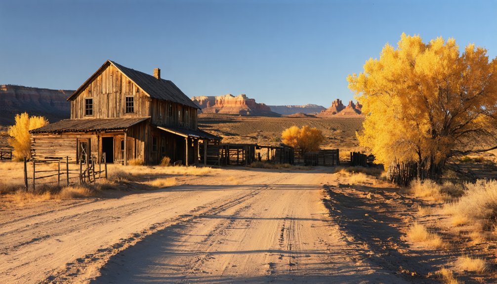
Once you know what to look for at Giles, timing your visit becomes the next piece of the puzzle—because this remote desert site rewards some seasons far more than others. Spring and fall are your strongest options. Mild temperatures make the walk around the remaining ghost town architecture comfortable, and the desert flora actually shows life—wildflowers and sparse grasses soften the otherwise stark Blue Valley landscape.
Summer heat in this exposed valley turns brutal fast, and shade is practically nonexistent. Winter can close or roughen Route 24 corridor access near Milepost 110, making the drive unpredictable. If you want clear skies, manageable heat, and the best light for photographing the two standing rock buildings, aim for late March through May or September through October.
Is Your Car Ready for This Drive?
Before you head out to Giles, you’ll want to make sure your vehicle is up to the challenge of this remote desert drive. Utah State Route 24 gets you close, but the surrounding terrain is unforgiving.
A breakdown far from Hanksville or Caineville isn’t something you want to gamble on. Check your tires, fluids, and spare before you leave, because reliable services are scarce once you’re deep into Capitol Reef Country.
Check Your Vehicle First
Driving out to Giles means traversing a remote stretch of Utah desert where the nearest help isn’t just down the road — it could be miles away. Before you chase historical architecture and local legends through Wayne County’s barren landscape, make sure your vehicle’s ready for the journey.
Give your car a honest once-over before leaving civilization behind:
- Tires and spare: Picture yourself stranded on Route 24 near Milepost 110, surrounded by nothing but blue-gray Bentonite flats and silence.
- Fuel level: Hanksville and Caineville are your closest stops — don’t assume there’s something closer.
- Water and emergency kit: Desert heat doesn’t negotiate, and neither does distance.
A little preparation keeps your road trip moving forward instead of sideways.
Remote Road Conditions
Your vehicle’s mechanical shape matters, but so does the road it’s traveling on. Giles sits near Milepost 110 on Utah State Route 24, tucked into a remote desert valley between Caineville and Hanksville. The main route stays paved, but reaching the actual site may pull you onto unpaved desert terrain where washboards, loose gravel, and soft shoulders test your confidence behind the wheel.
This isn’t a developed attraction. Its historical significance lives in crumbling rock walls, old foundations, and scattered corrals with no active preservation efforts maintaining access roads. Nobody’s grooming the path for casual visitors.
Check current road conditions before you leave, carry extra water, and know your vehicle’s clearance. Out here, freedom means self-reliance, and self-reliance means arriving prepared.
What to Bring to a Remote Utah Ghost Town
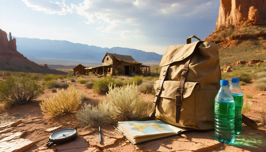
Packing smart makes all the difference when you’re heading to a remote site like Giles, where the nearest town is miles away and there’s no infrastructure to bail you out. Local legends and urban legends about stranded travelers along Route 24 aren’t just campfire stories — they’re reminders that desert freedom demands preparation.
- Water and food: Carry more than you think you’ll need; the blue-gray Bentonite flats surrounding Giles offer zero shade and zero services.
- Navigation tools: Cell service disappears fast near Milepost 110, so bring a paper map or downloaded offline route.
- Sturdy footwear: Broken foundations and old corrals hide uneven ground beneath windblown soil.
Pack deliberately, move confidently, and let the ghost town reveal itself on your terms.
Ghost Towns Within a Day’s Drive of Giles
Once you’ve packed the car and pulled onto Route 24, Giles doesn’t have to be your only stop — Capitol Reef Country and the surrounding desert are scattered with ghost towns worth building a full day’s drive around.
Nearby Caineville offers glimpses of historical architecture from another failed irrigation era. Push further toward Hanksville and you’ll find remnants tied to outlaw local folklore, including hideouts once used by Butch Cassidy’s gang.
Fruita, preserved within Capitol Reef National Park, adds a living layer to the region’s pioneer story. Each stop rewards curiosity with stone foundations, crumbling walls, and landscapes that explain why settlers struggled to stay.
String them together on Route 24, and you’ve built a desert heritage route worth the full tank of gas.
A Two-Day Capitol Reef Ghost Town Road Trip Itinerary
Two days is enough time to string together a proper ghost town loop through Capitol Reef Country without rushing past the details that make each stop worth finding. Start near Caineville on day one, working east along Route 24 toward Milepost 110, where Giles sits quietly against blue-gray Bentonite flats beside the Fremont River.
- Two rock buildings stand against an open desert sky, framed by eroded shale and old corral lines fading into scrubland.
- Wildlife encounters along the river corridor break up the drive with unexpected stillness.
- The cultural significance of Mormon irrigation settlements becomes tangible when you’re standing on cracked ground that once fed 200 people.
Save day two for Hanksville and surrounding sites before looping back through Capitol Reef itself.
Frequently Asked Questions
Is There a Fee or Permit Required to Visit Giles Ghost Town?
Like a wide-open frontier, you’re free to visit Giles with no fee or permit required! Embrace historical preservation respectfully, follow any photography restrictions on private land, and roam this hauntingly beautiful ghost town freely.
Are Camping or Overnight Stays Allowed Near the Giles Site?
The knowledge doesn’t confirm official camping near Giles, but you’ll find freedom exploring BLM land nearby. Don’t miss the historical preservation site’s incredible photography opportunities while you chase adventure through Utah’s remote, hauntingly beautiful desert landscapes.
Can I Bring My Dog to the Giles Ghost Town Site?
No pet restrictions exist at Giles, so you can bring your dog! Prioritize dog safety in this remote desert heat — pack extra water, watch for rough terrain, and keep your pup leashed near old foundations.
Is There Cell Phone Service Near Giles Along Route 24?
You’ll likely find little to no cell phone coverage near Giles along Route 24. Signal strength drops considerably in this remote desert valley, so download your maps beforehand and embrace the freedom of true off-grid exploration!
Are Guided Tours of Giles Ghost Town Available Through Any Organization?
You’re on your own here — no organizations offer guided exploration of Giles. You’ll discover historical artifacts and crumbling foundations freely, making it a raw, independent adventure perfect for those who chart their own course.
References
- https://en.wikipedia.org/wiki/Giles
- https://images2.loopnet.com/d2/mNtUjVpqdKF6biniUqExR8hpRdqEnKJQZfis5EFk1Mo/document.pdf
- https://www.youtube.com/watch?v=IOB5MDXSkmc
- https://www.onlineutah.com/gileshistoryb.shtml
- https://en.wikipedia.org/wiki/List_of_ghost_towns_in_Utah
- https://capitolreefcountry.com/cities-towns/ghost-towns/
- https://mapcarta.com/N3229765485
- https://onlineutah.us/gileshistorya.shtml
- https://commons.wikimedia.org/wiki/Category:Giles
- https://en.wikipedia.org/wiki/Blue_Valley_(Wayne_County