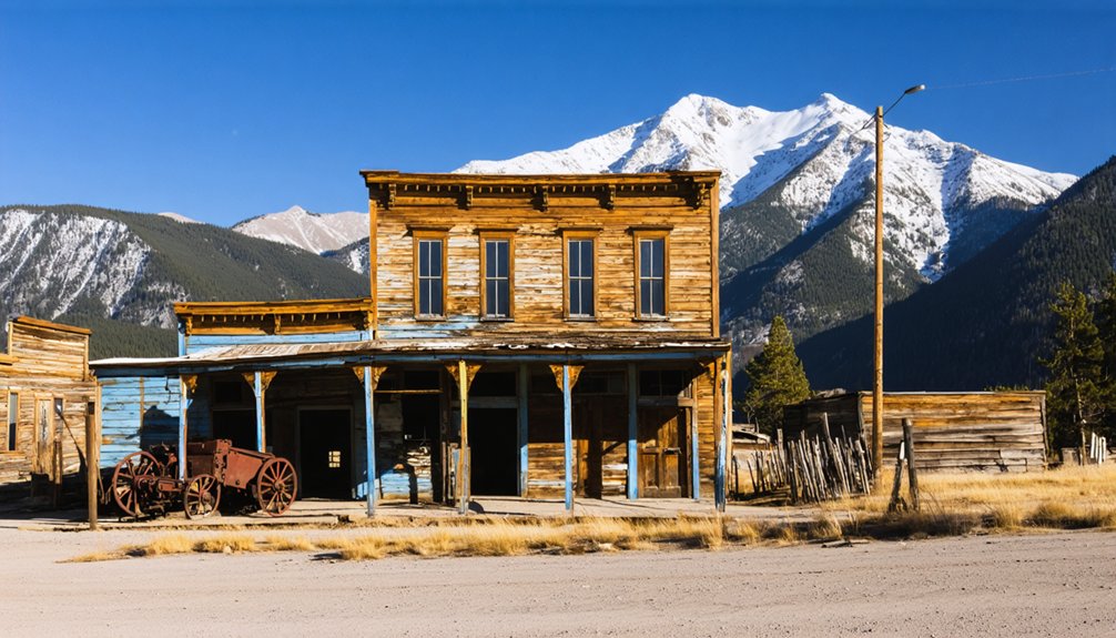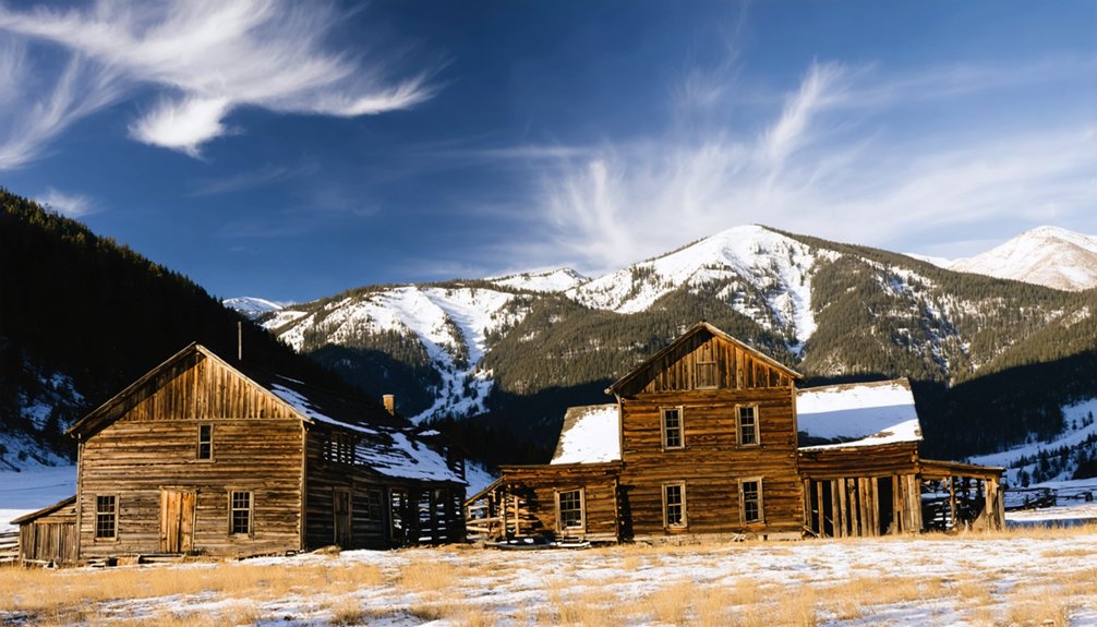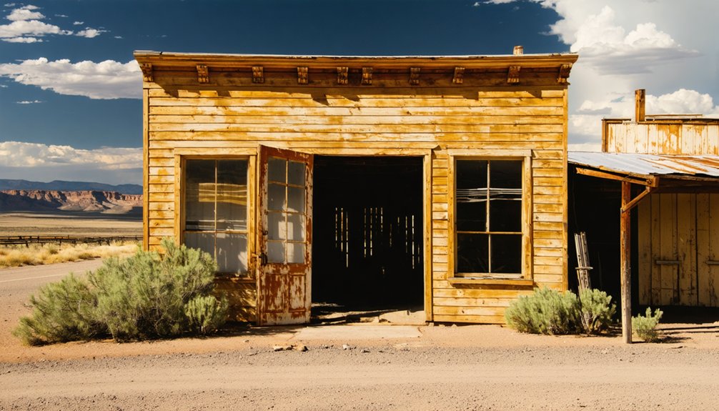
McPhee, Colorado ran hard from 1924 to 1948, then disappeared beneath the waters of McPhee Reservoir without a trace. You can’t walk its streets or touch its foundations—the reservoir claimed all of it. But you can stand at the water’s edge, imagine what hummed beneath the surface, and build a route through nearby ghost towns that still have stories to tell. Stick around, and you’ll find exactly how to do that.
Key Takeaways
- McPhee, established in 1924, was a logging town submerged by McPhee Reservoir, leaving no accessible standing structures to explore above water.
- During low-water drought periods, traces of McPhee’s townsite occasionally surface, offering rare glimpses into the submerged community’s past.
- Pair reservoir shoreline views with nearby ghost towns like Silverton, Ouray, Animas Forks, and Ironton for a complete experience.
- Some roads require high clearance or 4WD vehicles; download offline maps since cell service is limited in remote areas.
- Pack water, sturdy boots, and weather layers while respecting artifacts and structures to preserve these historic sites responsibly.
McPhee’s Logging Origins and Its Short Two-Decade Life
When McPhee took shape in 1924, it wasn’t a mining camp chasing silver veins or gold strikes — it was a logging industry town, built from the ground up to harvest southwestern Colorado’s timber. Workers arrived, structures rose, and a functioning community carved itself into the landscape with purpose and urgency.
But McPhee’s short lifespan tells the honest story. By 1948, it was gone — abandoned after roughly two decades of operation. No dramatic collapse, no headline disaster. The timber work simply ended, and the people moved on, leaving behind what the logging industry always leaves: silence where machinery once ran.
You won’t find ruins waiting for you today. The reservoir swallowed what remained. What you’re chasing here is history itself — raw, unpreserved, and worth understanding before you arrive.
Why McPhee Colorado Is Now Underwater
Abandonment wasn’t McPhee’s final chapter — the reservoir was. After industrial decline emptied the town in 1948, the land didn’t simply return to wilderness. Decades later, reservoir formation claimed it entirely.
The construction of McPhee Reservoir submerged what remained of the old logging settlement, pulling streets, foundations, and memories beneath cold southwestern Colorado water.
That’s what makes this destination unlike any ghost town you’ve visited before. You won’t walk through doorways or photograph crumbling storefronts. Instead, you’ll stand at the water’s edge, knowing an entire community exists somewhere below the surface.
It’s eerie, humbling, and strangely freeing. McPhee doesn’t ask you to see it — it asks you to imagine it. And that demands something more from you as a traveler.
Can You Still Visit the McPhee Townsite Today?
You can’t walk the streets of McPhee today, because the reservoir has swallowed every foundation, timber, and trace of the 1924 logging settlement beneath its surface.
What you can do is stand at the water’s edge and let the landscape tell the story, knowing that an entire working community once occupied the ground now lying fathoms below.
The scenic viewpoints around McPhee Reservoir offer a haunting and rewarding stop, trading crumbling walls for open water and the quiet weight of a town that time didn’t just abandon, it drowned.
Townsite Now Submerged
Unlike most ghost towns where you can walk the crumbling streets and peer through broken windows, McPhee exists beneath the surface of McPhee Reservoir. The reservoir’s environmental impact permanently erased any chance of conventional exploration.
Historical preservation here means understanding what’s lost rather than what remains.
What you can expect today:
- No standing structures remain accessible above water
- The reservoir now defines the entire original townsite
- Scenic viewpoints offer your only visual connection to the past
- Local historical records document what the water swallowed
- Nearby heritage stops compensate for the submerged site
McPhee’s story isn’t told through ruins — it’s told through absence. That absence carries its own weight. You’re standing at the edge of something real, something deliberate, something permanently reshaped by human decision and rising water.
Scenic Viewpoints Nearby
Though the town itself lies fathoms below the reservoir’s surface, you can still make a meaningful visit to the McPhee site — it just looks nothing like a typical ghost-town stop. Pull up to McPhee Reservoir’s shoreline and you’re standing above a vanished logging community, its historical artifacts permanently sealed beneath calm water.
No crumbling storefronts greet you here — just open sky, mesa country, and the quiet weight of a forgotten industrial past.
Local legends suggest the reservoir occasionally reveals traces of the old townsite during drought-driven low-water periods, making timing your visit worthwhile. Bring binoculars, a downloaded map, and a willingness to read the landscape differently.
Freedom here means trading conventional ruins for something rarer — a ghost town you experience through imagination, history, and horizon.
How to Build a Road Trip Route When the Townsite Is Underwater
When a ghost town sits beneath a reservoir instead of a hillside, you’ll need to rethink what a road trip there actually means. McPhee’s historical artifacts and preservation challenges exist underwater now, so your route becomes regional rather than site-specific.
Build your itinerary around what the area still offers:
- Stop at McPhee Reservoir for shoreline views and reflection on what’s lost below
- Anchor your loop through Montezuma County’s broader heritage corridor
- Add nearby ghost towns with standing structures and mine remains
- Download offline maps before leaving — cell service disappears fast out here
- Pack water, sturdy boots, and weather-ready layers for every stop
You’re chasing history across a landscape that doesn’t always cooperate. That’s exactly what makes this kind of freedom worth pursuing.
The Best Ghost Towns to Add Near McPhee
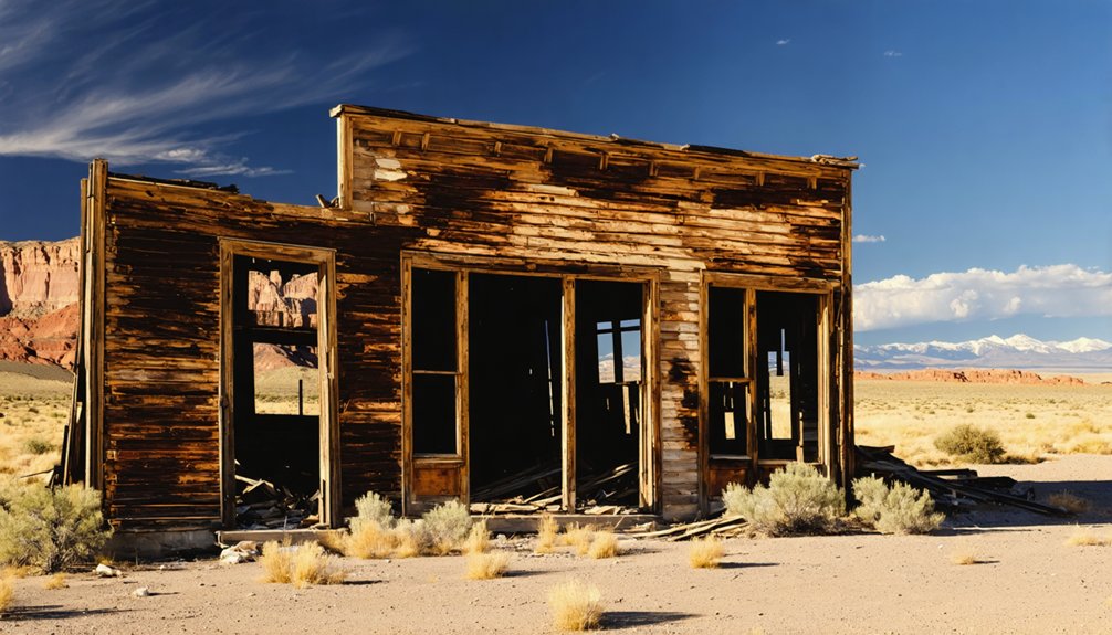
Since McPhee itself offers scenery over ruins, you’ll want to build your stops around ghost towns that still have something standing. Southwestern Colorado rewards that instinct generously.
Head toward Silverton and Ouray, where mining relics scatter across high-elevation terrain that feels genuinely untouched. Animas Forks delivers collapsed Victorian structures against alpine backdrops that few travelers forget. Ironton sits closer to the valley floor, offering accessible historic architecture without demanding a serious 4WD commitment.
If you’re willing to push further, Carson and Winfield reward the effort with standing cabins and authentic isolation. Each stop adds narrative weight to McPhee’s story — a reminder that Colorado’s remote towns didn’t simply disappear. Some sank underwater. Others still stand, waiting for you to find them.
Road Access and Conditions Along the McPhee Route
Reaching those ghost towns requires honest planning before you leave the pavement behind. Urban development and environmental impact have reshaped roads and access points across southwestern Colorado, so conditions vary dramatically by season and route.
Expect the following before departure:
- Some roads demand high clearance or 4WD, especially near high-elevation mining districts
- Weather shifts fast at altitude, turning dry roads into slick hazards within hours
- Cell service drops across remote Montezuma County stretches, so download maps beforehand
- Unstable structures and sharp debris appear without warning at accessible townsites
- Seasonal closures can block routes entirely through late spring snowpack
You’re chasing real history across real terrain. Respect the land, carry water, wear sturdy boots, and treat every unpaved mile as a commitment rather than a casual detour.
What to Pack for the McPhee Area and Nearby Ghost-Town Stops
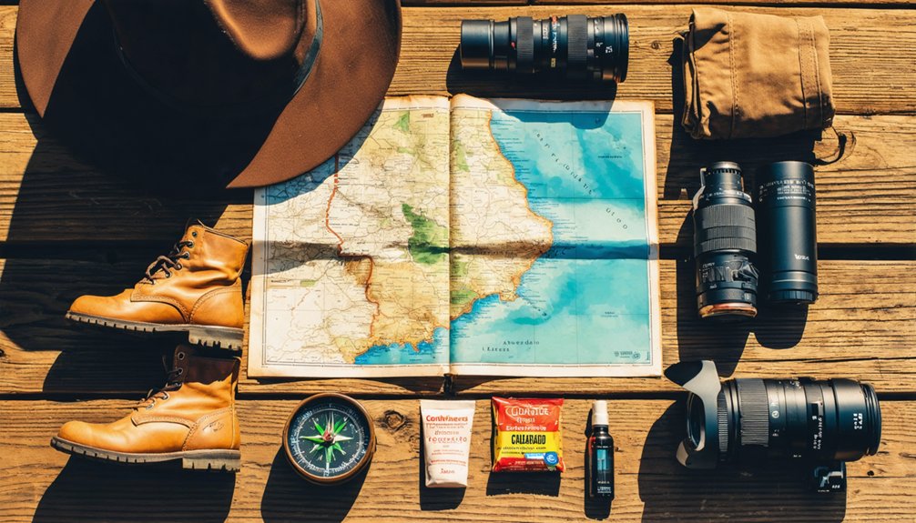
Packing for a ghost-town run through McPhee’s country means preparing for terrain that doesn’t forgive shortcuts. Bring enough water for water safety across long stretches where refill points don’t exist.
Sturdy boots handle uneven ground at accessible sites nearby, where decades-old debris hides underfoot. Sun protection and layered clothing cover sudden weather shifts at higher elevations along the broader circuit.
Carry printed or downloaded maps because cell service disappears without warning. A basic first-aid kit earns its weight fast in remote areas.
At every stop, treat historical artifacts with strict respect — don’t disturb, pocket, or reposition anything you find. These remnants anchor the story of communities that rose hard and vanished fast. Your job is to witness, not collect.
Frequently Asked Questions
Is Mcphee Reservoir Open to Fishing, Boating, or Swimming Today?
You’ll want to check current fishing regulations and boating safety rules before heading out — McPhee Reservoir typically welcomes anglers and boaters, but conditions change. Confirm today’s access status with local Colorado Parks and Wildlife authorities.
Are There Guided Tours Covering Mcphee’s Logging History Available Nearby?
Sawdust ghosts linger in the mountain air, but guided tour options for historical logging at McPhee aren’t formally established. You’ll uncover the story through local Dolores heritage centers, regional museums, and knowledgeable guides leading broader southwestern Colorado history excursions.
What Is the Best Time of Year to Visit the Mcphee Area?
You’ll find late spring through early fall offers the best seasonal weather for exploring McPhee’s historical landmarks. Summer opens roads, clears skies, and lets you roam freely through southwestern Colorado’s rugged, storied ghost-town country.
Are Pets Allowed at Mcphee Reservoir and Nearby Ghost-Town Sites?
You’ll find pets are often welcome, but check current pet policies before you arrive. Keep wildlife interactions in mind — just as McPhee’s loggers once shared this land with nature, your dog shares it too.
Is There Camping Available Close to the Mcphee Reservoir Area?
You’ll find camping available near McPhee Reservoir, so check current camping regulations before you roll in. Nearby accommodations also exist for those craving comfort after chasing Colorado’s vanished, water-swallowed logging history across wild, open country.
References
- https://999thepoint.com/the-ultimate-ghost-town-road-trip-through-colorado/
- https://tranquiltrekker.com/central-colorado-ghost-towns-independence-pass/
- https://www.youtube.com/watch?v=8QWmACBsznI
- https://www.colorado.com/articles/colorado-ghost-towns
- https://www.youtube.com/watch?v=PEZASHxQoTg
- https://www.uncovercolorado.com/ghost-towns/
- https://www.4x4explore.com/dest/dest_ghst.htm
- https://en.wikipedia.org/wiki/List_of_ghost_towns_in_Colorado