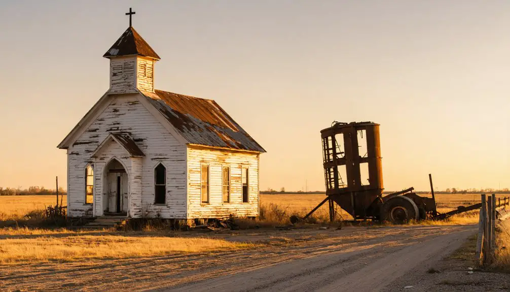
When you’re planning a ghost town road trip in Oklahoma, Keystone is unlike anything else you’ll find. It sits 18 miles west of Tulsa, where an entire frontier community — once home to cowboys, Creek Indians, and river gamblers — was deliberately submerged beneath Keystone Lake after dam construction began in 1956. You can still spot ruins during low water conditions. Stick around to uncover everything this haunting destination has to offer.
Key Takeaways
- Keystone sits about 18 miles west of Tulsa at the Arkansas and Cimarron Rivers confluence, making it an easy day trip destination.
- Visit in late spring or fall to avoid extreme summer heat and enjoy comfortable exploring conditions.
- Low water levels reveal submerged remnants like old Highway 51 fragments and foundation blocks from the flooded town.
- Combine the ghost town site with hydroelectric facility tours, scenic overlooks, and Arkansas River fishing for a full visit.
- The town was deliberately flooded after 1956 dam construction, preserving a fascinating layer of frontier history underwater.
What Was Keystone, Oklahoma Before the Lake?
Before Keystone Lake swallowed it whole, Keystone, Oklahoma was a scrappy frontier town sitting at the confluence of the Arkansas and Cimarron Rivers in Tulsa County, roughly 18 miles west of Tulsa. That river confluence wasn’t accidental scenery — it made Keystone a natural hub for cowboys, Creek Indians, oilfield workers, and river gamblers moving through Indian Territory.
Starting as a tent city around 1900, the town grew into a legitimate post office community that lasted until 1962. You’d have found real frontier energy here, the kind that left historical artifacts embedded in its foundations and broken concrete long after residents cleared out.
The Flood Control Act of 1950 sealed its fate, and dam construction eventually pushed Keystone underwater, trading a living town for a modern reservoir.
Why Keystone Was Abandoned and Submerged
When the Flood Control Act of 1950 authorized the Keystone Dam project, it effectively signed the town’s death warrant. Construction began in December 1956, and by September 1964, flood-control operations were running.
That river confluence where the Arkansas and Cimarron once met — the same geography that built Keystone — ultimately sealed its fate.
The town’s flooding history isn’t a story of neglect or economic collapse. It’s a deliberate trade-off. Federal engineers chose this junction deliberately, knowing the water would swallow everything below.
Residents relocated, businesses disappeared, and a community that had survived frontier roughness, oil booms, and shifting fortunes finally surrendered — not to time, but to rising water.
Today, Keystone Lake covers what thousands of people once called home.
How the Keystone Dam Project Erased a Frontier Town
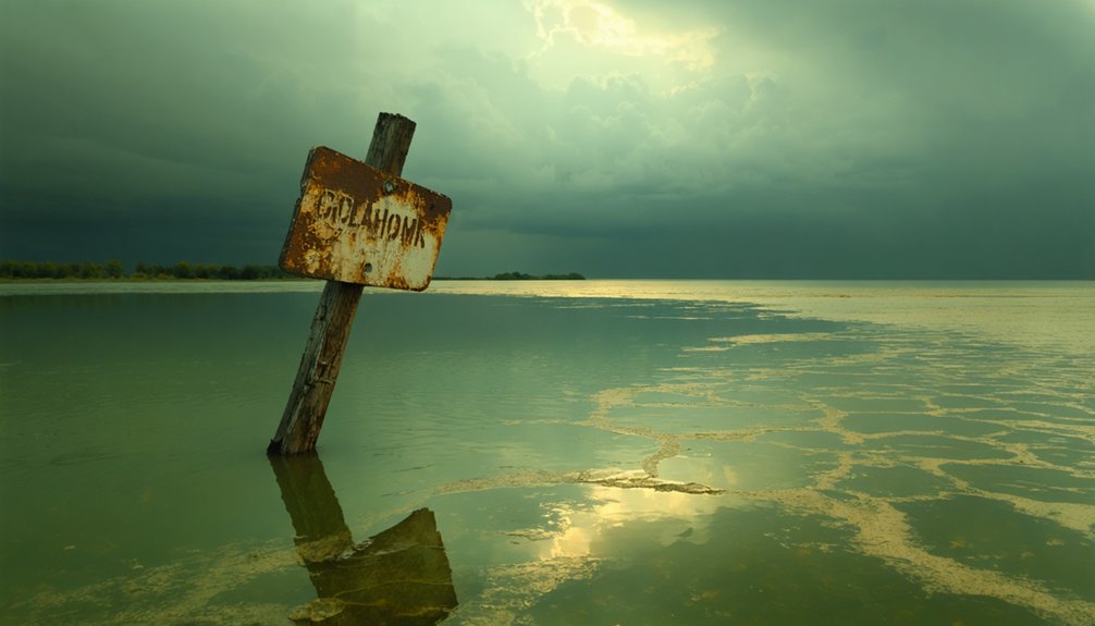
The federal government set this erasure in motion when the Flood Control Act of 1950 authorized the Keystone Dam project, and construction crews broke ground in December 1956.
You can trace exactly how the dam buried Keystone by understanding that the rising reservoir didn’t just flood streets — it swallowed an entire frontier community built at the junction of two rivers.
When flood-control operations launched in September 1964, the town’s saloons, foundations, and road segments disappeared beneath the lake that now carries Keystone’s name.
Dam Authorization And Planning
What ultimately erased Keystone from the map wasn’t a drought, a fire, or a dying economy — it was a federal signature. When Congress passed the Flood Control Act of 1950, it authorized a project that would permanently alter the Arkansas River valley.
Keystone’s historic architecture, built around river commerce and frontier trade, was already living on borrowed time. Planning moved steadily through the early 1950s, and by December 1956, construction crews broke ground on the Keystone Dam.
The town that had thrived at the junction of two rivers — a strategic position reflected in its very name — faced an unavoidable end. No individual disaster claimed it.
Instead, a coordinated federal engineering effort systematically transformed the landscape, trading a living frontier community for flood control and hydroelectric power.
Construction Erased The Town
Ground broke on the Keystone Dam in December 1956, and from that moment, Keystone’s fate wasn’t just sealed — it was scheduled. The rising waters didn’t just flood a town; they erased generations of river trade, frontier commerce, and historic architecture built by people who carved a life at two rivers’ edge.
Construction systematically ended the community in three stages:
- Residents relocated as the dam’s footprint expanded across the Arkansas River valley.
- Buildings, roads, and historic architecture were abandoned or demolished before flooding began.
- Flood-control operations launched in September 1964, submerging what remained.
You’re now visiting a place where an entire economy once thrived. The water above that former river trade hub tells you something powerful — progress always extracts a price.
What The Lake Buried
Before Keystone Lake swallowed this stretch of the Arkansas River valley, an entire frontier economy operated here — cowboys, Creek Indians, river gamblers, and oilfield workers moving through a town that grew from a tent city into a legitimate river trade hub. That river confluence, where the Arkansas met the Cimarron, made Keystone strategically valuable long before engineers ever drew dam plans.
When the waters rose in 1964, they buried homes, businesses, roads, and historical artifacts that once defined daily life here. Old Highway 51 fragments and scattered foundation blocks survived above the waterline, but most of what made Keystone a living community now sits submerged.
You’re fundamentally standing above a drowned world — one the Army Corps of Engineers replaced with a reservoir and a scenic overlook.
What Ruins Remain at the Keystone Site Today
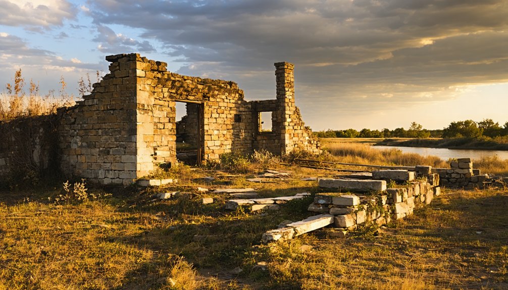
Although most of Keystone lies beneath the waters of the lake that bears its name, you’ll still find scattered remnants if you know where to look. The site rewards curious explorers willing to roam beyond the pavement.
Three tangible traces worth seeking out:
- Broken concrete slabs from old Highway 51, still jutting from the earth near the former town corridor
- Foundation blocks and a rock wall remnant, historical artifacts half-swallowed by overgrown ruins and creeping vegetation
- The Army Corps of Engineers scenic overlook, positioned above the submerged site with sweeping views of what the lake consumed
During low water conditions, additional structural traces occasionally surface.
You won’t find a walkable downtown, but you’ll connect directly with a place history deliberately drowned.
How to Reach the Keystone Ghost Town Area
Reaching the Keystone ghost town area is straightforward, since the dam and overlook sit roughly 18 to 19 miles west of Tulsa along the Highway 64 and Highway 51A corridor. Follow the signs toward Keystone Dam, and you’ll find the Army Corps of Engineers overlook accessible by standard 2WD vehicles. No specialized gear or permits slow you down.
From the overlook, you can scan the river crossings and lake waters that swallowed the old townsite decades ago. Local legends about frontier gamblers and Creek Indian traders feel surprisingly vivid once you’re standing above the submerged streets.
Keep your route flexible so you can swing through the dam facility on weekdays for hydroelectric tours, adding an engineering layer to your ghost-town experience.
Other Ghost Towns Near Keystone Lake Worth Visiting
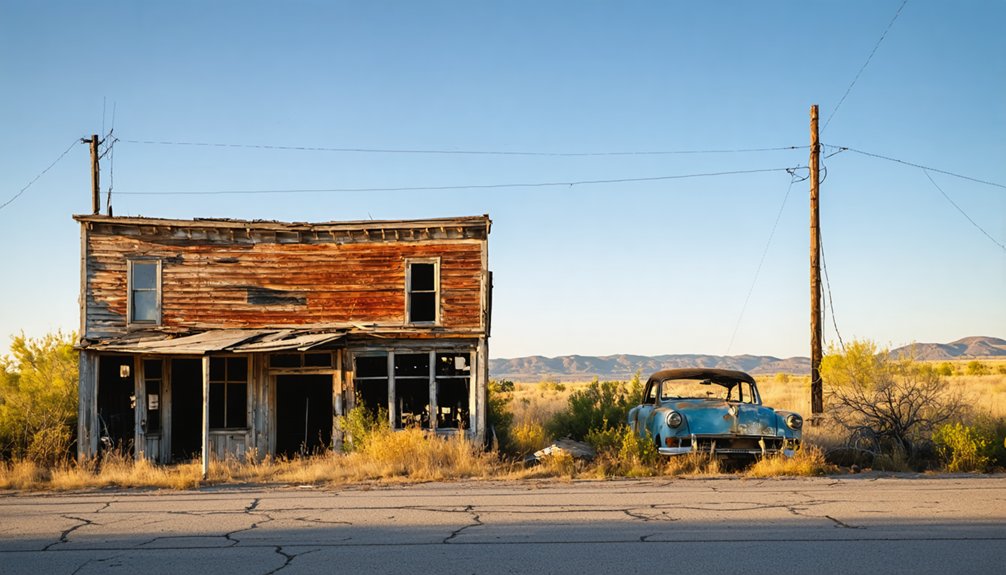
Keystone isn’t the only ghost town the lake swallowed. The Keystone Dam project erased several communities, giving you more history to chase along the shoreline. Expand your road trip and explore these nearby stops:
- Appalachia – A sister settlement that vanished alongside Keystone when the floodwaters rose. Appalachia carries its own local legends and scattered historical artifacts worth hunting down.
- Mannford (old town site) – The original Mannford relocated when the lake formed. Leaving traces that curious travelers still seek during low-water seasons.
- Prue – A small Creek Nation-era community nearby with deep frontier roots and stories that connect directly to the region’s oil and river trade past.
Each stop adds another layer to a road trip built around reclaiming forgotten Oklahoma history.
The Best Season to Visit Keystone, Oklahoma
Timing your visit to Keystone makes a real difference in what you’ll experience at the site. Spring and fall are your strongest choices.
Spring brings mild temperatures, green landscapes, and manageable crowds, giving you comfortable conditions for exploring the overlook and surrounding ruins.
Fall delivers stunning seasonal foliage along the Arkansas River valley, and the cooler air makes walking the area far more enjoyable.
Weather considerations matter here — Oklahoma summers turn brutally hot, making midday exploration exhausting and unpleasant.
Winters can bring cold snaps and limited access along certain roads.
If you’re chasing the best light for photography and the most comfortable conditions for moving freely through the site, plan your road trip between late March and May or September through November.
What to Do at Keystone Dam While You’re There
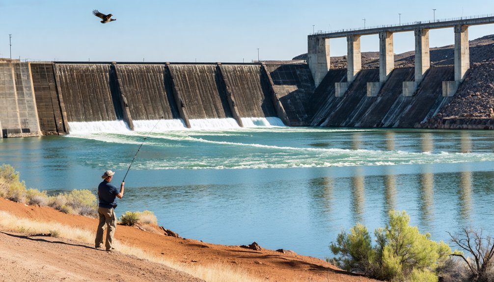
Once you’ve settled on your travel window, the ghost town site is only part of what pulls visitors to this stretch of the Arkansas River — Keystone Dam deserves serious attention on its own terms. The Army Corps of Engineers built something worth exploring, and you’ve got real options here:
The ghost town is just the beginning — Keystone Dam stands as its own compelling reason to make the trip.
- Tour the hydroelectric facilities on weekday visits to see the power plant up close.
- Enjoy scenic viewpoints maintained above the former town site, where the lake and dam create a striking visual contrast against submerged history.
- Try local fishing along the Arkansas River corridor, where conditions regularly attract anglers chasing bass and catfish.
You’re not just visiting a ghost town — you’re standing where frontier life, river geography, and modern engineering converge into one compelling stop.
Frequently Asked Questions
Is There an Entrance Fee to Visit the Keystone Dam Overlook Area?
You’ll access the Army Corps of Engineers’ scenic viewpoints and historical preservation site for free! No entrance fee stands between you and sweeping views of Keystone Dam’s engineering marvel and the ghost town’s submerged legacy below.
Can You Swim or Boat Near the Submerged Keystone Town Site?
You can boat and swim near the submerged ruins of Keystone, as Keystone Lake welcomes water recreation enthusiasts. You’ll float directly above the old town site, blending frontier history with open-water adventure.
Are Pets Allowed at the Army Corps of Engineers Overlook Site?
The knowledge base doesn’t confirm pet restrictions at the overlook, so check directly with the Army Corps of Engineers. You’ll likely need leashes due to wildlife encounters, keeping your adventure free and your pets safe.
Does Low Water Ever Fully Expose the Original Keystone Townsite?
You won’t see the full townsite exposed, but water level fluctuations do occasionally reveal historical relics like foundations and structure traces. Low conditions offer tantalizing glimpses, so you’ll want to visit during drought periods for the best views.
Are There Camping Facilities Available Near the Keystone Ghost Town Area?
You’ll find camping amenities and picnic areas managed by the Army Corps of Engineers near Keystone Dam. They offer you the freedom to base camp close to the ghost town’s haunting remnants and stunning lake views.
References
- https://www.travelok.com/articles/oklahomaghosttowns
- https://www.facebook.com/groups/103736373061312/posts/3253293248105593/
- https://www.swt.usace.army.mil/Locations/Tulsa-District-Lakes/Oklahoma/Keystone-Lake/History/
- https://www.youtube.com/watch?v=lJy7Q8kNbGU
- https://www.okhistory.org/publications/enc/entry?entry=GH002
- https://www.ghosttowns.com/states/ok/keystone.html
- https://www.qx13.net/Scales/Appalachia/index.htm
- https://en.wikipedia.org/wiki/List_of_ghost_towns_in_Oklahoma
- https://thesocialokie.com/oklahoma-ghost-towns/