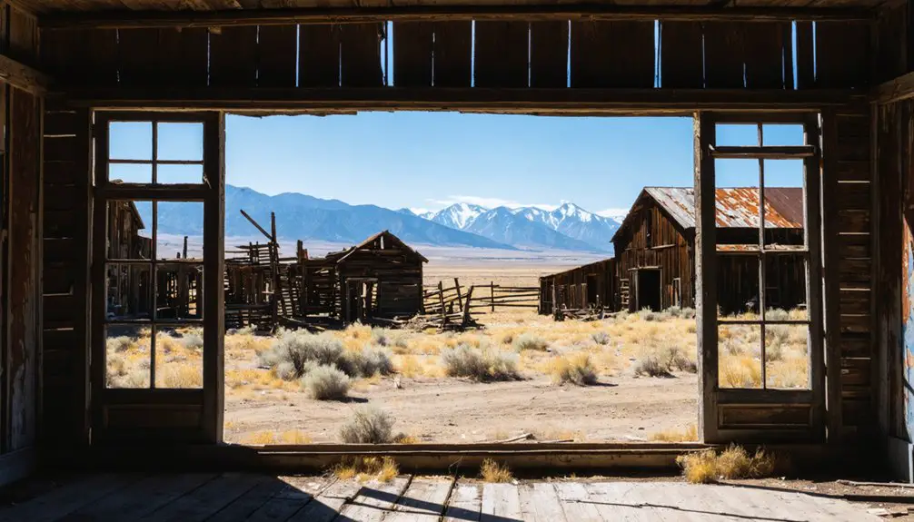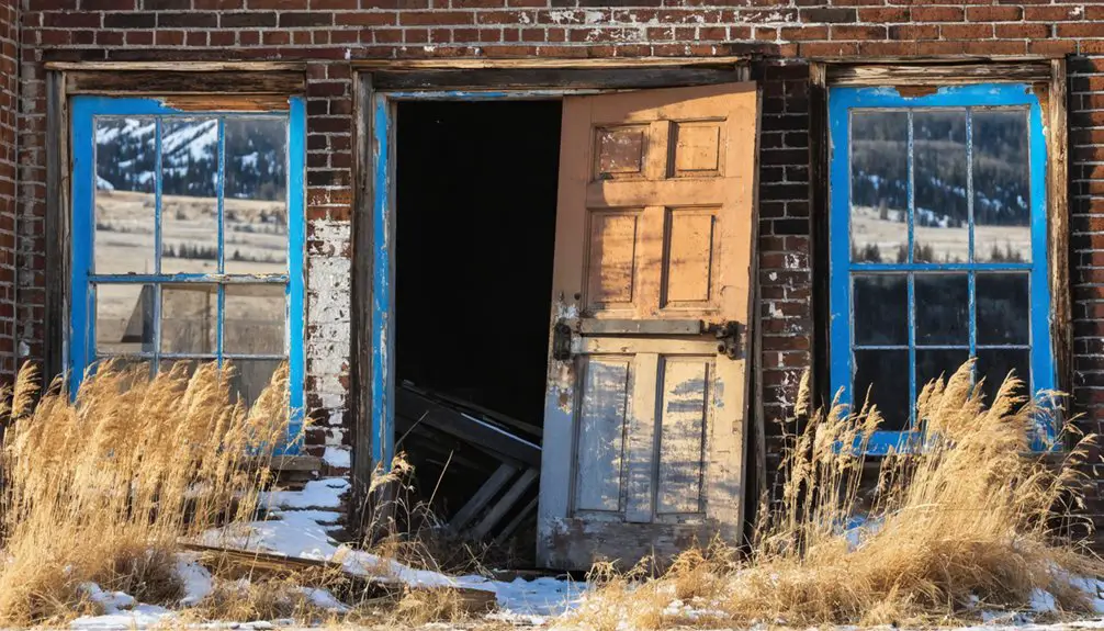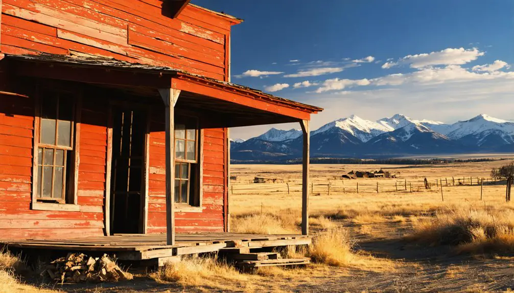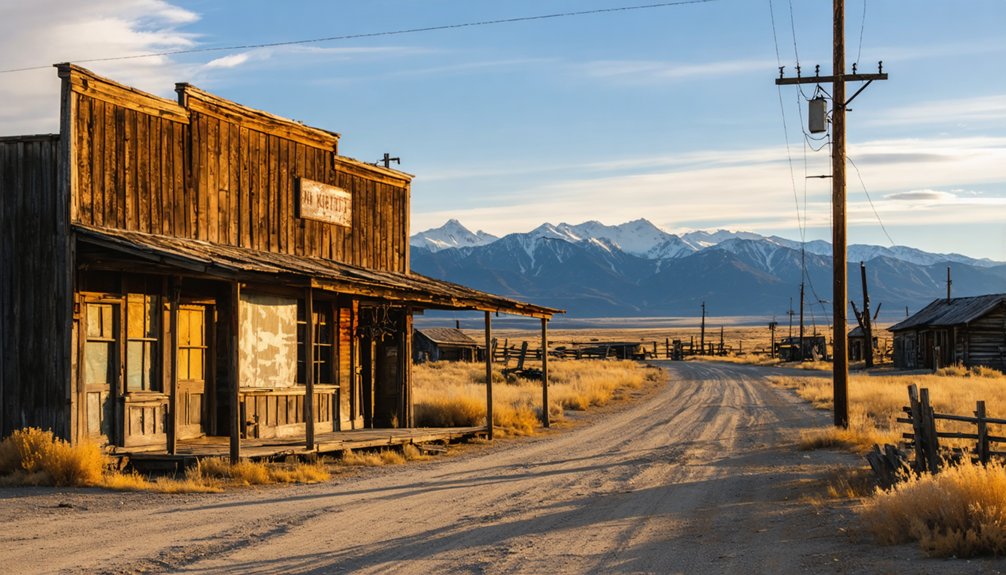
Planning a ghost town road trip to Zortman, Montana means trading pavement for gravel as you wind into the Little Rocky Mountains of Phillips County. You’ll find weathered cabins, a white clapboard church, and real mining relics scattered across a landscape that once bustled with nearly 2,000 souls chasing gold. Visit between late spring and early fall for the best road conditions. There’s far more to this forgotten boomtown than first meets the eye.
Key Takeaways
- Zortman, Montana, sits in Phillips County’s Little Rocky Mountains, accessible via US Highway 2 to Malta, then south on scenic gravel roads.
- Standard 2WD vehicles handle the gravel roads fine; however, confirm current road conditions before departing to avoid unexpected travel disruptions.
- Visit during late spring, summer, or early fall for the best weather, road conditions, and overall ghost town exploration experience.
- Explore crumbling buildings, historic log cabins, and a standing white clapboard church, all narrating Zortman’s gold rush peak of nearly 2,000 residents.
- Check claim boundaries, reclamation restrictions, and Camp Creek Campground permit requirements with Phillips County or Montana land management offices before arriving.
What’s Left to See in Zortman Today
Wander through Zortman today and you’ll find a small, weathered village that’s held onto enough of its past to make the drive worthwhile. With roughly 82 residents, it’s barely a town, but that’s exactly the appeal. Crumbling structures, miners’ shacks, and historic log cabins scatter across the landscape, each one a quiet piece of history.
A white clapboard church still stands and deserves your attention. You won’t find a museum handing you historical artifacts behind glass — instead, you’ll walk among them, exposed and real.
Locals carry local legends about the boom years when nearly 2,000 people filled these hills chasing gold. Reclamation work is active in the area, so check current access conditions before you explore off the main paths.
How to Get to Zortman, Montana
Once you’ve taken in everything Zortman has to offer, getting there is half the adventure. Zortman sits in Phillips County, Montana, tucked inside the Little Rocky Mountains. You can reach it via standard 2WD vehicle, so no specialized rig is required.
Head toward Malta on US Highway 2, then turn south toward the Little Rockies. The roads shift to gravel as you climb toward town, rewarding your drive with sweeping landscapes before you even spot the first piece of mining equipment or historical architecture.
Plan your visit between late spring and early fall to avoid brutal winter conditions. Before you go, check current access rules and claim boundaries, since reclamation work remains active.
Cell service is limited, so download offline maps and fuel up before leaving the highway.
Best Time of Year to Visit Zortman
Timing your visit to Zortman makes a real difference, since the Little Rocky Mountains dish out cold, snowy winters that can turn gravel roads into a gamble. You’ll want open roads, decent weather, and enough daylight to explore historical artifacts and soak in the atmosphere where ghost stories linger around every crumbling corner.
Timing your Zortman visit matters—cold winters turn gravel roads into a gamble and ghost stories into frozen mysteries.
- Late Spring (May–June): Snow clears, wildflowers emerge, and roads firm up nicely.
- Summer (July–August): Long days give you maximum exploration time, though wildfire risk rises.
- Early Fall (September): Cooler temps, stunning foliage, and thinner crowds create an ideal mood.
- Winter (November–March): Avoid unless you’re equipped for serious cold and unpredictable road conditions.
Always check seasonal access rules before heading out.
How a Gold Rush Turned This Montana Gulch Into a Boomtown
Now that you’ve picked your season, it’s worth knowing what drew anyone to this remote Montana gulch in the first place. Gold prospectors arrived in the late 1860s, but serious discoveries didn’t ignite until 1884.
By 1890, Zortman had taken shape, named after Oliver “Pete” Zortman, who helped build a local mill.
The Ruby Gulch mine launched full production in 1904, pulling roughly $14,000 in gold daily at its peak.
By the 1920s, nearly 2,000 people lived here, supported by nine bars, hotels, schools, and a hospital.
Today, the historical artifacts and mining relics scattered across the landscape tell that story better than any textbook.
Walking these grounds, you’ll feel the ambition and grit that once defined this free-spirited mountain community.
Where to Camp Near Zortman
If you’re spending the night near Zortman, Camp Creek Campground gives you a solid base for exploring the Little Rocky Mountains without rushing back to a distant motel.
You can wake up close to the historic townsite, then head out on off-road trails or try your hand at gold panning in the local creeks.
Before you arrive, check current access rules and seasonal conditions, since reclamation work in the area can shift boundaries and limit certain routes.
Camp Creek Campground Details
Nestled near the rugged Little Rocky Mountains, Camp Creek Campground gives you a solid basecamp for exploring Zortman and its surrounding backcountry. You’ll find yourself close to historic ruins, open trails, and creek access perfect for gold panning.
Here’s what to know before you arrive:
- Access – The campground is reachable by standard 2WD vehicle under normal conditions.
- Activities – Explore nearby historical artifacts left from Zortman’s mining era or spend time on wildlife observation along creek corridors.
- Seasons – Plan for cold nights even in summer; the Little Rockies don’t ease up easily.
- Rules – Check current claim boundaries and access regulations before panning or wandering off designated paths.
Pack light, stay curious, and respect the land you’re moving through.
Nearby Outdoor Recreation Options
Beyond Camp Creek Campground, the Little Rocky Mountains open up into a wider stretch of backcountry that rewards explorers willing to slow down and look around. Gravel cart roads wind through terrain where you’ll spot mule deer, eagles, and pronghorn if you’re patient. Wildlife viewing is genuinely rewarding here, especially during early morning hours when the hills are quiet.
You can follow old mining routes on foot or by off-road vehicle, stumbling across historical artifacts embedded in the landscape — rusted equipment, collapsed structures, and remnants of a district that once produced millions in gold.
Gold panning in local creeks adds another layer to the experience. Before heading out, check current claim boundaries and access rules so your adventure stays legal and unrestricted.
Gold Panning, Off-Road Trails, and What Else to Do Nearby
If you’re drawn to hands-on history, you can try gold panning in the local creeks and claims that once fed a booming mining district. Check current claim boundaries and access rules before you head out, since reclamation work remains active in the area.
Beyond the water’s edge, gravel cart roads and backcountry routes give off-road riders and drivers a rugged way to explore the Little Rocky Mountains on their own terms.
Gold Panning Local Creeks
Why visit a gold district without trying your hand at panning? Zortman’s creeks once funded a boomtown, and gold prospecting remains a real, hands-on way to connect with that history. Creek exploration here puts you directly in the landscape where miners struck it rich over a century ago.
Before you wade in, keep these essentials in mind:
- Verify claim boundaries — some creek sections are privately held or actively claimed.
- Grab a basic pan and classifier — lightweight gear works fine for beginners.
- Focus on inside bends and bedrock cracks — gold settles in predictable spots.
- Check seasonal water levels — late summer offers calmer, clearer creek conditions.
You won’t strike it rich, but you’ll leave with a genuine feel for what drove thousands here.
Off-Road Trail Options
Once you’ve rinsed the creek mud off your boots, the Little Rocky Mountains open up a whole different kind of invitation. Gravel cart roads and backcountry routes thread through the hills, rewarding careful off-road navigation with views that most travelers never reach.
You’ll roll past scattered historical artifacts — collapsed structures, rusted equipment, remnants of miners who worked these ridges over a century ago. The terrain shifts quickly here, so check current access rules and seasonal conditions before you head out.
Some routes connect toward Landusky, Zortman’s historic companion site, giving you a broader picture of the entire mining district. Go slow, keep your eyes open, and let the landscape tell its story on its own terms.
Road Conditions, Claim Boundaries, and Permits Before You Go
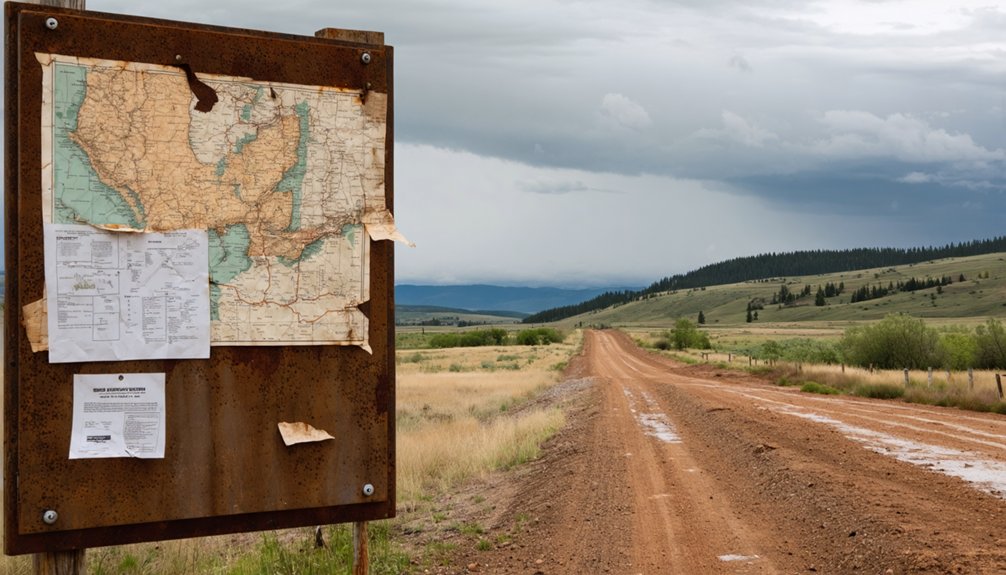
Before you load up the car and head for the Little Rocky Mountains, you’ll want to confirm that the roads, access points, and claim boundaries are working in your favor. Conditions shift seasonally, and nothing kills momentum like a locked gate or restricted trail.
Conditions shift seasonally — confirm roads, access points, and claim boundaries before a locked gate derails your plans.
- Check road conditions — Zortman’s gravel cart roads are 2WD-accessible but can deteriorate after winter snowmelt.
- Verify claim boundaries — Active reclamation work means some areas restrict gold panning and historical artifact collection.
- Confirm camping permits — Camp Creek Campground may require reservations depending on the season.
- Review wildlife viewing regulations — The Little Rockies support diverse wildlife, and certain corridors carry seasonal restrictions.
Contact Phillips County or Montana’s land management offices before departure so you arrive informed and unrestricted.
Frequently Asked Questions
Is Zortman an Incorporated Town or an Unincorporated Community?
You’ll find Zortman’s an unincorporated community, not an incorporated town. You can explore its historical landmarks, soak in local legends, and experience authentic frontier freedom without the boundaries of formal municipal structure defining your adventure.
How Many People Currently Live in Zortman, Montana?
Like a flickering ember, Zortman’s population barely glows—you’ll find around 60–82 residents keeping historical preservation alive. It’s a small community where tourism development breathes new life into this freedom-seeker’s destination.
Was Zortman Named After a Real Historical Person?
Yes, you’ll find Zortman’s historical naming traces back to a real man — Oliver “Pete” Zortman. He’s one of the mountain legends who helped build a gold mill, forever branding this rugged Montana district with his name.
Did Zortman Ever Have Paranormal Investigations or Documented Ghost Sightings?
You won’t find any documented ghost sightings or paranormal activity in Zortman’s records. Despite its eerie abandoned structures and rich mining history, no credible paranormal investigations have ever been officially recorded there.
What Wildfire Caused the Most Destruction to Zortman’s Mining Operations?
The 1936 wildfire caused the most devastating wildfire impact, sweeping through the Little Rockies and leaving catastrophic mining destruction in its wake. You’d be stunned knowing it wiped out nearly all of Zortman’s once-thriving mining operations completely.
References
- https://visitmt.com/listing/town-site-of-zortman-and-landusky-6796
- https://www.youtube.com/watch?v=tM67nfbR9m0
- https://www.ghosttowns.com/states/mt/zortman.html
- https://justalittlefurther.com/just-a-little-further/2018/7/31/tth-ghost-towns-forts-and-a-big-dam
- https://www.youtube.com/watch?v=z6nJjB-r2QY
- https://www.mtghosttowns.com/zortman
- https://www.facebook.com/ghosttownsandhistoryofmontana/posts/zortmanlandusky-montana-it-is-uncertain-who-found-the-first-gold-in-the-little-r/1013985601955478/
- https://en.wikipedia.org/wiki/Zortman
- https://www.youtube.com/watch?v=eR2HYFbjuMs